2010s Maps of Fayette County, Texas
Explore 96 historic maps of Fayette County from the 2010s. These maps offer a rare glimpse into what life looked like during the 2010s — showing old roads, neighborhoods, homes, and landmarks that have changed or disappeared over time.
Whether you're researching your family's past, planning a metal detecting trip, or studying how Fayette County's landscape evolved across the 2010s, these high-resolution maps are a powerful tool for exploring the history of this region.
- Focus on a specific era: All maps on this page are from the 2010s, giving you a focused view of this time period.
- See what’s changed: Compare century-old streets, trails, and buildings to today's modern landscape using overlays and satellite layers.
- Research with precision: Use these maps for genealogy, historical research, land use analysis, or educational projects.
- View, download, or print: Maps are fully viewable online in high resolution, and can be downloaded or printed for your own records.
Start exploring Fayette County's history through authentic maps from the 2010s. This is your window into the past.
Fayette County, TX maps
(96)- 2010 Map of Waelder, 2010 Print
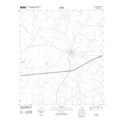 2010 Waelder2010 Print · USGSWaelder and the surrounding Gonzales County ranchlands are captured here during the first decade of the new millennium. Researchers can trace the drainage of Baldridge Creek, locate the Janecka Lake Dam, and explore the rural road network including Sparta Field Rd.
 - 2010 Map of La Grange West, 2010 Print
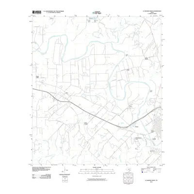 2010 La Grange West2010 Print · USGSFayette County at the dawn of the new millennium shows a landscape defined by the winding Colorado River and established rural communities. Researchers can trace family roots through Mantan Cemetery and Taylor Cemetery or locate old sites in Plum and Rabbs Prairie.
 - 2010 Map of Weimar, 2010 Print
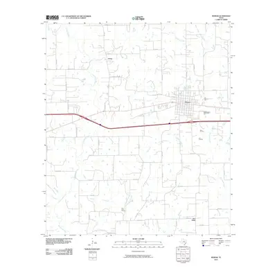 2010 Weimar2010 Print · USGSWeimar and the surrounding Colorado County countryside are captured here in the early twenty-first century. Genealogists and local historians can trace family ties at Dubina and New Bielau, or locate the Boeer Cemetery and Clear Creek Cemetery.
 - 2010 Map of Schulenburg, 2010 Print
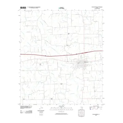 2010 Schulenburg2010 Print · USGSSchulenburg and the surrounding Fayette County prairie are captured here in the early twenty-first century, showing a landscape defined by ranching and the West Navidad River. Genealogists and local historians can locate the Old High Hill Cemetery, the Schulenburg Cotton Compress, and family landmarks like Falke-Heinrich Rd.
 - 2010 Map of Flatonia, 2010 Print
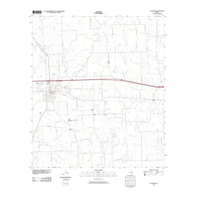 2010 Flatonia2010 Print · USGSThis South Texas landscape near the turn of the decade highlights the transition from Old Flatonia to the modern rail hub. Genealogists can trace family footprints across Praha and Engle, or locate ancestral sites at Slavonic Cemetery and Criswell Cemetery.
 - 2010 Map of Jeddo, 2010 Print
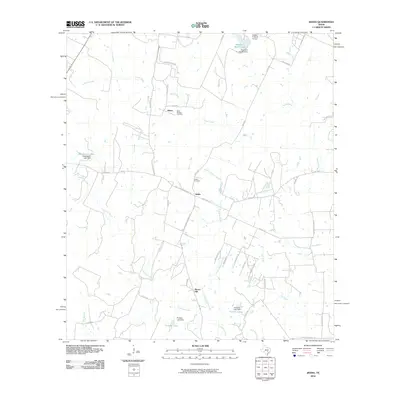 2010 Jeddo2010 Print · USGSTexas ranching country in the early twenty-first century is defined by its small settlements and creek-fed valleys. Genealogists and local historians can trace family ties through Saint Phillips Cemetery, Jeddo Cemetery, and the quiet crossroads at Salem.
 - 2010 Map of Cistern, 2010 Print
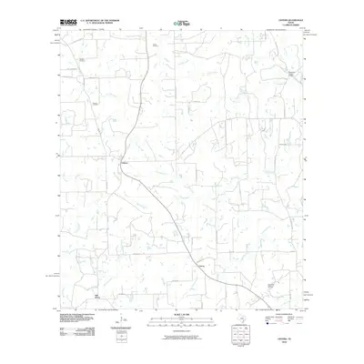 2010 Cistern2010 Print · USGSFayette County rural life and the local oil economy are captured here just after the turn of the millennium. Researchers can locate family burial sites like Psencik Cemetery and Grays Cemetery or trace the roads connecting Cistern, Colony, and Elm Grove.
 - 2010 Map of Togo, 2010 Print
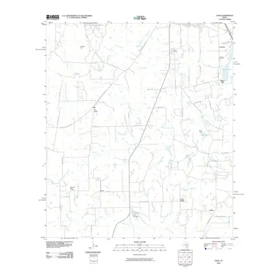 2010 Togo2010 Print · USGSBastrop County rural life and family lands are well-documented here as they appeared at the start of the 2010s. Researchers can locate ancestral plots near Togo and Kovar, or trace heritage sites like Old Bartons Creek Cemetery and the settlement at Flower Hill.
 - 2010 Map of Ledbetter, 2010 Print
 2010 Ledbetter2010 Print · USGSLedbetter and the surrounding Fayette County ranch lands are documented here in the early twenty-first century. Researchers can trace family history at the Atkinson Cemetery and Wolf Cemetery or locate landmarks like the Bar S Ranch Airport and Goerlitz Lake.
 - 2010 Map of Carmine, 2010 Print
 2010 Carmine2010 Print · USGSThe rural landscape of Fayette County is captured in this 2010 survey, centered on the community of Carmine and the historic area of La Bahia. Family historians can trace ancestral lands and local landmarks like Hartstack Cemetery, Homeymeyer Mountain, and Schoenberg Lake.
 - 2010 Map of Greenvine, 2010 Print
 2010 Greenvine2010 Print · USGSThe rural communities of Latium and Greenvine are depicted here during the first decade of the 21st century. Genealogists can trace family heritage through numerous burial grounds including the Jaeger-Witte Cemetery, Burkhardt Cemetery, and Bethlehem Cemetery.
 - 2010 Map of Winchester, 2010 Print
 2010 Winchester2010 Print · USGSThe rural landscapes around Winchester and Pin Oak are captured here during the first decade of the 2000s. Genealogists and researchers can trace local landmarks like Madison Ranch, Shipp Lake, and the various crossings along the Colorado River.
 - 2010 Map of Round Top, 2010 Print
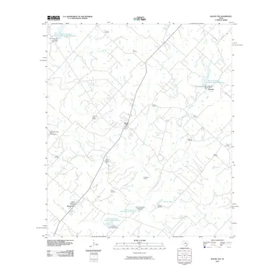 2010 Round Top2010 Print · USGSFayette County at the turn of the 21st century remains a landscape of deep Texas roots and historic homesteads. Genealogists can locate numerous small family burial sites such as Florida Chapel Cemetery and Kraus Cemetery, or trace the William Neese Senior Homestead near Warrenton.
 - 2010 Map of Warda, 2010 Print
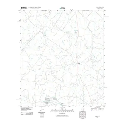 2010 Warda2010 Print · USGSTexas ranchlands and small-town crossroads define this area of Lee County during the early twenty-first century. Genealogists and local historians can trace family roots at Foerster Cemetery or locate landmarks like Walker Lake and the rural settlement of Northrup.
 - 2010 Map of Nechanitz, 2010 Print
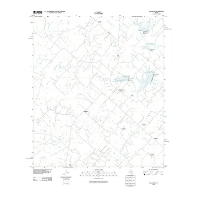 2010 Nechanitz2010 Print · USGSFayette County settlement and agricultural water management are well-documented here during the early twenty-first century. Researchers can trace family roots at Waldeck Cemetery or locate landmarks like the Ullrich Airport and Nechanitz.
 - 2010 Map of Ammannsville, 2010 Print
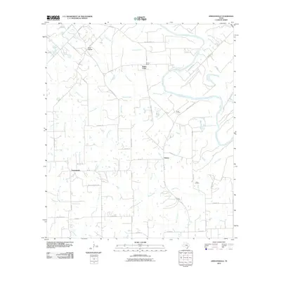 2010 Ammannsville2010 Print · USGSFayette County’s rural crossroads are captured here in the early twenty-first century, showing the enduring pattern of Texas farm-to-market life. Researchers can trace family history through sites like Brandt Cemetery and Shaw Cemetery or locate the historic centers of Ammannsville and Holman.
 - 2010 Map of Industry, 2010 Print
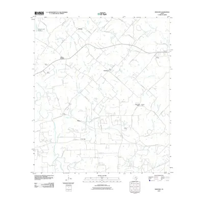 2010 Industry2010 Print · USGSAustin County at the start of the twenty-first century shows a landscape of family-owned lands and small rural clusters. Genealogists can locate several family burial grounds, such as Knolle Cemetery and Floyd Cemetery, alongside settlements like Pisek and Willow Springs.
 - 2010 Map of Flatonia NW, 2010 Print
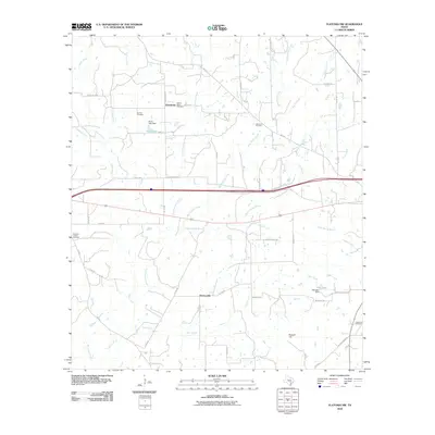 2010 Flatonia NW2010 Print · USGSThe rural expanses of Gonzales County are captured here in the early twenty-first century, showing a landscape defined by creeks and historic family-named sites. Researchers can locate numerous local landmarks like Andrews Chapel, Newtonville, and the Mount Olive Cemetery.
 - 2010 Map of West Point, 2010 Print
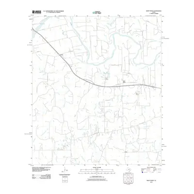 2010 West Point2010 Print · USGSFayette County's rural river lands are documented here in the early twenty-first century, showing the enduring agricultural and rail-stop layout. Researchers can trace family history through the Woods Prairie Cemetery and the settlement of Kirtley.
 - 2010 Map of Muldoon, 2010 Print
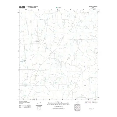 2010 Muldoon2010 Print · USGSCentral Fayette County's rural landscape is mapped here in the early twenty-first century, showing the crossroads at Muldoon. Genealogists can locate family landmarks like Pitman Cemetery, Black Jack Springs Cemetery, and the Muldoon Oil Field.
 - 2010 Map of Ellinger, 2010 Print
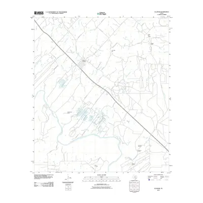 2010 Ellinger2010 Print · USGSSoutheast Texas at the turn of the millennium reveals a rural landscape defined by the winding Colorado River and the small town of Ellinger. Genealogists and local historians can map family ties through sites like Adkins Cemetery, the Rocky Hill School, and Live Oak Hill.
 - 2010 Map of Swiss Alp, 2010 Print
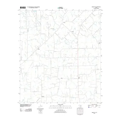 2010 Swiss Alp2010 Print · USGSFayette County settlement patterns remain visible in this 2010 survey of the Navidad River headwaters. Trace local history through family-named landmarks like Kaase Cemetery or visit the rural crossroads of Swiss Alp and Freyburg.
 - 2010 Map of Fayetteville, 2010 Print
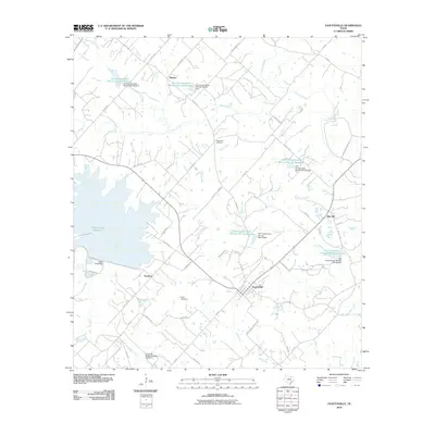 2010 Fayetteville2010 Print · USGSFayetteville and its neighboring Texas hamlets are shown here at the turn of the decade, amidst a landscape of working farms and managed waterways. Genealogists can trace family footprints through Halimecek Cemetery, Eilers Cemetery, and the old crossroads at Tamberg and Roznov.
 - 2010 Map of La Grange East, 2010 Print
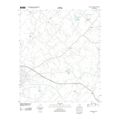 2010 La Grange East2010 Print · USGSFayette County east of La Grange is captured here in the early twenty-first century, showing a landscape defined by the Colorado River and historic rural communities. Researchers can trace family roots through Moore Cemetery or locate old sites at Rutersville, Oldenburg, and Halsted.
 - 2013 Map of Ledbetter, 2013 Print
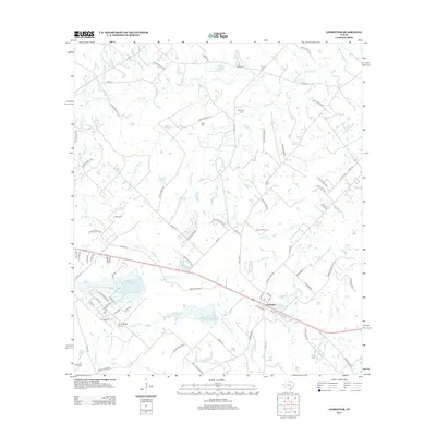 2013 Ledbetter2013 Print · USGSThe community of Ledbetter and its surrounding ranch lands are captured here during the early twenty-first century. Researchers can trace family history at Atkinson Cem and Rost Cem or locate rural landmarks like Goerlitz Lake and the Bar S Ranch Airport.
Showing maps 1-25 of 96
Top cities of Fayette County
- La Grange historical maps
- Schulenburg historical maps
- Flatonia historical maps
- Fayetteville historical maps
- Carmine historical maps
- Ellinger historical maps
See more
Frequently asked questions
- What are the different types of historical maps available for Fayette County?
- What is the oldest map of Fayette County?
- Where can I purchase historical maps of Fayette County for my home or office?
- Where can I download high-res historical maps of Fayette County?
- Are there historical topographic maps available for Fayette County?
- Is there historical aerial imagery available for Fayette County?
- Where are historical maps of Fayette County sourced from?