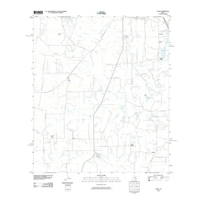
2010 Map of Togo
USGS Topo · Published 2010About this map
Togo and Kovar anchor this central Texas landscape, characterized by small rural settlements and a network of creeks that define the local geography. The area south of Royston Hill is primarily agricultural, crossed by numerous family-named roads and lanes like Zapalac Rd and Zimmerhanzel Rd, which point to the region's genealogical history. Water management is evident through features like the Ellisor Dam on Ellisor Lake and Moore Lake Dam.
Find a feature on this map
53 named features on this map. Tap any name to fly to it.
Don’t see what you’re looking for? This feature index may not catch every label — zoom into the map to look around manually.
Map Details
Editions of this 2010 Togo Map
This is the sole edition of this map. No revisions or reprints were ever made.
Other maps of this area

1885 · Bastrop
USGS Topo · 1:125,000

1893 · Bastrop
USGS Topo · 1:125,000

1901 · Flatonia
USGS Topo · 1:125,000

1904 · Bastrop
USGS Topo · 1:125,000

1948 · Smithville
USGS Topo · 1:62,500

1948 · Bastrop
USGS Topo · 1:62,500

1950 · Bastrop
USGS Topo · 1:62,500

1950 · Smithville
USGS Topo · 1:62,500

1953 · Seguin
USGS Topo · 1:250,000

1954 · Austin
USGS Topo · 1:250,000