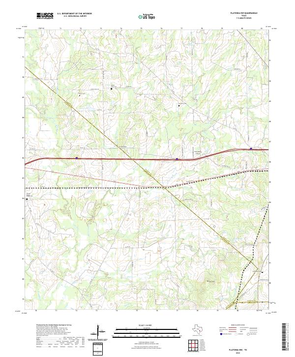
2022 Map of Flatonia NW
USGS Topo · Published 2022About this map
The rolling prairies of the Texas Blackland transition into post oak savannah along the triple border of Fayette, Gonzales, and Lavaca counties. This rural landscape is defined by the headwaters of the Lavaca River and several creek systems including Peach Cr and Big Fivemile Cr. Family history is deeply rooted here, evidenced by several small, isolated burial grounds such as Cochran Cem and Sommers Cem, which stand as quiet markers of early settlement patterns before the modern division of the land by Interstate 10.
Find a feature on this map
62 named features on this map. Tap any name to fly to it.
Don’t see what you’re looking for? This feature index may not catch every label — zoom into the map to look around manually.
Map Details
Editions of this 2022 Flatonia NW Map
This is the sole edition of this map. No revisions or reprints were ever made.
Other maps of this area

1901 · Flatonia
USGS Topo · 1:125,000

1953 · Seguin
USGS Topo · 1:250,000

1958 · Seguin
USGS Topo · 1:250,000

1962 · Dilworth
USGS Topo · 1:24,000

1964 · Waelder
USGS Topo · 1:24,000

1964 · Jeddo
USGS Topo · 1:24,000

1965 · Muldoon
USGS Topo · 1:24,000

1965 · Cistern
USGS Topo · 1:24,000

1965 · Komensky
USGS Topo · 1:24,000

1965 · Flatonia
USGS Topo · 1:24,000