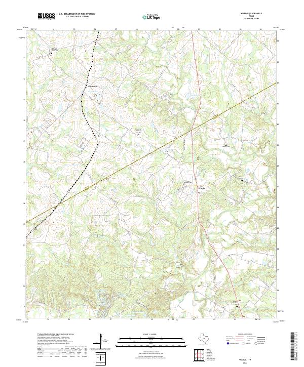
2022 Map of Warda
USGS Topo · Published 2022About this map
The borderlands between Lee and Fayette counties are defined by a network of creeks and several Lutheran landmarks that speak to the area’s German-Texan heritage. Holy Cross Lutheran Cem and Saint Paul Lutheran Church Cem serve as focal points for the rural communities of Warda and Northrup, respectively. The landscape is deeply carved by water, with Rabbs Creek and Sandy Creek draining towards the southeast through a series of low-lying wetlands. Historically, this region is characterized by small-scale farming and family-owned properties, evidenced by the scattered private roads and family cemeteries such as Foerster Cem and Pine Grove Cem. Near the southern edge of the sheet, a cluster of numbered reservoirs, including Lake Number 6 and Lake Number 10, indicate modern water management efforts within the larger drainage basin of Bear Creek.
Find a feature on this map
86 named features on this map. Tap any name to fly to it.
Don’t see what you’re looking for? This feature index may not catch every label — zoom into the map to look around manually.
Map Details
Editions of this 2022 Warda Map
This is the sole edition of this map. No revisions or reprints were ever made.
Other maps of this area

1885 · Bastrop
USGS Topo · 1:125,000

1893 · Bastrop
USGS Topo · 1:125,000

1901 · Flatonia
USGS Topo · 1:125,000

1904 · Bastrop
USGS Topo · 1:125,000

1919 · Giddings
USGS Topo · 1:62,500

1948 · Smithville
USGS Topo · 1:62,500

1950 · Smithville
USGS Topo · 1:62,500

1953 · Seguin
USGS Topo · 1:250,000

1954 · Austin
USGS Topo · 1:250,000

1956 · La Grange
USGS Topo · 1:62,500