2000s (21st Century) Maps of Fisher County, Texas
Explore 100 historic maps of Fisher County from the 2000s (21st Century). These maps offer a rare glimpse into what life looked like during the 2000s — showing old roads, neighborhoods, homes, and landmarks that have changed or disappeared over time.
Whether you're researching your family's past, planning a metal detecting trip, or studying how Fisher County's landscape evolved across the 2000s, these high-resolution maps are a powerful tool for exploring the history of this region.
- Focus on a specific era: All maps on this page are from the 2000s, giving you a focused view of this time period.
- See what’s changed: Compare century-old streets, trails, and buildings to today's modern landscape using overlays and satellite layers.
- Research with precision: Use these maps for genealogy, historical research, land use analysis, or educational projects.
- View, download, or print: Maps are fully viewable online in high resolution, and can be downloaded or printed for your own records.
Start exploring Fisher County's history through authentic maps from the 2000s. This is your window into the past.
Fisher County, TX maps
(100)- 2010 Map of Inadale NW, 2010 Print
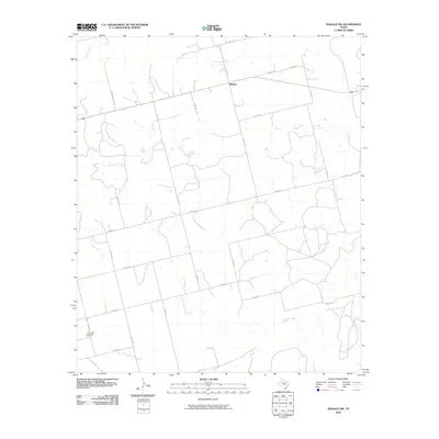 2010 Inadale NW2010 Print · USGSIn the ranching country of Scurry County during the early twenty-first century, this survey shows a landscape of expansive rural tracts and vital watercourses. Genealogists and local historians can locate Hermleigh Cemetery and trace the paths of Clear Fork and Buffalo Creek.
 - 2010 Map of Hamlin NW, 2010 Print
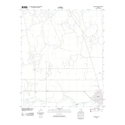 2010 Hamlin NW2010 Print · USGSNorthwest of Hamlin in the early twenty-first century, this Jones County landscape shows a rural Texas transition from town grids to river basins. Researchers can trace local history through markers like Afton Cemetery, the settlement at Hitson, and the waters of California Creek.
 - 2010 Map of McCaulley, 2010 Print
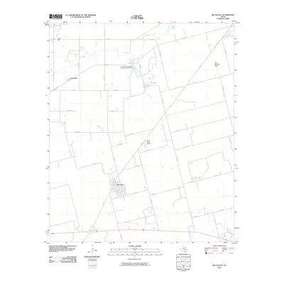 2010 McCaulley2010 Print · USGSThe rural landscape around McCaulley is captured here in the early twenty-first century, featuring a well-defined network of ranch roads and local industry. Researchers can trace land tracts near Peter Hill or locate industrial sites like Plasterco Lake and the Celotex works.
 - 2010 Map of Bull Creek, 2010 Print
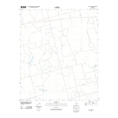 2010 Bull Creek2010 Print · USGSFisher County at the start of the decade shows a quiet ranching landscape defined by its vital water sources and long country roads. Researchers can trace the drainage of Clear Fork and Buffalo Creek or locate private water features like Gober Lake and Davenport Lake.
 - 2010 Map of Hudd, 2010 Print
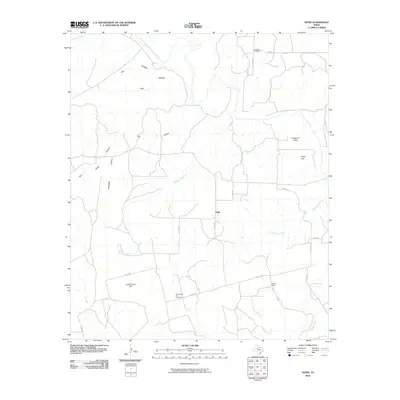 2010 Hudd2010 Print · USGSScurry County ranching country is documented here in the early twenty-first century as a landscape of isolated homesteads and deep canyons. Researchers can locate family landmarks like Criswell Ranch and historic burial sites at Cottonwood Flat Cemetery and Riverdale Cemetery.
 - 2010 Map of White Canyon, 2010 Print
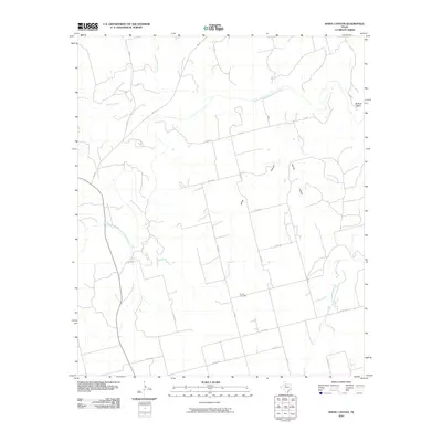 2010 White Canyon2010 Print · USGSStonewall County at the end of the first decade of the 21st century remains a landscape of wide-open ranchland and winding river bends. Local historians can trace family ties at Dowell Cemetery or follow the path of the Double Mountain Fork Brazos River through White Canyon.
 - 2010 Map of Camp Springs, 2010 Print
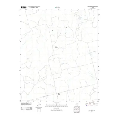 2010 Camp Springs2010 Print · USGSScurry County's ranching landscape is captured here in the early twenty-first century, centered on the small community of Camp Springs. Genealogists and local historians can locate the Camp Springs Cemetery and trace the paths of Turkey Creek and Rough Creek.
 - 2010 Map of Raven Creek North, 2010 Print
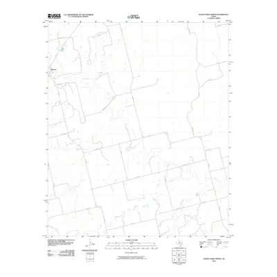 2010 Raven Creek North2010 Print · USGSJones County ranch lands and the winding Clear Fork are documented in this late-aughts survey. Genealogists and local historians can trace the rural grid around Sylvester and follow the natural drainage of China Creek and Raven Creek.
 - 2010 Map of Bernecker, 2010 Print
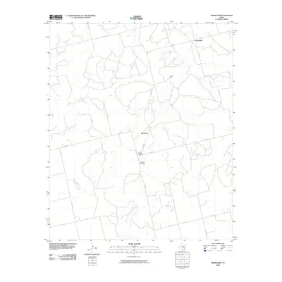 2010 Bernecker2010 Print · USGSFisher County ranching country is shown here in the early twenty-first century, featuring a landscape of sprawling acreage and seasonal creeks. Genealogists and local historians can trace the roads connecting Claytonville, the Eighteen Ranch, and the Round Mountain Cemetery.
 - 2010 Map of Tige Canyon, 2010 Print
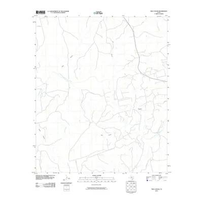 2010 Tige Canyon2010 Print · USGSStonewall County at the start of the twenty-first century reveals a landscape defined by the winding Double Mountain Fork Brazos River and energy extraction. Trace the rugged terrain through Tige Canyon and the Rough Draw Oil Field.
 - 2010 Map of Roby, 2010 Print
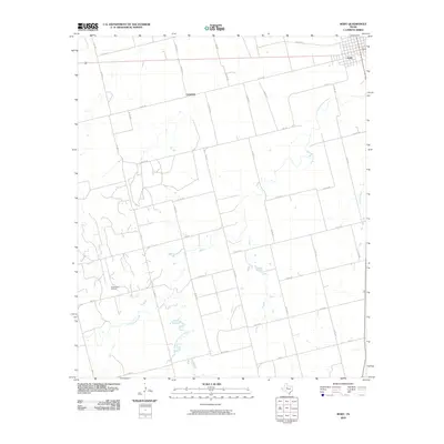 2010 Roby2010 Print · USGSFisher County remains a landscape of petroleum and prairie during the early twenty-first century. Researchers can trace the layout of Roby and the extent of the Claytonville Oil Field along with the paths of Cottonwood Creek and Sandy Creek.
 - 2010 Map of Hobbs, 2010 Print
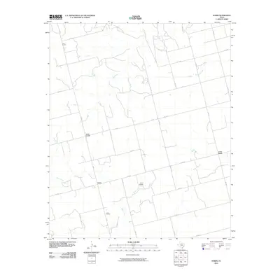 2010 Hobbs2010 Print · USGSFisher County ranching country is mapped here in the early twenty-first century, showing a landscape of seasonal creeks and dispersed communities. Genealogists and local historians can locate family landmarks at Hobbs Cemetery, Grady, and Scotts Corner.
 - 2010 Map of Royston, 2010 Print
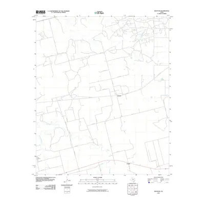 2010 Royston2010 Print · USGSFisher County ranch land and rural settlements are documented here in the early 2000s. Researchers can trace local history through sites like the Roby Cemetery, the community of Royston, and water sources like Kyle Spring and Clear Fork.
 - 2010 Map of Inadale, 2010 Print
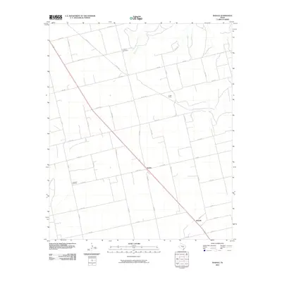 2010 Inadale2010 Print · USGSScurry County land patterns and rural settlements are captured here in the early twenty-first century. Genealogists and local historians can trace family locations near Pyron Cemetery, Lone Wolf Cemetery, and the rail siding at Pyron Siding.
 - 2010 Map of Eskota, 2010 Print
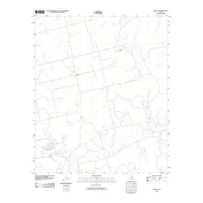 2010 Eskota2010 Print · USGSFisher County ranching and oil country come into focus during this 2010 survey. Researchers can trace the local road network connecting Palava and Tecific, or locate landmarks like the Newman Oil Field and Headrick Lake.
 - 2010 Map of Busby, 2010 Print
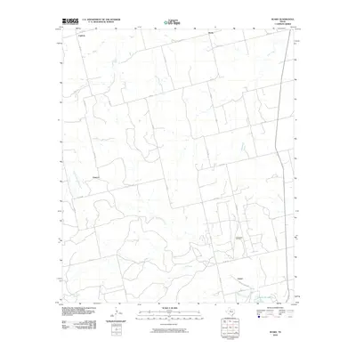 2010 Busby2010 Print · USGSNolan County ranching and energy infrastructure are well-documented in the early twenty-first century. Researchers can trace the layout of the Sweetwater Oil Field or locate legacy sites like Orient, Capitola, and Ben Jones Spring.
 - 2010 Map of Poke Mountain, 2010 Print
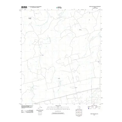 2010 Poke Mountain2010 Print · USGSStonewall County ranch lands and river crossings are captured here in the early twenty-first century. Researchers can locate Mount Zion Cemetery and trace the winding Double Mountain Fork Brazos River past Red Bluff Crossing.
 - 2010 Map of Raven Creek South, 2010 Print
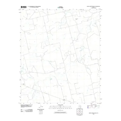 2010 Raven Creek South2010 Print · USGSFisher County ranching and energy production are in focus during the early 2000s in this West Texas survey. Local researchers can trace the roads around Eskota or locate industrial landmarks like the Raven Creek Oil Field and the White Flat Gas Plant.
 - 2010 Map of Longworth, 2010 Print
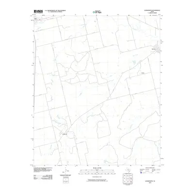 2010 Longworth2010 Print · USGSFisher County agricultural life in the early twenty-first century is centered on the small rural hubs of Longworth and Sylvester. Local historians and genealogists can trace family connections at Sylvester Cemetery and map the natural landscape along the Clear Fork and Plum Creek.
 - 2010 Map of Rotan, 2010 Print
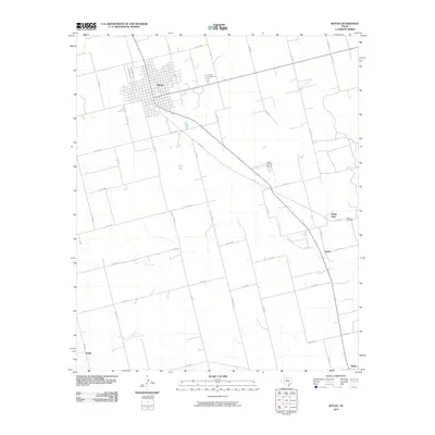 2010 Rotan2010 Print · USGSFisher County at the end of the first decade of the 21st century reveals a landscape of enduring rural settlements and agricultural corridors. Genealogists and historians can trace the foundations of Rotan, North Roby, and Sardis, along with quiet local landmarks like Fisher Cemetery.
 - 2012 Map of Royston, 2012 Print
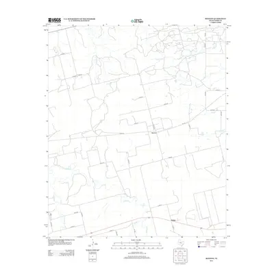 2012 Royston2012 Print · USGSFisher County ranching and farming lands are documented here in the early twenty-first century. Genealogists and local researchers can locate Roby Cem and trace the drainage patterns of Clear Fork and California Cr near the settlement of Royston.
 - 2012 Map of Poke Mountain, 2012 Print
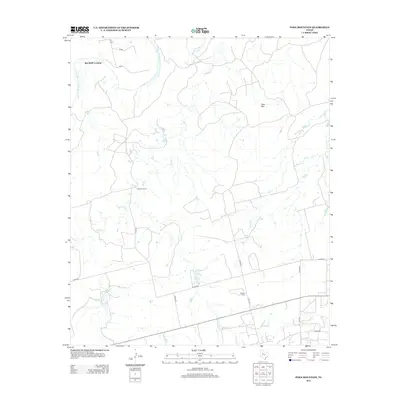 2012 Poke Mountain2012 Print · USGSThe ranchlands of Stonewall County are captured here in the early twenty-first century, centered on the river-cut breaks of West Texas. Genealogists and local historians can locate the Mt Zion Cem and trace the historic Red Bluff Crossing near Poke Mtn.
 - 2012 Map of Tige Canyon, 2012 Print
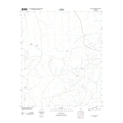 2012 Tige Canyon2012 Print · USGSStonewall County's rugged canyonlands and river breaks are captured in detail during the early twenty-first century. Researchers can trace the industrial footprint of the Rough Draw Oil Field and the winding course of the Double Mountain Fork Brazos River through Tige Canyon.
 - 2012 Map of Bernecker, 2012 Print
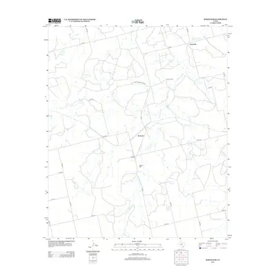 2012 Bernecker2012 Print · USGSFisher County ranching and rural settlement are captured here in the early 21st century. Genealogists can trace family heritage at Round Mtn Cem and follow the local road networks connecting Claytonville and Eighteen Ranch.
 - 2012 Map of Inadale, 2012 Print
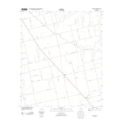 2012 Inadale2012 Print · USGSThe ranchlands of Scurry County are documented here in the early twenty-first century, showing the enduring grid of West Texas road and rail. Family historians can locate specific sites like Pyron Cem, Lone Wolf Cem, and the siding at Pyron Siding.
Showing maps 1-25 of 100
Top cities of Fisher County
Frequently asked questions
- What are the different types of historical maps available for Fisher County?
- What is the oldest map of Fisher County?
- Where can I purchase historical maps of Fisher County for my home or office?
- Where can I download high-res historical maps of Fisher County?
- Are there historical topographic maps available for Fisher County?
- Is there historical aerial imagery available for Fisher County?
- Where are historical maps of Fisher County sourced from?