2020s Maps of Floyd County, Texas
Explore 25 historic maps of Floyd County from the 2020s. These maps offer a rare glimpse into what life looked like during the 2020s — showing old roads, neighborhoods, homes, and landmarks that have changed or disappeared over time.
Whether you're researching your family's past, planning a metal detecting trip, or studying how Floyd County's landscape evolved across the 2020s, these high-resolution maps are a powerful tool for exploring the history of this region.
- Focus on a specific era: All maps on this page are from the 2020s, giving you a focused view of this time period.
- See what’s changed: Compare century-old streets, trails, and buildings to today's modern landscape using overlays and satellite layers.
- Research with precision: Use these maps for genealogy, historical research, land use analysis, or educational projects.
- View, download, or print: Maps are fully viewable online in high resolution, and can be downloaded or printed for your own records.
Start exploring Floyd County's history through authentic maps from the 2020s. This is your window into the past.
Floyd County, TX maps
(25)- 2022 Map of Boothe, 2022 Print
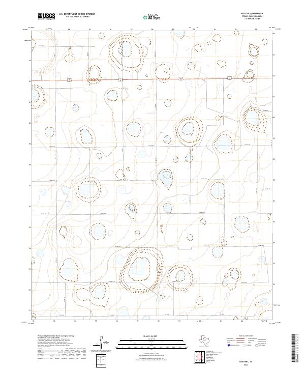 2022 Boothe2022 Print · USGSFloyd County's rural High Plains are captured here in the early twenty-first century, showcasing a landscape of vast agricultural sections and ephemeral playa lakes. Genealogists and local historians can trace the precise road grid through routes like US 62/70 and FM 602 or locate specific family landholdings along CO RD 300 and CO RD 241.
 - 2022 Map of Plainview SE, 2022 Print
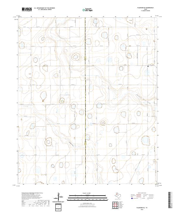 2022 Plainview SE2022 Print · USGSThe high plains of the Texas Panhandle are documented here during the early twenty-first century, showcasing the intersection of Hale and Floyd counties. Genealogists and local researchers can locate Trick Cem and trace the paths of Running Water Draw and Callahan Draw.
 - 2022 Map of Barwise, 2022 Print
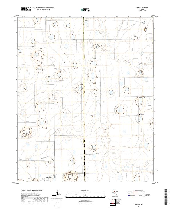 2022 Barwise2022 Print · USGSThe Hale and Floyd county line comes alive in this 2022 survey, showing the deep agricultural roots of the Texas High Plains. Genealogists and researchers can locate the Carrs Chapel Cem and trace the paths of Callahan Draw and the community of Petersburg.
 - 2022 Map of Wilson Creek, 2022 Print
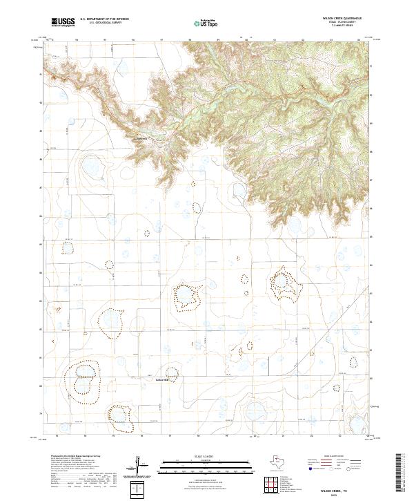 2022 Wilson Creek2022 Print · USGSNorthern Floyd County's rugged escarpment and agricultural plateau meet in this 2022 study. Genealogists and local historians can trace the rural settlement of Johnfarris and follow the descent of Quitaque Cr through the winding Quitaque Canyon Trl.
 - 2022 Map of Floydada SE, 2022 Print
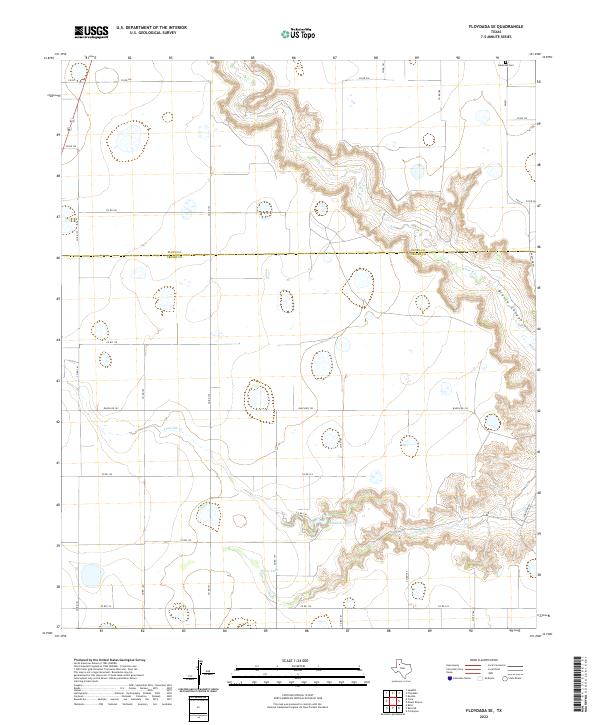 2022 Floydada SE2022 Print · USGSCrosby and Floyd Counties are seen here at the edge of the Llano Estacado during the early twenty-first century. Genealogists and researchers can trace the landscape around Lakeview Cem or follow the descent of White River into the depths of Blanco Canyon.
 - 2022 Map of Sterley, 2022 Print
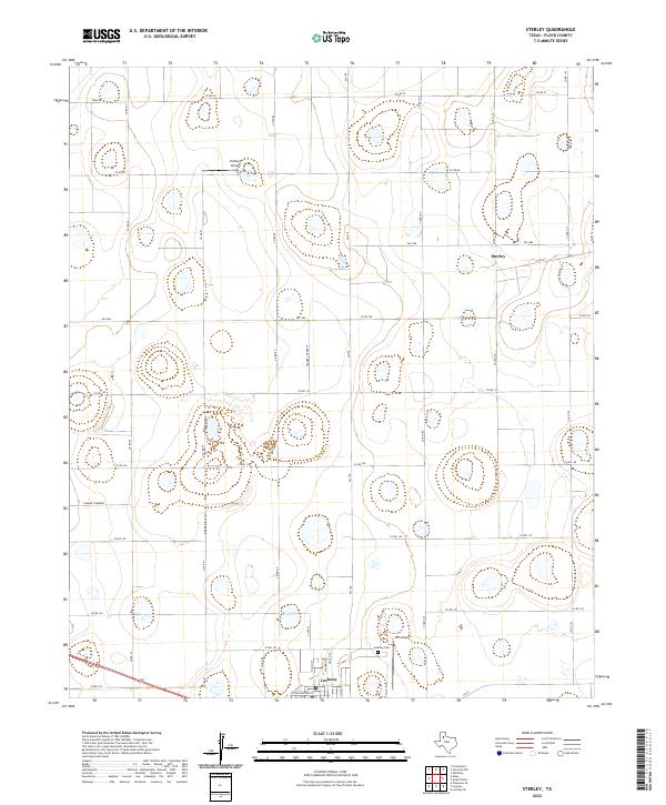 2022 Sterley2022 Print · USGSFloyd County at the start of the 2020s shows a landscape defined by industrial agriculture and small-town roots. Genealogists and local historians can trace the northern boundary of Lockney, locate the Lockney Cem, and find rural landing strips like Outback Airport.
 - 2022 Map of South Plains, 2022 Print
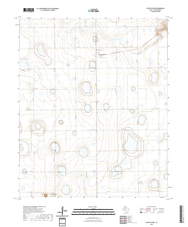 2022 South Plains2022 Print · USGSThe Texas Panhandle's agricultural heartland and Caprock breaks are on full display in this modern survey of Floyd County. Genealogists and local historians can trace the rural road network surrounding South Plains, follow the course of Quitaque Cr, or explore the path of the Quitaque Canyon Trl.
 - 2022 Map of Silverton SW, 2022 Print
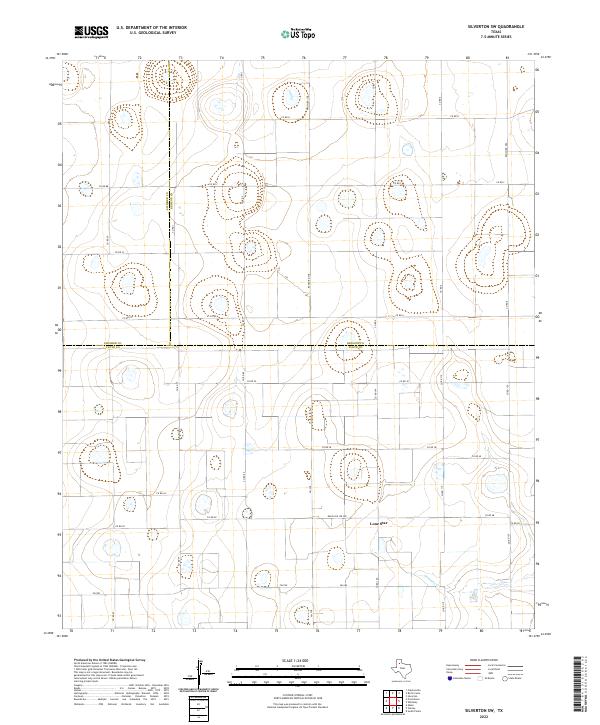 2022 Silverton SW2022 Print · USGSThe High Plains of Floyd and Briscoe counties are captured here in the early twenty-first century, showing a landscape of playa lakes and deep agricultural roots. Researchers can trace the tri-county boundary lines near the settlement of Lone Star and along the winding path of Quitaque Cr.
 - 2022 Map of Petersburg, 2022 Print
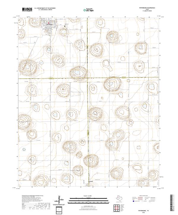 2022 Petersburg2022 Print · USGSThe High Plains of West Texas are captured here in the early twenty-first century, showing the intersection of four counties. Genealogists and local historians can trace the town of Petersburg, the settlement at Estacado, and the nearby Petersburg Cem.
 - 2022 Map of Whiteley, 2022 Print
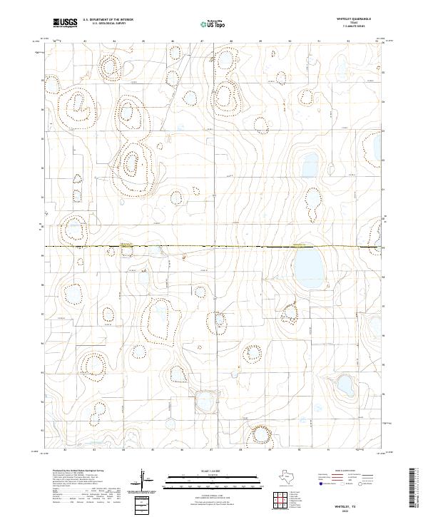 2022 Whiteley2022 Print · USGSTexas Panhandle ranchland and farms are shown at the Briscoe and Floyd County line in the early 2020s. Researchers can trace local drainage patterns into Quitaque Cr and follow the rural road network including FM 689 and CO RD 30.
 - 2022 Map of Aiken, 2022 Print
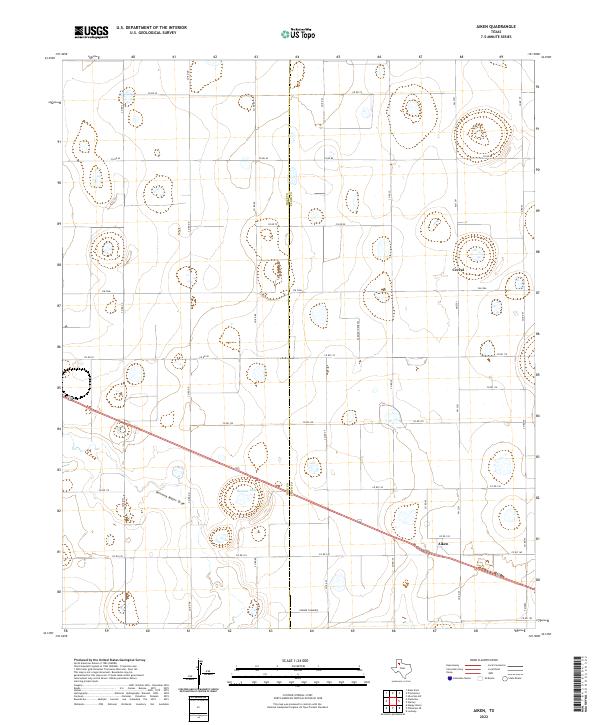 2022 Aiken2022 Print · USGSSettlements like Aiken and Cereal define the High Plains agricultural landscape along the Hale and Floyd county line during the early twenty-first century. Genealogists and historians can trace local farm-to-market routes and landscape features like Duncan Lake and Farmer Turnrow.
 - 2022 Map of Wake, 2022 Print
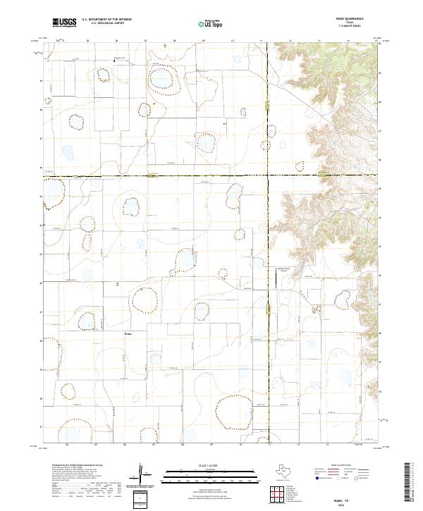 2022 Wake2022 Print · USGSThis High Plains landscape near the edge of the Caprock shows the agricultural layout of Crosby County and its neighbors in the early 2020s. Genealogists and local historians can locate Wake and Antelope Cem, or trace the rugged draws of Rustler Cr.
 - 2022 Map of Lockney, 2022 Print
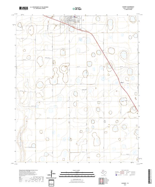 2022 Lockney2022 Print · USGSTexas High Plains agriculture and the town of Lockney take center stage in this recent topographical study. Genealogists and local historians can trace rural property lines and landmarks like Muncy, Running Water Draw, and the many Sandhill features.
 - 2022 Map of Floydada, 2022 Print
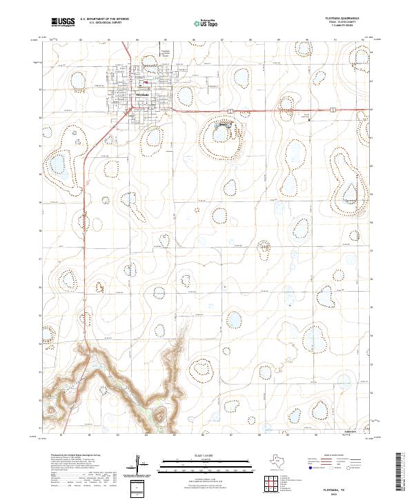 2022 Floydada2022 Print · USGSThe High Plains landscape near Floydada is documented here during the early twenty-first century. Researchers can trace the town's growth around the Floyd County Courthouse or locate the dramatic breaks of Blanco Canyon and the White River.
 - 2022 Map of Dougherty, 2022 Print
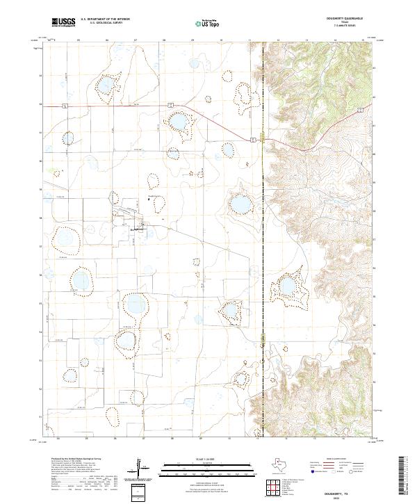 2022 Dougherty2022 Print · USGSDougherty and the surrounding High Plains farmland are captured here just as the landscape crosses the county line into the rugged Caprock breaks. Researchers can trace local lineage at the Dougherty Cem or follow the paths of Mott Cr and Dutchman Cr.
 - 2022 Map of Dick Moore Canyon, 2022 Print
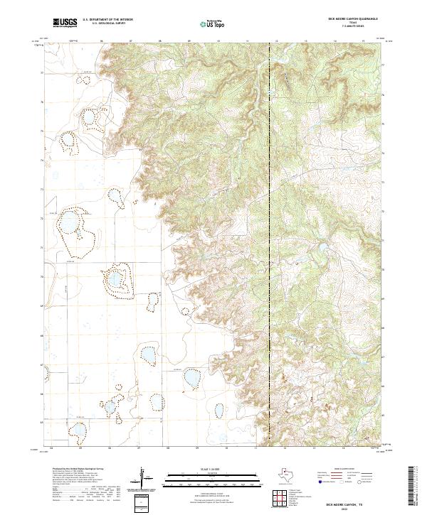 2022 Dick Moore Canyon2022 Print · USGSThe ranchlands along the Floyd and Motley county line are captured here in the early twenty-first century. Researchers can trace the rugged drainage of Dick Moore Canyon and locate significant water sources like Miller Springs and Mott Camp Springs.
 - 2022 Map of Edgemon Lake, 2022 Print
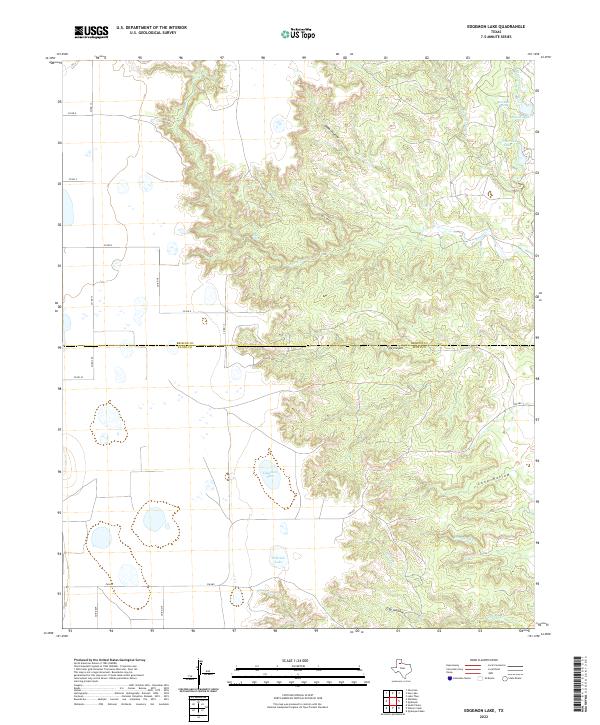 2022 Edgemon Lake2022 Print · USGSThe Texas Panhandle's Caprock country is shown here in the early 2020s, highlighting the dramatic drainages along the Briscoe and Floyd county line. Researchers can trace the water sources essential to local ranching, from Edgemon Lake to the secluded Red Rock Spring.
 - 2022 Map of Lockney SE, 2022 Print
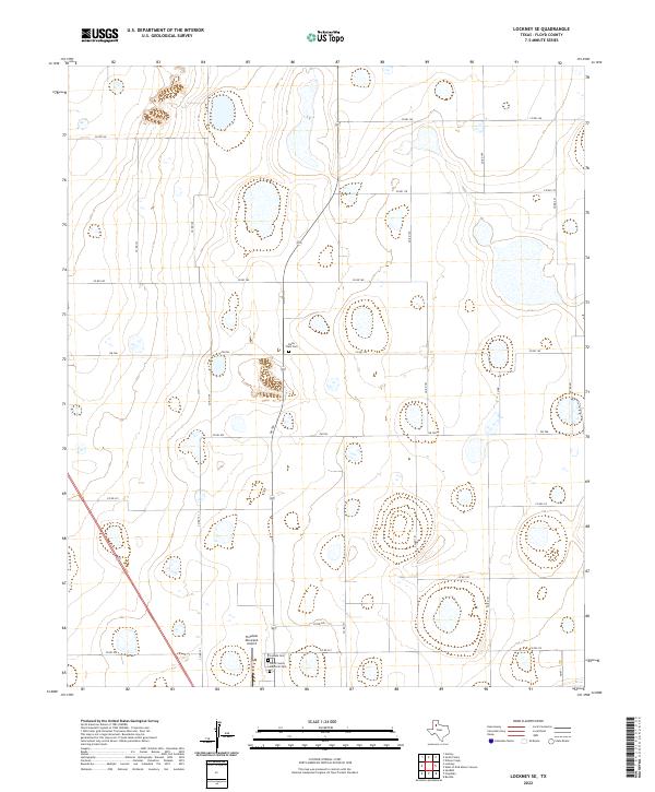 2022 Lockney SE2022 Print · USGSThis Floyd County landscape captures the structured agricultural character of the Texas Panhandle in the early twenty-first century. Genealogists and local historians can locate significant burial sites like Della Plain Cem and Floycada Cem among the vast grid of roads.
 - 2022 Map of Providence, 2022 Print
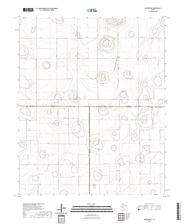 2022 Providence2022 Print · USGSThe High Plains at the meeting point of Swisher, Hale, and Floyd counties are shown here in modern detail. Researchers can trace the rural infrastructure of this ranching and farming hub through landmarks like Whitfield Airport and the seasonal path of Rock Draw.
 - 2022 Map of West of Dick Moore Canyon, 2022 Print
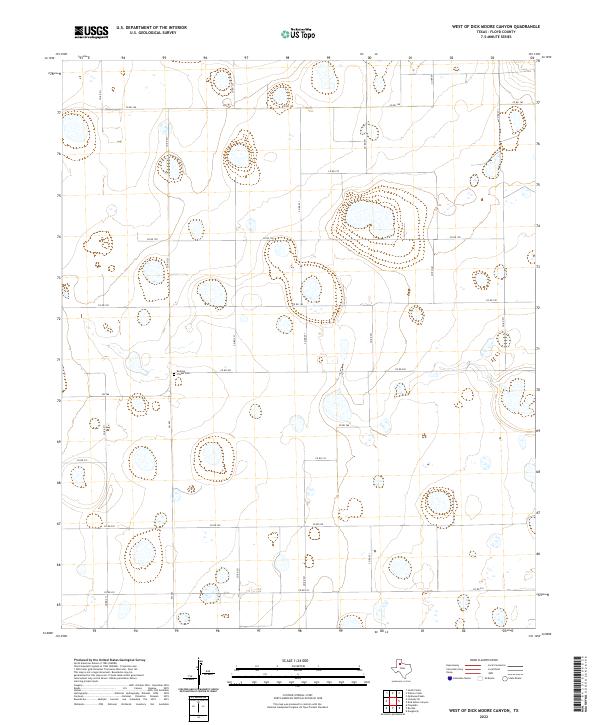 2022 West of Dick Moore Canyon2022 Print · USGSThe rural expanse of Floyd County is captured in this modern survey of the High Plains. Genealogists and local historians can locate the Rushing Chapel Cem and trace the network of secondary routes like FM 786 and CO RD 190.
 - 2022 Map of Sandhill, 2022 Print
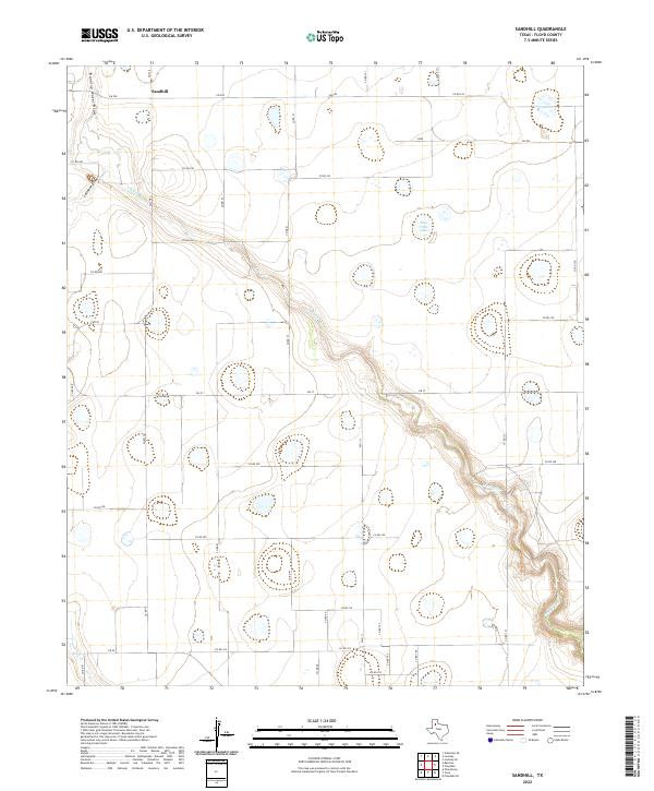 2022 Sandhill2022 Print · USGSThe agricultural plains of Floyd County are revealed in this contemporary survey, centered on the settlement of Sandhill. Researchers can trace the rugged course of the White River as it carves through the grid of Farm to Market roads like FM 378 and FM 784.
 - 2022 Map of Cone, 2022 Print
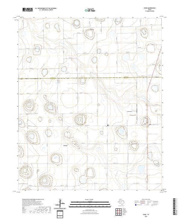 2022 Cone2022 Print · USGSCrosby and Floyd counties are captured in this modern survey of the Texas High Plains during a period of steady agricultural production. Genealogists and local historians can locate the Cone Cemetery and trace the rural layouts of Cone, Farmer, and McCoy.
 - 2022 Map of Quitaque, 2022 Print
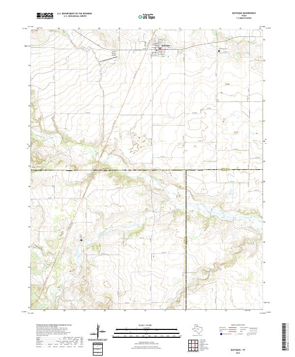 2022 Quitaque2022 Print · USGSThe community of Quitaque stands at the edge of the Caprock during the early 2020s, showing a landscape defined by ranching and deep canyons. Researchers can locate family burial sites at Resthaven Cem or trace the winding path of Los Lingos Cr and Quitaque Cr.
 - 2022 Map of Mount Blanco, 2022 Print
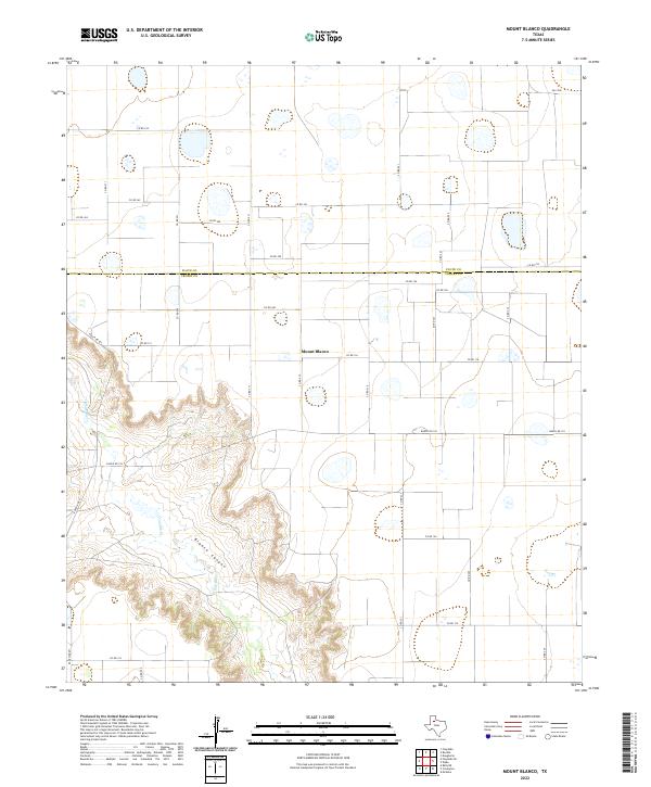 2022 Mount Blanco2022 Print · USGSThe High Plains of West Texas meet the sharp descent of Blanco Canyon in this recent study of the Llano Estacado. Genealogists and local historians can trace the rural settlement of Mount Blanco and the winding course of the White River.
 - 2022 Map of Quitaque Peaks, 2022 Print
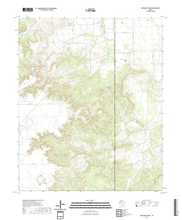 2022 Quitaque Peaks2022 Print · USGSThe Floyd and Motley County line crosses this rugged Texas landscape during the early twenty-first century. Genealogists and local historians can locate the Keeter Graves and trace the complex canyon systems of Quitaque Canyon and Hall Cr.
End of results
Showing maps 1-25 of 25
Top cities of Floyd County
Frequently asked questions
- What are the different types of historical maps available for Floyd County?
- What is the oldest map of Floyd County?
- Where can I purchase historical maps of Floyd County for my home or office?
- Where can I download high-res historical maps of Floyd County?
- Are there historical topographic maps available for Floyd County?
- Is there historical aerial imagery available for Floyd County?
- Where are historical maps of Floyd County sourced from?