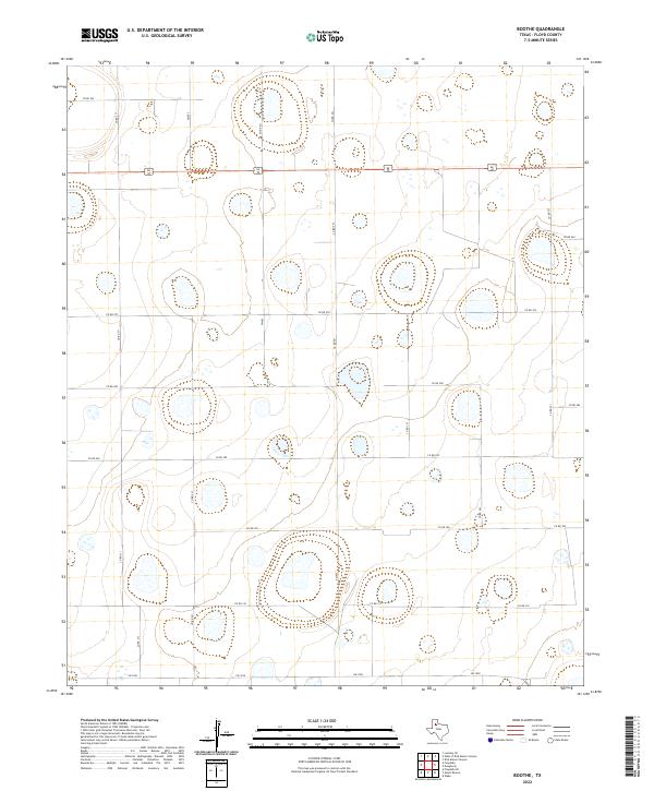
2022 Map of Boothe
USGS Topo · Published 2022About this map
The Llano Estacado's agricultural grid defines this portion of Floyd County, where the landscape is marked by a systematic network of section roads and numerous ephemeral playa lakes. Central to the area's connectivity is the dual highway Us 62/70, which bisects the northern half of the territory, serving as a primary corridor for travel across the High Plains. Secondary access is provided by several Farm to Market roads, including FM 602 running north-south and FM 1958 along the southern margin.
Find a feature on this map
19 named features on this map. Tap any name to fly to it.
Don’t see what you’re looking for? This feature index may not catch every label — zoom into the map to look around manually.
Map Details
Editions of this 2022 Boothe Map
This is the sole edition of this map. No revisions or reprints were ever made.
Other maps of this area

1954 · Lubbock
USGS Topo · 1:250,000

1954 · Plainview
USGS Topo · 1:250,000

1958 · Plainview
USGS Topo · 1:250,000

1965 · Lockney SE
USGS Topo · 1:24,000

1965 · Floydada
USGS Topo · 1:24,000

1965 · Floydada SE
USGS Topo · 1:24,000

1965 · Wake
USGS Topo · 1:24,000

1965 · Boothe
USGS Topo · 1:24,000

1966 · Lockney 4 SW
USGS Topo · 1:24,000

1966 · Mount Blanco
USGS Topo · 1:24,000