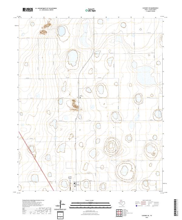
2022 Map of Lockney SE
USGS Topo · Published 2022About this map
High plains agriculture and isolated memorial sites characterize this portion of Floyd County. The landscape is defined by a strictly organized grid of rural routes, including Co Rd 180 and Co Rd 212, which facilitate movement between scattered farmsteads and regional hubs. At the intersection of Fm 786 and local county roads, the Della Plain Cem serves as a quiet landmark of the area's pioneer history. Further south, the infrastructure shifts toward the regional needs of the county seat's outskirts, where the Floydada Municipal Airport and the Floyd County Memorial Park sit adjacent to the Floycada Cem. This layout reflects a modern Texas Panhandle economy that balances large-scale farming with essential local services and historical preservation.
Find a feature on this map
24 named features on this map. Tap any name to fly to it.
Don’t see what you’re looking for? This feature index may not catch every label — zoom into the map to look around manually.
Map Details
Editions of this 2022 Lockney SE Map
This is the sole edition of this map. No revisions or reprints were ever made.
Other maps of this area

1954 · Lubbock
USGS Topo · 1:250,000

1954 · Plainview
USGS Topo · 1:250,000

1958 · Plainview
USGS Topo · 1:250,000

1965 · Lockney SE
USGS Topo · 1:24,000

1965 · Floydada
USGS Topo · 1:24,000

1965 · Lockney
USGS Topo · 1:24,000

1965 · Boothe
USGS Topo · 1:24,000

1965 · Sandhill
USGS Topo · 1:24,000

1966 · Sterley
USGS Topo · 1:24,000

1966 · South Plains
USGS Topo · 1:24,000