2000s (21st Century) Maps of Floyd County, Texas
Explore 125 historic maps of Floyd County from the 2000s (21st Century). These maps offer a rare glimpse into what life looked like during the 2000s — showing old roads, neighborhoods, homes, and landmarks that have changed or disappeared over time.
Whether you're researching your family's past, planning a metal detecting trip, or studying how Floyd County's landscape evolved across the 2000s, these high-resolution maps are a powerful tool for exploring the history of this region.
- Focus on a specific era: All maps on this page are from the 2000s, giving you a focused view of this time period.
- See what’s changed: Compare century-old streets, trails, and buildings to today's modern landscape using overlays and satellite layers.
- Research with precision: Use these maps for genealogy, historical research, land use analysis, or educational projects.
- View, download, or print: Maps are fully viewable online in high resolution, and can be downloaded or printed for your own records.
Start exploring Floyd County's history through authentic maps from the 2000s. This is your window into the past.
Floyd County, TX maps
(125)- 2010 Map of Mount Blanco, 2010 Print
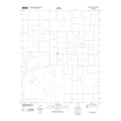 2010 Mount Blanco2010 Print · USGSThe Texas Panhandle ranching community of Mount Blanco is captured here during the first decade of the new millennium. Researchers can trace the winding course of the White River and Crawfish Creek, or locate local landmarks like the Meadow Windmill.
 - 2010 Map of Wilson Creek, 2010 Print
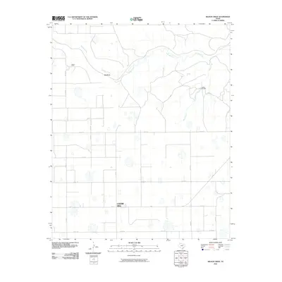 2010 Wilson Creek2010 Print · USGSFloyd County at the start of the 2010s shows a landscape of expansive High Plains agriculture and creek-cut breaks. Researchers can trace the rural layout of Cedar Hill and find landmarks like Johnfarris and the Cogdell Lake Dam.
 - 2010 Map of West of Dick Moore Canyon, 2010 Print
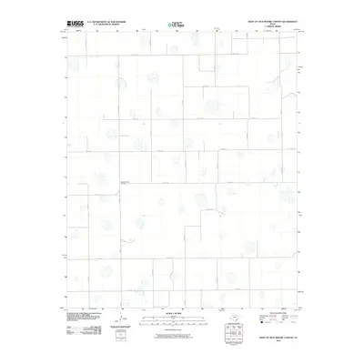 2010 West of Dick Moore Canyon2010 Print · USGSFloyd County, Texas, is mapped here in the early twenty-first century, showcasing a landscape defined by agricultural road grids and natural playas. Genealogists and local historians can locate the Rushing Chapel Cemetery at the intersection of FM 786 and CO RD 200.
 - 2010 Map of Quitaque Peaks, 2010 Print
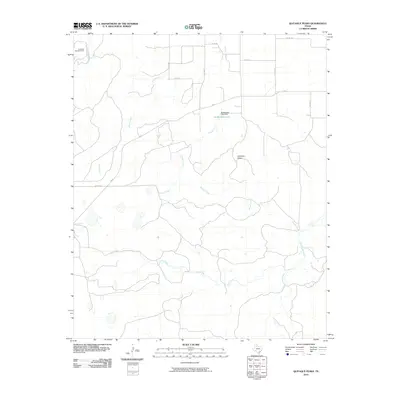 2010 Quitaque Peaks2010 Print · USGSMotley County, Texas, is captured here in the early twenty-first century, showing the rugged breaks and canyons of the Caprock Escarpment. Researchers can trace the path of the Quitaque Railway Tunnel and locate landmarks like Quitaque Peaks and McWilliams Lake.
 - 2010 Map of South Plains, 2010 Print
 2010 South Plains2010 Print · USGSThe Texas South Plains are captured here in the early twenty-first century, showing a landscape dedicated to large-scale agriculture. Genealogists and local historians can locate the South Plains township and the historic Cedar Hill Cotton Gin near Quitaque Creek.
 - 2010 Map of Boothe, 2010 Print
 2010 Boothe2010 Print · USGSThe rural High Plains of Floyd County are captured here in the early twenty-first century, centered on the small settlement of Boothe. Genealogists and land researchers can trace the agricultural grid and scattered playa lakes along FM 602 and US Highway 62/70.
 - 2010 Map of Dick Moore Canyon, 2010 Print
 2010 Dick Moore Canyon2010 Print · USGSMotley County's ranching landscape is captured here in the early twenty-first century, showing the essential water infrastructure of the Texas Panhandle. Genealogists and local historians can locate specific family-named landmarks like Mott Camp, Miller Springs, and Waybourn Windmill.
 - 2010 Map of Wake, 2010 Print
 2010 Wake2010 Print · USGSCrosby County agricultural lands are captured here during a period of modern ranching and farming in the early twenty-first century. Researchers can locate family sites near Wake or trace local history at Antelope Cemetery and the Gardner Farm Airport.
 - 2010 Map of Dougherty, 2010 Print
 2010 Dougherty2010 Print · USGSThe community of Dougherty stands at the heart of this Floyd County landscape during the early 2000s. Genealogists and local historians can trace the rural road network and drainage patterns around Mott Creek, Wolf Creek, and FM 28.
 - 2010 Map of Silverton SW, 2010 Print
 2010 Silverton SW2010 Print · USGSLone Star and the surrounding Floyd County ranchlands are captured here in the early 21st century. Researchers can trace the rural road network and identify local landmarks like Sherman Airport, the community of Lone Star, and the path of Quitaque Creek.
 - 2010 Map of Lockney SE, 2010 Print
 2010 Lockney SE2010 Print · USGSFloyd County at the start of the decade reveals a highly organized agricultural landscape crisscrossed by a precise grid of rural roads. Researchers can locate family landmarks at the Floydada Cemetery or trace aviation history at the Floydada Municipal Airport.
 - 2010 Map of Sandhill, 2010 Print
 2010 Sandhill2010 Print · USGSThe high plains of Floyd County are captured here in the early twenty-first century, showing a landscape of precise road grids and vital water infrastructure. Trace the paths of Running Water Draw and White River alongside landmarks like Bois d'Arc Windmill.
 - 2010 Map of Whiteley, 2010 Print
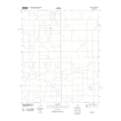 2010 Whiteley2010 Print · USGSThe Briscoe County high plains are captured here in the early twenty-first century, showcasing a landscape of vast agricultural sections. Genealogists and local historians can trace rural property access and landmarks like Whitney or follow the path of Quitaque Creek.
 - 2010 Map of Cone, 2010 Print
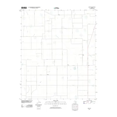 2010 Cone2010 Print · USGSThe high plains of Floyd County are documented here in the early twenty-first century, showing an established agricultural grid. Genealogists and local historians can trace the rural communities of McCoy and Farmer or locate the Cone Cemetery.
 - 2010 Map of Sterley, 2010 Print
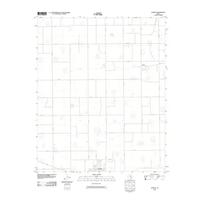 2010 Sterley2010 Print · USGSThe High Plains of Floyd County are captured here in the early twenty-first century, showing the structured agricultural heart of West Texas. Researchers can trace the rural grid between the town of Lockney and the northern settlement of Sterley via routes like Fm 378 and Co Rd 120.
 - 2010 Map of Providence, 2010 Print
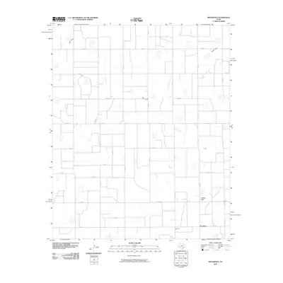 2010 Providence2010 Print · USGSCotton gins and farm-to-market roads define this Floyd County landscape at the start of the twenty-first century. Researchers can trace local industry at Crume Gin and Providence Gin or follow the path of Rock Draw across the High Plains.
 - 2010 Map of Petersburg, 2010 Print
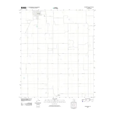 2010 Petersburg2010 Print · USGSThe Hale County plains are captured here in the early twenty-first century, showing a landscape defined by industrial-scale agriculture and long-standing rural communities. Genealogists and local historians can trace the developments of Petersburg and Estacado, while following the grid of roads like FM 789 and Ranch Rd 1527.
 - 2010 Map of Barwise, 2010 Print
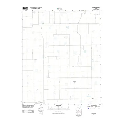 2010 Barwise2010 Print · USGSPetersburg and the surrounding Hale County farmland are captured in the early twenty-first century as a network of rural communities. Genealogists and local historians can trace the grid of country roads to find Barwise, Harmony, and Allmon near Crawfish Creek.
 - 2010 Map of Plainview SE, 2010 Print
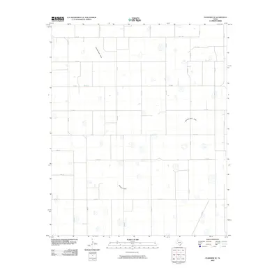 2010 Plainview SE2010 Print · USGSThe Texas Panhandle at the start of the 2010s is defined here by a precision grid of rural roads and seasonal watercourses. Genealogists and local historians can trace family land along Running Water Draw and the farm-to-market routes of FM 789 and FM 784.
 - 2010 Map of Floydada SE, 2010 Print
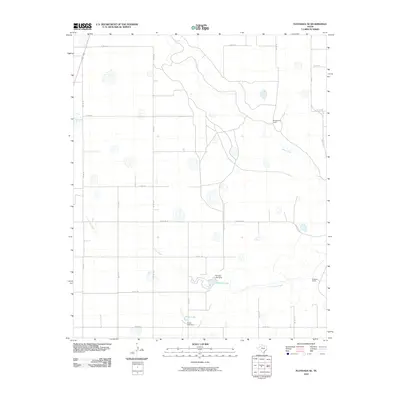 2010 Floydada SE2010 Print · USGSCrosby County at the start of the twenty-first century remains a landscape of sprawling cattle operations and managed water resources. Researchers can trace the layout of Montgomery Ranch or locate the dams at Hancock Lake and Snow Lake.
 - 2010 Map of Quitaque, 2010 Print
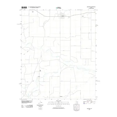 2010 Quitaque2010 Print · USGSBriscoe County's High Plains landscape is captured here in the early twenty-first century, centered on the town of Quitaque. Researchers can trace the layout of rural outposts like Gasoline and find family sites at Rest Haven Cemetery.
 - 2010 Map of Edgemon Lake, 2010 Print
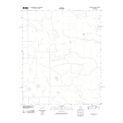 2010 Edgemon Lake2010 Print · USGSBriscoe County ranch lands and seasonal waterways are captured here at the start of the 2010s. Researchers can trace the drainage of Los Lingos Creek past Lingos Falls and locate remote natural features like Red Rock Spring and Dark Canyon.
 - 2010 Map of Lockney, 2010 Print
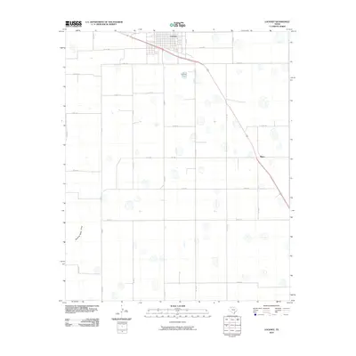 2010 Lockney2010 Print · USGSLockney and its surrounding High Plains ranching and farming landscape are captured in the early twenty-first century. Genealogists and local historians can trace the grid of county roads and key sites like Muncy or the ephemeral Running Water Draw.
 - 2010 Map of Floydada, 2010 Print
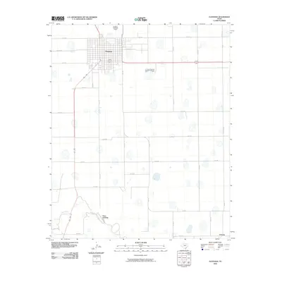 2010 Floydada2010 Print · USGSFloydada and the surrounding Texas plains are captured here in the early twenty-first century as the local agricultural and transport networks matured. Researchers can trace the layout of the town's streets or locate the Plains Assembly and Lakeview along the course of the White River.
 - 2010 Map of Aiken, 2010 Print
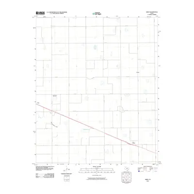 2010 Aiken2010 Print · USGSTexas High Plains farming communities are documented here in the early 2000s, showing a landscape defined by cotton and grain production. Researchers can trace rural industrial sites like the East Mound Cotton Gin and small settlements including Aiken, Cereal, and Lider.
Showing maps 1-25 of 125
Top cities of Floyd County
Frequently asked questions
- What are the different types of historical maps available for Floyd County?
- What is the oldest map of Floyd County?
- Where can I purchase historical maps of Floyd County for my home or office?
- Where can I download high-res historical maps of Floyd County?
- Are there historical topographic maps available for Floyd County?
- Is there historical aerial imagery available for Floyd County?
- Where are historical maps of Floyd County sourced from?