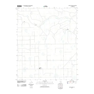
2010 Map of Wilson Creek
USGS Topo · Published 2010About this map
Cedar Hill anchors the southern portion of this High Plains landscape, situated along FM 97 in an area defined by its agricultural grid and drainage basins. The map illustrates a transition from the structured farm-to-market roads of the Llano Estacado into the broken terrain of the Rolling Plains to the north. Quitaque Creek and Wilson Creek meander across the upper half of the sheet, where the landform changes from flat cropland to more varied relief.
Find a feature on this map
21 named features on this map. Tap any name to fly to it.
Don’t see what you’re looking for? This feature index may not catch every label — zoom into the map to look around manually.
Map Details
Editions of this 2010 Wilson Creek Map
This is the sole edition of this map. No revisions or reprints were ever made.
Other maps of this area

1954 · Plainview
USGS Topo · 1:250,000

1958 · Plainview
USGS Topo · 1:250,000

1965 · Whiteley
USGS Topo · 1:24,000

1965 · Lockney SE
USGS Topo · 1:24,000

1966 · South Plains
USGS Topo · 1:24,000

1966 · Lockney 4 SW
USGS Topo · 1:24,000

1967 · Quitaque
USGS Topo · 1:24,000

1967 · Quitaque Peaks
USGS Topo · 1:24,000

1967 · Dick Moore Canyon
USGS Topo · 1:24,000

1967 · Edgemon Lake
USGS Topo · 1:24,000