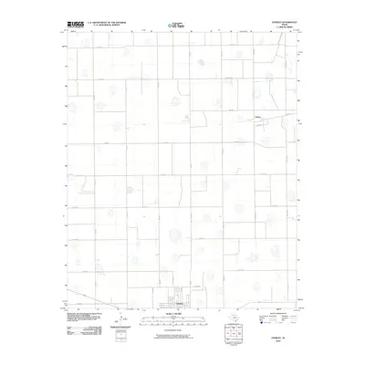
2010 Map of Sterley
USGS Topo · Published 2010About this map
Lockney occupies the southern edge of this West Texas landscape, serving as a primary hub within a vast, organized grid of agricultural roads. The town's layout transitions abruptly into the surrounding countryside, where a network of county roads like Co Rd 150 and Co Rd 140 define the rural topography. To the north, the settlement of Sterley sits at a crossroads, representing a smaller pocket of habitation amidst the expansive fields of Floyd County.
Find a feature on this map
24 named features on this map. Tap any name to fly to it.
Don’t see what you’re looking for? This feature index may not catch every label — zoom into the map to look around manually.
Map Details
Editions of this 2010 Sterley Map
This is the sole edition of this map. No revisions or reprints were ever made.
Other maps of this area

1954 · Plainview
USGS Topo · 1:250,000

1958 · Plainview
USGS Topo · 1:250,000

1965 · Whiteley
USGS Topo · 1:24,000

1965 · Lockney SE
USGS Topo · 1:24,000

1965 · Silverton SW
USGS Topo · 1:24,000

1965 · Lockney
USGS Topo · 1:24,000

1966 · Sterley
USGS Topo · 1:24,000

1966 · South Plains
USGS Topo · 1:24,000

1968 · Plainview SE
USGS Topo · 1:24,000

1968 · Aiken
USGS Topo · 1:24,000