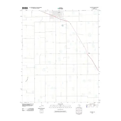
2010 Map of Lockney
USGS Topo · Published 2010About this map
Lockney serves as the primary hub of this Llano Estacado landscape, where a precise grid of rural roads and state highways connects the high plains. The town's layout, centered around streets like E 8th St, transitions sharply into a vast agricultural network defined by long, straight sections such as Sandhill and Fm 786. This 2010 survey illustrates a region shaped by modern irrigation and transport, with the intermittent path of Running Water Draw cutting across the southwestern quadrant. Smaller locales like Muncy sit along the primary transit corridors, marking points in a rural economy where the intersection of county roads, such as Co Rd 180 and Co Rd 111, form the backbone of the local geography.
Find a feature on this map
28 named features on this map. Tap any name to fly to it.
Don’t see what you’re looking for? This feature index may not catch every label — zoom into the map to look around manually.
Map Details
Editions of this 2010 Lockney Map
This is the sole edition of this map. No revisions or reprints were ever made.
Other maps of this area

1954 · Lubbock
USGS Topo · 1:250,000

1954 · Plainview
USGS Topo · 1:250,000

1958 · Plainview
USGS Topo · 1:250,000

1965 · Lockney SE
USGS Topo · 1:24,000

1965 · Floydada
USGS Topo · 1:24,000

1965 · Lockney
USGS Topo · 1:24,000

1965 · Sandhill
USGS Topo · 1:24,000

1966 · Sterley
USGS Topo · 1:24,000

1966 · South Plains
USGS Topo · 1:24,000

1968 · Barwise
USGS Topo · 1:24,000