2010s Maps of Fort Bend County, Texas
Explore 92 historic maps of Fort Bend County from the 2010s. These maps offer a rare glimpse into what life looked like during the 2010s — showing old roads, neighborhoods, homes, and landmarks that have changed or disappeared over time.
Whether you're researching your family's past, planning a metal detecting trip, or studying how Fort Bend County's landscape evolved across the 2010s, these high-resolution maps are a powerful tool for exploring the history of this region.
- Focus on a specific era: All maps on this page are from the 2010s, giving you a focused view of this time period.
- See what’s changed: Compare century-old streets, trails, and buildings to today's modern landscape using overlays and satellite layers.
- Research with precision: Use these maps for genealogy, historical research, land use analysis, or educational projects.
- View, download, or print: Maps are fully viewable online in high resolution, and can be downloaded or printed for your own records.
Start exploring Fort Bend County's history through authentic maps from the 2010s. This is your window into the past.
Fort Bend County, TX maps
(92)- 2010 Map of Hungerford, 2010 Print
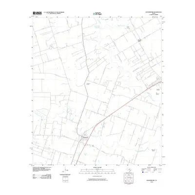 2010 Hungerford2010 Print · USGSThe coastal prairie near Hungerford and Powell Point is shown in detail during the early 2000s. Researchers can locate legacy family landmarks and burial sites like the Old Kendleton Cemetery, Blossom Prairie, and the Hungerford Oil Field.
 - 2010 Map of Brookshire, 2010 Print
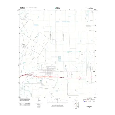 2010 Brookshire2010 Print · USGSBrookshire and the surrounding Texas prairie are shown here at a time when rural aviation and agricultural hubs defined the local economy. Researchers can find family landmarks like Wilpitz Cemetery and trace the small settlements of Cardiff, Johnsue, and Pattison.
 - 2010 Map of East Bernard, 2010 Print
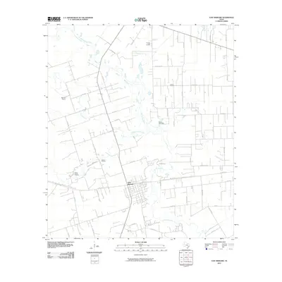 2010 East Bernard2010 Print · USGSTexas coastal prairie life near the turn of the millennium centers on the San Bernard River and its rural homesteads. Trace local family history through landmarks like Guardian Angel Cemetery, the National Cemetery, and the community at East Bernard.
 - 2010 Map of Juliff, 2010 Print
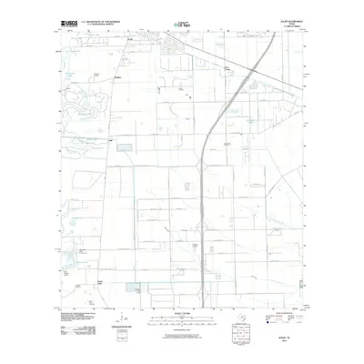 2010 Juliff2010 Print · USGSThe coastal prairies of Brazoria County are seen here in the early twenty-first century as suburban growth meets established rural industry. Researchers can trace family history at the Iowa Colony Cemetery or locate the historic Arcola Oil Field and Darrington State Prison Farm.
 - 2010 Map of Smithers Lake, 2010 Print
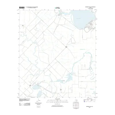 2010 Smithers Lake2010 Print · USGSFort Bend County’s coastal prairies are shown in detail during the early twenty-first century, featuring a blend of ranching land and modern water management. Researchers can trace the drainage of Big Creek or locate local landmarks like Whaley Corner and Long Point.
 - 2010 Map of Boling, 2010 Print
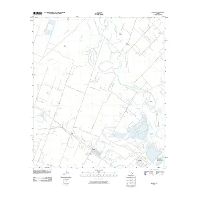 2010 Boling2010 Print · USGSWharton County at the start of the 2010s shows a landscape shaped by river bends and energy industry infrastructure. Researchers can trace historical family locations through Shiloh Cemetery, locate the Boling Oil Field, and follow the banks of the San Bernard River.
 - 2010 Map of Kendleton, 2010 Print
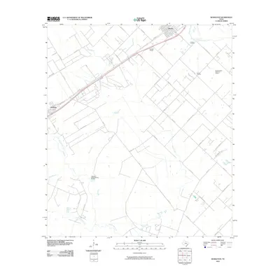 2010 Kendleton2010 Print · USGSFort Bend County's coastal prairie comes into focus in this 2010 survey of the Beasley and Kendleton area. Genealogists and local researchers can locate Friedens Cemetery and Modena Cemetery or trace the banks of the San Bernard River.
 - 2010 Map of Damon, 2010 Print
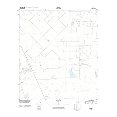 2010 Damon2010 Print · USGSDamon and the surrounding coastal prairie are shown in this 2010 survey during a period of active energy production and rural agriculture. Genealogists and researchers can trace the landscape of the Damon Mound Oil Field, Nash Dome, and small private airfields like Meyer Field.
 - 2010 Map of Missouri City, 2010 Print
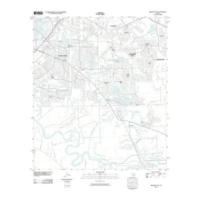 2010 Missouri City2010 Print · USGSMissouri City and Sugar Land were undergoing significant growth in the decade following the turn of the millennium. Researchers can trace family sites and local landmarks from Fifth Street and Dewalt to Trammels and the New Hope Cemetery.
 - 2010 Map of Thompsons, 2010 Print
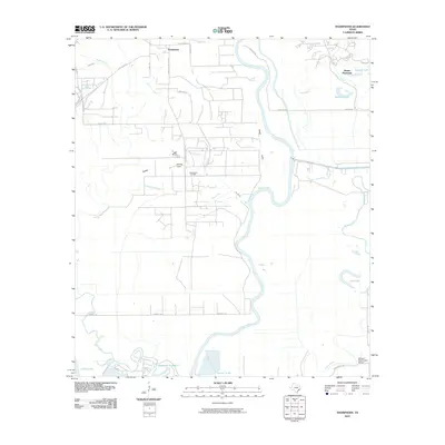 2010 Thompsons2010 Print · USGSFort Bend County's river-fed lowlands are captured here in the decade following the turn of the millennium. Genealogists and local historians can trace the area's development through landmarks like Booker T Washington School, Thompsons Oil Field, and Humble Camp.
 - 2010 Map of Richmond, 2010 Print
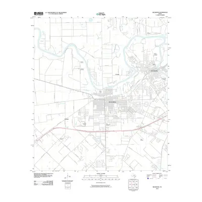 2010 Richmond2010 Print · USGSThe Brazos River landscape at the start of the 2010s shows the rapid integration of agricultural land into the residential fabrics of Richmond and Rosenberg. Researchers can trace local heritage through numerous sites like Morton Cemetery or find early aviation history at Lane Airpark.
 - 2010 Map of Sugar Land, 2010 Print
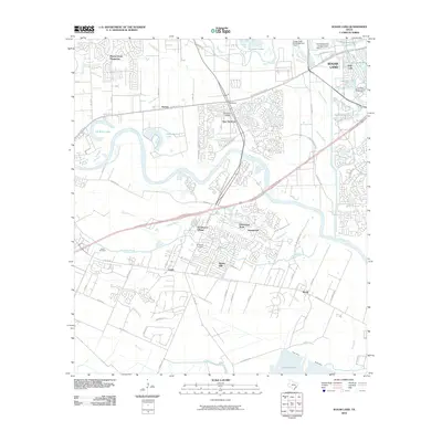 2010 Sugar Land2010 Print · USGSFort Bend County's rapid suburban growth meets its agricultural past in the first decade of the millennium. Genealogists and local historians can trace family landmarks at Jones Cemetery, the historic community of Booth, and Thompson Chapel.
 - 2010 Map of Alief, 2010 Print
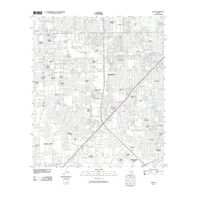 2010 Alief2010 Print · USGSSouthwest Houston and the Alief area appear in full suburban maturity during the early twenty-first century. Genealogists and local historians can trace burial records at Forest Park Cemetery and Riceville Cemetery or locate neighborhood origins in Sharpstown and Meadows Place.
 - 2010 Map of Otey, 2010 Print
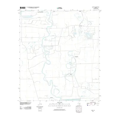 2010 Otey2010 Print · USGSBrazoria County is captured here in the early twenty-first century as a landscape defined by the winding meanders of the Brazos River. Researchers can locate old settlements like Orozimbo and Lochridge or trace the extensive grounds of the Ramsey State Prison Farm.
 - 2010 Map of Needville, 2010 Print
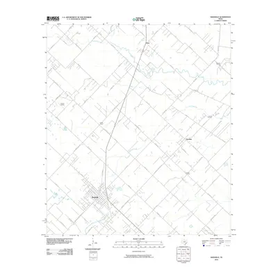 2010 Needville2010 Print · USGSFort Bend County in the early twenty-first century shows a landscape where rural tradition and oil industry meet. Trace family history at Concord Cemetery or study the legacy of the Big Creek Oil Field and the layout of Needville.
 - 2010 Map of Guy, 2010 Print
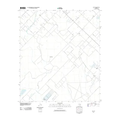 2010 Guy2010 Print · USGSFort Bend County's rural ranching and oil-producing landscape is detailed here in the years following the millennium. Researchers can locate family landmarks like the Guy Cemetery or trace the geography of the Damon Mound Oil Field and the San Bernard River.
 - 2010 Map of Almeda, 2010 Print
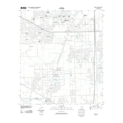 2010 Almeda2010 Print · USGSSouthern Houston and the neighboring Fresno area are documented here during a period of suburban expansion and industrial use. Researchers can locate specific sites like the Blue Ridge State Prison Farm, the Beth Jacob Cemetery, and the historic Arcola Junction.
 - 2010 Map of Orchard, 2010 Print
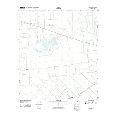 2010 Orchard2010 Print · USGSThe Texas coastal plain around Orchard is shown here in the early 2000s, where energy production meets rural agriculture. Researchers can trace the industrial Orchard Dome Oil and Gas Field, locate Orchard Cemetery, and follow the banks of the Brazos River.
 - 2010 Map of Wallis, 2010 Print
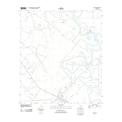 2010 Wallis2010 Print · USGSAustin County at the turn of the decade is defined by the winding Brazos River and the rural crossroads of Wallis. Researchers can locate several burial sites like Allens Cemetery and aviation landmarks such as Longbird Airport.
 - 2010 Map of Clodine, 2010 Print
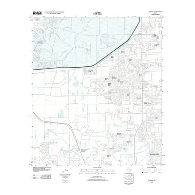 2010 Clodine2010 Print · USGSSuburban development meets essential flood control west of Houston in the early 2010s. Trace the expansion of neighborhoods like Mission Bend and Four Corners alongside historical landmarks such as the Harlem Prison Dam.
 - 2010 Map of Richmond NE, 2010 Print
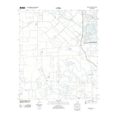 2010 Richmond NE2010 Print · USGSHouston’s western expansion is in full view on this 2010 map, capturing the area's mix of new subdivisions and historical ranching land. Genealogists and local historians can locate the Briscoe Cemetery, the settlement of Foster, and landmarks like the Fulshear Oil Field.
 - 2010 Map of Katy, 2010 Print
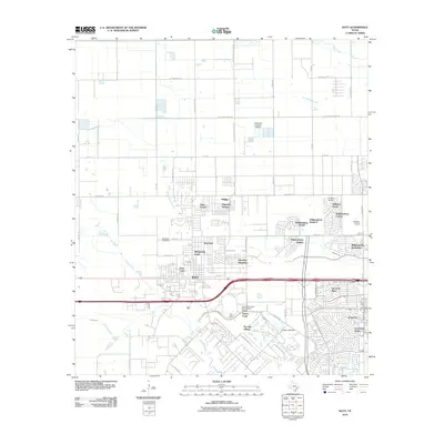 2010 Katy2010 Print · USGSGreater Katy was undergoing a period of rapid suburban maturation during the first decade of the millennium. Genealogists and researchers can trace the growth of neighborhoods like Pin Oak Village and Williamsburg Hamlet or locate the historic Magnolia Cemetery.
 - 2010 Map of Fulshear, 2010 Print
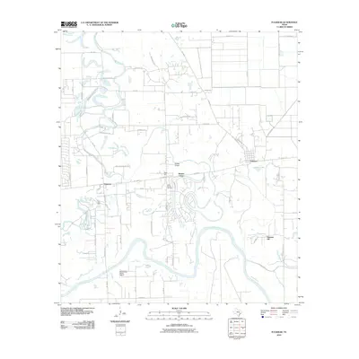 2010 Fulshear2010 Print · USGSFort Bend County's river-carved landscape is shown here during a decade of rapid growth between the river and the expanding prairie. Trace family connections at Little Prayer Cemetery or locate the rural foundations of Simonton and Fulshear.
 - 2013 Map of Damon, 2013 Print
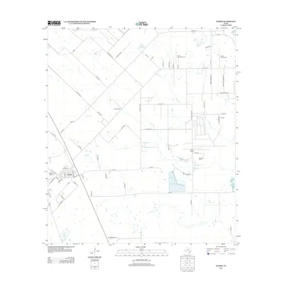 2013 Damon2013 Print · USGSBrazoria County’s geologic landmarks and rural industrial sites come into focus during this period of the early twenty-first century. Researchers can trace the layout of the Nash Dome Oil Field, identify private strips like H & S Airfield, and locate regional landmarks like Damon Mound.
 - 2013 Map of Wallis, 2013 Print
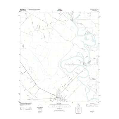 2013 Wallis2013 Print · USGSSurrounding the town of Wallis in the early twenty-first century, this Austin County landscape is defined by the winding Brazos River and rural aviation hubs. Researchers can trace family history at Hartville Cem and Wallis Cem or locate regional sites like El Pleasant and Gloster Aerodrome.
Showing maps 1-25 of 92
Top cities of Fort Bend County
- Sugar Land historical maps
- Missouri City historical maps
- Rosenberg historical maps
- Fresno historical maps
- Stafford historical maps
- Richmond historical maps
See more
Frequently asked questions
- What are the different types of historical maps available for Fort Bend County?
- What is the oldest map of Fort Bend County?
- Where can I purchase historical maps of Fort Bend County for my home or office?
- Where can I download high-res historical maps of Fort Bend County?
- Are there historical topographic maps available for Fort Bend County?
- Is there historical aerial imagery available for Fort Bend County?
- Where are historical maps of Fort Bend County sourced from?