2000s (21st Century) Maps of Fulshear, Texas
Explore 10 historic maps of Fulshear from the 2000s (21st Century). These maps offer a rare glimpse into what life looked like during the 2000s — showing old roads, neighborhoods, homes, and landmarks that have changed or disappeared over time.
Whether you're researching your family's past, planning a metal detecting trip, or studying how Fulshear's landscape evolved across the 2000s, these high-resolution maps are a powerful tool for exploring the history of this region.
- Focus on a specific era: All maps on this page are from the 2000s, giving you a focused view of this time period.
- See what’s changed: Compare century-old streets, trails, and buildings to today's modern landscape using overlays and satellite layers.
- Research with precision: Use these maps for genealogy, historical research, land use analysis, or educational projects.
- View, download, or print: Maps are fully viewable online in high resolution, and can be downloaded or printed for your own records.
Start exploring Fulshear's history through authentic maps from the 2000s. This is your window into the past.
Fulshear, TX maps
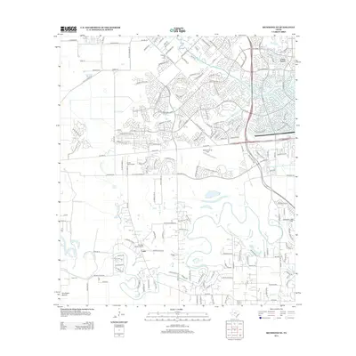
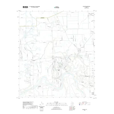
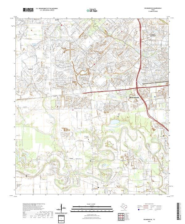
(10)- 2010 Map of Richmond NE, 2010 Print
 2010 Richmond NE2010 Print · USGSCovers Fulshear, including Houston, Katy, and other nearby areas
 - 2010 Map of Fulshear, 2010 Print
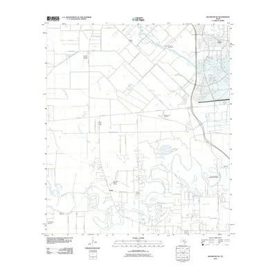
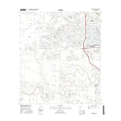
 2010 Fulshear2010 Print · USGSCovers Fulshear, including Simonton, Weston Lakes, and other nearby areas
 - 2013 Map of Fulshear, 2013 Print
 2013 Fulshear2013 Print · USGSCovers Fulshear, including Simonton, Weston Lakes, and other nearby areas
 - 2013 Map of Richmond NE, 2013 Print
 2013 Richmond NE2013 Print · USGSCovers Fulshear, including Houston, Katy, and other nearby areas
 - 2016 Map of Fulshear, 2016 Print
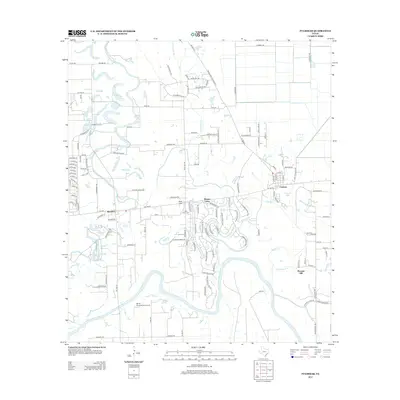
 2016 Fulshear2016 Print · USGSCovers Fulshear, including Simonton, Weston Lakes, and other nearby areas
 - 2016 Map of Richmond NE, 2016 Print
 2016 Richmond NE2016 Print · USGSCovers Fulshear, including Houston, Katy, and other nearby areas
 - 2019 Map of Fulshear, 2019 Print
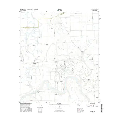
 2019 Fulshear2019 Print · USGSCovers Fulshear, including Simonton, Weston Lakes, and other nearby areas
 - 2019 Map of Richmond NE, 2019 Print
 2019 Richmond NE2019 Print · USGSCovers Fulshear, including Houston, Katy, and other nearby areas
 - 2022 Map of Fulshear, 2022 Print
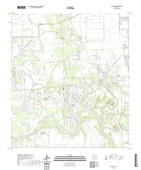 2022 Fulshear2022 Print · USGSFort Bend County near the Brazos River shows a landscape of modern growth and deep-rooted family history. Genealogists can trace local heritage through numerous sites like Fulshear Cem, Simonton Cem, and the Little Prayer Cem.
 - 2022 Map of Richmond NE, 2022 Print
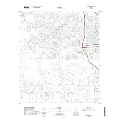
 2022 Richmond NE2022 Print · USGSFort Bend County at the peak of its modern expansion reveals the intersection of suburban growth and deep-rooted rural history. Trace old family landholdings near Foster and numerous burial sites like Gaston-White Cem and Briscoe Cem.
End of results
Showing maps 1-10 of 10
Top cities near Fulshear
- Houston historical maps
- Sugar Land historical maps
- Rosenberg historical maps
- Katy historical maps
- Richmond historical maps
- Sealy historical maps
See more
Top neighborhoods of Fulshear
- Pleasant Hill historical maps
- Cross Creek Ranch historical maps
- Lakeside historical maps
- The Heights historical maps
- Creek Cove historical maps
- Creekside historical maps
See more
Frequently asked questions
- What are the different types of historical maps available for Fulshear?
- What is the oldest map of Fulshear?
- Where can I purchase historical maps of Fulshear for my home or office?
- Where can I download high-res historical maps of Fulshear?
- Are there historical topographic maps available for Fulshear?
- Is there historical aerial imagery available for Fulshear?
- Where are historical maps of Fulshear sourced from?