2010s Maps of Frio County, Texas
Explore 96 historic maps of Frio County from the 2010s. These maps offer a rare glimpse into what life looked like during the 2010s — showing old roads, neighborhoods, homes, and landmarks that have changed or disappeared over time.
Whether you're researching your family's past, planning a metal detecting trip, or studying how Frio County's landscape evolved across the 2010s, these high-resolution maps are a powerful tool for exploring the history of this region.
- Focus on a specific era: All maps on this page are from the 2010s, giving you a focused view of this time period.
- See what’s changed: Compare century-old streets, trails, and buildings to today's modern landscape using overlays and satellite layers.
- Research with precision: Use these maps for genealogy, historical research, land use analysis, or educational projects.
- View, download, or print: Maps are fully viewable online in high resolution, and can be downloaded or printed for your own records.
Start exploring Frio County's history through authentic maps from the 2010s. This is your window into the past.
Frio County, TX maps
(96)- 2010 Map of Frio Town, 2010 Print
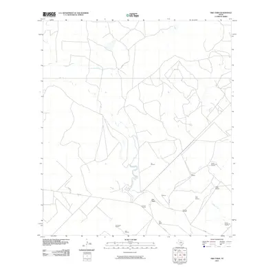 2010 Frio Town2010 Print · USGSFrio County's ranching landscape is captured here in the early twenty-first century, centered on the settlement at Frio Town. Researchers can trace local genealogy and land use through features like the Frio Town Cemetery, Rock House Ranch, and named landmarks such as Beef Trap Windmill.
 - 2010 Map of Wilson Ranch, 2010 Print
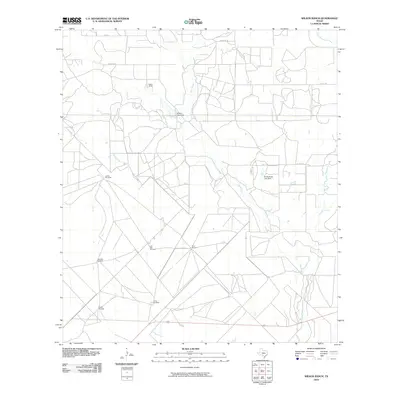 2010 Wilson Ranch2010 Print · USGSMedina County ranchlands are documented here in the early twenty-first century, showing a landscape shaped by water and livestock. Researchers can find family-named landmarks and essential infrastructure like Wilson Ranch, the Slaughter Windmill, and Eschenburg Lake Dam.
 - 2010 Map of Moore, 2010 Print
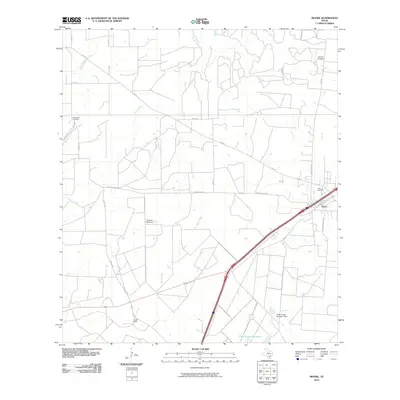 2010 Moore2010 Print · USGSMoore and the surrounding Frio County ranchlands are documented here during the early twenty-first century. Researchers can trace family history at Tomerlin Cemetery or Moore Cemetery and locate rural landmarks like Gracey Ranch.
 - 2010 Map of Dilley, 2010 Print
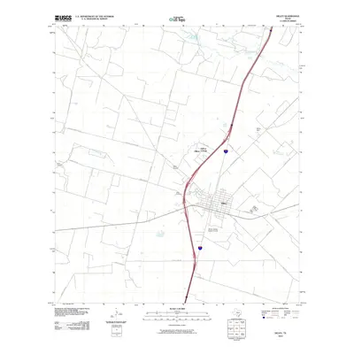 2010 Dilley2010 Print · USGSDilley and its surrounding Frio County ranchlands are documented here during the early twenty-first century. Genealogists and local historians can trace family locations from Burns Ranch to the Hugo Cemetery, or locate the Winter Garden Rodeo Ground.
 - 2010 Map of Holcomb Reservoir, 2010 Print
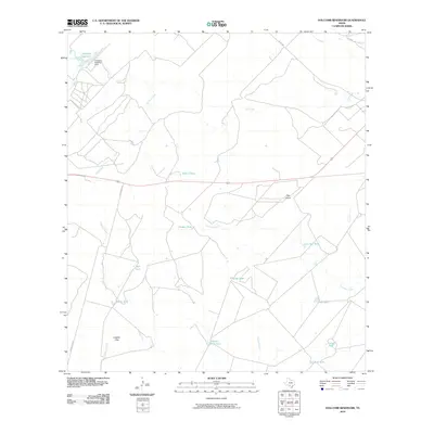 2010 Holcomb Reservoir2010 Print · USGSThe ranchlands of South Texas are captured here at the start of the decade, showing a landscape defined by water management and isolated ridges. Researchers can trace cattle-country infrastructure through numerous named basins like Garden Tank and landmarks like Pilot Knob.
 - 2010 Map of Woodward NE, 2010 Print
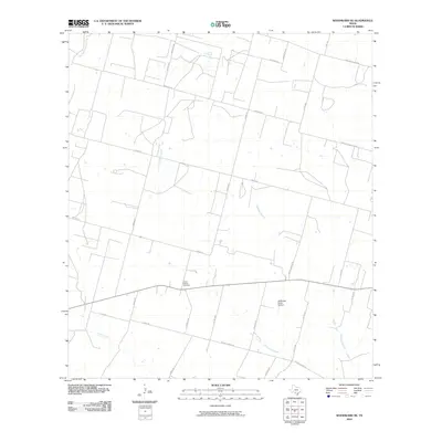 2010 Woodward NE2010 Print · USGSFrio County ranch land is captured here in the early 2000s, showing a landscape defined by seasonal creek beds and family-named roads. Genealogists and local historians can locate Covey Chapel Cemetery and trace the drainage of Cibolo Creek near McDonald Ranch Airport.
 - 2010 Map of West Ranch, 2010 Print
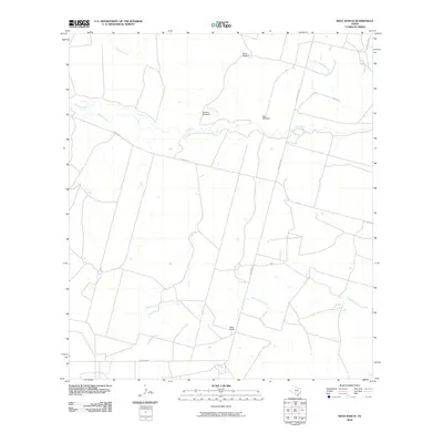 2010 West Ranch2010 Print · USGSFrio County ranching culture is well-documented in this early twenty-first-century survey of the South Texas brush country. Researchers can trace the layout of West Ranch and locate specific landmarks like White Windmill and the winding Leona River.
 - 2010 Map of Bigfoot, 2010 Print
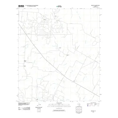 2010 Bigfoot2010 Print · USGSBigfoot and the surrounding Texas brush country are shown here in the early twenty-first century as a landscape of ranching and oil extraction. Researchers can locate family landmarks like Griffin Cemetery, trace the Beer Creek Oil Field, and follow old routes such as Old Devine Rd.
 - 2010 Map of Divot, 2010 Print
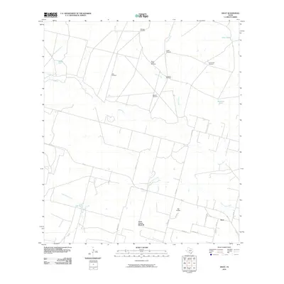 2010 Divot2010 Print · USGSThe settlement of Divot and its surrounding ranch lands are documented here at the start of the 21st century. Researchers can trace rural water systems and family-named landmarks like Parks Corner Windmill, Gillman Windmill, and the course of the Leona River.
 - 2010 Map of Johnnie Little Hill, 2010 Print
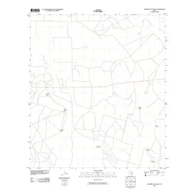 2010 Johnnie Little Hill2010 Print · USGSFrio County ranch land at the start of the 21st century reveals a landscape managed through a vast network of water infrastructure. Researchers can trace land use and local geography through named landmarks like Johnnie Little Hill, Three Leg Windmill, and Fight and Holler Creek.
 - 2010 Map of Halff Ranch, 2010 Print
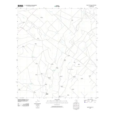 2010 Halff Ranch2010 Print · USGSIn the brush country of Frio County during the early twenty-first century, the landscape is defined by sprawling cattle operations and critical water sources. Researchers can trace historic ranch boundaries and water infrastructure through labels like Halff Ranch, Buzzard Roost Lake, and the Cude Crossing Windmill.
 - 2010 Map of Derby, 2010 Print
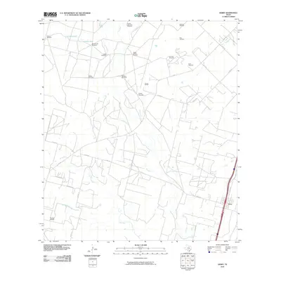 2010 Derby2010 Print · USGSSouthern Frio County at the turn of the millennium shows a landscape defined by the Frio River and the rural settlement of Derby. Local researchers can trace the intersection of ranching and industry through landmarks like the Pearsall Oil Field and Honeymoon Windmill.
 - 2010 Map of Snake Creek, 2010 Print
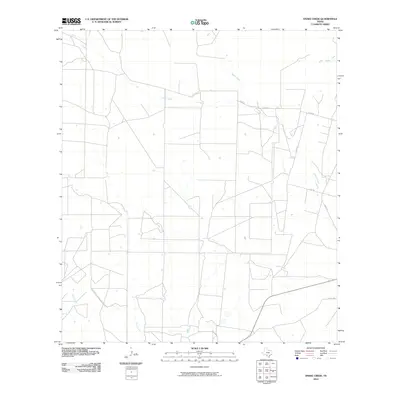 2010 Snake Creek2010 Print · USGSFrio County ranch land and ephemeral stream systems are surveyed here during the first decade of the 2000s. Genealogists and local historians can trace property boundaries and rural routes like Hugo Rd near the banks of Cibolo Creek and Snake Creek.
 - 2010 Map of Gross Tank, 2010 Print
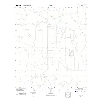 2010 Gross Tank2010 Print · USGSMedina County ranch lands are shown in detail during the early 21st century, centered on essential water sources and rural roads. Researchers can locate specific ranching landmarks like Catfish Tank, Windmill Number Sixteen, and the curiously named Fight-and-Holler-Creek.
 - 2010 Map of Hindes, 2010 Print
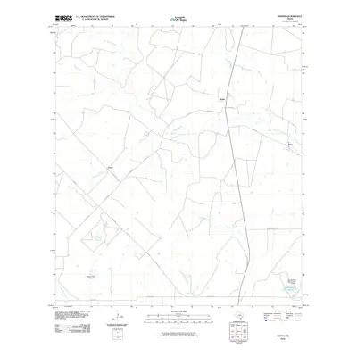 2010 Hindes2010 Print · USGSSouthern Frio County at the turn of the millennium remains a landscape of ranching and seasonal creeks. Researchers can trace land tracts near the settlements of Hindes and Orelia or locate water infrastructure like the McNeel Lake Dam.
 - 2010 Map of Pearsall South, 2010 Print
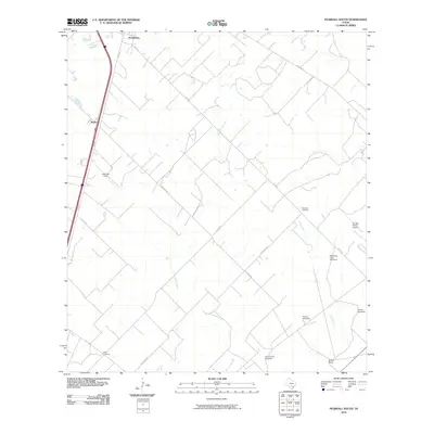 2010 Pearsall South2010 Print · USGSSouth of Pearsall in the early 2000s, this portion of Frio County shows a landscape of cattle ranching and rural navigation. Researchers can trace family-named landmarks like Shiner Ranch and remote burial sites including Buckhorn Cemetery and Derby Cemetery.
 - 2010 Map of Ghost Hill, 2010 Print
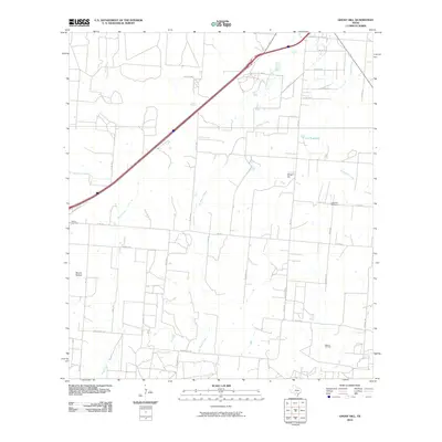 2010 Ghost Hill2010 Print · USGSMedina County at the start of the twenty-first century reveals a landscape of ranching heritage and active petroleum extraction. Researchers can locate family landmarks such as Longview Cemetery or trace the extent of the Bigfoot Oil Field.
 - 2010 Map of Pearsall North, 2010 Print
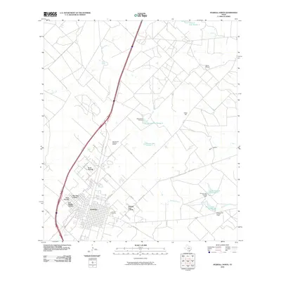 2010 Pearsall North2010 Print · USGSPearsall and its surrounding colonias are captured here during a period of South Texas expansion. Researchers can trace the development of residential clusters like Frio Heights or locate family roots at the Pearsall Cemetery and Jones Mound.
 - 2010 Map of Schattel, 2010 Print
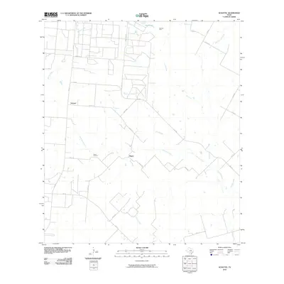 2010 Schattel2010 Print · USGSFrio County ranch lands and brush country appear here in the early twenty-first century as oil extraction and rural life converge. Researchers can locate the Miguel Cemetery and trace the paths of Lagunillas Creek and the Kyote Oil Field.
 - 2010 Map of Dilley NE, 2010 Print
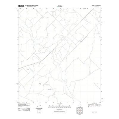 2010 Dilley NE2010 Print · USGSSouth Texas ranchland along the Frio River is documented here during the early twenty-first century. Genealogists and land historians can trace rural property boundaries and water features like Thompson Lake Dam and the old Paso De Piedra Rd.
 - 2010 Map of Goldfinch, 2010 Print
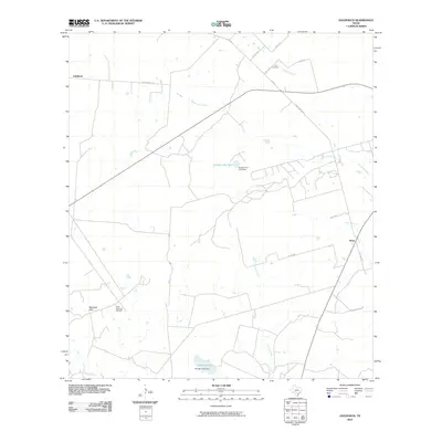 2010 Goldfinch2010 Print · USGSAtascosa County ranching and energy land is captured here during the first decade of the millennium. Researchers can trace family sites near Luna Cemetery or examine the rural infrastructure around Goldfinch, Davis, and the West Charlotte Oil Field.
 - 2010 Map of Las Flores, 2010 Print
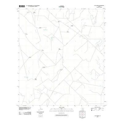 2010 Las Flores2010 Print · USGSFrio County ranch land is captured here in the early twenty-first century, showing a landscape shaped by water management and large estates. Researchers can trace the layout of family-named sites and infrastructure like San Jose Ranch, Caldwell Tank, and the Caballo Blanco Windmill.
 - 2010 Map of Keystone Ranch, 2010 Print
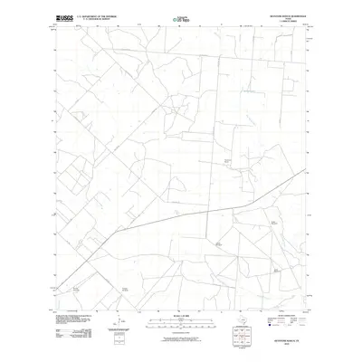 2010 Keystone Ranch2010 Print · USGSFrio County ranching land in the early twenty-first century is defined by its vital water infrastructure and local road networks. Researchers can trace the placement of named landmarks like Keystone Ranch, Howard Lake, and the Loston Windmill.
 - 2010 Map of Schattel NW, 2010 Print
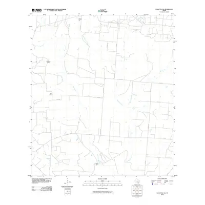 2010 Schattel NW2010 Print · USGSFrio County ranch land and energy infrastructure are captured here in the early twenty-first century. Researchers can trace rural property lines and landmarks like Rancho Pobre, the West Big Foot Gas Field, and drainages such as San Miguel Creek.
 - 2012 Map of Keystone Ranch, 2012 Print
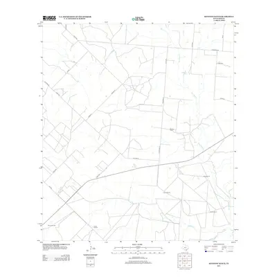 2012 Keystone Ranch2012 Print · USGSFrio County ranch land is captured here in the early twenty-first century, showing the enduring infrastructure of South Texas cattle country. Researchers can locate named water-pumping sites like Triangle Windmill and Loston Windmill near Keystone Ranch.
Showing maps 1-25 of 96
Top cities of Frio County
Frequently asked questions
- What are the different types of historical maps available for Frio County?
- What is the oldest map of Frio County?
- Where can I purchase historical maps of Frio County for my home or office?
- Where can I download high-res historical maps of Frio County?
- Are there historical topographic maps available for Frio County?
- Is there historical aerial imagery available for Frio County?
- Where are historical maps of Frio County sourced from?