Old Maps of Clifton Beach, Texas for Hiking & Exploration
Hike through history with 14 historic maps of Clifton Beach. Explore old trails, ghost towns, and forgotten backroads — perfect for outdoor adventurers and local explorers.
- Rediscover forgotten places: Map out old mining camps, roads, and footpaths that no longer exist on modern maps.
- Layer with modern tools: Combine with LiDAR or satellite views to plan hikes through historical terrain.
- Made for exploration: Popular among hikers, overlanders, and local history lovers.
Use these maps to find adventure and explore the hidden past of Clifton Beach.
Clifton Beach, TX maps
(14)- 1932 Map of Clifton By The Sea
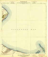 1932 Clifton By The Sea1932 Print · USGSThe Texas coastline along Galveston Bay appears in the early 1930s as a landscape of maritime navigation and rail-side settlements. Genealogists and historians can trace the streets of Clifton by the Sea and locate the Red Fish Bar L H lighthouse.2 unique versions available
 - 1943 Map of Clifton By The Sea, 1952 Print
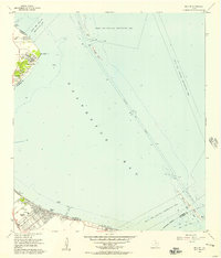
 1943 Clifton By The Sea1952 Print · USGSThe western shores of Galveston Bay come alive in the 1940s, showcasing early coastal developments and maritime industry. Trace old waterfront family sites at Clifton by the Sea and San Leon, or locate historic burials at Harris Cem and Seabrook Cem.
 - 1950 Map of Houston, 1953 Print
 1950 Houston1953 Print · USGSCoastal Texas in the early fifties reveals a landscape of massive civil engineering and industrial transit. Genealogists and researchers can trace the growth of the Houston suburbs and the maritime infrastructure of Galveston Bay, including the Gulf Freeway and the Texas City Dike.
 - 1956 Map of Bacliff, 1957 Print
 1956 Bacliff1957 Print · USGSCoastal life along the western edge of the bay comes to focus in the mid-fifties, showing a network of shorebound communities and maritime routes. Genealogists can trace early neighborhood layouts in Bacliff and El Jardin Del Mar or locate landmarks like Seabrook Cem and Red Fish Island.3 unique versions available
 - 1956 Map of Houston, 1963 Print
 1956 Houston1963 Print · USGSSoutheast Texas in the mid-fifties is captured here as a powerhouse of oil and maritime trade. Genealogists and historians can trace the foundations of Houston and its ports, alongside landmarks like the Rice Institute and the Spindletop Oil Field.2 unique versions available
 - 1975 Map of Houston, 1977 Print
 1975 Houston1977 Print · USGSThe Texas Gulf Coast in the mid-seventies shows a sprawling Houston metropolis linked to the sea by the massive Houston Ship Channel. Researchers can trace the mid-century industrial landscape from the Astrodome to the Lyndon B. Johnson Space Center.2 unique versions available
 - 1982 Map of Bacliff
 1982 Bacliff1982 Print · USGSUpper Galveston Bay and the Texas coast come alive in this early eighties survey of the bustling Houston maritime corridor. Genealogists and local historians can trace the development of Bacliff, San Leon, and Seabrook alongside the heavy industrial footprint of the Oil Field.
 - 1983 Map of Anahuac
 1983 Anahuac1983 Print · USGSThe Upper Texas Coast and its energy-driven landscape are detailed here in the early eighties. Genealogists and historians can trace coastal settlements like Anahuac and Winnie alongside the storied Spindletop Oil Field and the Anahuac National Wildlife Refuge.2 unique versions available
 - 1993 Map of Bacliff
 1993 Bacliff1993 Print · USGSThe Galveston Bay shoreline in the early nineties reveals a landscape of growing coastal communities and offshore energy production. Genealogists and local historians can map out residential areas like Bacliff and San Leon or locate landmarks such as Bayshore Church and the Houston Yacht Club.
 - 2010 Map of Bacliff, 2010 Print
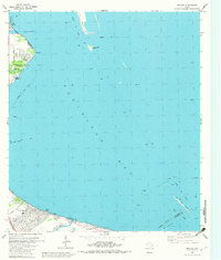
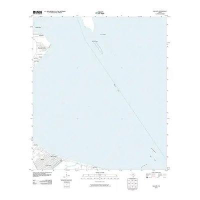 2010 Bacliff2010 Print · USGSCovers Clifton Beach, including Pasadena, League City, and other nearby areas
 - 2013 Map of Bacliff, 2013 Print
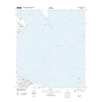 2013 Bacliff2013 Print · USGSCovers Clifton Beach, including Pasadena, League City, and other nearby areas
 - 2016 Map of Bacliff, 2016 Print
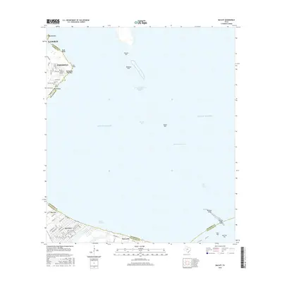 2016 Bacliff2016 Print · USGSCovers Clifton Beach, including Pasadena, League City, and other nearby areas
 - 2019 Map of Bacliff, 2019 Print
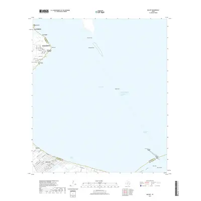 2019 Bacliff2019 Print · USGSCovers Clifton Beach, including Pasadena, League City, and other nearby areas
 - 2022 Map of Bacliff, 2022 Print
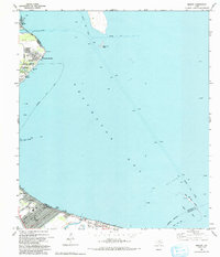
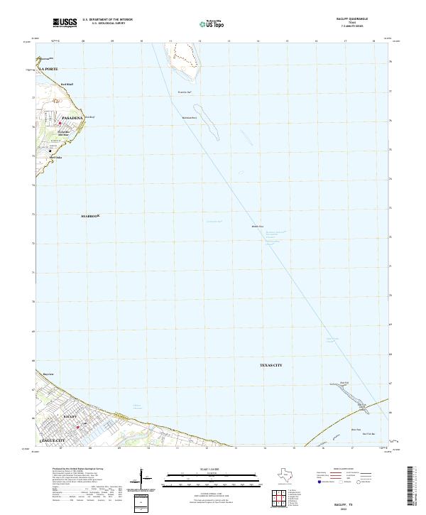 2022 Bacliff2022 Print · USGSThe Galveston Bay coastline in 2022 remains a hub of maritime commerce and residential growth. Trace the streets of Bacliff, find the Seabrook Cem, and follow the Houston Ship Channel through the bay.
End of results
Showing maps 1-14 of 14
Top cities near Clifton Beach
- Houston historical maps
- Pasadena historical maps
- League City historical maps
- Baytown historical maps
- Galveston historical maps
- Texas City historical maps
See more
Frequently asked questions
- What are the different types of historical maps available for Clifton Beach?
- What is the oldest map of Clifton Beach?
- Where can I purchase historical maps of Clifton Beach for my home or office?
- Where can I download high-res historical maps of Clifton Beach?
- Are there historical topographic maps available for Clifton Beach?
- Is there historical aerial imagery available for Clifton Beach?
- Where are historical maps of Clifton Beach sourced from?