2000s (21st Century) Maps of Baytown, Texas
Explore 30 historic maps of Baytown from the 2000s (21st Century). These maps offer a rare glimpse into what life looked like during the 2000s — showing old roads, neighborhoods, homes, and landmarks that have changed or disappeared over time.
Whether you're researching your family's past, planning a metal detecting trip, or studying how Baytown's landscape evolved across the 2000s, these high-resolution maps are a powerful tool for exploring the history of this region.
- Focus on a specific era: All maps on this page are from the 2000s, giving you a focused view of this time period.
- See what’s changed: Compare century-old streets, trails, and buildings to today's modern landscape using overlays and satellite layers.
- Research with precision: Use these maps for genealogy, historical research, land use analysis, or educational projects.
- View, download, or print: Maps are fully viewable online in high resolution, and can be downloaded or printed for your own records.
Start exploring Baytown's history through authentic maps from the 2000s. This is your window into the past.
Baytown, TX maps
(30)- 2010 Map of Mont Belvieu, 2010 Print
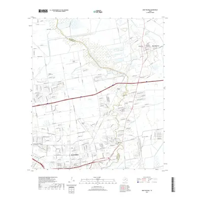
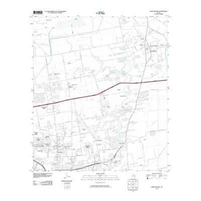 2010 Mont Belvieu2010 Print · USGSCovers Baytown, including Mont Belvieu, Cedar Bayou, and other nearby areas
 - 2010 Map of Highlands, 2010 Print
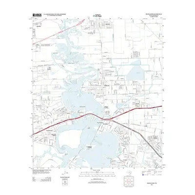
 2010 Highlands2010 Print · USGSCovers Baytown, including Houston, Channelview, and other nearby areas
 - 2010 Map of La Porte, 2010 Print
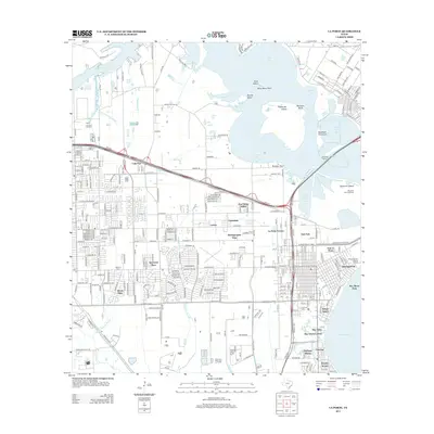
 2010 La Porte2010 Print · USGSCovers Baytown, including Houston, Pasadena, and other nearby areas
 - 2010 Map of Cove, 2010 Print
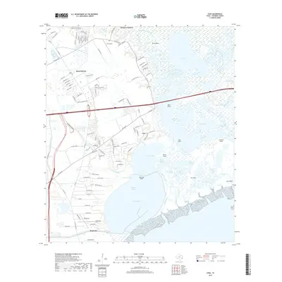
 2010 Cove2010 Print · USGSCovers Baytown, including Mont Belvieu, Beach City, and other nearby areas
 - 2010 Map of Umbrella Point, 2010 Print
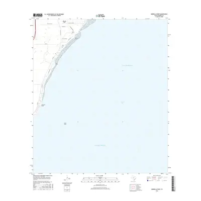
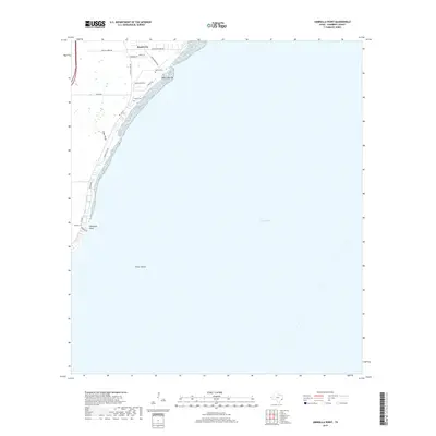
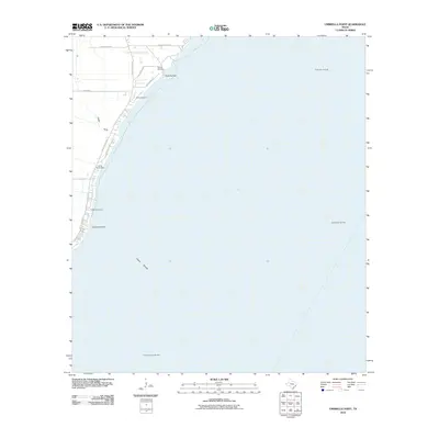 2010 Umbrella Point2010 Print · USGSCovers Baytown, including Beach City, Chambers County, and other nearby areas
 - 2010 Map of Morgans Point, 2010 Print
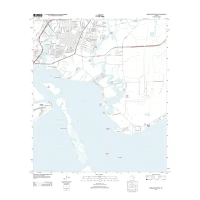
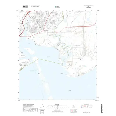
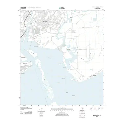 2010 Morgans Point2010 Print · USGSCovers Baytown, including La Porte, Beach City, and other nearby areas
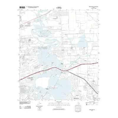
 - 2013 Map of Mont Belvieu, 2013 Print
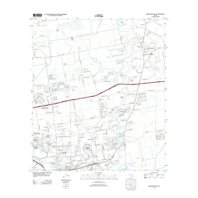 2013 Mont Belvieu2013 Print · USGSCovers Baytown, including Mont Belvieu, Cedar Bayou, and other nearby areas
 - 2013 Map of Umbrella Point, 2013 Print
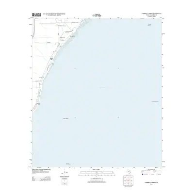 2013 Umbrella Point2013 Print · USGSCovers Baytown, including Beach City, Chambers County, and other nearby areas
 - 2013 Map of Morgans Point, 2013 Print
 2013 Morgans Point2013 Print · USGSCovers Baytown, including La Porte, Beach City, and other nearby areas
 - 2013 Map of Cove, 2013 Print
 2013 Cove2013 Print · USGSCovers Baytown, including Mont Belvieu, Beach City, and other nearby areas
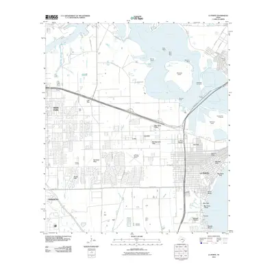
 - 2013 Map of La Porte, 2013 Print
 2013 La Porte2013 Print · USGSCovers Baytown, including Houston, Pasadena, and other nearby areas
 - 2013 Map of Highlands, 2013 Print
 2013 Highlands2013 Print · USGSCovers Baytown, including Houston, Channelview, and other nearby areas
 - 2016 Map of Umbrella Point, 2016 Print
 2016 Umbrella Point2016 Print · USGSCovers Baytown, including Beach City, Chambers County, and other nearby areas
 - 2016 Map of Mont Belvieu, 2016 Print
 2016 Mont Belvieu2016 Print · USGSCovers Baytown, including Mont Belvieu, Cedar Bayou, and other nearby areas
 - 2016 Map of Morgans Point, 2016 Print
 2016 Morgans Point2016 Print · USGSCovers Baytown, including La Porte, Beach City, and other nearby areas
 - 2016 Map of Cove, 2016 Print
 2016 Cove2016 Print · USGSCovers Baytown, including Mont Belvieu, Beach City, and other nearby areas
 - 2016 Map of Highlands, 2016 Print
 2016 Highlands2016 Print · USGSCovers Baytown, including Houston, Channelview, and other nearby areas
 - 2016 Map of La Porte, 2016 Print
 2016 La Porte2016 Print · USGSCovers Baytown, including Houston, Pasadena, and other nearby areas
 - 2019 Map of Morgans Point, 2019 Print
 2019 Morgans Point2019 Print · USGSCovers Baytown, including La Porte, Beach City, and other nearby areas
 - 2019 Map of Umbrella Point, 2019 Print
 2019 Umbrella Point2019 Print · USGSCovers Baytown, including Beach City, Chambers County, and other nearby areas
 - 2019 Map of Mont Belvieu, 2019 Print
 2019 Mont Belvieu2019 Print · USGSCovers Baytown, including Mont Belvieu, Cedar Bayou, and other nearby areas
 - 2019 Map of Cove, 2019 Print
 2019 Cove2019 Print · USGSCovers Baytown, including Mont Belvieu, Beach City, and other nearby areas
 - 2019 Map of La Porte, 2019 Print
 2019 La Porte2019 Print · USGSCovers Baytown, including Houston, Pasadena, and other nearby areas
 - 2019 Map of Highlands, 2019 Print
 2019 Highlands2019 Print · USGSCovers Baytown, including Houston, Channelview, and other nearby areas
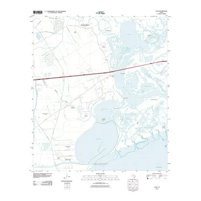
 - 2022 Map of Umbrella Point, 2022 Print
 2022 Umbrella Point2022 Print · USGSTrinity Bay's northeastern shoreline comes into focus in this recent study of Chambers County. Researchers can trace local lineage at the Solomon-Barrow Cem and Fisher Cem or locate coastal landmarks like Point Barrow and Umbrella Point.
Showing maps 1-25 of 30
Top cities near Baytown
- Houston historical maps
- Pasadena historical maps
- League City historical maps
- Channelview historical maps
- Texas City historical maps
- Friendswood historical maps
See more
Top neighborhoods of Baytown
- Pelly historical maps
- Wooster historical maps
- Brownwood historical maps
- Country Club Oaks historical maps
- Goose Creek Reserve historical maps
- Rolling Creek Estates historical maps
Frequently asked questions
- What are the different types of historical maps available for Baytown?
- What is the oldest map of Baytown?
- Where can I purchase historical maps of Baytown for my home or office?
- Where can I download high-res historical maps of Baytown?
- Are there historical topographic maps available for Baytown?
- Is there historical aerial imagery available for Baytown?
- Where are historical maps of Baytown sourced from?