2020s Maps of Jack County, Texas
Explore 20 historic maps of Jack County from the 2020s. These maps offer a rare glimpse into what life looked like during the 2020s — showing old roads, neighborhoods, homes, and landmarks that have changed or disappeared over time.
Whether you're researching your family's past, planning a metal detecting trip, or studying how Jack County's landscape evolved across the 2020s, these high-resolution maps are a powerful tool for exploring the history of this region.
- Focus on a specific era: All maps on this page are from the 2020s, giving you a focused view of this time period.
- See what’s changed: Compare century-old streets, trails, and buildings to today's modern landscape using overlays and satellite layers.
- Research with precision: Use these maps for genealogy, historical research, land use analysis, or educational projects.
- View, download, or print: Maps are fully viewable online in high resolution, and can be downloaded or printed for your own records.
Start exploring Jack County's history through authentic maps from the 2020s. This is your window into the past.
Jack County, TX maps
(20)- 2022 Map of Gibtown, 2022 Print
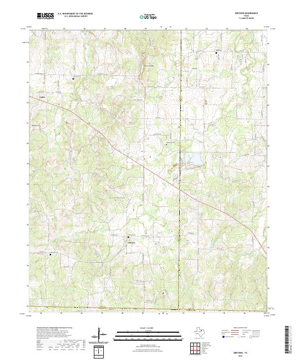 2022 Gibtown2022 Print · USGSNorth Texas ranching country and rolling hill terrain are captured here in the early twenty-first century. Genealogists can trace family footprints through numerous local burial sites like Gibtown Cem, Willow Point Cem, and Fairview Cem.
 - 2022 Map of Wizard Wells, 2022 Print
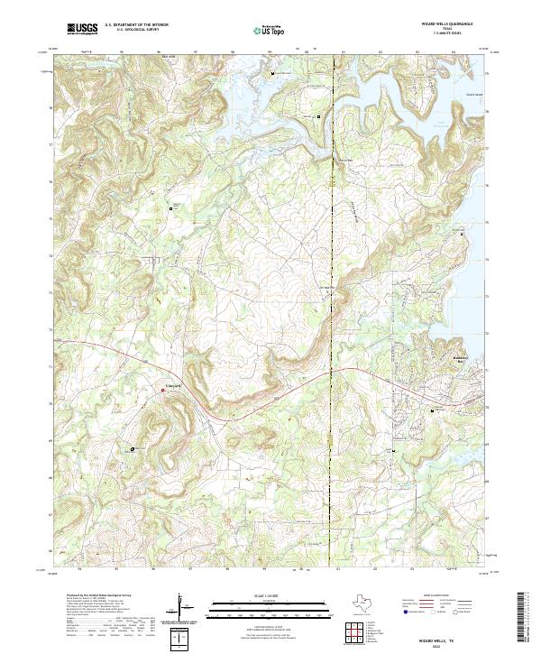 2022 Wizard Wells2022 Print · USGSThe rolling lands between the West Fork Trinity River and Lake Bridgeport come into focus during this modern era. Genealogists can trace family roots through numerous burial sites like Wizard Wells Cem and Kilby Cem, or locate the settlements of Vineyard and Runaway Bay.
 - 2022 Map of Crafton, 2022 Print
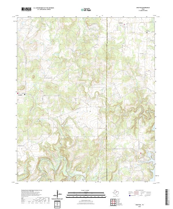 2022 Crafton2022 Print · USGSThe rural borderlands of Jack and Wise counties are captured here in the early 2020s, showing a landscape defined by ranching and the Trinity River. Local researchers can trace family landmarks and historical burial sites like Thomas - Norwood Cem and the small settlement of Cundiff.
 - 2022 Map of Selma, 2022 Print
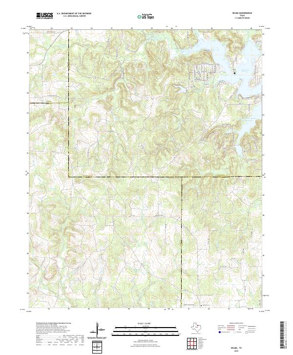 2022 Selma2022 Print · USGSMontague County’s rolling lake country is documented here at a time of modern growth alongside its deep rural roots. Researchers can locate family sites at Selma Cem and Crafton Cem or trace the early industrial paths of Old Oil Field Rd.
 - 2022 Map of Ross Mountain, 2022 Print
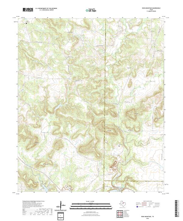 2022 Ross Mountain2022 Print · USGSThe convergence of Young, Jack, and Palo Pinto counties is captured here in the early twenty-first century. Researchers can trace ancestral connections at the Finis Cem or locate family-named landmarks like Ross Mtn and Kisinger Mtn.
 - 2022 Map of Perrin, 2022 Print
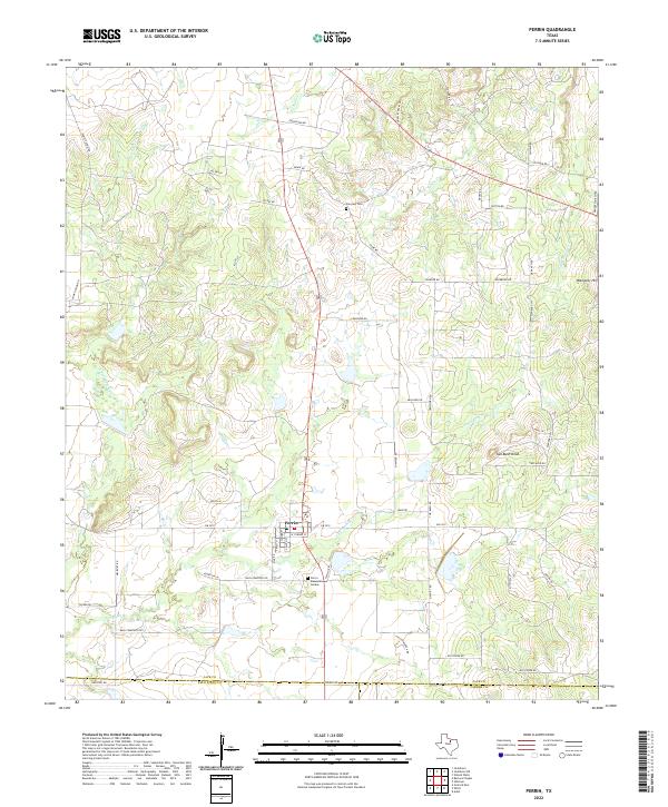 2022 Perrin2022 Print · USGSThe community of Perrin is shown here in the early 2020s, situated among the rolling creek drainages of Jack County. Researchers can trace local genealogy and land use through sites like Fairview Cem and the family-named corridors of Elenburg Ln and Slusher Rd.
 - 2022 Map of Senate, 2022 Print
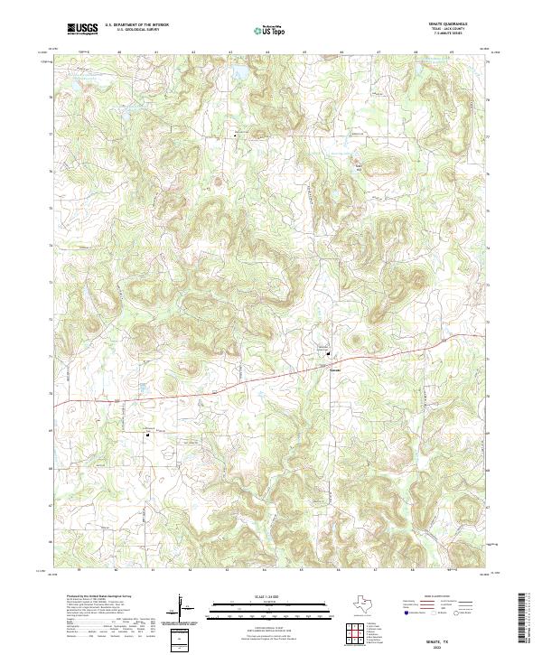 2022 Senate2022 Print · USGSJack County ranch lands and rural settlements are preserved here in the early twenty-first century. Genealogists can locate family burial sites at Mountain Home Cem and Cottonwood Cem, or trace the winding course of W Salt Cr near Senate.
 - 2022 Map of Markley, 2022 Print
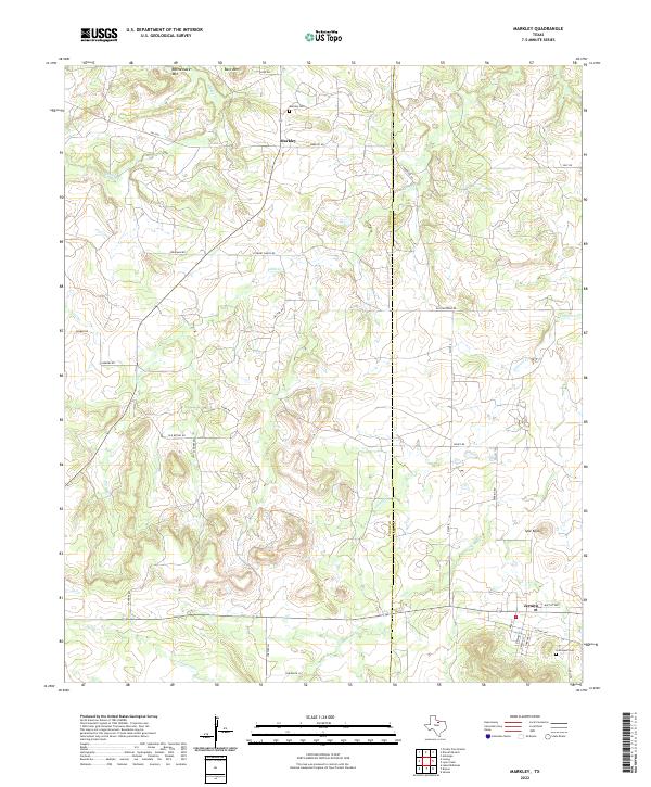 2022 Markley2022 Print · USGSThe borderlands of Young and Jack counties are captured here in the early twenty-first century, featuring the rural communities of Markley and Jermyn. Researchers can trace local genealogy and land use via Markley Cem, Graceland Cem, and landmarks like Spie Knob.
 - 2022 Map of Jacksboro NE, 2022 Print
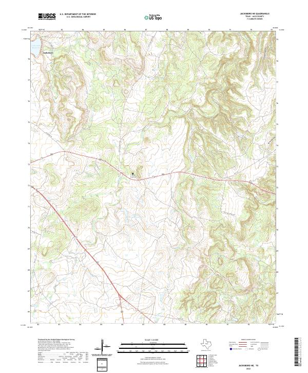 2022 Jacksboro NE2022 Print · USGSJack County ranch land and creek systems are documented here in the early twenty-first century. Researchers can locate family landmarks like Carroll Creek Cem and trace the seasonal flow of Snake Cr and Carroll Cr through the hills.
 - 2022 Map of Cundiff, 2022 Print
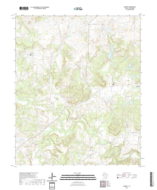 2022 Cundiff2022 Print · USGSJack County ranch lands are documented here in the early twenty-first century as the West Fork of the Trinity River winds through a landscape of family cemeteries and rural outposts. Researchers can trace land use through Burton Springs Cem and local landmarks like Worthington Lake Number 1 and Cundiff.
 - 2022 Map of Johnson Lake, 2022 Print
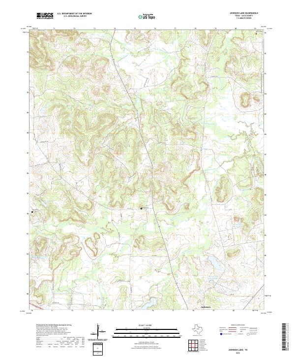 2022 Johnson Lake2022 Print · USGSJack County's cattle country and river breaks come alive in this recent survey of the lands north of Jacksboro. Genealogists and local historians can locate several family landmarks and burial sites, including Patton Cem, Brown Cem, and Graves Cem.
 - 2022 Map of Postoak, 2022 Print
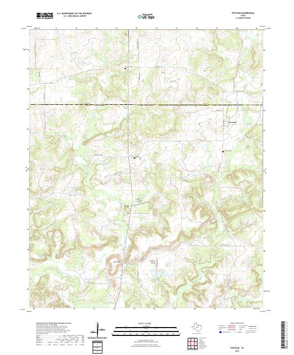 2022 Postoak2022 Print · USGSNorth Texas ranching country along the Clay and Jack County line is captured here in the early twenty-first century. Researchers can locate family landmarks like Harry Campsey Lake, the Post Oak Cem, and the uniquely named Flyin Armadillo Airport.
 - 2022 Map of Long Hollow, 2022 Print
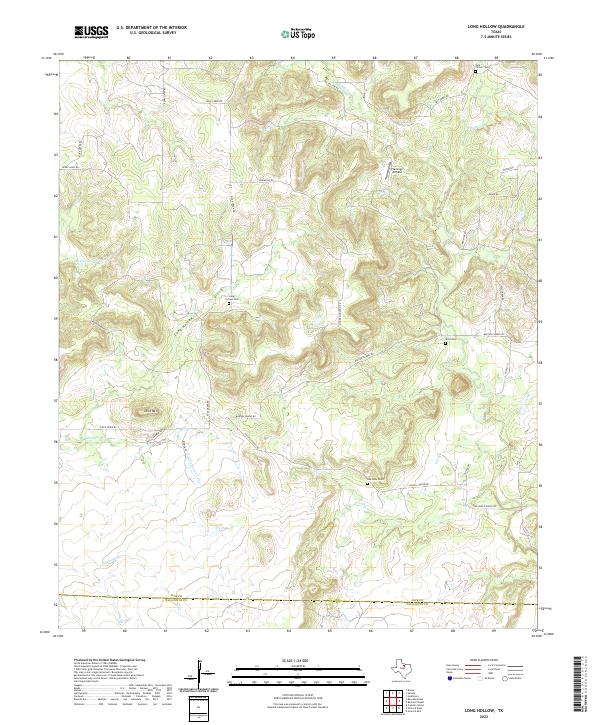 2022 Long Hollow2022 Print · USGSThe borderlands of Jack and Palo Pinto counties are traced here in recent years, showing a landscape defined by deep draws and ranching history. Genealogists and local historians can locate remote burial sites like Dark Corner Cem and landmarks such as Flamingo Airfield.
 - 2022 Map of Bryson, 2022 Print
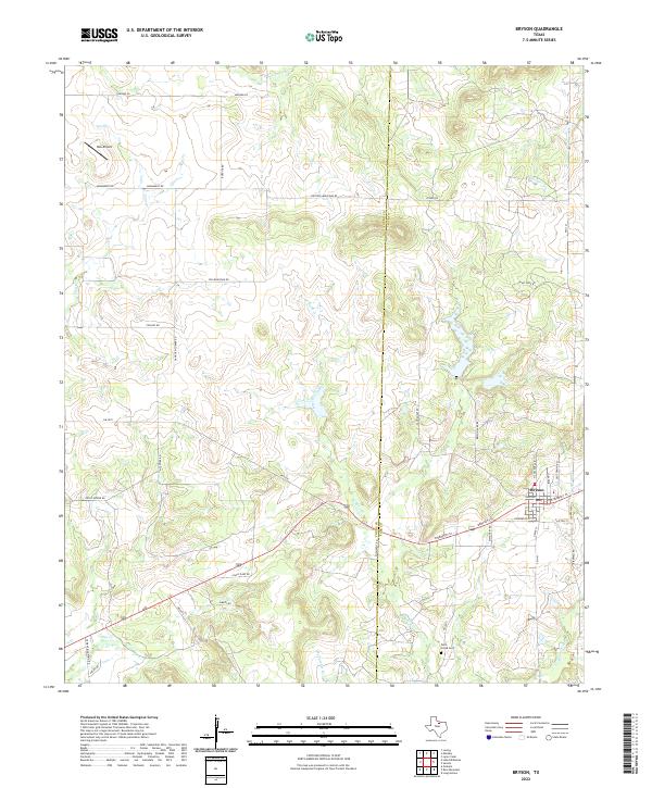 2022 Bryson2022 Print · USGSThe North Texas town of Bryson and the surrounding ranch land come into focus in this contemporary survey of the Young and Jack county line. Researchers can trace rural landmarks from the Rock Creek Cem to the headwaters of West Rock Creek and Dry Cr.
 - 2022 Map of Darnell Branch, 2022 Print
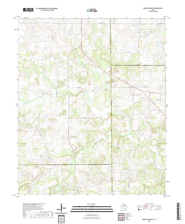 2022 Darnell Branch2022 Print · USGSThe North Texas ranchlands at the intersection of four counties are captured here in the early twenty-first century. Genealogists and local historians can trace family-named routes and geographic landmarks like Gap Mtn, Mx Ranch Rd, and Antelope Field Lake.
 - 2022 Map of Bartons Chapel, 2022 Print
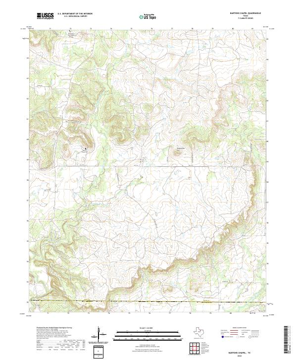 2022 Bartons Chapel2022 Print · USGSNorthern Texas ranchlands near the Palo Pinto county line are captured here in the early twenty-first century. Researchers can locate Barton Chapel Cem and trace the drainage of W Fork Keechi Cr and the Springdale Br.
 - 2022 Map of Newport, 2022 Print
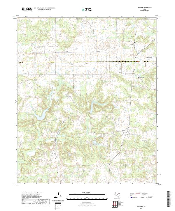 2022 Newport2022 Print · USGSJack County ranchlands and creek valleys are documented here during the early twenty-first century, showing the rural crossroads of Truce. Local historians can trace family burial grounds at Newport Cem and Swaggerty-Garrett Cem or locate Galliher Mtn.
 - 2022 Map of Jacksboro, 2022 Print
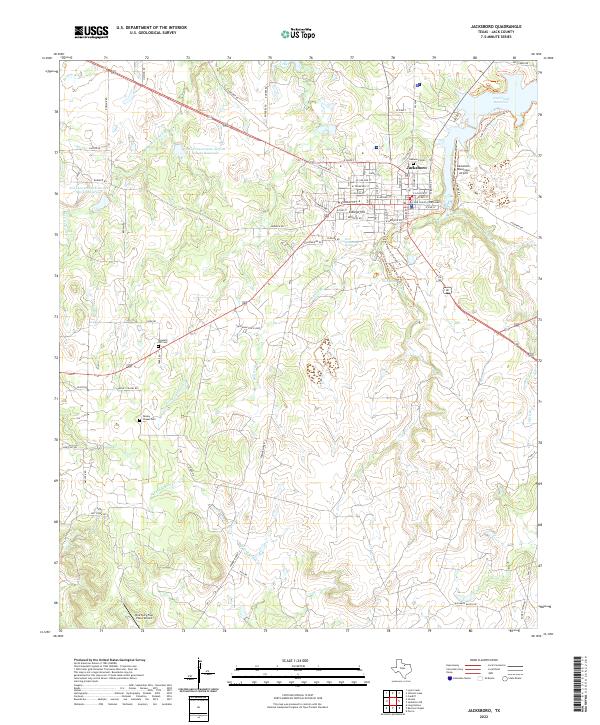 2022 Jacksboro2022 Print · USGSJack County's seat at Jacksboro is captured here in the early twenty-first century, showing the town's expansion alongside the Lost Creek Reservoir. Genealogists and historians can trace local sites like Oakwood Cem or follow the Lost Creek Reservoir Trailway Trail.
 - 2023 Map of Lynn Creek, 2023 Print
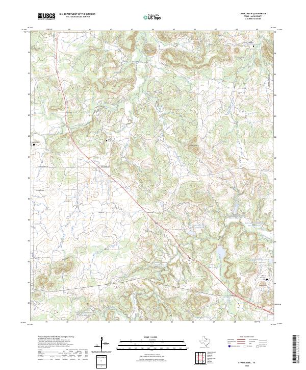 2023 Lynn Creek2023 Print · USGSJack County ranch lands and rugged peaks appear here in the early twenty-first century, showing a landscape shaped by creek systems and water conservation sites. Researchers can trace local heritage at Lynn Creek Cem, Roberts Branch Cem, and the high ground of Santanta Mtn.
 - 2023 Map of Antelope, 2023 Print
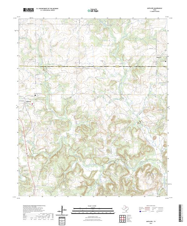 2023 Antelope2023 Print · USGSThe Jack County hills and the West Fork Trinity River define this North Texas landscape in the 2020s. Genealogists can locate family landmarks like Antelope Cem and Shannon Cem or trace the rural routes of Oakland Rd.
End of results
Showing maps 1-20 of 20
Top cities of Jack County
Frequently asked questions
- What are the different types of historical maps available for Jack County?
- What is the oldest map of Jack County?
- Where can I purchase historical maps of Jack County for my home or office?
- Where can I download high-res historical maps of Jack County?
- Are there historical topographic maps available for Jack County?
- Is there historical aerial imagery available for Jack County?
- Where are historical maps of Jack County sourced from?