2010s Maps of Jack County, Texas
Explore 80 historic maps of Jack County from the 2010s. These maps offer a rare glimpse into what life looked like during the 2010s — showing old roads, neighborhoods, homes, and landmarks that have changed or disappeared over time.
Whether you're researching your family's past, planning a metal detecting trip, or studying how Jack County's landscape evolved across the 2010s, these high-resolution maps are a powerful tool for exploring the history of this region.
- Focus on a specific era: All maps on this page are from the 2010s, giving you a focused view of this time period.
- See what’s changed: Compare century-old streets, trails, and buildings to today's modern landscape using overlays and satellite layers.
- Research with precision: Use these maps for genealogy, historical research, land use analysis, or educational projects.
- View, download, or print: Maps are fully viewable online in high resolution, and can be downloaded or printed for your own records.
Start exploring Jack County's history through authentic maps from the 2010s. This is your window into the past.
Jack County, TX maps
(80)- 2010 Map of Antelope, 2010 Print
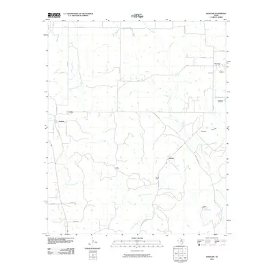 2010 Antelope2010 Print · USGSThe rural landscape of Jack County appears here in the early twenty-first century, centered on the historic crossroads of Antelope. Genealogists and researchers can trace local family landmarks at the Shannon Cemetery or explore the drainage of the West Fork Trinity River.
 - 2010 Map of Ross Mountain, 2010 Print
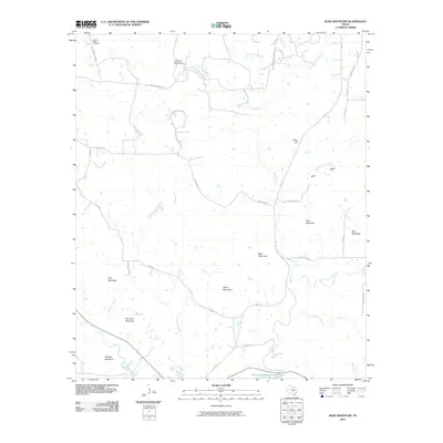 2010 Ross Mountain2010 Print · USGSPalo Pinto County in the early twenty-first century shows a landscape of prominent peaks and the northern reaches of Possum Kingdom Lake. Genealogists and local historians can locate Center Ridge Cemetery or trace family-named routes like Birdwell Rd and Coley Rd near Ross Mountain.
 - 2010 Map of Darnell Branch, 2010 Print
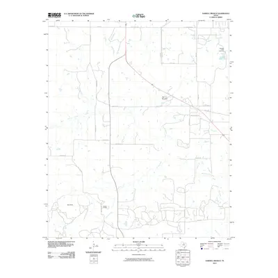 2010 Darnell Branch2010 Print · USGSYoung County's oil and ranching country comes into focus in this early twenty-first-century survey of the north Texas plains. Researchers can trace local energy history at the Prideaux Oil Field or navigate the terrain using landmarks like Gap Mountain and Spy Knob.
 - 2010 Map of Johnson Lake, 2010 Print
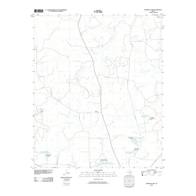 2010 Johnson Lake2010 Print · USGSJack County ranch lands and water management systems are on full display during the early 2000s. Genealogists and local historians can trace rural family landmarks like Brown Cemetery and Patton Cemetery alongside the Worthington Lake shoreline.
 - 2010 Map of Cundiff, 2010 Print
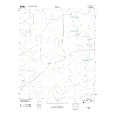 2010 Cundiff2010 Print · USGSJack County ranch lands and the upper reaches of the Trinity River are captured here during the first decade of the 2000s. Researchers can locate the community of Maryetta and trace family sites near Burton Springs Cemetery or Lost Creek Cemetery.
 - 2010 Map of Selma, 2010 Print
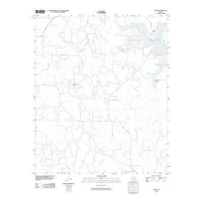 2010 Selma2010 Print · USGSMontague County, Texas, is captured here in the early twenty-first century as rural homesteads and oil interests occupy the prairie around Lake Amon G Carter. Genealogists and local historians can locate the Selma Cemetery, Crafton Cemetery, and the Bowie Southwest Oil Field.
 - 2010 Map of Long Hollow, 2010 Print
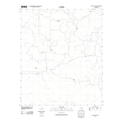 2010 Long Hollow2010 Print · USGSPalo Pinto County ranch land is captured here in the early 2000s, showing a landscape of family ranch roads and quiet creek beds. Genealogists can locate several historic burial grounds, including Long Hollow Cemetery, Wood Cemetery, and the Halsell Ranch Cemetery.
 - 2010 Map of Jacksboro NE, 2010 Print
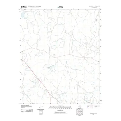 2010 Jacksboro NE2010 Print · USGSJacksboro, Texas, is captured here in the early twenty-first century, showing a landscape defined by ranching and resource extraction. Researchers can locate the Carroll Creek Cemetery, the Rusmag Oil Field, and landmarks like Thomas Cherryhomes Lake.
 - 2010 Map of Jacksboro, 2010 Print
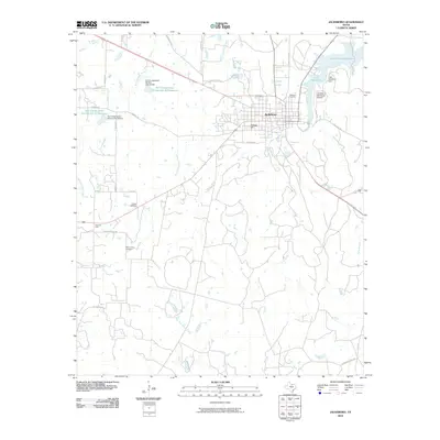 2010 Jacksboro2010 Print · USGSJacksboro and the surrounding Jack County landscape are documented here at a time of modern industrial and water development. Researchers can trace family roots at Oakwood Cemetery, locate the Steed Oil Field, or explore the shores of Lake Jacksboro.
 - 2010 Map of Bartons Chapel, 2010 Print
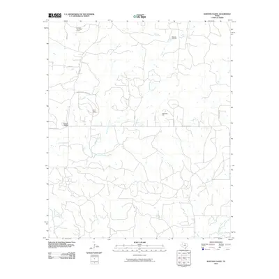 2010 Bartons Chapel2010 Print · USGSJack County's rural landscape at the turn of the decade is defined by its winding creek forks and scattered community landmarks. Genealogists and local historians can trace family ties at Bartons Chapel Cemetery or locate the remote One Sixty Four Place Airport and Tettertiller Hill.
 - 2010 Map of Gibtown, 2010 Print
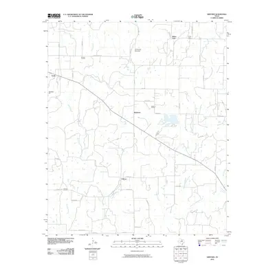 2010 Gibtown2010 Print · USGSJack County's rural ranching communities are detailed here during the early twenty-first century. Genealogists and local historians can locate several family burial grounds, including Westbrook Cemetery and Fairview Cemetery, and trace old routes through Gibtown.
 - 2010 Map of Postoak, 2010 Print
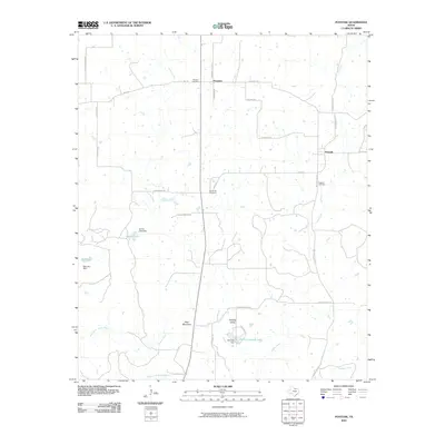 2010 Postoak2010 Print · USGSJack County's rural landscape is captured here in the early twenty-first century as it appeared before further modern development. Genealogists can trace family footprints through the Prospect Cemetery, Postoak Cemetery, and the hills near Bear Mountain.
 - 2010 Map of Newport, 2010 Print
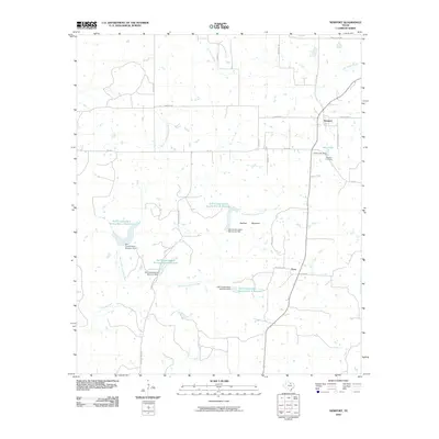 2010 Newport2010 Print · USGSThe rural communities of Clay County appear here in the early twenty-first century, showcasing a landscape of managed watersheds and prairie roads. Genealogists and local historians can trace family roots at Newport Cemetery or locate the site of Truce and Gray Lake.
 - 2010 Map of Crafton, 2010 Print
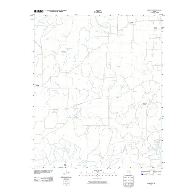 2010 Crafton2010 Print · USGSThe ranchlands of Jack and Wise Counties are documented here during a period of modern industrial and residential development. Trace local history through the Thomas-Norwood Cemetery, explore the West Chico Oil Field, or follow the banks of the West Fork Trinity River.
 - 2010 Map of Perrin, 2010 Print
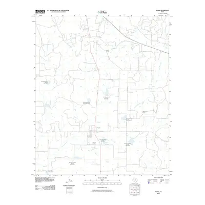 2010 Perrin2010 Print · USGSThe rural community of Perrin is depicted in the early twenty-first century, showing a landscape defined by ranching roads and water management. Genealogists and local historians can locate Fairview Cemetery, Perrino Cemetery, and the distinct landmark of Two Bush Knob.
 - 2010 Map of Senate, 2010 Print
 2010 Senate2010 Print · USGSJack County's ranching and oil country is captured here during the early 2000s, showing a landscape shaped by water management and mineral extraction. Researchers can locate family landmarks like Cottonwood Cemetery or trace early roads near Senate and the Bryson Oil Field.
 - 2010 Map of Markley, 2010 Print
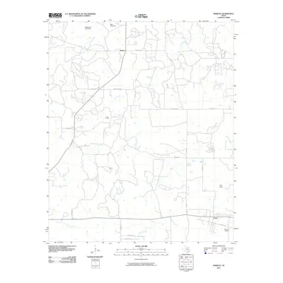 2010 Markley2010 Print · USGSYoung County's ranching and oil country is captured here during the early 2000s. Genealogists and local researchers can trace the roads around Markley and Jermyn, or locate family sites near Graceland Cemetery and the Wilton Oil Field.
 - 2010 Map of Wizard Wells, 2010 Print
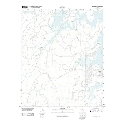 2010 Wizard Wells2010 Print · USGSWise County's rural character and lakeside development meet here in the first decade of the millennium. Researchers can trace family history through numerous burial sites like Wizard Wells Cemetery and explore the winding shores of Lake Bridgeport.
 - 2010 Map of Bryson, 2010 Print
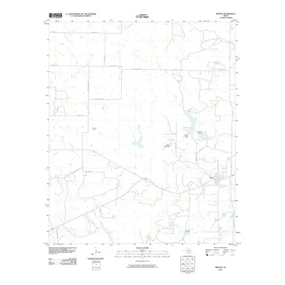 2010 Bryson2010 Print · USGSJack County ranch lands and oil fields are captured here during the early twenty-first century. Genealogists and historians can trace local family landmarks and burial sites like Rock Creek Cemetery, the Knox Oil Field, and the shorelines of McCloud Lake.
 - 2011 Map of Lynn Creek, 2011 Print
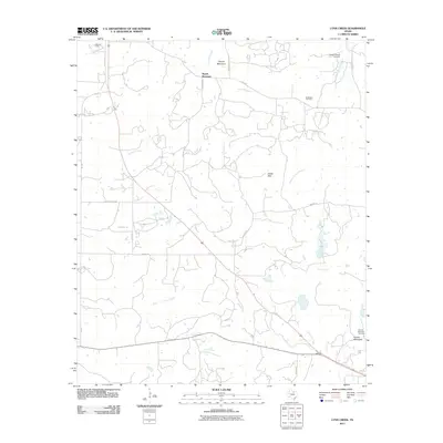 2011 Lynn Creek2011 Print · USGSJack County ranchlands and energy resources are on display in this early twenty-first-century survey of the Texas cross timbers. Genealogists and local researchers can locate the Roberts Branch Cemetery, Ellis Oil Field, and distinctive peaks like Squaw Mountain.
 - 2012 Map of Jacksboro NE, 2012 Print
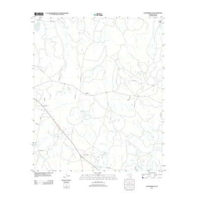 2012 Jacksboro NE2012 Print · USGSJack County ranch lands and energy resources are well-defined in this 2012 survey of the Texas countryside. Genealogists and local historians can locate the Carroll Creek Cem or trace the development of the Rusmag Oil Field and Lost Creek Reservoir.
 - 2012 Map of Long Hollow, 2012 Print
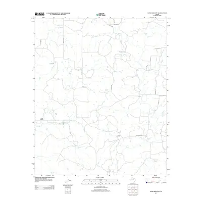 2012 Long Hollow2012 Print · USGSPalo Pinto County ranchlands are documented here in the early twenty-first century, showing a landscape of seasonal creeks and family homesteads. Genealogists can locate several rural burial sites, including Long Hollow Cem, Wood Cem, and the Halsell Ranch Cem.
 - 2012 Map of Postoak, 2012 Print
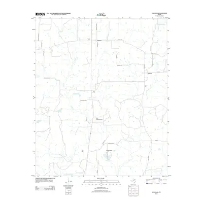 2012 Postoak2012 Print · USGSJack County's ranching and rural landscape is shown in detail during the early 21st century. Genealogists and researchers can trace family landmarks and burial sites like Prospect Cem and Silver Hill Cem, or explore the drainages of the W Fork Trinity River.
 - 2012 Map of Antelope, 2012 Print
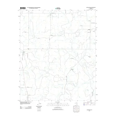 2012 Antelope2012 Print · USGSJack County ranching and energy landscapes are documented here during the early twenty-first century. Genealogists and local historians can trace the foundations of Antelope and Shannon while locating family sites near Antelope Cem or along the W Fork Trinity River.
 - 2012 Map of Senate, 2012 Print
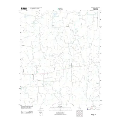 2012 Senate2012 Print · USGSJack County's rural character and oil heritage are on display in this contemporary survey of the Cross Timbers region. Genealogists and researchers can locate family sites at Winn Hill Cem, trace the footprint of the Bryson Oil Field, or explore the small communities of Bob Town and Senate.
Showing maps 1-25 of 80
Top cities of Jack County
Frequently asked questions
- What are the different types of historical maps available for Jack County?
- What is the oldest map of Jack County?
- Where can I purchase historical maps of Jack County for my home or office?
- Where can I download high-res historical maps of Jack County?
- Are there historical topographic maps available for Jack County?
- Is there historical aerial imagery available for Jack County?
- Where are historical maps of Jack County sourced from?