2020s Maps of Lee County, Texas
Explore 20 historic maps of Lee County from the 2020s. These maps offer a rare glimpse into what life looked like during the 2020s — showing old roads, neighborhoods, homes, and landmarks that have changed or disappeared over time.
Whether you're researching your family's past, planning a metal detecting trip, or studying how Lee County's landscape evolved across the 2020s, these high-resolution maps are a powerful tool for exploring the history of this region.
- Focus on a specific era: All maps on this page are from the 2020s, giving you a focused view of this time period.
- See what’s changed: Compare century-old streets, trails, and buildings to today's modern landscape using overlays and satellite layers.
- Research with precision: Use these maps for genealogy, historical research, land use analysis, or educational projects.
- View, download, or print: Maps are fully viewable online in high resolution, and can be downloaded or printed for your own records.
Start exploring Lee County's history through authentic maps from the 2020s. This is your window into the past.
Lee County, TX maps
(20)- 2022 Map of Giddings, 2022 Print
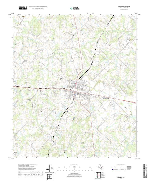 2022 Giddings2022 Print · USGSGiddings and the surrounding Lee County ranchlands are documented here in recent years, showing the intersection of historic town centers and rural expansion. Genealogists can trace family sites at Goucher Cem Historical Site or the New Corinth Cem, while water features like Walter Droemer Lake define the terrain.
 - 2022 Map of Carmine, 2022 Print
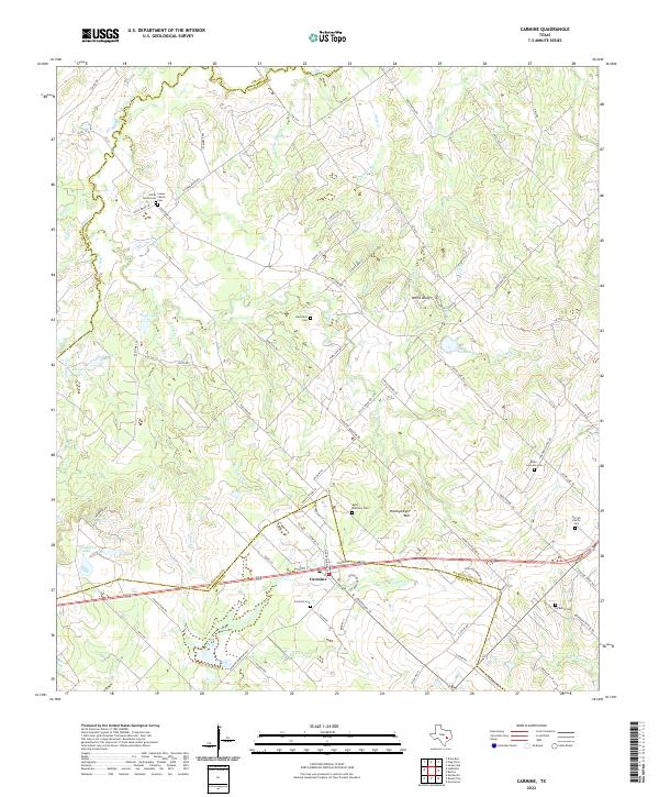 2022 Carmine2022 Print · USGSThe rural landscape around Carmine at the Fayette and Washington county line is documented here in the early twenty-first century. Genealogists can trace family heritage through numerous sites like White Union Cem, La Bahia Cem, and the Loewe Family Cem.
 - 2022 Map of Dime Box, 2022 Print
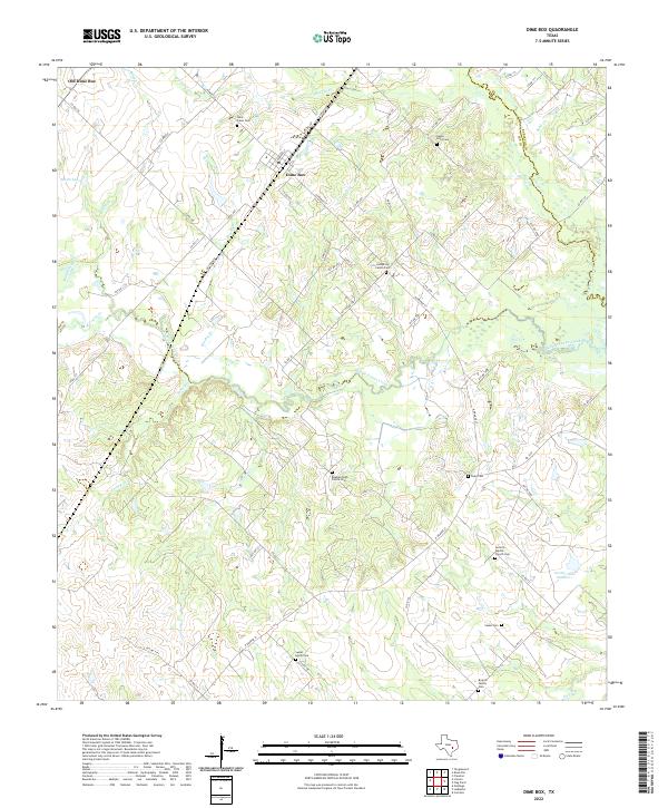 2022 Dime Box2022 Print · USGSThis rural Lee County landscape shows the Texas interior as it appeared in the early 2020s, centered on the twin settlements of Dime Box and Old Dime Box. Researchers can trace dozens of family and community sites, including the Beaman High Prairie Cem and Antioch Baptist Church Cem.
 - 2022 Map of Warda, 2022 Print
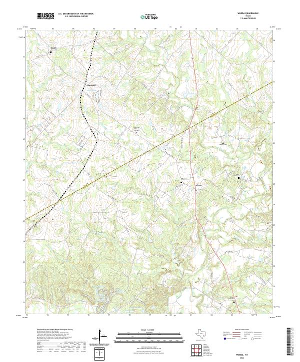 2022 Warda2022 Print · USGSThe Fayette and Lee county line in the early 2020s preserves a landscape of traditional German-Texan settlements and family-named creek branches. Genealogists can trace rural roots at Holy Cross Lutheran Cem, Besade Methodist Cem, and the historic Northrup area.
 - 2022 Map of Hicks, 2022 Print
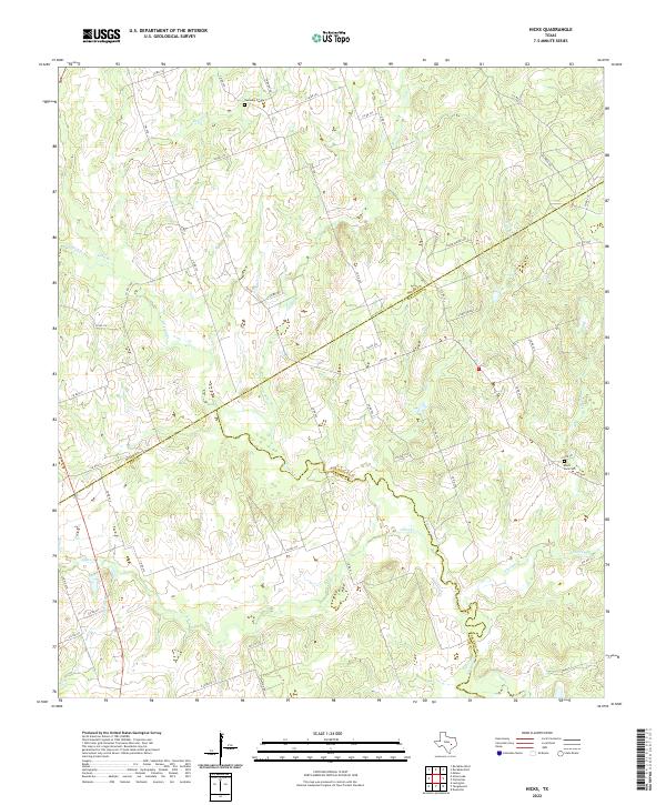 2022 Hicks2022 Print · USGSMilam, Burleson, and Lee counties meet in this Central Texas pastoral landscape during the early 2020s. Genealogists and local historians can locate rural burial sites like Harmony Cem and Black Jack Cem along the winding banks of E Yegua Cr.
 - 2022 Map of Nechanitz, 2022 Print
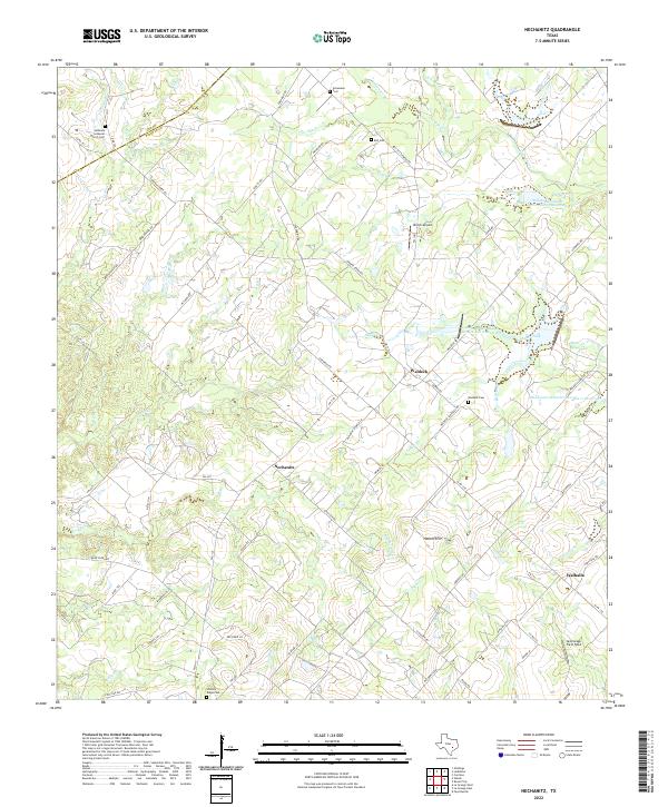 2022 Nechanitz2022 Print · USGSLife in central Texas revolves around the small communities of Nechanitz and Waldeck in this recent look at Fayette County. Genealogists can trace family names through several rural burial grounds like Hickory Ridge Cem and Bell Cem while following old creek lines.
 - 2022 Map of Ledbetter, 2022 Print
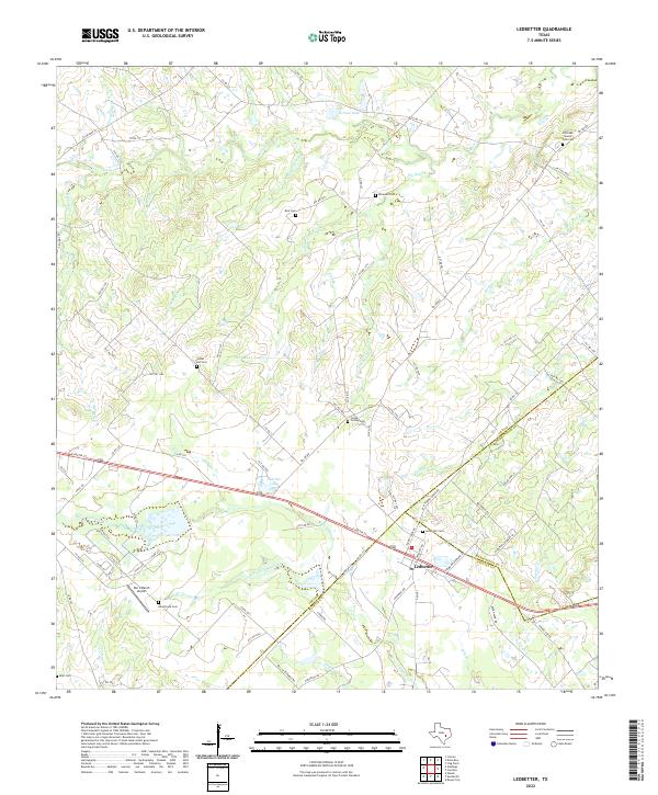 2022 Ledbetter2022 Print · USGSLedbetter and the surrounding tri-county borderlands of Lee, Washington, and Fayette counties are shown here in recent detail. Genealogists and local historians can locate several rural burial sites, including Globe Hill Cem, Ledbetter Cem, and the Post Oak Sunny Side Cem.
 - 2022 Map of Lincoln, 2022 Print
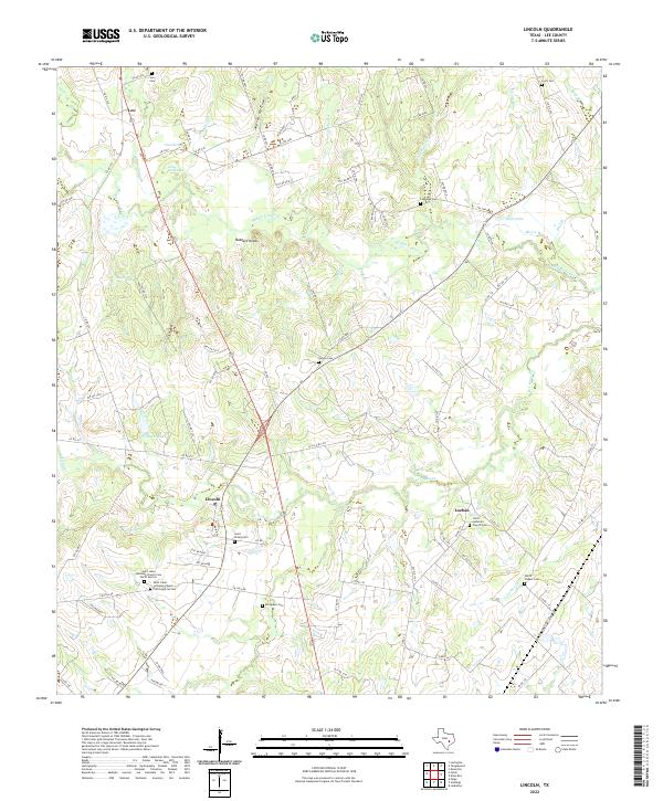 2022 Lincoln2022 Print · USGSLee County near the branching Yegua Creeks is documented here during the early twenty-first century. Researchers can locate numerous local burial grounds and family landmarks, from Evergreen Cem and Loebau to the prominent Buzzard Knobs.
 - 2022 Map of Deanville, 2022 Print
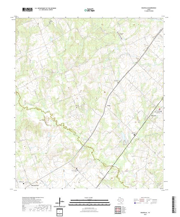 2022 Deanville2022 Print · USGSThe Burleson and Lee County line meanders through this agricultural region during the early twenty-first century. Genealogists can trace family names at several rural sites, including Saint Johns Lutheran Church Cem, Hranice Cem, and the Hannes - Old Dime Box Cem.
 - 2022 Map of Tanglewood, 2022 Print
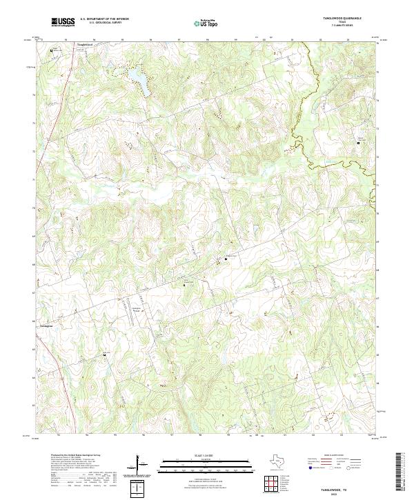 2022 Tanglewood2022 Print · USGSThis Lee County landscape at the Burleson line shows a rural Texas region defined by its winding creeks and family history. Genealogists can locate several remote burial grounds including Early Chapel Cem, Hugh Wilson Cem, and Lyles Cem.
 - 2022 Map of Flag Pond, 2022 Print
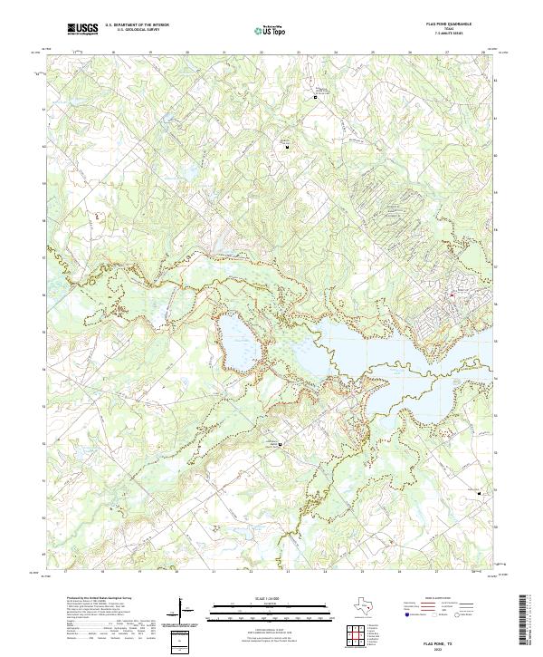 2022 Flag Pond2022 Print · USGSThe tri-county borderlands of Burleson, Lee, and Washington counties are centered on the waters of the Yegua Creek basin in this recent study. Researchers can find ancestral sites at Old Birch Creek Cem and trace the winding shoreline of Flag Pond and Somerville Lake.
 - 2022 Map of Winchester, 2022 Print
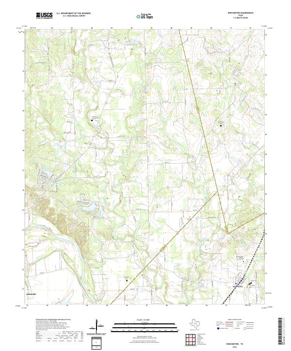 2022 Winchester2022 Print · USGSIn the early 2020s, the rural borderlands of Bastrop, Lee, and Fayette counties remain a landscape of family ranches and quiet creek valleys. Genealogists can trace local history through numerous sites like Winchester Cemetery, Cunningham Cemetery, and the Saint Marys Catholic Cemetery.
 - 2022 Map of Elgin East, 2022 Print
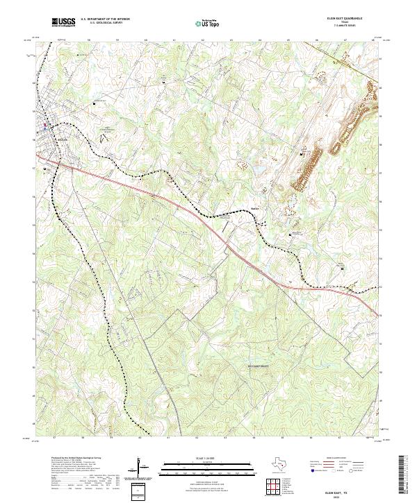 2022 Elgin East2022 Print · USGSThe outskirts of Elgin and the industrial community of Butler are shown here in 2022. Researchers can trace family history through several burial sites like Morgan Chapel Cem and Three Oaks Cem or locate Hawken Air One Airport.
 - 2022 Map of Alcoa Lake, 2022 Print
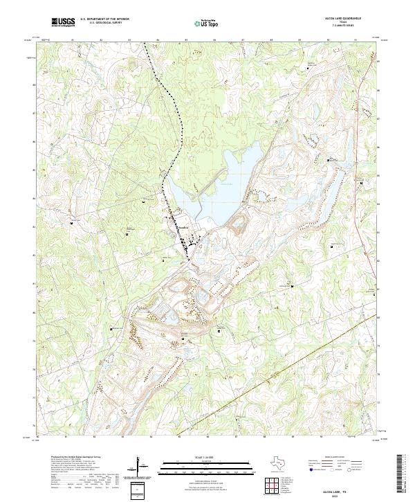 2022 Alcoa Lake2022 Print · USGSMilam and Lee counties in central Texas are shown here in the 2020s, revealing a landscape of family-named cemeteries and rural roads. Genealogists can trace family heritage at Hamilton Chapel Cem, Keen Cem, and Simmons - Jones Cem near Sandow.
 - 2022 Map of Fedor, 2022 Print
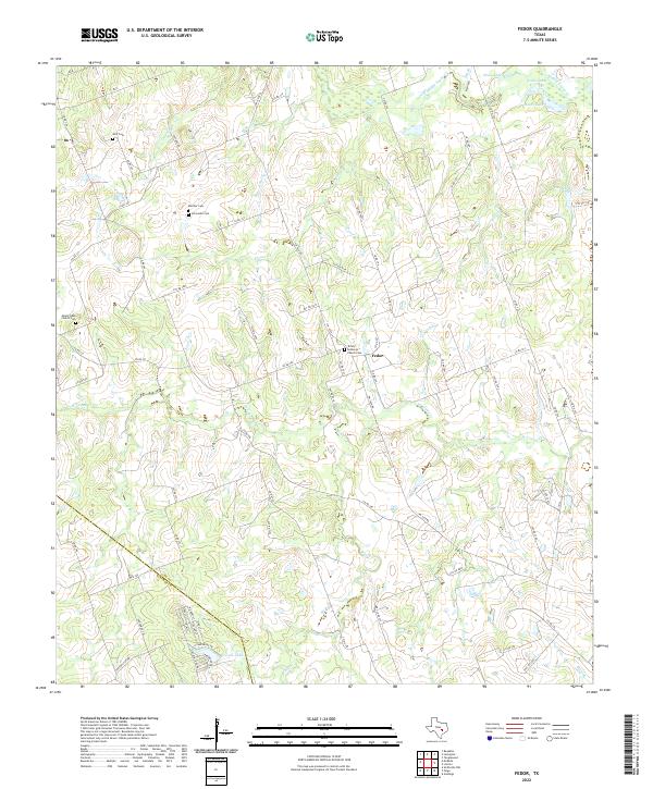 2022 Fedor2022 Print · USGSLee County's rural heritage is preserved in this contemporary survey of the settlements near the Bastrop county line. Genealogists can locate family burial sites at Schroeder Cem and Wolf Cem or trace the drainage of W Yegua Cr and Bluff Cr.
 - 2022 Map of Lexington, 2022 Print
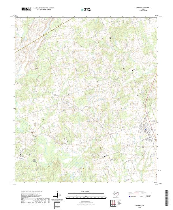 2022 Lexington2022 Print · USGSLexington and the surrounding Lee County countryside are documented here in the early twenty-first century, showcasing a landscape deeply rooted in local family history. Researchers can locate numerous rural burial sites including Guthrie Cem Old, Phears Cem, and Mesquite Cem alongside landmarks like Cotton Patch Airport.
 - 2022 Map of Beaukiss, 2022 Print
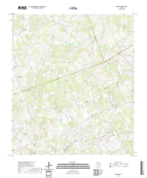 2022 Beaukiss2022 Print · USGSEastern Williamson and Lee counties are mapped here in the early twenty-first century, showcasing a landscape of rural crossroads and family-named creek branches. Genealogists can locate ancestral sites at Lawrence Chapel Cem, Beaukiss Cem, and the settlement of Blue.
 - 2022 Map of Paige, 2022 Print
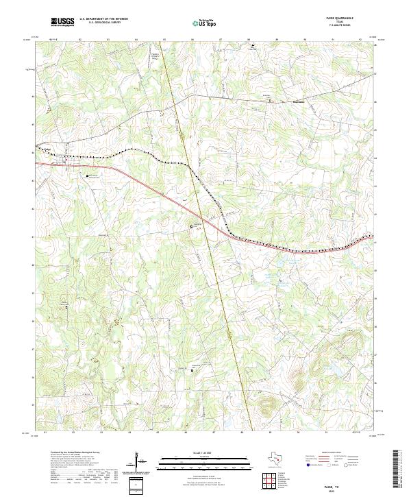 2022 Paige2022 Print · USGSSettlement along the Lee and Bastrop county line centers on rural crossroads in the early twenty-first century. Genealogists can locate family landmarks like Brown Family Cem and Grassyville Cem near the banks of Rabbs Cr.
 - 2022 Map of Structure, 2022 Print
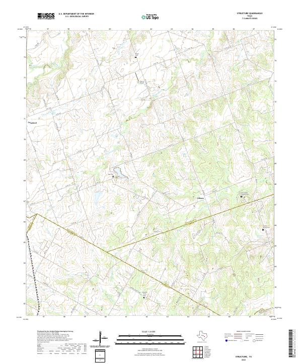 2022 Structure2022 Print · USGSThe rural crossroads of Williamson and Bastrop counties are captured here in the modern era, showing a landscape defined by creeks and family land. Genealogists can locate several historic burial grounds like Mager Cem and the community at Lawhon Springs.
 - 2022 Map of McDade, 2022 Print
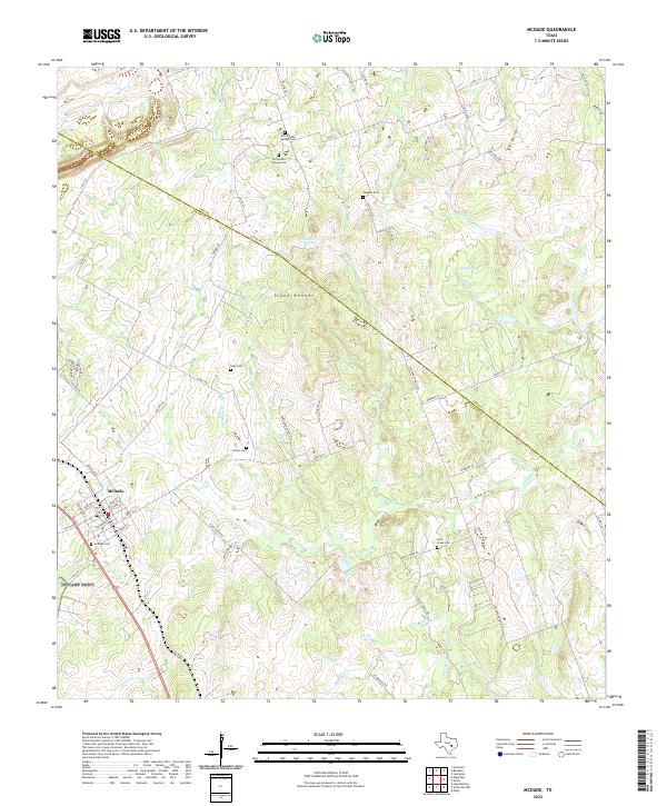 2022 McDade2022 Print · USGSThe crossroads of Bastrop and Lee counties are captured here in the modern era, showing the resilient ranching landscape around McDade. Genealogists can trace family heritage through numerous rural burial sites like Siloah Cem, Dube Cem, and Sanders Cem.
End of results
Showing maps 1-20 of 20
Top cities of Lee County
Frequently asked questions
- What are the different types of historical maps available for Lee County?
- What is the oldest map of Lee County?
- Where can I purchase historical maps of Lee County for my home or office?
- Where can I download high-res historical maps of Lee County?
- Are there historical topographic maps available for Lee County?
- Is there historical aerial imagery available for Lee County?
- Where are historical maps of Lee County sourced from?