2000s (21st Century) Maps of Lee County, Texas
Explore 100 historic maps of Lee County from the 2000s (21st Century). These maps offer a rare glimpse into what life looked like during the 2000s — showing old roads, neighborhoods, homes, and landmarks that have changed or disappeared over time.
Whether you're researching your family's past, planning a metal detecting trip, or studying how Lee County's landscape evolved across the 2000s, these high-resolution maps are a powerful tool for exploring the history of this region.
- Focus on a specific era: All maps on this page are from the 2000s, giving you a focused view of this time period.
- See what’s changed: Compare century-old streets, trails, and buildings to today's modern landscape using overlays and satellite layers.
- Research with precision: Use these maps for genealogy, historical research, land use analysis, or educational projects.
- View, download, or print: Maps are fully viewable online in high resolution, and can be downloaded or printed for your own records.
Start exploring Lee County's history through authentic maps from the 2000s. This is your window into the past.
Lee County, TX maps
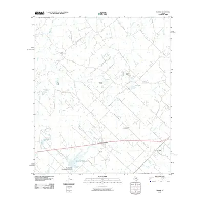
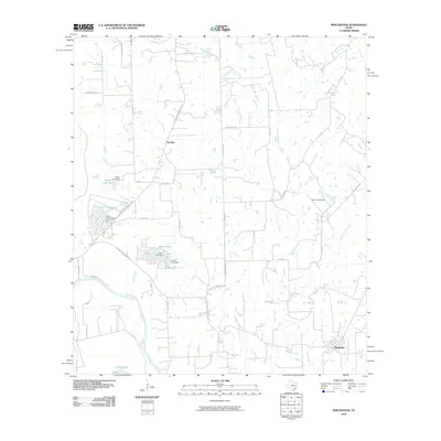
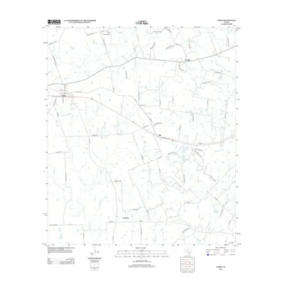
(100)- 2010 Map of Lexington, 2010 Print
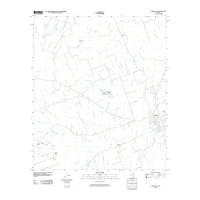 2010 Lexington2010 Print · USGSCovers Lee County, including Lexington, Germania, and other nearby areas
 - 2010 Map of Tanglewood, 2010 Print
 2010 Tanglewood2010 Print · USGSCovers Lee County, including Lexington, Tanglewood, and other nearby areas
 - 2010 Map of Ledbetter, 2010 Print
 2010 Ledbetter2010 Print · USGSCovers Lee County, including Ledbetter, Washington County, and other nearby areas
 - 2010 Map of Deanville, 2010 Print
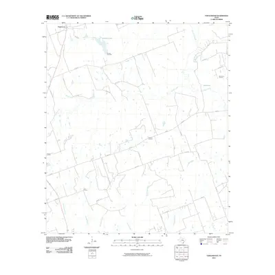
 2010 Deanville2010 Print · USGSCovers Lee County, including Old Dime Box, Hogg, and other nearby areas
 - 2010 Map of Dime Box, 2010 Print
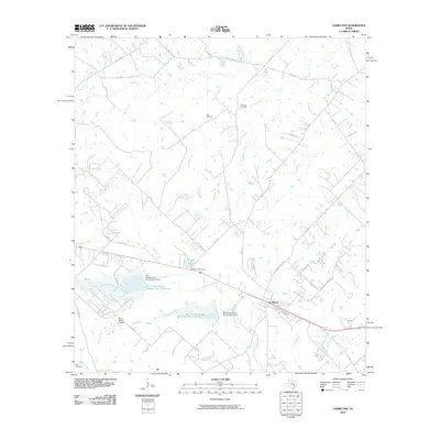
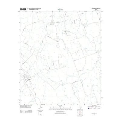
 2010 Dime Box2010 Print · USGSCovers Lee County, including Antioch, Dime Box, and other nearby areas
 - 2010 Map of Flag Pond, 2010 Print
 2010 Flag Pond2010 Print · USGSCovers Lee County, including Post Oak, Washington County, and other nearby areas
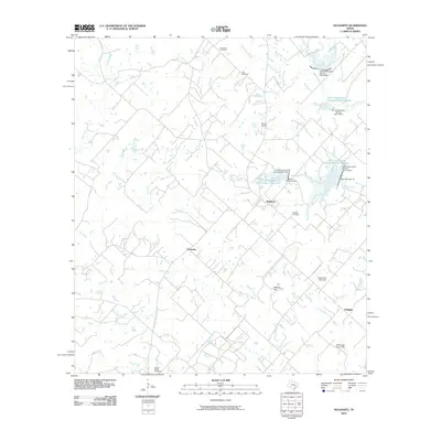
 - 2010 Map of Paige, 2010 Print
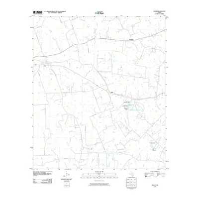 2010 Paige2010 Print · USGSCovers Lee County, including Manheim, Grassyville, and other nearby areas
 - 2010 Map of Hicks, 2010 Print
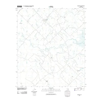
 2010 Hicks2010 Print · USGSCovers Lee County, including Hicks, Forest Grove, and other nearby areas
 - 2010 Map of McDade, 2010 Print
 2010 McDade2010 Print · USGSCovers Lee County, including McDade, Knobbs Springs, and other nearby areas
 - 2010 Map of Lincoln, 2010 Print
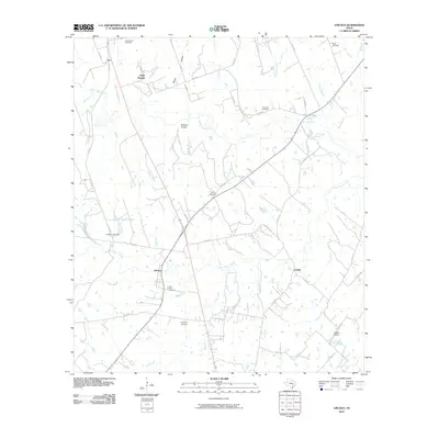 2010 Lincoln2010 Print · USGSCovers Lee County, including Doak Springs, Leo, and other nearby areas
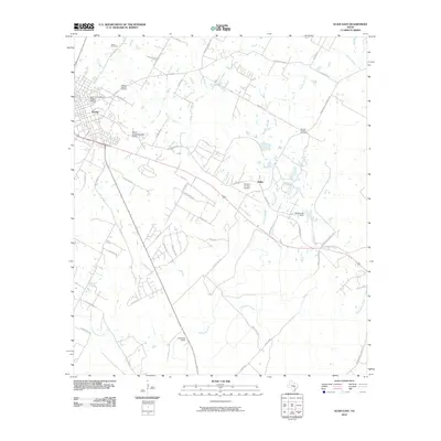
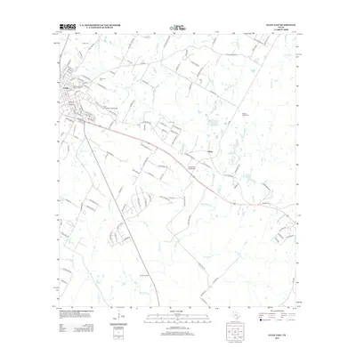
 - 2010 Map of Giddings, 2010 Print
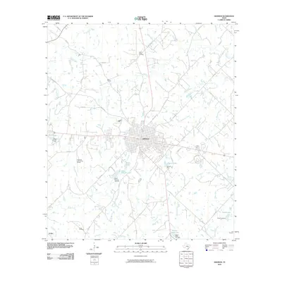 2010 Giddings2010 Print · USGSCovers Lee County, including Giddings, Serbin, and other nearby areas
 - 2010 Map of Carmine, 2010 Print
 2010 Carmine2010 Print · USGSCovers Lee County, including Carmine, La Bahia, and other nearby areas
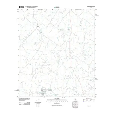
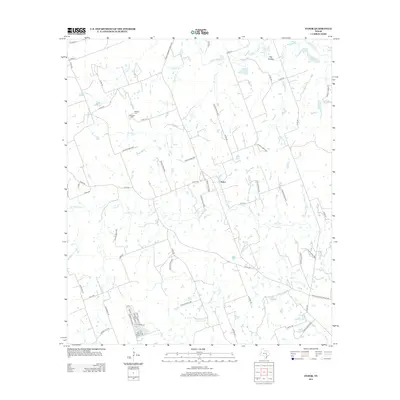
 - 2010 Map of Beaukiss, 2010 Print
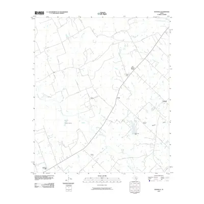
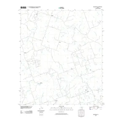 2010 Beaukiss2010 Print · USGSCovers Lee County, including Beaukiss, Lawrence Chapel, and other nearby areas
 - 2010 Map of Fedor, 2010 Print
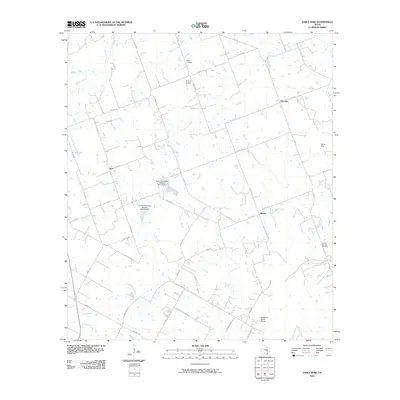
 2010 Fedor2010 Print · USGSCovers Lee County, including Fedor, Bastrop County, and other nearby areas
 - 2010 Map of Structure, 2010 Print
 2010 Structure2010 Print · USGSCovers Lee County, including Structure, Type, and other nearby areas
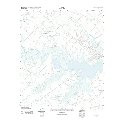
 - 2010 Map of Alcoa Lake, 2010 Print
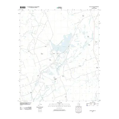 2010 Alcoa Lake2010 Print · USGSCovers Lee County, including Pleasant Hill, Sandow, and other nearby areas
 - 2010 Map of Winchester, 2010 Print
 2010 Winchester2010 Print · USGSCovers Lee County, including Smithville, Indian Lake, and other nearby areas
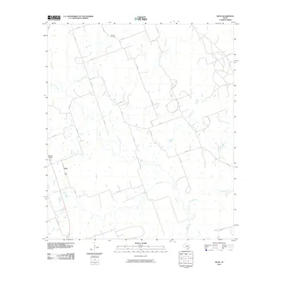
 - 2010 Map of Warda, 2010 Print
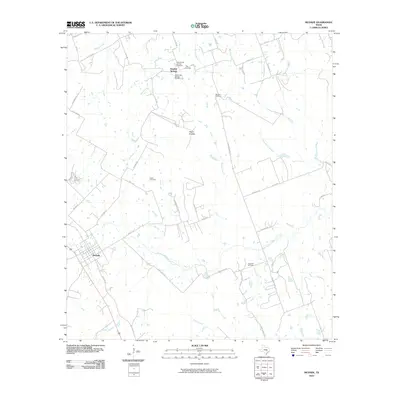
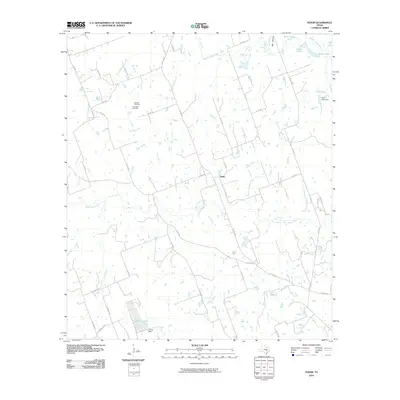
 2010 Warda2010 Print · USGSCovers Lee County, including Northrup, Warda, and other nearby areas
 - 2010 Map of Nechanitz, 2010 Print
 2010 Nechanitz2010 Print · USGSCovers Lee County, including Waldeck, Post Oak, and other nearby areas
 - 2010 Map of Elgin East, 2010 Print
 2010 Elgin East2010 Print · USGSCovers Lee County, including Elgin, Butler, and other nearby areas
 - 2012 Map of McDade, 2012 Print
 2012 McDade2012 Print · USGSCovers Lee County, including McDade, Knobbs Springs, and other nearby areas
 - 2012 Map of Paige, 2012 Print
 2012 Paige2012 Print · USGSCovers Lee County, including Manheim, Grassyville, and other nearby areas
 - 2012 Map of Fedor, 2012 Print
 2012 Fedor2012 Print · USGSCovers Lee County, including Fedor, Bastrop County, and other nearby areas
 - 2012 Map of Elgin East, 2012 Print
 2012 Elgin East2012 Print · USGSCovers Lee County, including Elgin, Butler, and other nearby areas
 - 2012 Map of Beaukiss, 2012 Print
 2012 Beaukiss2012 Print · USGSCovers Lee County, including Beaukiss, Lawrence Chapel, and other nearby areas
Showing maps 1-25 of 100
Top cities of Lee County
Frequently asked questions
- What are the different types of historical maps available for Lee County?
- What is the oldest map of Lee County?
- Where can I purchase historical maps of Lee County for my home or office?
- Where can I download high-res historical maps of Lee County?
- Are there historical topographic maps available for Lee County?
- Is there historical aerial imagery available for Lee County?
- Where are historical maps of Lee County sourced from?