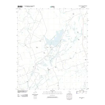
2010 Map of Alcoa Lake
USGS Topo · Published 2010About this map
Alcoa Lake and the industrial works of Alcoa and Sandow dominate the center of this Texas landscape, illustrating the intersection of natural waterways and industrial development. The impoundment created by the Alcoa Dam is fed by several tributaries, including East Yegua Creek, which cuts a path across the quadrangle. For those researching family history in Milam County, the map is a dense record of early burial sites, often found tucked away near ranch roads and creeks. These range from the Hamilton Chapel Cemetery in the north to the Beulah Cemetery in the south. The distribution of sites like Miller on Alcoa Cemetery and Millerton Cemetery suggests the deep-rooted rural communities that existed here before and alongside the industrial operations. Further east, the settlement of Forest Grove sits near the headwaters of Allen Creek.
Find a feature on this map
45 named features on this map. Tap any name to fly to it.
Don’t see what you’re looking for? This feature index may not catch every label — zoom into the map to look around manually.
Map Details
Editions of this 2010 Alcoa Lake Map
This is the sole edition of this map. No revisions or reprints were ever made.
Other maps of this area

1885 · Taylor
USGS Topo · 1:125,000

1885 · Bastrop
USGS Topo · 1:125,000

1887 · Taylor
USGS Topo · 1:125,000

1893 · Bastrop
USGS Topo · 1:125,000

1894 · Taylor
USGS Topo · 1:125,000

1904 · Bastrop
USGS Topo · 1:125,000

1919 · Dime Box
USGS Topo · 1:62,500

1948 · Lexington
USGS Topo · 1:62,500

1950 · Lexington
USGS Topo · 1:62,500

1954 · Austin
USGS Topo · 1:250,000