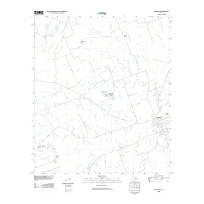
2010 Map of Lexington
USGS Topo · Published 2010About this map
Lexington serves as the focal point of this Lee County landscape, situated where several farm-to-market roads converge in the eastern portion of the map. The surrounding terrain is defined by an intricate network of waterways, most notably Middle Yegua Creek and its various tributaries like Coupland Branch and Shaw Branch. This 2010 survey highlights a rural Texas environment where small-scale infrastructure, such as the Cotton Patch Airport, exists alongside family and community landmarks.
Find a feature on this map
55 named features on this map. Tap any name to fly to it.
Don’t see what you’re looking for? This feature index may not catch every label — zoom into the map to look around manually.
Map Details
Editions of this 2010 Lexington Map
This is the sole edition of this map. No revisions or reprints were ever made.
Other maps of this area

1885 · Taylor
USGS Topo · 1:125,000

1885 · Bastrop
USGS Topo · 1:125,000

1887 · Taylor
USGS Topo · 1:125,000

1893 · Bastrop
USGS Topo · 1:125,000

1894 · Taylor
USGS Topo · 1:125,000

1904 · Bastrop
USGS Topo · 1:125,000

1919 · Dime Box
USGS Topo · 1:62,500

1948 · Lexington
USGS Topo · 1:62,500

1950 · Lexington
USGS Topo · 1:62,500

1954 · Austin
USGS Topo · 1:250,000