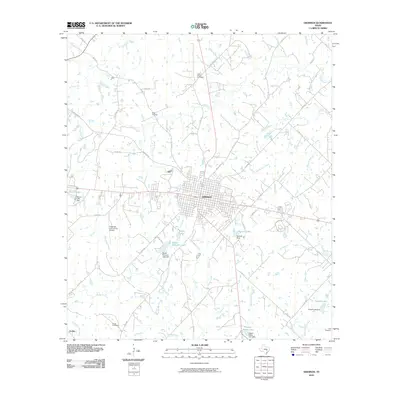
2010 Map of Giddings
USGS Topo · Published 2010About this map
Giddings serves as the focal point of this Central Texas survey, revealing the organized street grid and suburban expansion of the Lee County seat. The landscape is characterized by a dense network of creek branches, including Nails Creek, Hickory Creek, and Rabbs Creek, which drain the surrounding ranch and farm lands. This hydrology has been modified by numerous local water management projects, evidenced by features such as Walter Droemer Lake, Kasper Estate Lake, and Mantzel Lake. For local historians and genealogists, the map preserves the locations of several community landmarks and burial grounds, including the Betts Chapel Cemetery, Keng Cemetery, Noack Cemetery, and Wolf Cemetery. To the southwest, the settlement of Serbin and the Giddings-Lee County Airport mark the perimeter of the primary township, while a complex system of county roads, such as Manheim Rd and Nails Creek Rd, connects the outlying agricultural properties to the municipal center.
Find a feature on this map
67 named features on this map. Tap any name to fly to it.
Don’t see what you’re looking for? This feature index may not catch every label — zoom into the map to look around manually.
Map Details
Editions of this 2010 Giddings Map
This is the sole edition of this map. No revisions or reprints were ever made.
Other maps of this area

1885 · Bastrop
USGS Topo · 1:125,000

1893 · Bastrop
USGS Topo · 1:125,000

1904 · Bastrop
USGS Topo · 1:125,000

1919 · Giddings
USGS Topo · 1:62,500

1919 · Dime Box
USGS Topo · 1:62,500

1948 · Smithville
USGS Topo · 1:62,500

1948 · Lexington
USGS Topo · 1:62,500

1950 · Lexington
USGS Topo · 1:62,500

1950 · Smithville
USGS Topo · 1:62,500

1954 · Austin
USGS Topo · 1:250,000