2010s Maps of Lee County, Texas
Explore 80 historic maps of Lee County from the 2010s. These maps offer a rare glimpse into what life looked like during the 2010s — showing old roads, neighborhoods, homes, and landmarks that have changed or disappeared over time.
Whether you're researching your family's past, planning a metal detecting trip, or studying how Lee County's landscape evolved across the 2010s, these high-resolution maps are a powerful tool for exploring the history of this region.
- Focus on a specific era: All maps on this page are from the 2010s, giving you a focused view of this time period.
- See what’s changed: Compare century-old streets, trails, and buildings to today's modern landscape using overlays and satellite layers.
- Research with precision: Use these maps for genealogy, historical research, land use analysis, or educational projects.
- View, download, or print: Maps are fully viewable online in high resolution, and can be downloaded or printed for your own records.
Start exploring Lee County's history through authentic maps from the 2010s. This is your window into the past.
Lee County, TX maps
(80)- 2010 Map of Lexington, 2010 Print
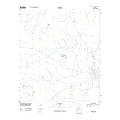 2010 Lexington2010 Print · USGSThe community of Lexington and the surrounding Lee County countryside are documented here in the early 21st century. Researchers can locate several distinct burial grounds including German Cemetery and Mundine Cemetery, or trace the winding course of Middle Yegua Creek.
 - 2010 Map of Tanglewood, 2010 Print
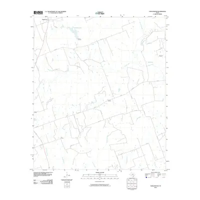 2010 Tanglewood2010 Print · USGSTanglewood and the rural outskirts of Lee County are documented here in the early twenty-first century, showing a landscape defined by creeks and family heritage. Genealogists and historians can locate sites like Mount Zion Cemetery, Lyles Cemetery, and Phinney Lake Dam.
 - 2010 Map of Ledbetter, 2010 Print
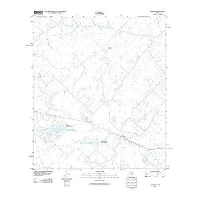 2010 Ledbetter2010 Print · USGSLedbetter and the surrounding Fayette County ranch lands are documented here in the early twenty-first century. Researchers can trace family history at the Atkinson Cemetery and Wolf Cemetery or locate landmarks like the Bar S Ranch Airport and Goerlitz Lake.
 - 2010 Map of Deanville, 2010 Print
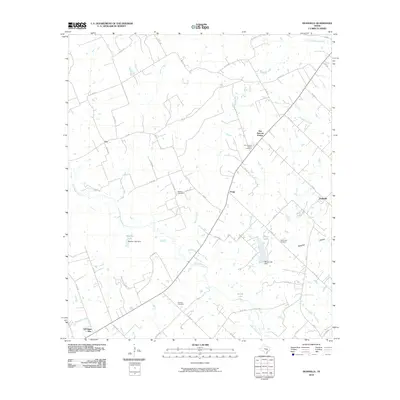 2010 Deanville2010 Print · USGSThe rural stretches of Lee County are captured here in the early twenty-first century, showing a network of small Texas settlements and family-named landmarks. Researchers can locate several burial grounds, including Hranice Cemetery, and trace the paths of East Yegua Creek and Buffalo Creek.
 - 2010 Map of Dime Box, 2010 Print
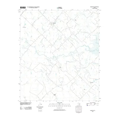 2010 Dime Box2010 Print · USGSLee County's rural landscape is captured here during the first decade of the new millennium, centered on the historic community of Dime Box. Local researchers can trace family connections at High Prairie Cemetery, Salem Cemetery, and the smaller settlement of Sweet Home.
 - 2010 Map of Flag Pond, 2010 Print
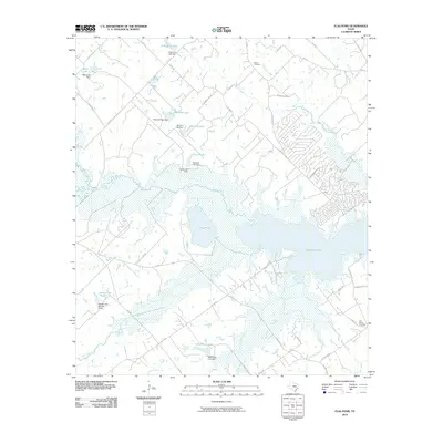 2010 Flag Pond2010 Print · USGSThe rural expanses near Somerville Lake come into focus during the early 2000s, showing a landscape shaped by water and wood. Researchers can locate family landmarks like Birch Cemetery, Flat Prairie Cemetery, and several private reservoirs including Schindler Lake.
 - 2010 Map of Paige, 2010 Print
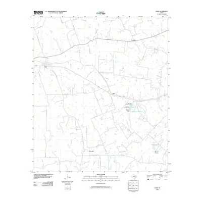 2010 Paige2010 Print · USGSThis Lee County landscape shows the rural settlement patterns of central Texas at the start of the 2010s. Researchers can trace family history through local landmarks like Friendship Cemetery Rd and the small communities of Grassyville and Manheim.
 - 2010 Map of Hicks, 2010 Print
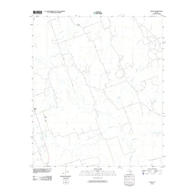 2010 Hicks2010 Print · USGSLee County near Hicks is captured here as a landscape of rural industry and winding waterways during the early twenty-first century. Genealogists and local historians can locate the Harmony Cemetery or trace the impact of local extraction at the Hicks Mine.
 - 2010 Map of McDade, 2010 Print
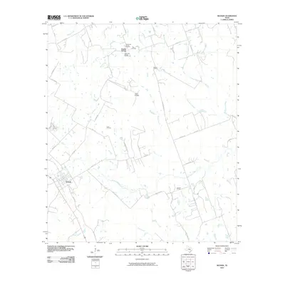 2010 McDade2010 Print · USGSMcDade and the surrounding Bastrop County uplands are captured here in the early 21st century, showing a landscape defined by cattle ranching and seasonal creeks. Family historians can locate several burial sites including Dube Cemetery and High Hill Cemetery near the distinctive Yegua Knobbs.
 - 2010 Map of Lincoln, 2010 Print
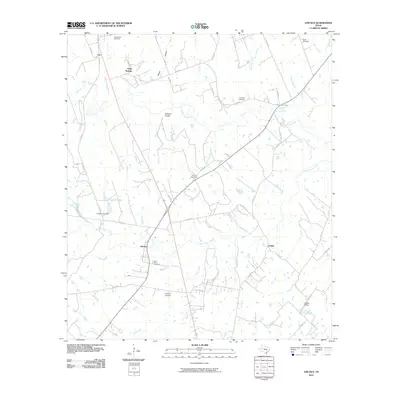 2010 Lincoln2010 Print · USGSLee County near the turn of the decade shows a landscape of creek-side settlements and family heritage sites. Genealogists and historians can trace the rural layout of Lincoln and Loebau, or locate burial sites at Saint Peters Cemetery and Gloyna Cemetery.
 - 2010 Map of Giddings, 2010 Print
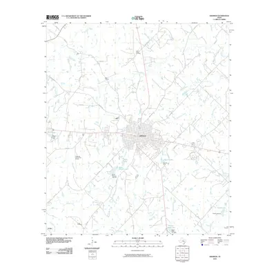 2010 Giddings2010 Print · USGSGiddings and the surrounding Lee County ranch lands are detailed here during a period of steady modern growth. Researchers can trace family sites near Betts Chapel Cemetery and Wolf Cemetery or locate landmarks like the Giddings-Lee County Airport and Serbin.
 - 2010 Map of Carmine, 2010 Print
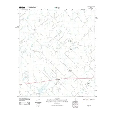 2010 Carmine2010 Print · USGSThe rural landscape of Fayette County is captured in this 2010 survey, centered on the community of Carmine and the historic area of La Bahia. Family historians can trace ancestral lands and local landmarks like Hartstack Cemetery, Homeymeyer Mountain, and Schoenberg Lake.
 - 2010 Map of Beaukiss, 2010 Print
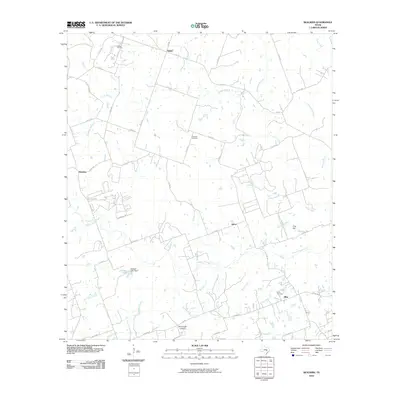 2010 Beaukiss2010 Print · USGSThis part of Williamson County was still a landscape of quiet crossroads and winding creek branches at the start of the decade. Genealogists and local historians can locate family burial sites like Guentzel Cemetery or trace the rural economy of Beaukiss and the Abbott Oil Field.
 - 2010 Map of Fedor, 2010 Print
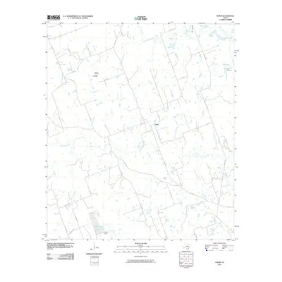 2010 Fedor2010 Print · USGSFedor and the surrounding Lee County countryside are documented here at the start of the 2010s, showing a landscape shaped by the Yegua Creek forks. Researchers can locate family sites at Melcher Cemetery and Schroeder Cemetery or trace the drainage of Middle Yegua Creek and Lincoln Lake.
 - 2010 Map of Structure, 2010 Print
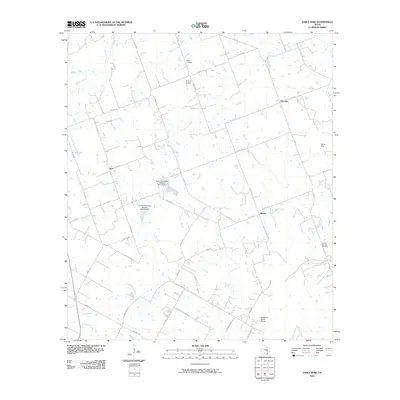 2010 Structure2010 Print · USGSThe rural Williamson County landscape is captured here in the early twenty-first century, showing a network of ranch roads and winding creeks. Researchers can locate family landmarks such as Mager Cemetery and Lawhon Springs Cemetery or the small settlements of Structure and Siloam.
 - 2010 Map of Alcoa Lake, 2010 Print
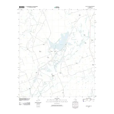 2010 Alcoa Lake2010 Print · USGSMilam County as it appeared a decade ago shows a landscape where industrial footprints and early Texas history coexist. Genealogists can locate over a dozen family burial grounds including Hamilton Chapel Cemetery, Millerton Cemetery, and Beulah Cemetery.
 - 2010 Map of Winchester, 2010 Print
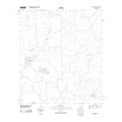 2010 Winchester2010 Print · USGSThe rural landscapes around Winchester and Pin Oak are captured here during the first decade of the 2000s. Genealogists and researchers can trace local landmarks like Madison Ranch, Shipp Lake, and the various crossings along the Colorado River.
 - 2010 Map of Warda, 2010 Print
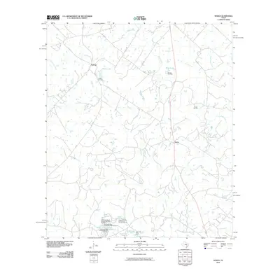 2010 Warda2010 Print · USGSTexas ranchlands and small-town crossroads define this area of Lee County during the early twenty-first century. Genealogists and local historians can trace family roots at Foerster Cemetery or locate landmarks like Walker Lake and the rural settlement of Northrup.
 - 2010 Map of Nechanitz, 2010 Print
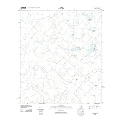 2010 Nechanitz2010 Print · USGSFayette County settlement and agricultural water management are well-documented here during the early twenty-first century. Researchers can trace family roots at Waldeck Cemetery or locate landmarks like the Ullrich Airport and Nechanitz.
 - 2010 Map of Elgin East, 2010 Print
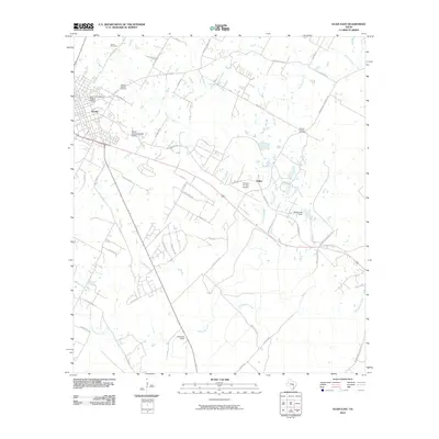 2010 Elgin East2010 Print · USGSElgin and its eastern rural expanses are shown here during the early twenty-first century as modern infrastructure and historic landmarks coexist. Researchers can trace local heritage at the Elgin Commercial Historic District or locate family plots at Smith Cemetery and Morgan Chapel Cemetery.
 - 2012 Map of McDade, 2012 Print
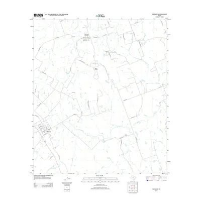 2012 McDade2012 Print · USGSMcDade and the rural northern reaches of Bastrop County are captured here just over a decade ago. Genealogists can trace family heritage through numerous country burial grounds such as Old Knobbs Springs Cem, Dube Cem, and High Hill Cem.
 - 2012 Map of Paige, 2012 Print
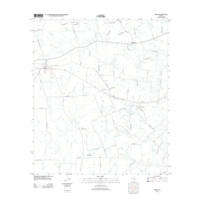 2012 Paige2012 Print · USGSLee County life at the start of the 2010s is centered on the rural junctions of Paige and Manheim among the many forks of Rabbs Cr. Genealogists and local historians can trace the paths of Gotier Trace Rd and locate family landmarks like Domaschk-Biar Lake.
 - 2012 Map of Fedor, 2012 Print
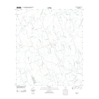 2012 Fedor2012 Print · USGSLee County's rural landscape near the turn of the decade is defined by the branching Yegua Creek system and the small settlement of Fedor. Genealogists and local historians can locate family landmarks like Melcher Cem and Schroeder Cem among the winding roads.
 - 2012 Map of Elgin East, 2012 Print
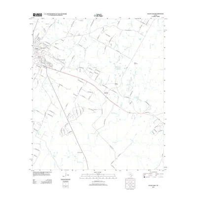 2012 Elgin East2012 Print · USGSElgin and the surrounding Central Texas prairies are mapped here in the early twenty-first century as the city's historic core meets rural ranch land. Researchers can locate family sites at Mt Moriah Cem and Morgan Chapel Cem or trace the drainage of Big Sandy Cr.
 - 2012 Map of Beaukiss, 2012 Print
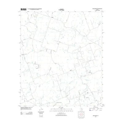 2012 Beaukiss2012 Print · USGSBeaukiss and the rural crossroads of Williamson County are shown here in the early twenty-first century. Researchers can trace family history through sites like Guentzel Cem and Burns Cem or locate the Abbott Oil Field and Wood Triple D Airport.
Showing maps 1-25 of 80
Top cities of Lee County
Frequently asked questions
- What are the different types of historical maps available for Lee County?
- What is the oldest map of Lee County?
- Where can I purchase historical maps of Lee County for my home or office?
- Where can I download high-res historical maps of Lee County?
- Are there historical topographic maps available for Lee County?
- Is there historical aerial imagery available for Lee County?
- Where are historical maps of Lee County sourced from?