2010s Maps of Live Oak County, Texas
Explore 108 historic maps of Live Oak County from the 2010s. These maps offer a rare glimpse into what life looked like during the 2010s — showing old roads, neighborhoods, homes, and landmarks that have changed or disappeared over time.
Whether you're researching your family's past, planning a metal detecting trip, or studying how Live Oak County's landscape evolved across the 2010s, these high-resolution maps are a powerful tool for exploring the history of this region.
- Focus on a specific era: All maps on this page are from the 2010s, giving you a focused view of this time period.
- See what’s changed: Compare century-old streets, trails, and buildings to today's modern landscape using overlays and satellite layers.
- Research with precision: Use these maps for genealogy, historical research, land use analysis, or educational projects.
- View, download, or print: Maps are fully viewable online in high resolution, and can be downloaded or printed for your own records.
Start exploring Live Oak County's history through authentic maps from the 2010s. This is your window into the past.
Live Oak County, TX maps
(108)- 2010 Map of Coy City, 2010 Print
 2010 Coy City2010 Print · USGSCoy City and the surrounding Karnes County ranch lands are documented here in the early twenty-first century. Researchers can trace the local energy economy at the Coy City Gas Field and identify family-named landmarks like Weddington Lake Number 1 and Mexican Hollow.
 - 2010 Map of Fashing, 2010 Print
 2010 Fashing2010 Print · USGSFashing and the South Texas brush country are shown here in the early twenty-first century as centers of energy production. Genealogists and researchers can trace local family landmarks like Brister Cemetery, Fashing Cemetery, and the Weigang Oil Field.
 - 2010 Map of Elm Creek, 2010 Print
 2010 Elm Creek2010 Print · USGSLive Oak County, Texas, is shown here in the early twenty-first century as a land shaped by its intermittent watercourses and ranching heritage. Researchers can trace the drainage of Leopard Creek and locate livestock landmarks like Agarita Tank and Alamo Tank Dam.
 - 2010 Map of Anna Rose, 2010 Print
 2010 Anna Rose2010 Print · USGSCoastal plains ranch land in South Texas is mapped here during a period of active oil extraction and water management. Genealogists and local historians can trace family-named sites like Freeborn Ranch or the many windmills, including Laguna Windmill and Calabaza Windmill.
 - 2010 Map of George West, 2010 Print
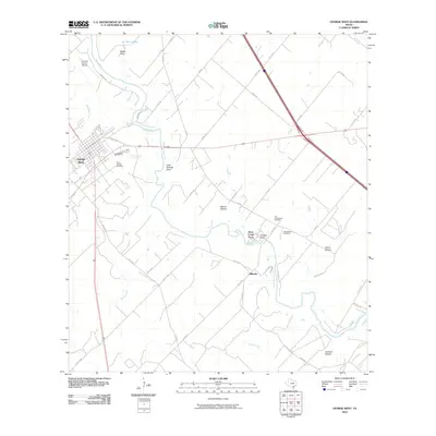 2010 George West2010 Print · USGSGeorge West and the winding Nueces River valley are captured here in the early twenty-first century, showing the established rural landscape of Live Oak County. Genealogists can locate several historic burial sites, including Old Gussettville Cemetery, Gussettville Cemetery, and Saint George Cemetery.
 - 2010 Map of Three Rivers, 2010 Print
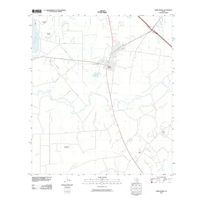 2010 Three Rivers2010 Print · USGSLive Oak County at the turn of the millennium centered on the vital convergence of three rivers as ranching and energy production shaped the local economy. Genealogists and local historians can trace the roads around Three Rivers, locate the small community of Ike, or find industrial sites like the Oakville-Wilcox Gas Field.
 - 2010 Map of Pawnee, 2010 Print
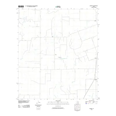 2010 Pawnee2010 Print · USGSThe ranchlands of Live Oak County appear here in the early twenty-first century, showing a landscape shaped by rural roads and creek drainages. Genealogists can trace the location of community burial sites at Nell Cemetery and Pawnee Cemetery or explore the settlements of Nell and El Oso.
 - 2010 Map of Clegg, 2010 Print
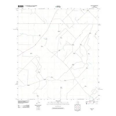 2010 Clegg2010 Print · USGSLive Oak County ranchlands are documented here at the turn of the millennium, showing a landscape defined by cattle operations and water management. Researchers can trace family land via Clegg Ranch and Martin Ranch, or locate sites like Clegg Cemetery and the Mala Suerte Windmill.
 - 2010 Map of Mineral, 2010 Print
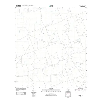 2010 Mineral2010 Print · USGSMineral and its surrounding Bee County ranchlands are shown here at a time when energy production dominated the rural landscape. Researchers can locate specific sites like the Mineral Gas Field, Mineral Cemetery, and the Meyer Ranch Airport.
 - 2010 Map of Clegg NE, 2010 Print
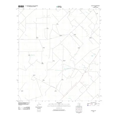 2010 Clegg NE2010 Print · USGSThis South Texas ranchland is documented in the early 21st century as a landscape shaped by livestock and water. Researchers can trace the boundaries of legacy properties like Lyne Ranch and locate numerous named wells including Jaboncillo Windmill and Aqua Sola Windmill.
 - 2010 Map of Mulos Hills, 2010 Print
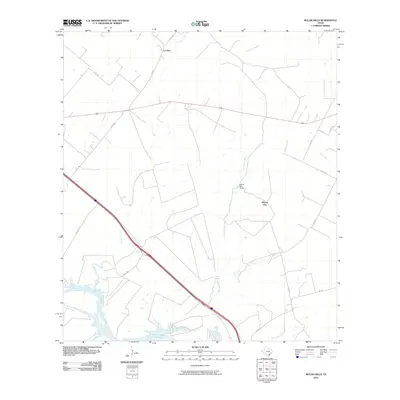 2010 Mulos Hills2010 Print · USGSBee County ranching and water rights define this South Texas landscape during the early twenty-first century. Researchers can trace land use patterns near Mulos Hills Ranch and follow the northern tip of Lake Corpus Christi along the Nueces River.
 - 2010 Map of Ray Point, 2010 Print
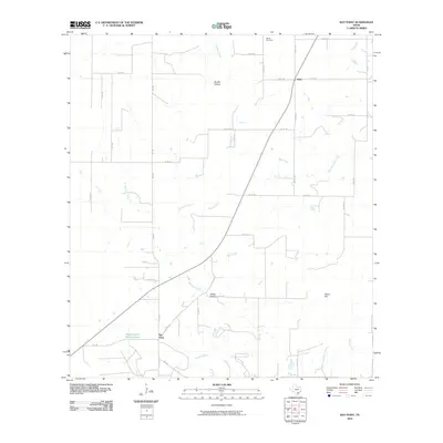 2010 Ray Point2010 Print · USGSBee County land near the turn of the decade reveals a landscape defined by ranching roads and shifting creeks. Genealogists can locate Wernli Cemetery or trace the early paths around Oaks and Ray Point near the waters of Mustang Creek.
 - 2010 Map of Crater Ridge, 2010 Print
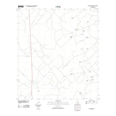 2010 Crater Ridge2010 Print · USGSLive Oak County's ranchlands are depicted here in the early 21st century, showing a landscape defined by cattle ranching and energy extraction. Researchers can trace land use through cattle tanks like Huisache Tank and energy sites like the Hall Ranch Oil Field.
 - 2010 Map of Sandia, 2010 Print
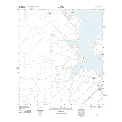 2010 Sandia2010 Print · USGSLake Corpus Christi and the surrounding South Texas ranch lands are captured here in a period of growing shoreline development. Genealogists and local historians can trace family-named sites like Wade Cemetery and the historic Old Casa Blanca Fort.
 - 2010 Map of Calliham, 2010 Print
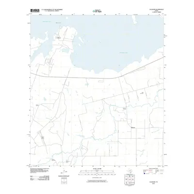 2010 Calliham2010 Print · USGSThe Nueces River valley in Live Oak County is captured here at a time when ranching and energy extraction defined the local economy. Genealogists and researchers can locate Simmons Cemetery and trace the proximity of Calliham to the Callham Oil Field.
 - 2010 Map of Cadiz, 2010 Print
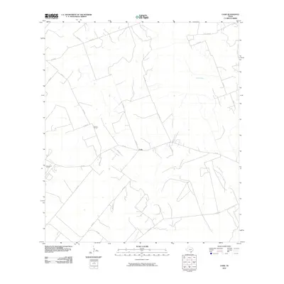 2010 Cadiz2010 Print · USGSThe rural landscape of Bee County in the early 21st century comes into focus through this survey of the South Texas Plains. Genealogists and local historians can locate the Lebanon Cemetery and trace the drainage of Poesta Creek and La Para Creek near the Cadiz settlement.
 - 2010 Map of Peggy, 2010 Print
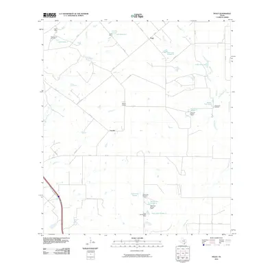 2010 Peggy2010 Print · USGSAtascosa County ranching country is mapped here in the early twenty-first century, showing the intricate system of dams and reservoirs vital to the region. Researchers can trace land use through features like Esseville, Hacienda de la Tordilla, and the Lipan Hills.
 - 2010 Map of Willow Hollow Tank, 2010 Print
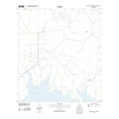 2010 Willow Hollow Tank2010 Print · USGSAtascosa County in the early twenty-first century shows a landscape defined by the energy industry and water management. Researchers can trace the layout of the Jacob Oil Field and locate landmarks like Willow Hollow Tank or Yarbrough Lake.
 - 2010 Map of Comanche Hills, 2010 Print
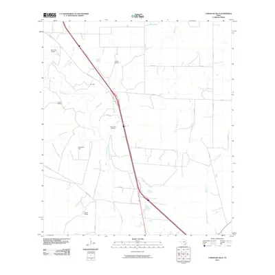 2010 Comanche Hills2010 Print · USGSLive Oak County, Texas, is shown in the early twenty-first century as a landscape of intermittent creeks and rural hollows. Researchers can trace the drainage of the Atascosa River and locate local landmarks like Suniland and the Comanche Hills.
 - 2010 Map of Oakville SW, 2010 Print
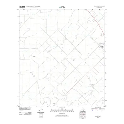 2010 Oakville SW2010 Print · USGSGeorge West and the surrounding Live Oak County plains appear at the height of modern energy production in this 2010 survey. Researchers can trace the layout of extensive oil works like Maxine East Oil Field and local landmarks such as Katzfey Lake and Spring Creek.
 - 2010 Map of Clareville, 2010 Print
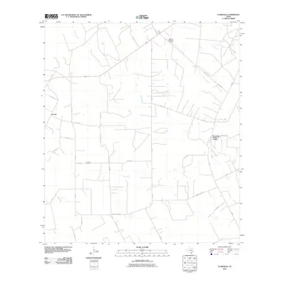 2010 Clareville2010 Print · USGSBee County agricultural lands and rural crossroads are captured here during the first decade of the millennium. Genealogists and local historians can locate San Pedro Cemetery and trace family-named routes like Kinkler Ln or Amador Ramirez Ln.
 - 2010 Map of Live Oak Hollow, 2010 Print
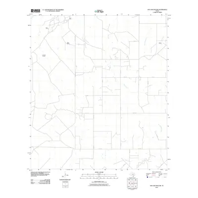 2010 Live Oak Hollow2010 Print · USGSLive Oak County at the turn of the decade reveals a landscape where petroleum production and rural ranching meet. Researchers can trace land use through features like Ezzell Oil Field, Ezzell Camp, and the winding path of Live Oak Creek.
 - 2010 Map of Oakville, 2010 Print
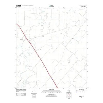 2010 Oakville2010 Print · USGSLive Oak County at the turn of the decade reveals a landscape shaped by energy production and the winding Nueces River. Genealogists and local historians can trace family-named landmarks and rural infrastructure from Oakville to the Karon Gas Field and Graveyard Hollow.
 - 2010 Map of Dinero, 2010 Print
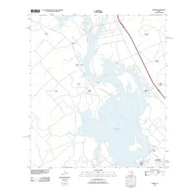 2010 Dinero2010 Print · USGSThe South Texas shoreline of Lake Corpus Christi is captured here in the early twenty-first century as modern developments began to flank the water. Researchers can locate family landmarks like Wright Cemetery, Dinero, and Mount Lucas.
 - 2010 Map of Whitsett, 2010 Print
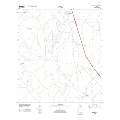 2010 Whitsett2010 Print · USGSThe rural ranchlands of Atascosa and Live Oak counties are documented here in the early twenty-first century. Genealogists and local historians can trace family landholdings and water features across the Seventy-Four Ranch, Tom Ranch, and the settlement at Whitsett.
Showing maps 1-25 of 108
Top cities of Live Oak County
Frequently asked questions
- What are the different types of historical maps available for Live Oak County?
- What is the oldest map of Live Oak County?
- Where can I purchase historical maps of Live Oak County for my home or office?
- Where can I download high-res historical maps of Live Oak County?
- Are there historical topographic maps available for Live Oak County?
- Is there historical aerial imagery available for Live Oak County?
- Where are historical maps of Live Oak County sourced from?