2020s Maps of Live Oak County, Texas
Explore 27 historic maps of Live Oak County from the 2020s. These maps offer a rare glimpse into what life looked like during the 2020s — showing old roads, neighborhoods, homes, and landmarks that have changed or disappeared over time.
Whether you're researching your family's past, planning a metal detecting trip, or studying how Live Oak County's landscape evolved across the 2020s, these high-resolution maps are a powerful tool for exploring the history of this region.
- Focus on a specific era: All maps on this page are from the 2020s, giving you a focused view of this time period.
- See what’s changed: Compare century-old streets, trails, and buildings to today's modern landscape using overlays and satellite layers.
- Research with precision: Use these maps for genealogy, historical research, land use analysis, or educational projects.
- View, download, or print: Maps are fully viewable online in high resolution, and can be downloaded or printed for your own records.
Start exploring Live Oak County's history through authentic maps from the 2020s. This is your window into the past.
Live Oak County, TX maps
(27)- 2022 Map of Mineral, 2022 Print
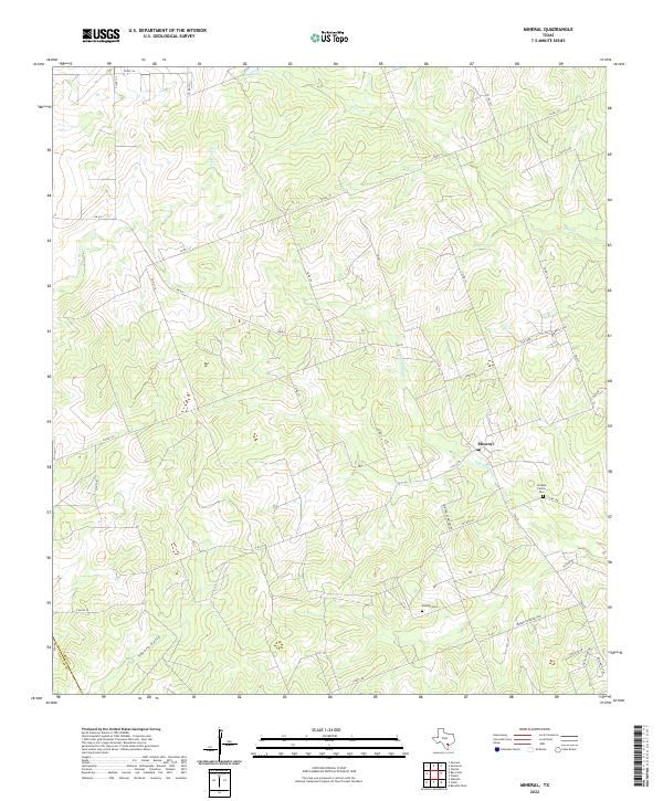 2022 Mineral2022 Print · USGSThe Bee County ranchlands are captured here in the early twenty-first century, showing the rural crossroads of Mineral. Genealogists and local historians can trace family sites like the Arrisola Family Cem or follow the paths of San Domingo Cr and Vatoss Gully.
 - 2022 Map of Clareville, 2022 Print
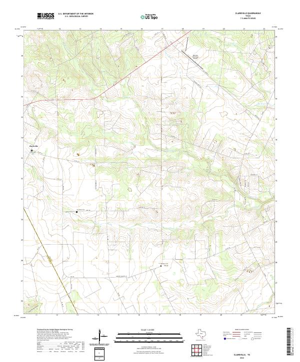 2022 Clareville2022 Print · USGSThe rural landscapes of Bee County come into focus in this contemporary survey of the South Texas brush country. Genealogists and local historians can trace family roots through sites like Clareville Cem, San Pedro Cem, and the watercourses of Aransas Cr.
 - 2022 Map of Cadiz, 2022 Print
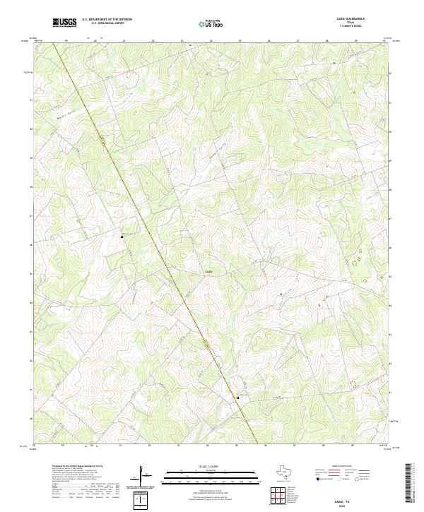 2022 Cadiz2022 Print · USGSSouth Texas ranching country near the Bee County line comes into focus in this contemporary survey. Researchers can trace family history at the Lebanon Cem and La Para Cem or follow the paths of Waller Gully and Aransas Cr.
 - 2022 Map of Three Rivers, 2022 Print
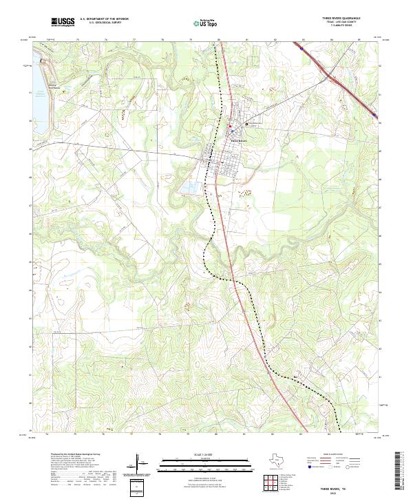 2022 Three Rivers2022 Print · USGSThree Rivers is shown here in the 2020s at the major confluence of the Atascosa, Frio, and Nueces Rivers. Genealogists and local historians can trace the town grid and find the Three Rivers Cem or the smaller community of Ike to the south.
 - 2022 Map of Fashing, 2022 Print
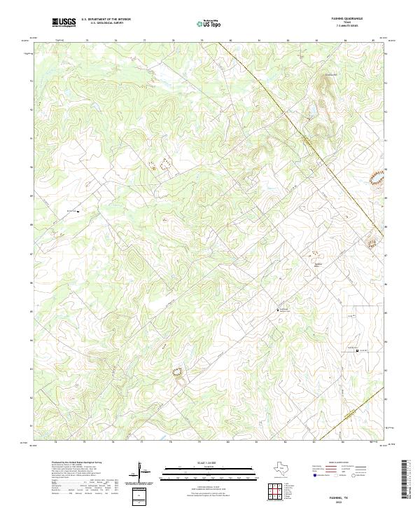 2022 Fashing2022 Print · USGSThe brush country at the junction of Atascosa, Karnes, and Live Oak counties is captured here in its modern rural character. Genealogists and local researchers can locate family landmarks such as Fashing Cem, Brister Cem, and the high ground of Tordillo Hill.
 - 2022 Map of Coy City, 2022 Print
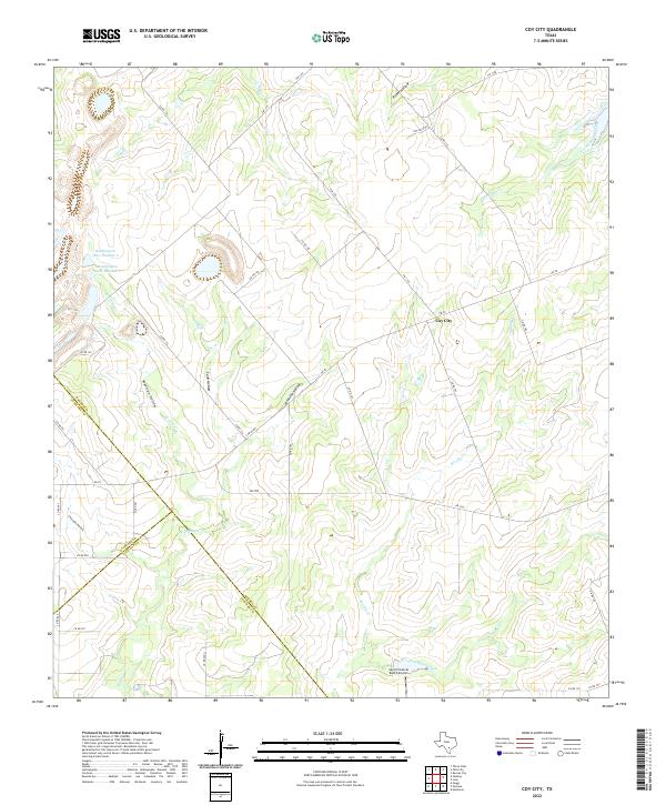 2022 Coy City2022 Print · USGSCoy City and the tri-county corner of Karnes, Atascosa, and Live Oak are captured here in the early 2020s. Researchers can trace the drainage patterns of San Christoval Creek or locate landmarks like the San Christoval Ranch Airport and Weddington Lake Number 1.
 - 2022 Map of Oakville, 2022 Print
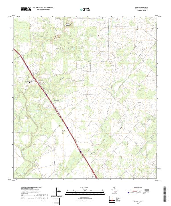 2022 Oakville2022 Print · USGSLive Oak County, Texas, is captured here in a period of rural ranching and modern highway expansion. Genealogists and local historians can trace family roots through sites like Oakville Cemetery and Ray Point Cemetery while exploring the banks of the Nueces River.
 - 2022 Map of Comanche Hills, 2022 Print
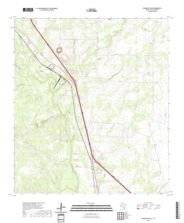 2022 Comanche Hills2022 Print · USGSLive Oak County, Texas, is captured in this recent survey, showcasing a landscape of winding rivers and named ranchland hollows. Researchers can trace the Atascosa River and locate features like Comanche Hills, House Lake, and Brush Pen Hollow.
 - 2022 Map of Ray Point, 2022 Print
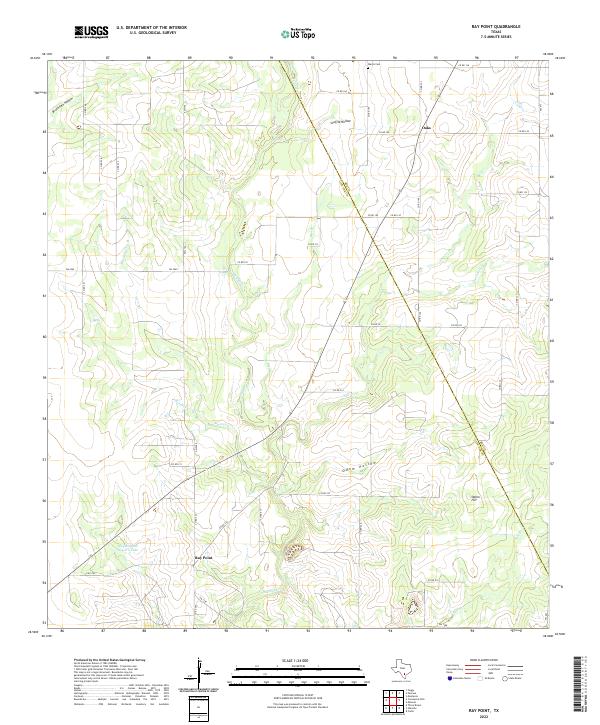 2022 Ray Point2022 Print · USGSCoastal Plain ranchlands and small communities in Live Oak County come into focus during the early 2000s. Researchers can trace family history at the Wernli Cem or follow the winding courses of Sulphur Cr and Mustang Cr.
 - 2022 Map of Anna Rose, 2022 Print
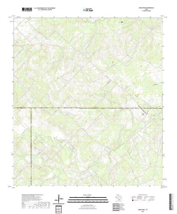 2022 Anna Rose2022 Print · USGSSouth Texas ranch lands at the convergence of Live Oak, Duval, and Jim Wells counties are mapped here in the early twenty-first century. Genealogists and local historians can trace family-named landmarks like Latham Cem or the isolated Floyd Ranch Airport.
 - 2022 Map of Oakville SW, 2022 Print
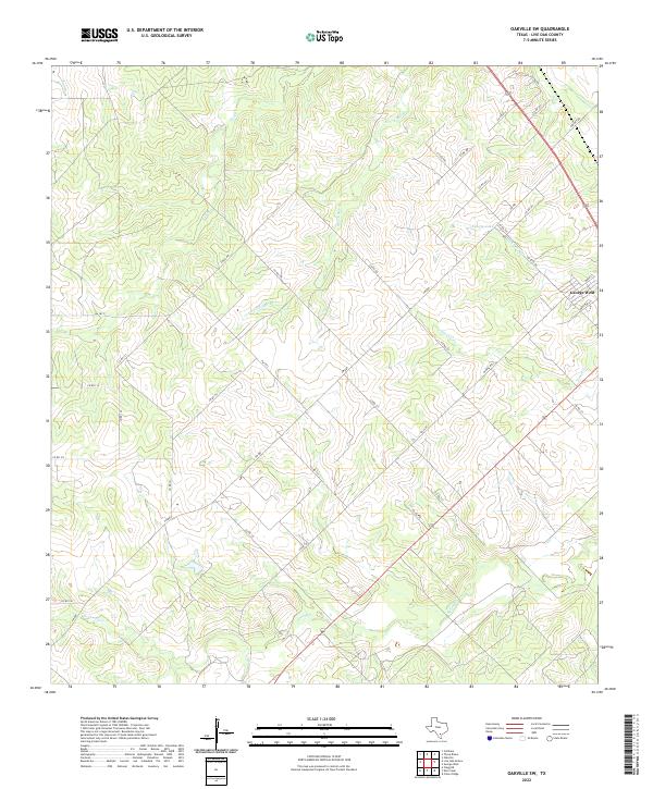 2022 Oakville SW2022 Print · USGSGeorge West and the surrounding Live Oak County ranch lands are detailed here in the early twenty-first century. Researchers can trace the local drainage systems of Salt Br and Timon Cr or locate properties near Katzfey Lake and George West.
 - 2022 Map of George West, 2022 Print
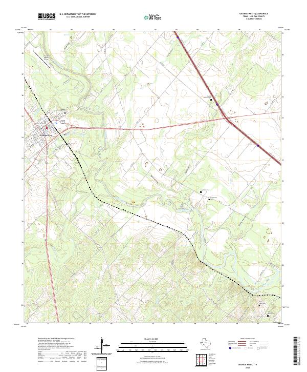 2022 George West2022 Print · USGSGeorge West and the surrounding Live Oak County countryside appear in clear detail in this contemporary survey of the South Texas brush country. Genealogists can trace family heritage through numerous burial sites like Gussettville Cem, Guy James Cem, and the Shipp Family Cem.
 - 2022 Map of Crater Ridge, 2022 Print
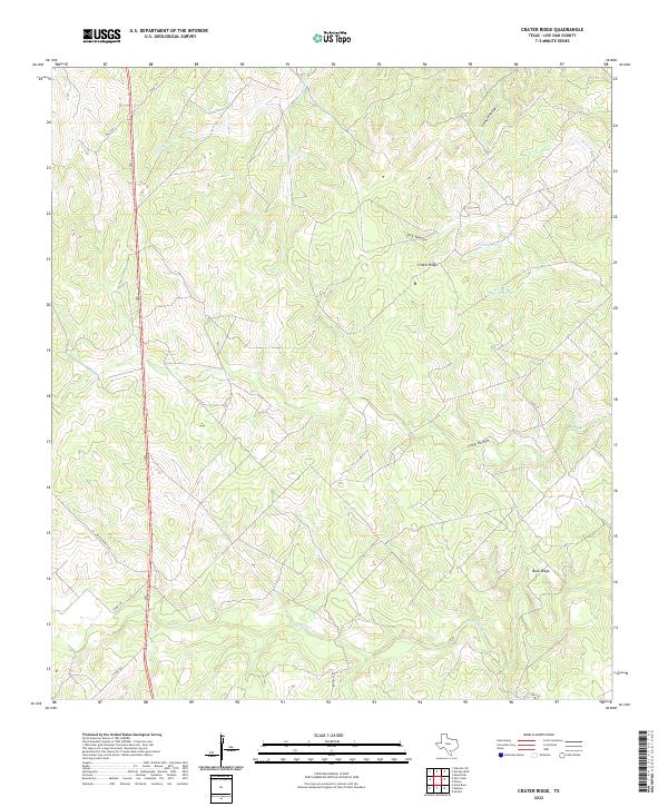 2022 Crater Ridge2022 Print · USGSLive Oak County ranch lands are detailed here in the early 2020s, showing a landscape defined by ridge lines and essential water tanks. Genealogists can trace family-named features like Polzin Ranch Rd, Crater Ridge, and Jacobs Tank.
 - 2022 Map of Clegg, 2022 Print
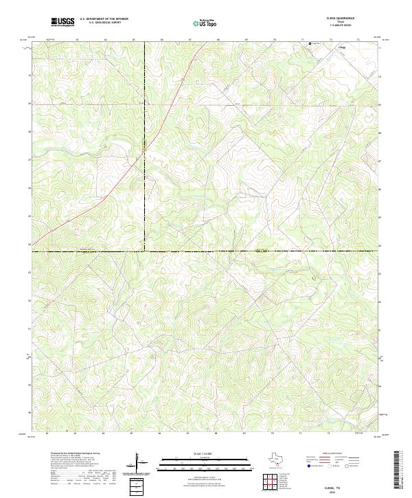 2022 Clegg2022 Print · USGSThe rural crossroads of South Texas are documented here during the early twenty-first century as the county lines of McMullen, Live Oak, and Duval intersect. Genealogists and local historians can locate Clegg Cem and trace the winding paths of Lagarto Cr and Tepecate Cr.
 - 2022 Map of Live Oak Hollow, 2022 Print
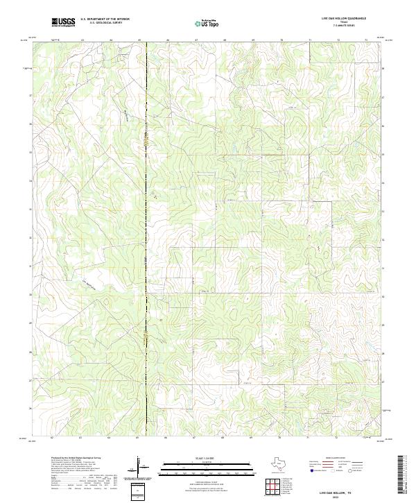 2022 Live Oak Hollow2022 Print · USGSSouth Texas ranchland at the McMullen and Live Oak county line is captured here in the early twenty-first century. Researchers can trace rural property access and drainage patterns along Live Oak Hollow, Rex Cabaniss Cr, and Co Line Rd.
 - 2022 Map of Clegg NE, 2022 Print
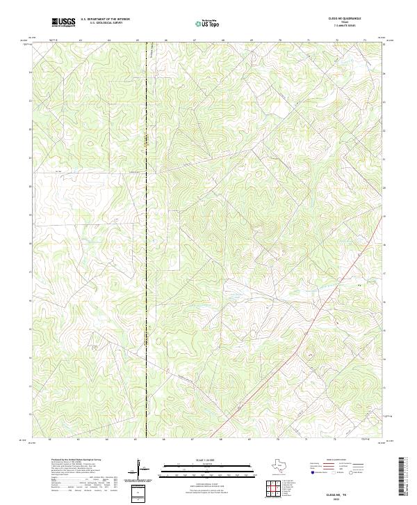 2022 Clegg NE2022 Print · USGSThe ranchlands along the border of McMullen and Live Oak counties are captured here in the early twenty-first century. Researchers can trace the hydrology of the South Texas brush through Salt Br Ramirena Cr and family-named landmarks like Marcou Tank.
 - 2022 Map of Elm Creek, 2022 Print
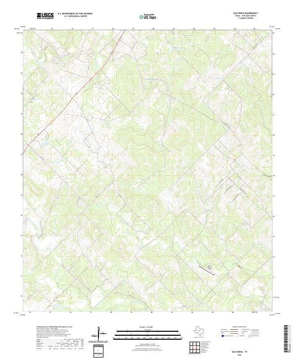 2022 Elm Creek2022 Print · USGSLive Oak County's ranching landscape is captured here in the early twenty-first century. Researchers can trace the network of tanks and creek beds that define the area, from Rossler Ranch Airport to Salt Branch Ramirena Creek and Javelina Tank.
 - 2022 Map of Pawnee, 2022 Print
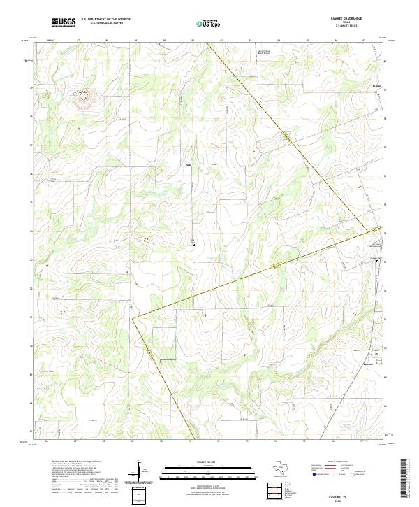 2022 Pawnee2022 Print · USGSThe ranchlands of Bee, Live Oak, and Karnes Counties are mapped here in the early 2020s. Researchers can locate local burial sites such as Nell Cem and Our Lady of Guadalupe Cem, or trace the paths of Weedy Cr and Elm Cr.
 - 2022 Map of Peggy, 2022 Print
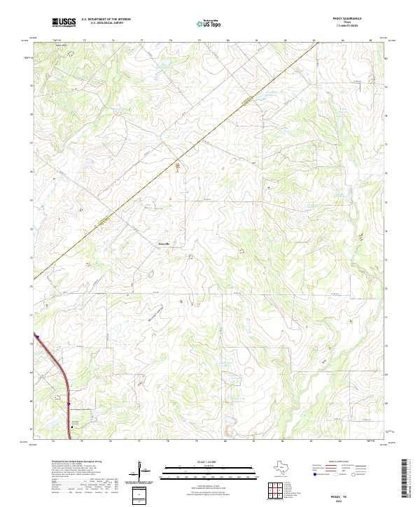 2022 Peggy2022 Print · USGSCrossing the Atascosa and Live Oak county line in the 2020s, this area shows a landscape of family-owned ranch land and managed water. Researchers can trace local history at Pleasant Hill Cem and identify historical landholdings near Esseville and Lillian Esse Lake.
 - 2022 Map of Whitsett, 2022 Print
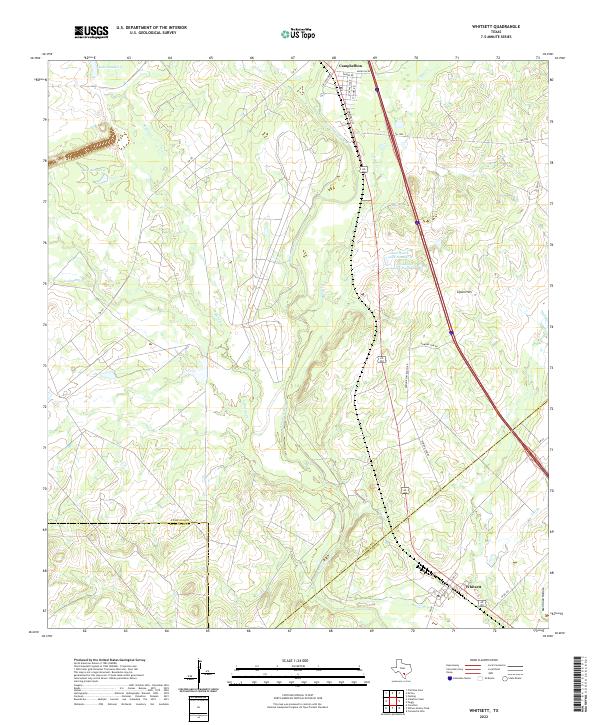 2022 Whitsett2022 Print · USGSIn the Brush Country of South Texas, this contemporary survey captures the rural crossroads and ranching lands of Atascosa County. Genealogists and local historians can trace the street grids of Campbellton and Whitsett or locate water sources like Tom Ranch Lake Number 1 and the Atascosa River.
 - 2022 Map of Willow Hollow Tank, 2022 Print
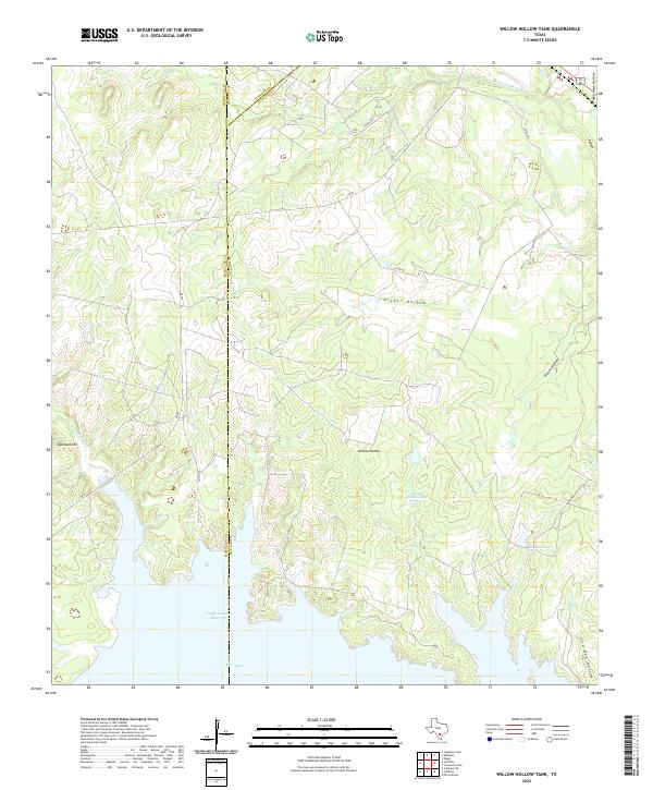 2022 Willow Hollow Tank2022 Print · USGSThe brush country of South Texas at the MCMULLEN and LIVE OAK county line is defined by its modern water management and cattle-ranching landscape. Genealogists and historians can trace local family-named landmarks like Raschke Lake and Ursher Hollow.
 - 2022 Map of Midway, 2022 Print
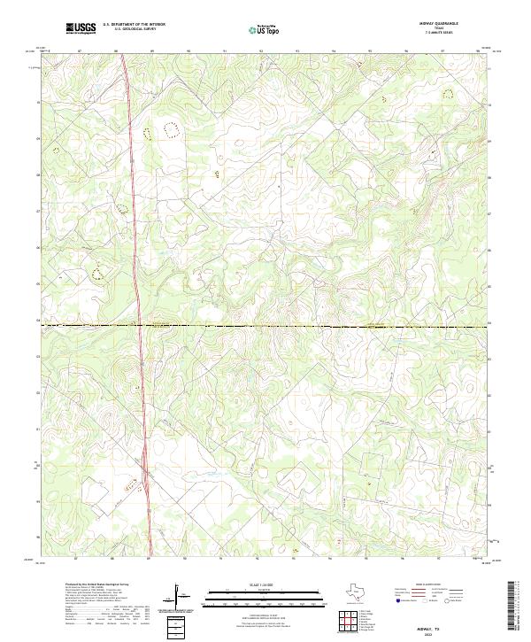 2022 Midway2022 Print · USGSThe South Texas brush country at the border of Live Oak and Jim Wells Counties remains a land of ranches and winding waterways. Trace the paths of Lagarto Cr and Penitas Cr alongside rural landmarks like Dix Hollow and Yucca Trl.
 - 2022 Map of Calliham, 2022 Print
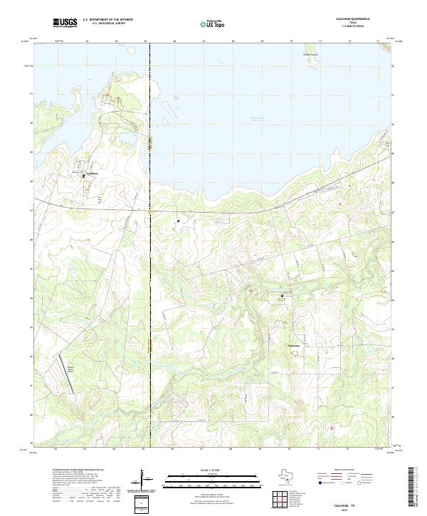 2022 Calliham2022 Print · USGSThe confluence of the Nueces and Frio Rivers in Live Oak County is captured here in the era of the reservoir. Researchers can locate the settlements of Calliham and Simmons, along with the Calliham Cem and the Paisano Ranch Airport.
 - 2022 Map of Mulos Hills, 2022 Print
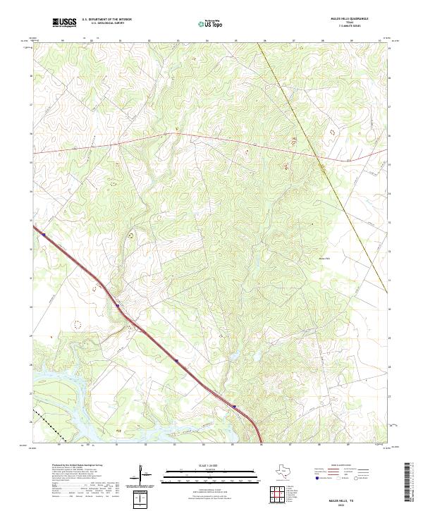 2022 Mulos Hills2022 Print · USGSSouth Texas ranching country in the early twenty-first century is defined by its deep creek drainages and high ground. Researchers can trace the Nueces River and family-named routes like 2 Brothers Ln or follow the slopes of the Mulos Hills.
 - 2022 Map of Sandia, 2022 Print
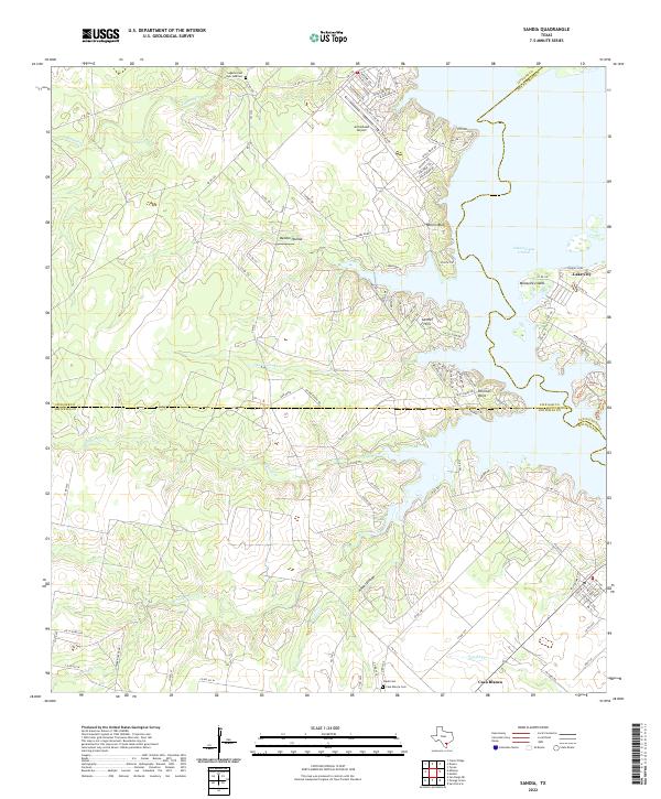 2022 Sandia2022 Print · USGSCoastal Bend ranchlands meet the rising waters of the reservoir in the early 2020s. Genealogists and local historians can trace family sites at Lagarto Cem or explore the waterfront layouts of Lake City and Pernitas Point.
Showing maps 1-25 of 27
Top cities of Live Oak County
Frequently asked questions
- What are the different types of historical maps available for Live Oak County?
- What is the oldest map of Live Oak County?
- Where can I purchase historical maps of Live Oak County for my home or office?
- Where can I download high-res historical maps of Live Oak County?
- Are there historical topographic maps available for Live Oak County?
- Is there historical aerial imagery available for Live Oak County?
- Where are historical maps of Live Oak County sourced from?