2020s Maps of Loving County, Texas
Explore 29 historic maps of Loving County from the 2020s. These maps offer a rare glimpse into what life looked like during the 2020s — showing old roads, neighborhoods, homes, and landmarks that have changed or disappeared over time.
Whether you're researching your family's past, planning a metal detecting trip, or studying how Loving County's landscape evolved across the 2020s, these high-resolution maps are a powerful tool for exploring the history of this region.
- Focus on a specific era: All maps on this page are from the 2020s, giving you a focused view of this time period.
- See what’s changed: Compare century-old streets, trails, and buildings to today's modern landscape using overlays and satellite layers.
- Research with precision: Use these maps for genealogy, historical research, land use analysis, or educational projects.
- View, download, or print: Maps are fully viewable online in high resolution, and can be downloaded or printed for your own records.
Start exploring Loving County's history through authentic maps from the 2020s. This is your window into the past.
Loving County, TX maps
(29)- 2020 Map of Javelina Basin, 2020 Print
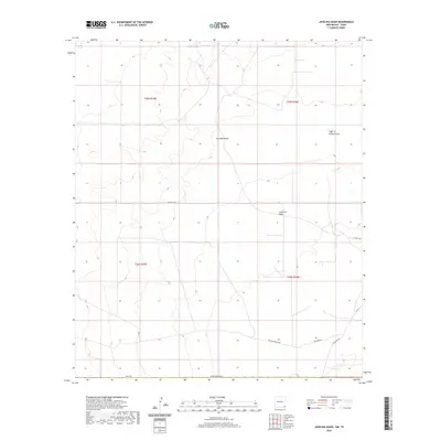 2020 Javelina Basin2020 Print · USGSThis high desert corner of Lea County was surveyed in the late 2010s, revealing a landscape defined by seasonal watercourses and remote ranching access. Researchers can trace land use patterns via Beckham Ranch Rd and explore landmarks like Javelina Basin and Croft Tank.
 - 2020 Map of Paduca Breaks East, 2020 Print
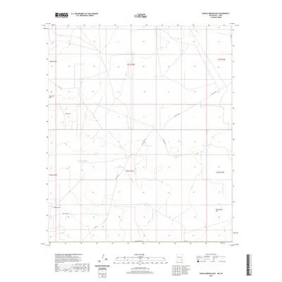 2020 Paduca Breaks East2020 Print · USGSThe ranchlands of Lea County appear here in the early twenty-first century as a landscape defined by water management and open range. Researchers can locate remote livestock landmarks like Needmore Tank and Christian Tank along the historic Battle Axe Rd.
 - 2020 Map of Ross Ranch, 2020 Print
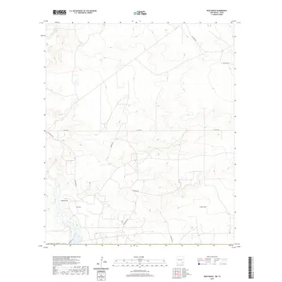 2020 Ross Ranch2020 Print · USGSEddy County ranch lands and energy corridors are captured in this modern survey of the New Mexico borderlands. Researchers can trace land use patterns and utility infrastructure via Ross Ranch, Brushy Draw, and Pipeline Rd.
 - 2020 Map of Paduca Breaks West, 2020 Print
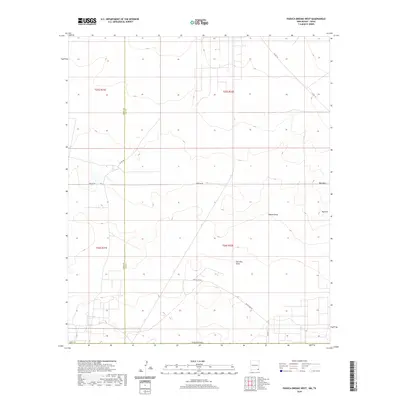 2020 Paduca Breaks West2020 Print · USGSThe high desert of southeastern New Mexico is captured here in the contemporary era, spanning the border of Eddy and Lea Counties. Researchers can trace the infrastructure of the Permian Basin via Pipeline Rd and locate vital water points like East Tank near Red Hills Draw.
 - 2020 Map of Phantom Banks, 2020 Print
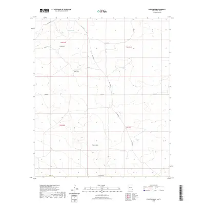 2020 Phantom Banks2020 Print · USGSEddy County, New Mexico, is documented here in the early twenty-first century, showing a remote landscape shaped by water management and energy infrastructure. Researchers can trace the layout of the arid terrain through features like Phantom Banks, Lone Tree Tank, and Tucker Draw.
 - 2020 Map of Andrews Place, 2020 Print
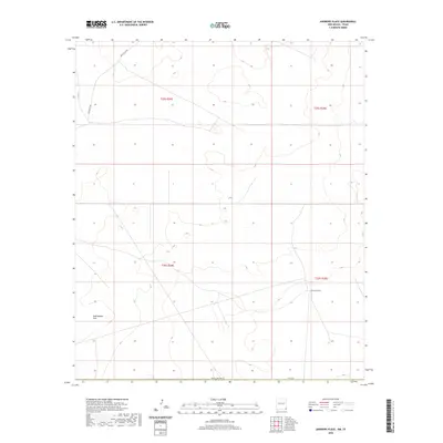 2020 Andrews Place2020 Print · USGSSoutheast New Mexico at the close of the 2010s shows a landscape defined by expansive ranching and survey grids. Genealogists and researchers can trace local landmarks like Andrews Place and the open stretches of Rattlesnake Flat along Battle Axe Rd.
 - 2022 Map of Orla NE, 2022 Print
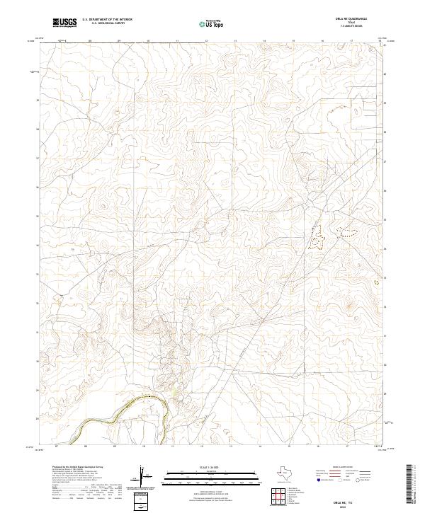 2022 Orla NE2022 Print · USGSLoving and Reeves counties meet along the winding Pecos River in this modern-day survey of the West Texas desert. Researchers can trace the regional boundary and the infrastructure of the Permian Basin along Ranch Rd 652 and Pecos St.
 - 2022 Map of Brunson Ranch, 2022 Print
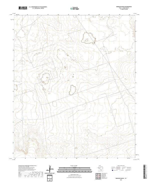 2022 Brunson Ranch2022 Print · USGSDiscover the remote ranchlands of Loving County during the early twenty-first century. Researchers can trace the network of backroads and local tracks that lead to vital water sources like Coyote Springs.
 - 2022 Map of Lindley Ranch, 2022 Print
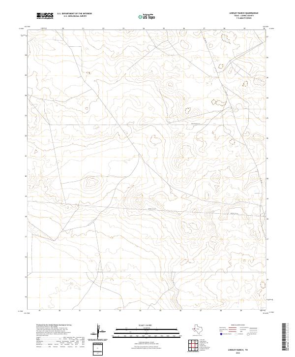 2022 Lindley Ranch2022 Print · USGSLoving County, Texas, reveals a landscape of high-desert industrial access and remote plains in this contemporary survey. Researchers can trace the modern infrastructure of the Permian Basin via Port Road 3015, Reeves Co 440, and Co Rd 300.
 - 2022 Map of Anderson Ranch, 2022 Print
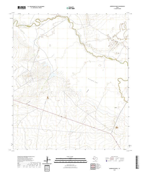 2022 Anderson Ranch2022 Print · USGSThe Pecos River valley at the Loving and Reeves county line remains a sparsely populated landscape of ranching and resource extraction. Researchers can locate the settlement of Arno and trace ephemeral drainage features like Horsehead Draw and Smith Draw.
 - 2022 Map of Orla SE, 2022 Print
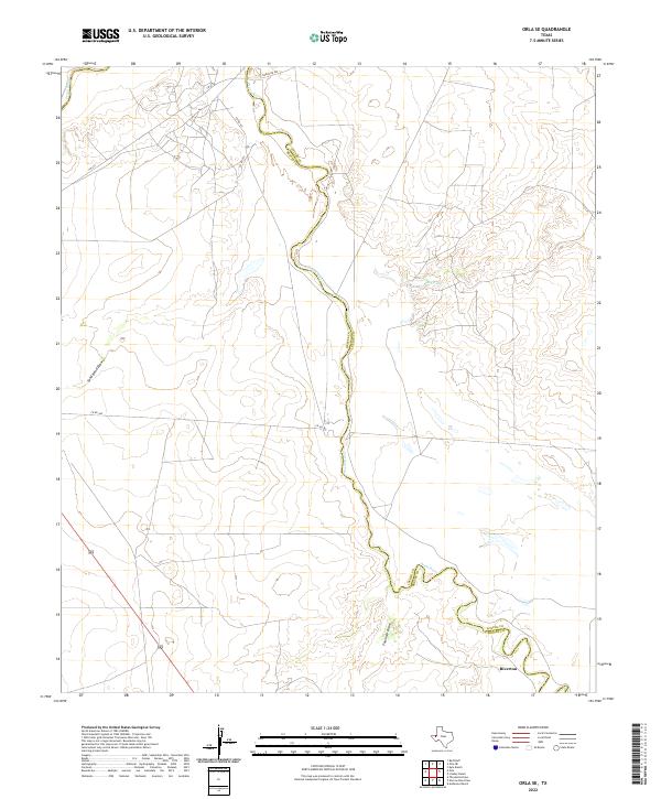 2022 Orla SE2022 Print · USGSReeves and Loving Counties are documented here as they appeared in the early 2020s, centered on the winding path of the Pecos River. Researchers can trace the layout of the Riverton settlement and locate rural landmarks like Big Tank and Sand Bend Draw.
 - 2022 Map of Red Bluff, 2022 Print
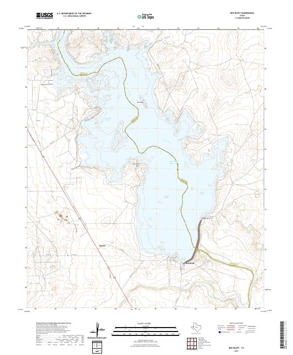 2022 Red Bluff2022 Print · USGSThe Reeves and Loving County borderlands in West Texas are defined by the Pecos River as it feeds the Red Bluff Reservoir. Local historians can trace the settlement at Angeles and investigate landmarks like East West Bluff and Allison Spring.
 - 2022 Map of Kyle Ranch, 2022 Print
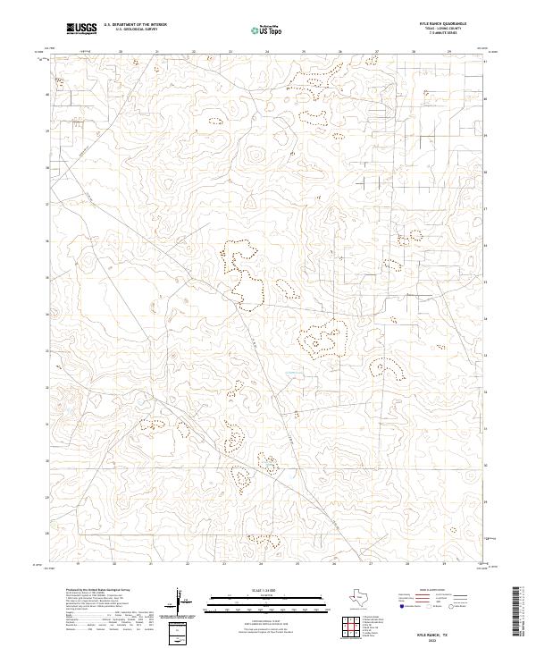 2022 Kyle Ranch2022 Print · USGSLoving County, Texas, is captured in this recent survey as a landscape defined by ranching infrastructure and desert roads. Researchers can trace the essential water sources of the region at Clifton Tank and Hackberry Tank along the route of Co Rd 300.
 - 2022 Map of Soda Lake NW, 2022 Print
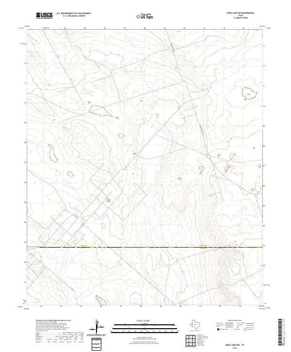 2022 Soda Lake NW2022 Print · USGSThe West Texas borderlands between Loving Co and Ward Co are captured here in the early 2020s. Researchers can trace the remote path of Anderson Ranch Rd and local routes like Co Rd 200 through this sparse ranching landscape.
 - 2022 Map of Mentone, 2022 Print
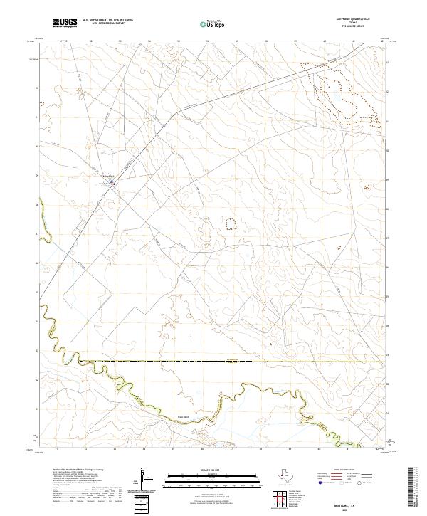 2022 Mentone2022 Print · USGSMentone remains the quiet heart of Loving County in the early twenty-first century, anchored by its remote ranching roads and river bends. You can trace the path of the Pecos River past Texas Bend or locate the historic Loving County Courthouse in the center of town.
 - 2022 Map of Orla, 2022 Print
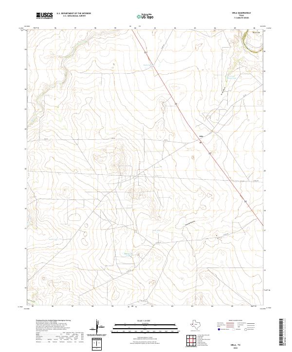 2022 Orla2022 Print · USGSOrla and the surrounding rangelands of West Texas are captured here in the early twenty-first century. Researchers can trace the vital network of livestock waterings and seasonal draws, including Highway Tank, Sand Bend Draw, and the course of the Pecos River.
 - 2022 Map of Rudd Draw NE, 2022 Print
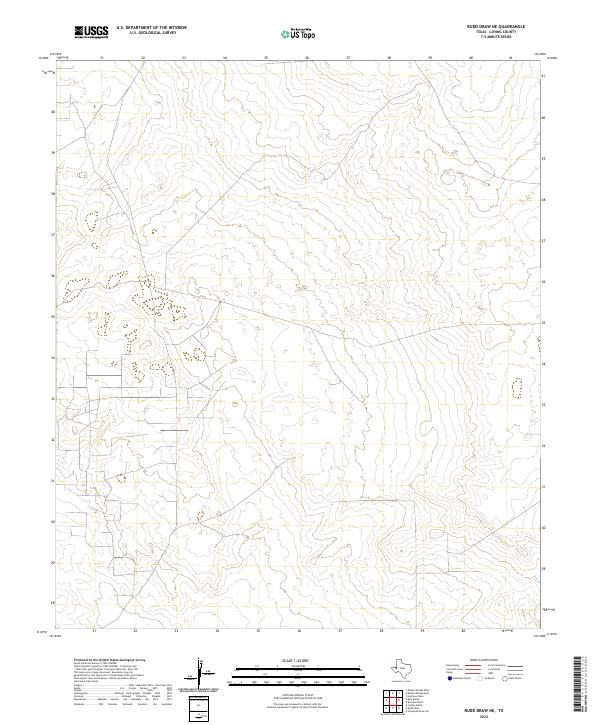 2022 Rudd Draw NE2022 Print · USGSCovers Loving County, including United States, Texas, and other nearby areas
 - 2022 Map of Narrow Bow Draw, 2022 Print
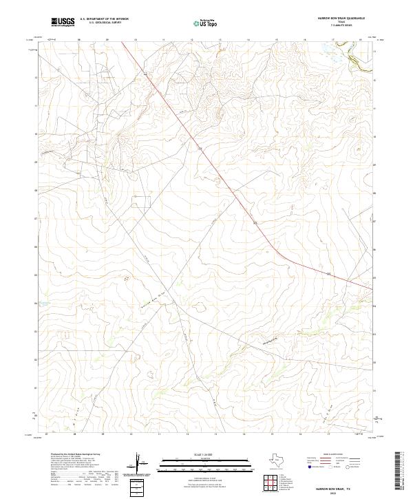 2022 Narrow Bow Draw2022 Print · USGSReeves and Loving counties meet in this West Texas landscape during the early 2020s, showing the intersection of vital desert water routes and modern transit. Trace the course of the Pecos River or the expansive drainage of Narrow Bow Draw alongside highway 285.
 - 2022 Map of Cheyenne Draw SE, 2022 Print
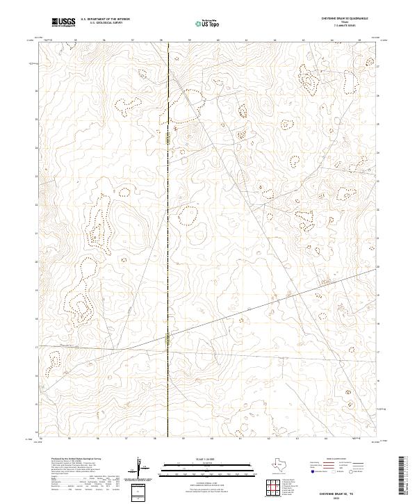 2022 Cheyenne Draw SE2022 Print · USGSThe West Texas borderlands between Loving and Winkler counties come into focus in this contemporary survey of the Permian Basin. Local history researchers can trace the path of Ranch Rd 1211 across the Loving Co Winkler Co line.
 - 2022 Map of Cheyenne Draw, 2022 Print
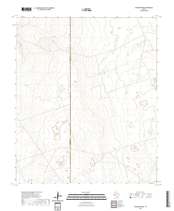 2022 Cheyenne Draw2022 Print · USGSThe West Texas borderlands of Loving and Winkler Counties are captured here in the early 2020s. Researchers can trace the path of Cheyenne Draw and the rural road network including CO RD 101 across this remote landscape.
 - 2022 Map of Cheyenne Draw SW, 2022 Print
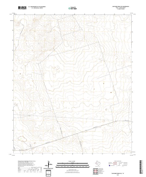 2022 Cheyenne Draw SW2022 Print · USGSLoving County ranching and drainage patterns come into focus in this contemporary survey of the West Texas plains. Genealogists and land researchers can trace property access and local landmarks along Ranch Rd 1211, Rudd Draw, and Anderson Ranch Rd.
 - 2022 Map of Rudd Draw, 2022 Print
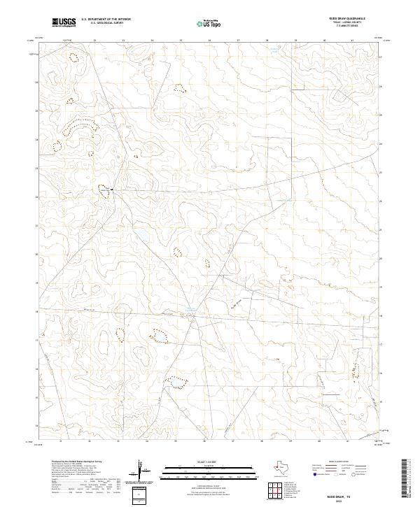 2022 Rudd Draw2022 Print · USGSLoving County ranching country is captured here in the early twenty-first century, showing a landscape shaped by water management and family legacy. Genealogists and historians can locate the Slash Ranch Cem and trace livestock-supporting features like Gilliland Tank and Beacon Light Lake.
 - 2022 Map of Soda Lake NE, 2022 Print
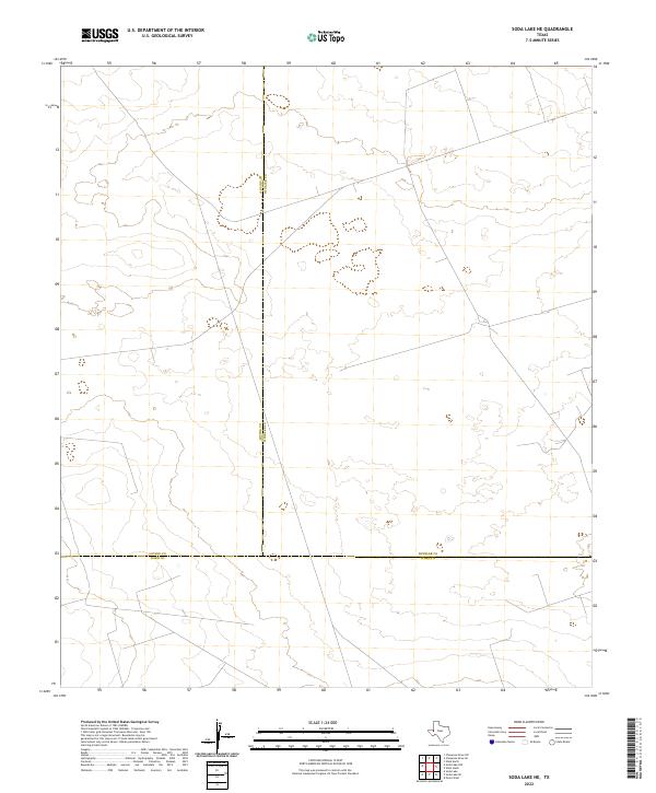 2022 Soda Lake NE2022 Print · USGSThe West Texas desert landscape is captured here in the early 2020s at the intersection of three major counties. Researchers can trace the precise boundaries of Loving, Winkler, and Ward counties across this energy-rich terrain.
 - 2023 Map of Paduca Breaks East, 2023 Print
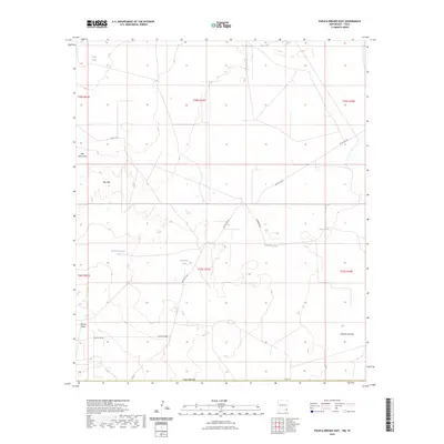 2023 Paduca Breaks East2023 Print · USGSSoutheastern New Mexico's arid ranchlands and range geography are captured here in the contemporary era. Researchers can trace land usage and water management across Red Hills via family-named landmarks like West Dinwiddie Tank and Battle Axe Rd.
 - 2023 Map of Phantom Banks, 2023 Print
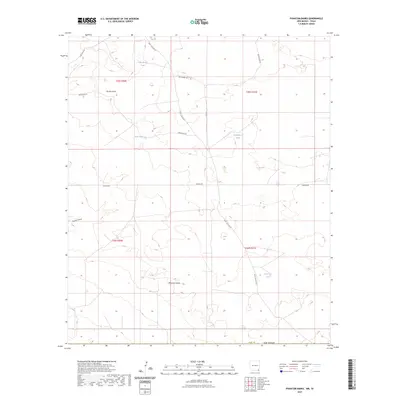 2023 Phantom Banks2023 Print · USGSEddy County, New Mexico, is shown in the early 2020s as a landscape defined by desert water management and rural infrastructure. Researchers can trace the layout of regional ranching and transport via Phantom Banks, Big Seep Tank, and Buck Jackson Rd.
Showing maps 1-25 of 29
Top cities of Loving County
Frequently asked questions
- What are the different types of historical maps available for Loving County?
- What is the oldest map of Loving County?
- Where can I purchase historical maps of Loving County for my home or office?
- Where can I download high-res historical maps of Loving County?
- Are there historical topographic maps available for Loving County?
- Is there historical aerial imagery available for Loving County?
- Where are historical maps of Loving County sourced from?