2010s Maps of Loving County, Texas
Explore 86 historic maps of Loving County from the 2010s. These maps offer a rare glimpse into what life looked like during the 2010s — showing old roads, neighborhoods, homes, and landmarks that have changed or disappeared over time.
Whether you're researching your family's past, planning a metal detecting trip, or studying how Loving County's landscape evolved across the 2010s, these high-resolution maps are a powerful tool for exploring the history of this region.
- Focus on a specific era: All maps on this page are from the 2010s, giving you a focused view of this time period.
- See what’s changed: Compare century-old streets, trails, and buildings to today's modern landscape using overlays and satellite layers.
- Research with precision: Use these maps for genealogy, historical research, land use analysis, or educational projects.
- View, download, or print: Maps are fully viewable online in high resolution, and can be downloaded or printed for your own records.
Start exploring Loving County's history through authentic maps from the 2010s. This is your window into the past.
Loving County, TX maps
(86)- 2010 Map of Cheyenne Draw SW, 2010 Print
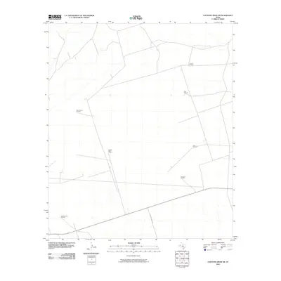 2010 Cheyenne Draw SW2010 Print · USGSLoving County ranchlands are documented here at the turn of the decade, showing the vital water infrastructure that supports this arid region. Researchers can locate named landmarks such as the Lineberry Windmill, Pemm Windmill, and Anderson Ranch Rd.
 - 2010 Map of Kyle Ranch, 2010 Print
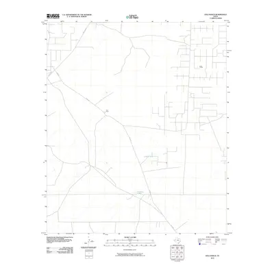 2010 Kyle Ranch2010 Print · USGSLoving County near the New Mexico border reveals its industrial and ranching roots at the start of the new millennium. Researchers can trace the network of oil operations at the El Mar Oil Field and locate landmarks like Kyle Ranch or Hackberry Tank.
 - 2010 Map of Soda Lake NW, 2010 Print
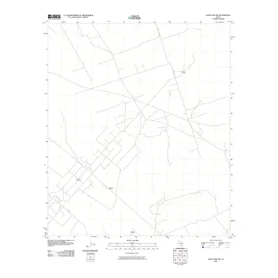 2010 Soda Lake NW2010 Print · USGSWard County's energy landscape is on full display in this early 21st-century survey of the West Texas plains. Genealogists and industrial historians can trace the intricate network of ranch roads and oil infrastructure, from the Meridian Oil Field to the Red Tank Windmill.
 - 2010 Map of Anderson Ranch, 2010 Print
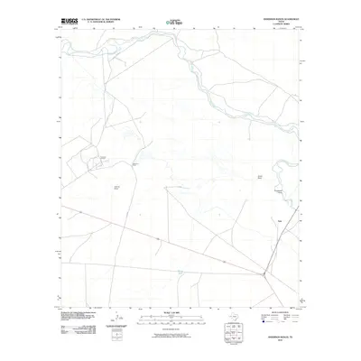 2010 Anderson Ranch2010 Print · USGSThe Pecos River valley of West Texas comes into focus during the early twenty-first century as a landscape of remote ranches and oil production. Trace family land at Anderson Ranch, locate the settlement of Arno, or explore the footprint of the Dixieland Oil Field.
 - 2010 Map of Brunson Ranch, 2010 Print
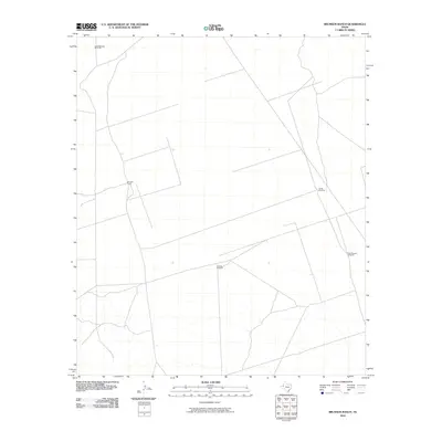 2010 Brunson Ranch2010 Print · USGSLoving County ranching life is captured here in the early twenty-first century, showing the isolation and infrastructure of the West Texas desert. Researchers can trace the water sources essential for survival, including Indian Springs Windmill, Lehman Windmill, and Brunson Ranch.
 - 2010 Map of Cheyenne Draw, 2010 Print
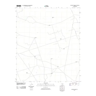 2010 Cheyenne Draw2010 Print · USGSWinkler County ranching and energy operations are documented here during the early twenty-first century. Researchers can trace land use and water sources through named landmarks like Crittendon Gas Field, Sixes Windmill, and Cheyenne Draw.
 - 2010 Map of Cheyenne Draw SE, 2010 Print
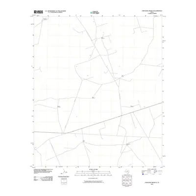 2010 Cheyenne Draw SE2010 Print · USGSWinkler County ranching and water infrastructure are documented here at the start of the twenty-first century. Genealogists and historians can trace family-named sites and essential water sources like Yantis Ranch, Willow Wells Ranch, and Beacon Windmill.
 - 2010 Map of Soda Lake NE, 2010 Print
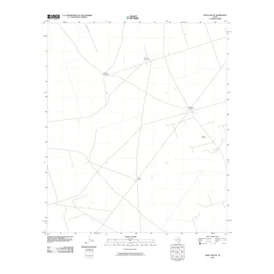 2010 Soda Lake NE2010 Print · USGSWinkler County ranching and oil extraction intersect in this early twenty-first-century survey of the West Texas plains. Researchers can locate specific industrial and agricultural landmarks like the Little Joe Oil Field, China Windmill, and Windmill Number Two.
 - 2010 Map of Lindley Ranch, 2010 Print
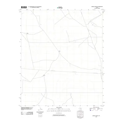 2010 Lindley Ranch2010 Print · USGSLoving County ranching lands are captured here in the early twenty-first century, showing the enduring infrastructure of the West Texas range. Researchers can locate named landmarks like Lindley Ranch and trace water sources such as North Windmill and South Windmill.
 - 2010 Map of Mentone, 2010 Print
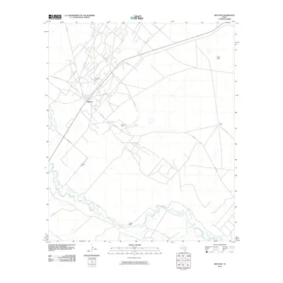 2010 Mentone2010 Print · USGSMentone and the surrounding West Texas plains are captured here in the early twenty-first century as the energy sector and ranching define the local economy. Researchers can trace land use and rural infrastructure through named sites like Wheat Ranch, Texas Bend, and the Wheat Oil Field.
 - 2010 Map of Rudd Draw NE, 2010 Print
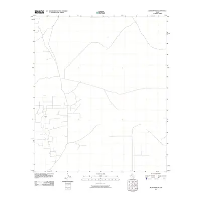 2010 Rudd Draw NE2010 Print · USGSLoving County industry is front and center on this map of West Texas during the recent energy boom. Researchers and historians can trace the specific layout of the Grice Oil Field and the surrounding network of service roads and industrial infrastructure.
 - 2010 Map of Rudd Draw, 2010 Print
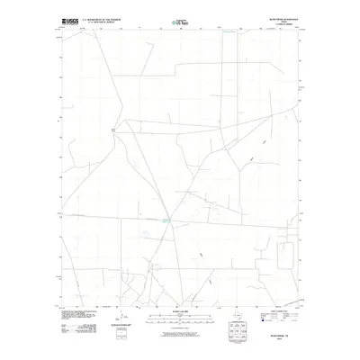 2010 Rudd Draw2010 Print · USGSLoving County, Texas, was a quiet ranching landscape in the first decade of the millennium. Genealogists and historians can trace family land and rural transit routes through Slash Ranch, Beacon Light Lake, and the winding Rudd Draw.
 - 2010 Map of Narrow Bow Draw, 2010 Print
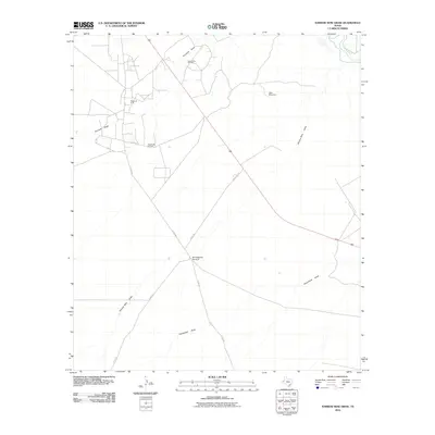 2010 Narrow Bow Draw2010 Print · USGSReeves County at the start of the millennium shows an arid landscape organized around petroleum and ranching. Genealogists and researchers can locate landmarks like Baumgardner Windmill or the Allarmarks Oil Field near the Pecos River.
 - 2010 Map of Red Bluff, 2010 Print
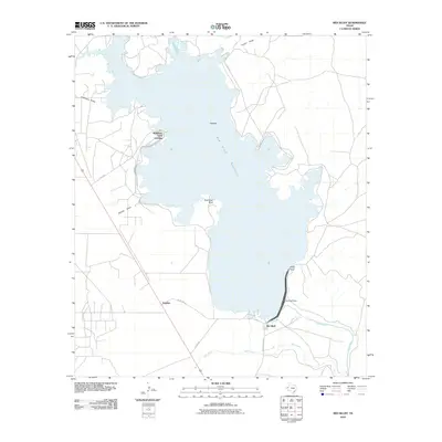 2010 Red Bluff2010 Print · USGSThe Pecos River valley near the New Mexico border is defined here by the waters of the Red Bluff Reservoir. Researchers can trace lakeside landings and local landmarks like Robinson Arms Landing, Alcatraz, and the Red Bluff Dam.
 - 2010 Map of Orla, 2010 Print
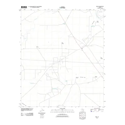 2010 Orla2010 Print · USGSThe high desert of Reeves County comes into focus at the start of the 2010s, centered on the ranching outpost of Orla. Researchers can trace the essential water infrastructure of the region through named landmarks like West Camp Windmill, Arroyo Bonito Tank, and Sand Bend Tank.
 - 2010 Map of Orla NE, 2010 Print
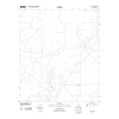 2010 Orla NE2010 Print · USGSReeves County at the start of the decade shows a working landscape of cattle ranching and petroleum production near the New Mexico border. Researchers can trace the industrial footprint of the Tunstall Oil Field and the rural reaches of Boyd Ranch.
 - 2010 Map of Orla SE, 2010 Print
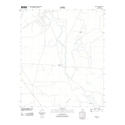 2010 Orla SE2010 Print · USGSThe Pecos River valley in West Texas was a landscape of energy extraction and ranching at the start of the decade. Genealogists and historians can trace the rural outposts of Riverton and Mason Station or locate the infrastructure of the East Tunistill Oil Field.
 - 2010 Map of Andrews Place, 2010 Print
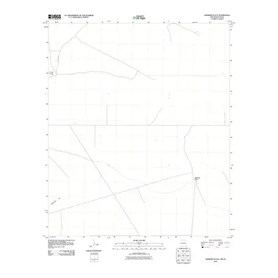 2010 Andrews Place2010 Print · USGSThe ranching country of the New Mexico-Texas borderlands is captured here in the early twenty-first century. Researchers can trace the layout of remote operations such as the Diamond and a Half Ranch and find the location of Andrews Place near the state line.
 - 2010 Map of Phantom Banks, 2010 Print
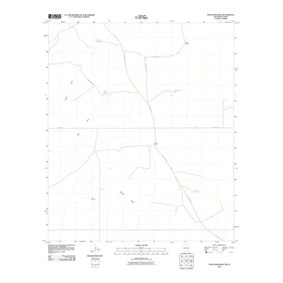 2010 Phantom Banks2010 Print · USGSEddy County, New Mexico, and the Texas borderlands are captured here in the early twenty-first century as a landscape of remote ranching and essential water infrastructure. Trace the locations of isolated landmarks like Steeple Ranch and essential windmills such as Target Windmill and Gyp Windmill.
 - 2010 Map of Paduca Breaks West, 2010 Print
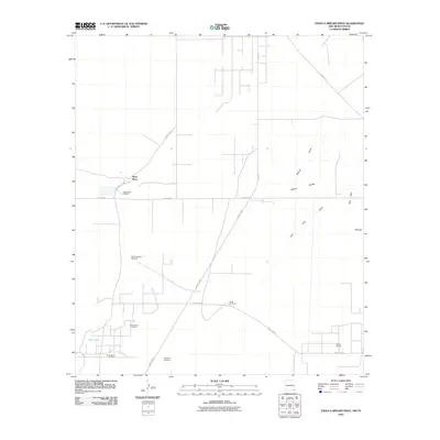 2010 Paduca Breaks West2010 Print · USGSEddy County, New Mexico, at the turn of the millennium shows a landscape defined by ranching outposts and active oil fields. Researchers can locate remote landmarks like Battle-axe Ranch, Ross Place, and the namesake Paduca Breaks.
 - 2010 Map of Ross Ranch, 2010 Print
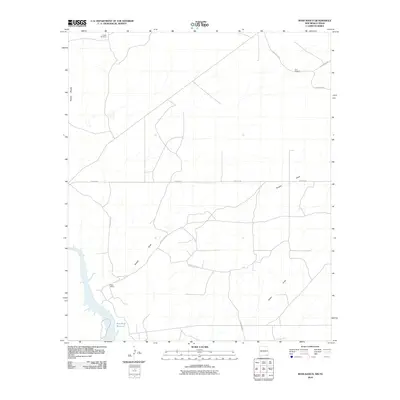 2010 Ross Ranch2010 Print · USGSEddy County ranchlands are documented here in the early twenty-first century as they border the Texas line. Local researchers can trace old ranching infrastructure and drainage features like Ross Ranch, Pickett Windmill, and Brushy Draw.
 - 2010 Map of Javelina Basin, 2010 Print
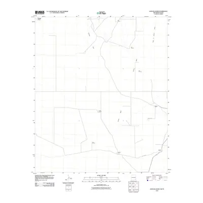 2010 Javelina Basin2010 Print · USGSLea County ranching and the high desert of the New Mexico-Texas borderlands are documented here just after the turn of the millennium. Local history researchers can trace water sources and homesteads like Medlin Place, Beckham Ranch, and Hutchin Windmill.
 - 2010 Map of Paduca Breaks East, 2010 Print
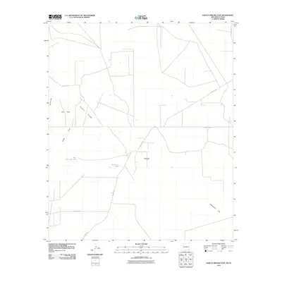 2010 Paduca Breaks East2010 Print · USGSLea County in the early twenty-first century reveals a desert landscape shaped by oil and cattle. Trace the local road network through the Paduca Breaks to find isolated landmarks like Salado Draw Oil Field and Needmore Tank.
 - 2012 Map of Cheyenne Draw, 2012 Print
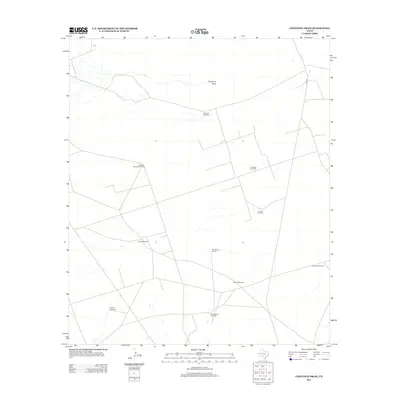 2012 Cheyenne Draw2012 Print · USGSWinkler County ranching and energy land are documented here during the early twenty-first century. Researchers can trace groundwater infrastructure and family landmarks through Magnolia Windmill, Crittendon Gas Field, and Sixes Windmill.
 - 2012 Map of Rudd Draw NE, 2012 Print
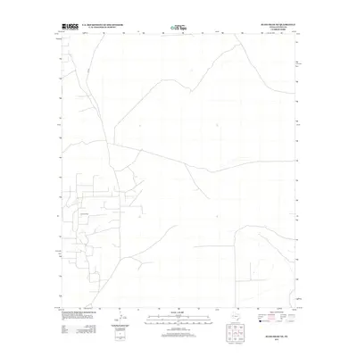 2012 Rudd Draw NE2012 Print · USGSLoving County at the start of the 2010s shows a landscape defined by its energy industry and vast, open spaces. Researchers can trace the extensive network of service roads supporting the Grice Oil Field and the path of Co Rd 2.
Showing maps 1-25 of 86
Top cities of Loving County
Frequently asked questions
- What are the different types of historical maps available for Loving County?
- What is the oldest map of Loving County?
- Where can I purchase historical maps of Loving County for my home or office?
- Where can I download high-res historical maps of Loving County?
- Are there historical topographic maps available for Loving County?
- Is there historical aerial imagery available for Loving County?
- Where are historical maps of Loving County sourced from?