Old Maps of Lubbock, Texas for Genealogy
Trace your family roots with 61 historic maps of Lubbock. These high-res maps reveal old neighborhoods, homesites, landmarks, and streets — helping you uncover where your ancestors lived and how the area evolved over time.
- Explore historic neighborhoods: Identify where your relatives may have lived in the 1800s or 1900s.
- Compare maps over time: Trace the changes in streets, buildings, and landmarks for multi-generational research.
- Perfect for genealogy & ancestry research: Used by family historians and researchers to map out lineage and migration.
These maps are an incredible resource for exploring your personal connection to Lubbock's past.
Lubbock, TX maps
(61)- 1954 Map of Lubbock, 1958 Print
 1954 Lubbock1958 Print · USGSThe High Plains and Caprock region of West Texas come alive in the mid-1950s, showing a landscape defined by oil discovery and the Brazos River headwaters. Genealogists and historians can trace rail-connected towns like Roaring Springs, find the Pleasant Valley church, or locate family-named landmarks such as Soldier Mound.4 unique versions available
 - 1954 Map of Brownfield, 1975 Print
 1954 Brownfield1975 Print · USGSThe High Plains of the Texas-New Mexico border are captured here in the mid-twentieth century, as ranching and oil extraction shaped the Llano Estacado. Genealogists and historians can trace small rural centers like Lums Chapel, Hillburn City, and the Friendship Sch amid a landscape of windmills.2 unique versions available
 - 1956 Map of Shallowater, 1957 Print
 1956 Shallowater1957 Print · USGSThe Lubbock County plains of the mid-fifties center on the rail-side community of Shallowater. Researchers can trace the path of the Panhandle and Santa Fe railroad and locate local landmarks like the DRAG STRIP and Broadview.3 unique versions available
 - 1956 Map of New Deal, 1957 Print
 1956 New Deal1957 Print · USGSLubbock and its northern environs are shown in the mid-1950s as a burgeoning center of Texas industry and aviation. Researchers can trace the layout of the Lubbock Municipal Airport and early developments like the New Deal settlement and the Lubbock Country Club.3 unique versions available
 - 1957 Map of Lubbock East, 1958 Print
 1957 Lubbock East1958 Print · USGSLubbock emerges as a major West Texas center in the late fifties, showcasing the city's expansion alongside the Double Mountain Fork. Researchers can locate mid-century institutions like Texas Technological College, the City Cemetery, and Mac Kenzie State Park.4 unique versions available
 - 1957 Map of New Home, 1958 Print
 1957 New Home1958 Print · USGSThe rural High Plains of West Texas are meticulously detailed in the late 1950s, showing the early infrastructure of several crossroads communities. Genealogists and researchers can locate landmarks like Dixie Sch (Aband), the settlement of Slide, and the Athletic Field at New Home.
 - 1957 Map of Lubbock West, 1958 Print
 1957 Lubbock West1958 Print · USGSLubbock and its western fringes are shown in the late fifties during a period of rapid institutional and residential growth. Genealogists and local historians can trace the early layout of the Texas Technological College campus and locate community landmarks like Resthaven Cemetery and Carlisle.3 unique versions available
 - 1957 Map of Lubbock, 1958 Print
 1957 Lubbock1958 Print · USGSLubbock and its surrounding High Plains communities are captured here in the late fifties during a period of steady growth. Researchers can trace local genealogy and land use through landmarks like City Cemetery, Antioch Sch, and the Lubbock Municipal Airport.
 - 1957 Map of Wolfforth, 1958 Print
 1957 Wolfforth1958 Print · USGSThe High Plains of West Texas are captured here in the late fifties as military and oil interests expanded. Researchers can trace the layout of Reese Air Force Base, find the Smyer Oil Field, and locate the Bradford Sch.
 - 1958 Map of Brownfield
 1958 Brownfield1958 Print · USGSThe High Plains of the Texas-New Mexico border are captured here during a mid-century oil boom. Genealogists and historians can trace old community sites like Lums Chapel and Tokio alongside the vast Levelland and Slaughter Oil and Gas Field.
 - 1962 Map of Brownfield
 1962 Brownfield1962 Print · USGSThe High Plains of Texas and New Mexico are captured in the early sixties as a thriving hub of oil production and ranching. Researchers can trace the industrial footprint of the Levelland and Slaughter Oil and Gas Field or locate smaller towns like Sundown and Littlefield.
 - 1965 Map of Buffalo Springs Lake, 1966 Print
 1965 Buffalo Springs Lake1966 Print · USGSThe Lubbock area during the mid-sixties reveals the dramatic carving of Yellow House Canyon through the Llano Estacado. Local researchers can trace the development of Buffalo Springs Lake and the rural community of Roosevelt at its mid-century peak.2 unique versions available
 - 1976 Map of Wolfforth SE, 1978 Print
 1976 Wolfforth SE1978 Print · USGSLubbock County agricultural and military life are preserved in this 1970s aerial survey. Trace the layout of the airfield at Reese Village and see the early development of Wolfforth amidst a patchwork of center-pivot irrigation fields.
 - 1976 Map of New Home NW, 1978 Print
 1976 New Home NW1978 Print · USGSLubbock County agricultural life is frozen in time during the late 1970s on this detailed orthophotoquad. Local historians and land researchers can trace the settlement at Slide and the evolution of irrigation patterns across the South Plains landscape.2 unique versions available
 - 1976 Map of New Home NE, 1978 Print
 1976 New Home NE1978 Print · USGSThe Lubbock-area plains are captured in the mid-seventies, showing a landscape defined by industrial agriculture and rural communities. Genealogists and local historians can trace the development of small settlements like Woodrow and Union amidst the grid of country roads.2 unique versions available
 - 1985 Map of Wolfforth
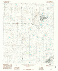 1985 Wolfforth1985 Print · USGSLubbock and Hockley counties are captured here in the mid-1980s, showcasing the intersection of military life and West Texas plains settlement. Researchers can trace the layout of Reese Air Force Base, the growing town of Wolfforth, and the small community of Hurlwood.
 - 1985 Map of Woodrow
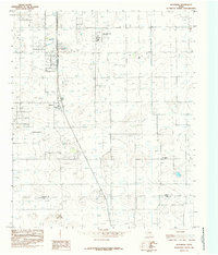 1985 Woodrow1985 Print · USGSThe Lubbock-Lynn county line area in the mid-eighties shows a landscape of traditional ranching transitioning into an aviation and residential hub. Researchers can locate the community of Woodrow, the Town & Country Airpark, and the local Golf Course.
 - 1985 Map of Slide
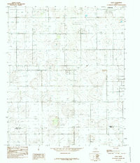 1985 Slide1985 Print · USGSThe rural High Plains south of Lubbock are captured here in the mid-eighties as a landscape defined by ranching and resource extraction. Genealogists and historians can trace the border between Lubbock Co and Lynn Co past local landmarks like Slide and 3 Storage Bins.
 - 1985 Map of Levelland, 1986 Print
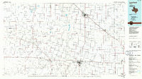 1985 Levelland1986 Print · USGSThe West Texas High Plains are captured here in the mid-eighties as oil production and agriculture defined the region's economy. Researchers can trace the sprawling Levelland and Slaughter Oil and Gas Field or locate rural landmarks like Lums Chapel and South Plains College.2 unique versions available
 - 1986 Map of Slaton
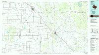 1986 Slaton1986 Print · USGSThe Llano Estacado meets the rolling breaks of the Brazos River in the mid-1980s as the region's ranching and rail roots remain visible. Trace the path of the Atchison Topeka and Santa Fe through Post or locate Guthrie Lake and Wilson.2 unique versions available
 - 1986 Map of Lubbock
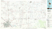 1986 Lubbock1986 Print · USGSLubbock and the surrounding High Plains are documented in the mid-eighties as a structured grid of agricultural tracts and growing urban centers. Genealogists and local historians can trace family-named areas like Heckville, old rail stops on the Atchison Topeka and Santa Fe, and the winding path of Yellow House Canyon.2 unique versions available
 - 2010 Map of Slide, 2010 Print
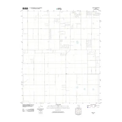 2010 Slide2010 Print · USGSSouth of Lubbock in the early twenty-first century, this area shows the steady expansion of residential grids into the surrounding farmland. Researchers can trace the development of local corridors like Slide Rd, Quaker Ave, and the central settlement of Slide.
 - 2010 Map of Lubbock East, 2010 Print
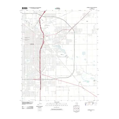 2010 Lubbock East2010 Print · USGSThe High Plains city of Lubbock is captured here as a sprawling regional center in the early twenty-first century. Researchers can trace the development of the South Overton Residential Historic District and locate industry at the Lubbock Oil Field.
 - 2010 Map of Lubbock West, 2010 Print
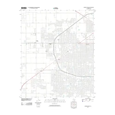 2010 Lubbock West2010 Print · USGSLubbock's western expansion is clearly visible in the first decade of the millennium, showing a dense suburban grid and the university campus. Genealogists and researchers can locate Resthaven Cemetery, the Holden Properties Historic District, and the community of Carlisle.
 - 2010 Map of Shallowater, 2010 Print
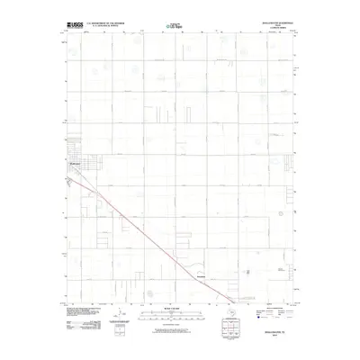 2010 Shallowater2010 Print · USGSThe community of Shallowater is shown at a point of steady growth in the early 2000s, surrounded by an expansive grid of county roads. Genealogists and local historians can trace the development of neighborhood streets and rural routes like Clovis Rd and Quaker Ave.
Showing maps 1-25 of 61
Top cities near Lubbock
- Slaton historical maps
- Wolfforth historical maps
- Shallowater historical maps
- Idalou historical maps
- Ransom Canyon historical maps
- New Deal historical maps
See more
Top neighborhoods of Lubbock
- Reese Center historical maps
- The Ridge historical maps
- Elm Park historical maps
- Ironton historical maps
- Mackenzie Park historical maps
- Quaker Heights historical maps
See more
Frequently asked questions
- What are the different types of historical maps available for Lubbock?
- What is the oldest map of Lubbock?
- Where can I purchase historical maps of Lubbock for my home or office?
- Where can I download high-res historical maps of Lubbock?
- Are there historical topographic maps available for Lubbock?
- Is there historical aerial imagery available for Lubbock?
- Where are historical maps of Lubbock sourced from?