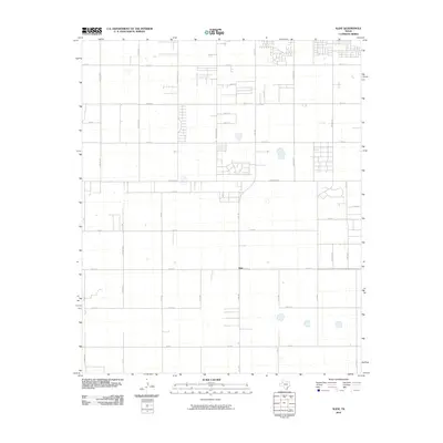
2010 Map of Slide
USGS Topo · Published 2010About this map
Slide occupies a central position within this south Lubbock County landscape, where the transition from rural agricultural land to organized residential expansion is clearly visible. The map shows a precise grid of sections and roads, such as Woodrow Rd and 114th St, defining the territory. Large north-south thoroughfares like Quaker Ave, Indiana Ave, and Slide Rd serve as the primary arteries for this growing community. While much of the southern portion of the quadrangle retains its open character with scattered playa lakes and farm-to-market routes like Co Rd 1600, the northern sections show the increasing density of suburban development. This 2010 survey is a primary record of the changing land use patterns as the city limits of Lubbock push southward into the traditional cotton-farming regions of the South Plains.
Find a feature on this map
38 named features on this map. Tap any name to fly to it.
Don’t see what you’re looking for? This feature index may not catch every label — zoom into the map to look around manually.
Map Details
Editions of this 2010 Slide Map
This is the sole edition of this map. No revisions or reprints were ever made.
Other maps of this area

1954 · Lubbock
USGS Topo · 1:250,000

1954 · Brownfield
USGS Topo · 1:250,000

1957 · Lubbock East
USGS Topo · 1:24,000

1957 · New Home
USGS Topo · 1:62,500

1957 · Lubbock West
USGS Topo · 1:24,000

1957 · Lubbock
USGS Topo · 1:62,500

1957 · Meadow
USGS Topo · 1:62,500

1957 · Wolfforth
USGS Topo · 1:62,500

1958 · Brownfield
USGS Topo · 1:250,000

1962 · Brownfield
USGS Topo · 1:250,000