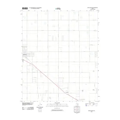
2010 Map of Shallowater
USGS Topo · Published 2010About this map
Shallowater serves as the primary hub of activity in this Lubbock County landscape, showing the town's expansion and grid-based development in the early 21st century. The map illustrates a transition from the structured residential blocks of the town center to a broad network of rural roads and avenues that segment the Llano Estacado. Significant transportation corridors, such as Clovis Rd and the diagonal rail line, cut across the otherwise rectilinear survey system. To the southeast, the Hillcrest Golf Course provides a distinctive recreational landmark amidst the agricultural and residential outskirts. The meticulous naming of thoroughfares like Quaker Ave, Frankford Ave, and Milwaukee Ave highlights the systematic organization of the region's infrastructure as it accommodates suburban growth and local connectivity.
Find a feature on this map
37 named features on this map. Tap any name to fly to it.
Don’t see what you’re looking for? This feature index may not catch every label — zoom into the map to look around manually.
Map Details
Editions of this 2010 Shallowater Map
This is the sole edition of this map. No revisions or reprints were ever made.
Other maps of this area

1954 · Lubbock
USGS Topo · 1:250,000

1954 · Brownfield
USGS Topo · 1:250,000

1956 · Shallowater
USGS Topo · 1:24,000

1956 · New Deal
USGS Topo · 1:24,000

1957 · Lubbock East
USGS Topo · 1:24,000

1957 · Lubbock West
USGS Topo · 1:24,000

1957 · Lubbock
USGS Topo · 1:62,500

1957 · Anton
USGS Topo · 1:62,500

1957 · Abernathy
USGS Topo · 1:62,500

1957 · Wolfforth
USGS Topo · 1:62,500