2020s Maps of Polk County, Texas
Explore 30 historic maps of Polk County from the 2020s. These maps offer a rare glimpse into what life looked like during the 2020s — showing old roads, neighborhoods, homes, and landmarks that have changed or disappeared over time.
Whether you're researching your family's past, planning a metal detecting trip, or studying how Polk County's landscape evolved across the 2020s, these high-resolution maps are a powerful tool for exploring the history of this region.
- Focus on a specific era: All maps on this page are from the 2020s, giving you a focused view of this time period.
- See what’s changed: Compare century-old streets, trails, and buildings to today's modern landscape using overlays and satellite layers.
- Research with precision: Use these maps for genealogy, historical research, land use analysis, or educational projects.
- View, download, or print: Maps are fully viewable online in high resolution, and can be downloaded or printed for your own records.
Start exploring Polk County's history through authentic maps from the 2020s. This is your window into the past.
Polk County, TX maps
(30)- 2022 Map of Stephen Creek, 2022 Print
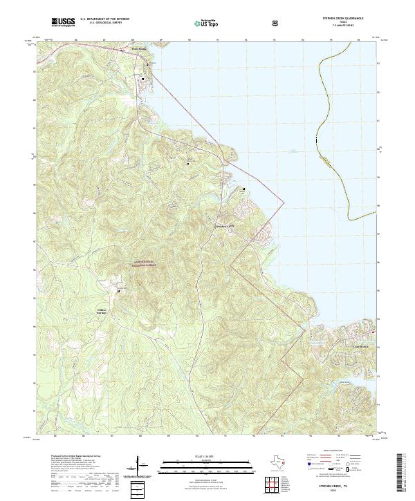 2022 Stephen Creek2022 Print · USGSThe East Texas timberlands and the western shores of Lake Livingston are captured here in recent detail. Researchers can trace family history through numerous forest burial sites like Robinson Cem and Carter Cem or explore the rural community of Point Blank.
 - 2022 Map of Jacks Creek South, 2022 Print
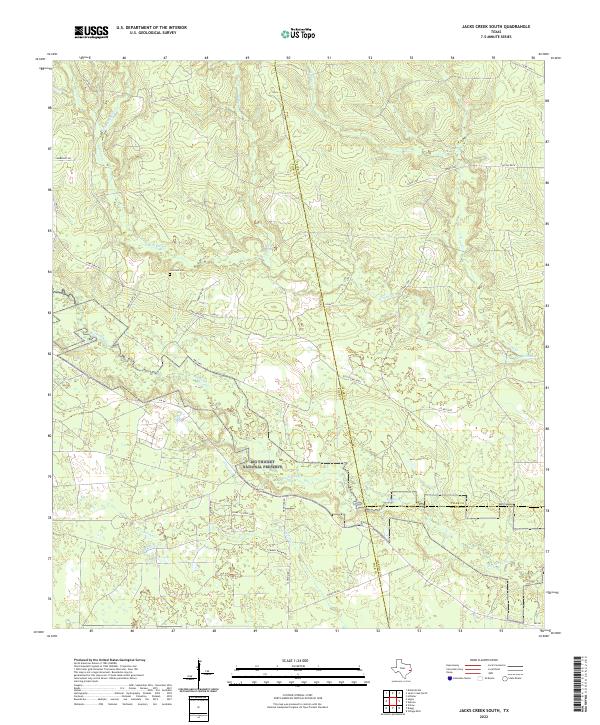 2022 Jacks Creek South2022 Print · USGSThe Piney Woods where Polk, Tyler, and Hardin counties meet is captured here in the early twenty-first century. Genealogists and researchers can locate Simmons Cem, the settlement of Lasalle, and the protected reaches of the Big Thicket National Preserve.
 - 2022 Map of Jacks Creek North, 2022 Print
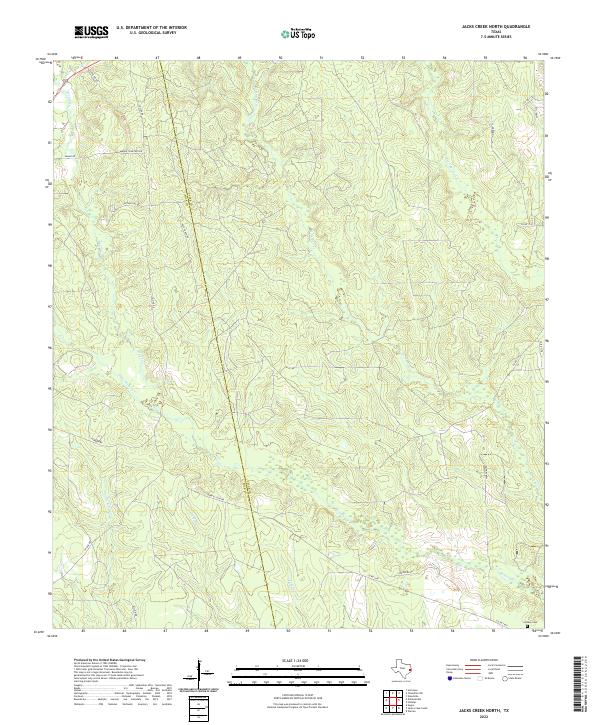 2022 Jacks Creek North2022 Print · USGSThe Tyler and Polk County line bisects this East Texas timberland in the early 2020s, showing a landscape of deep creek bottoms and rural access roads. Researchers can locate the Lindsey Cem or trace the winding paths of Horsepen Cr and Jacks Cr.
 - 2022 Map of Bragg, 2022 Print
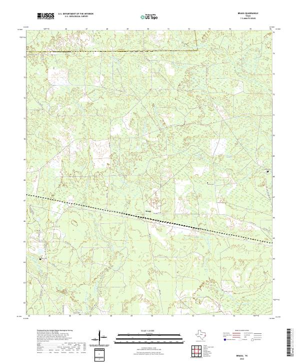 2022 Bragg2022 Print · USGSHardin County and the southern edge of Polk County are captured here in a 2022 survey of the Big Thicket region. Genealogists can trace family heritage at Sutton Cem, Griffin Cem, and Felps Cem near the small community of Bragg.
 - 2022 Map of Onalaska, 2022 Print
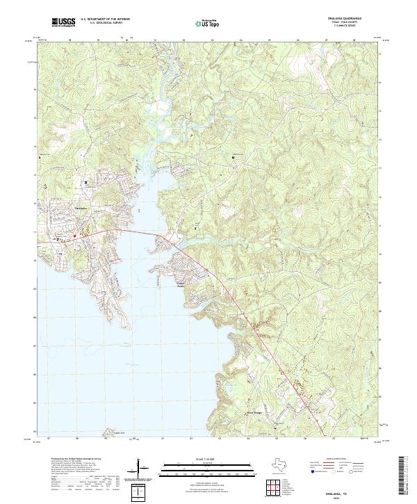 2022 Onalaska2022 Print · USGSTexas lakeside life in the 2020s is on full display here along the complex eastern shores of Lake Livingston. Researchers can trace local genealogy through several historic burial grounds, including Magnolia Cem, Robinett Cem, and the Modica Family Cem.
 - 2022 Map of Soda, 2022 Print
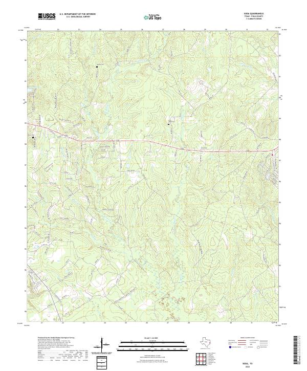 2022 Soda2022 Print · USGSPolk County at the start of the 2020s remains a landscape of dense piney woods and quiet rural settlements centered around the Highway 190 corridor. Genealogists and local historians can trace family ties at Nettles Cemetery and Bluff Creek Cemetery, or explore the drainages of Menard Creek and Greenbriar Hollow.
 - 2022 Map of Chambliss Hill, 2022 Print
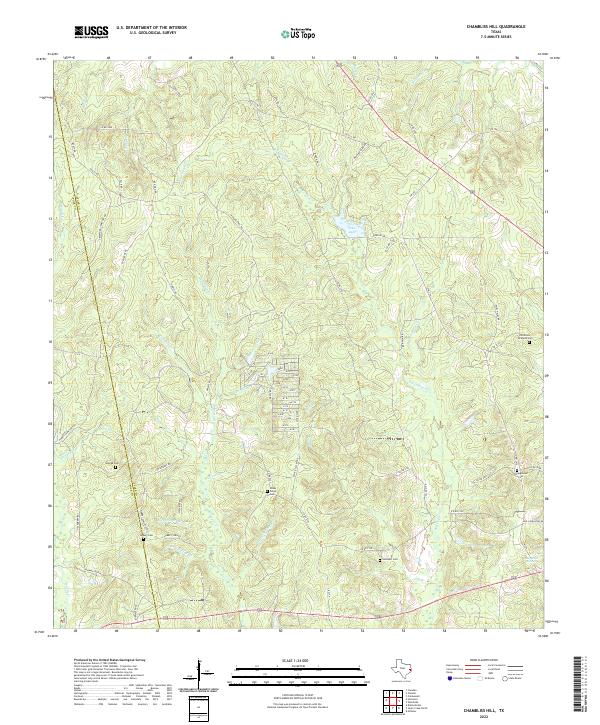 2022 Chambliss Hill2022 Print · USGSThe Tyler and Polk County borderlands are shown here in recent years, revealing a rural landscape shaped by the piney woods and creek systems. Genealogists can trace family burial sites at Old Shiloh - Kirkland Cem, Lockhart Cem, and Shady Grove Cem.
 - 2022 Map of Camden, 2022 Print
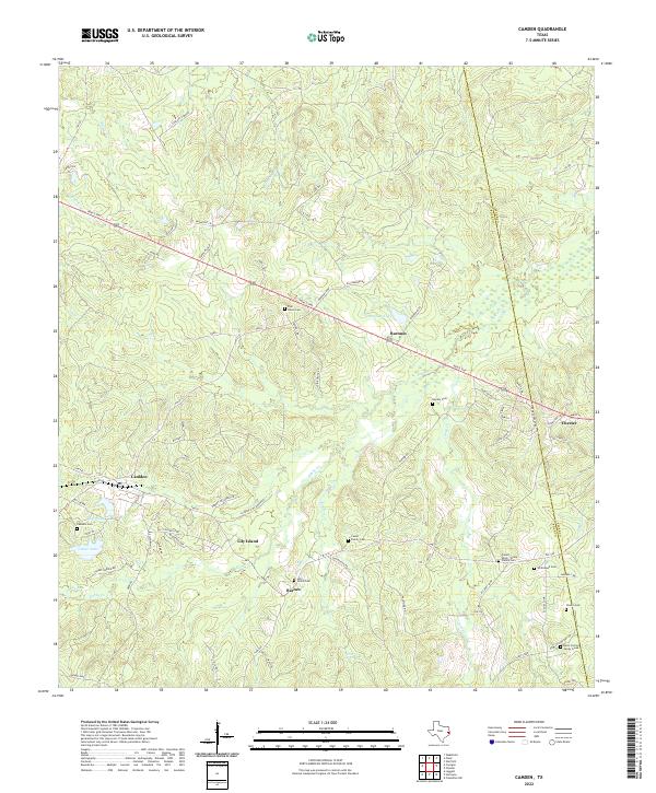 2022 Camden2022 Print · USGSEast Texas timberlands and creek-bottom settlements appear in detail during the early 2020s. Genealogists can trace numerous family burial sites such as the Canon Family Cem and Whitehead Cem near Lily Island and Barnes.
 - 2022 Map of Segno, 2022 Print
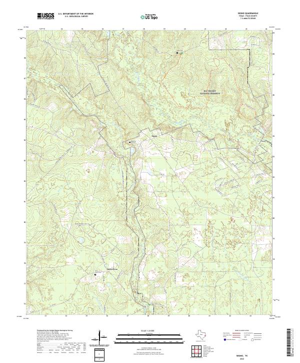 2022 Segno2022 Print · USGSPolk County's timberlands and the preserved wilds of the Big Thicket are documented here in the early twenty-first century. Genealogists and local historians can locate family burial sites at Magnolia Hill Cem and Holly Grove Cem, or trace the winding course of Big Sandy Cr.
 - 2022 Map of Dallardsville, 2022 Print
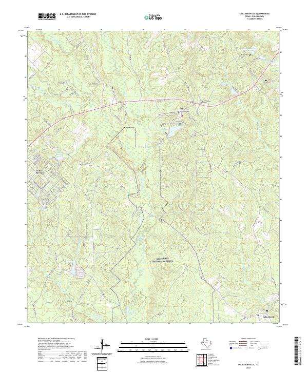 2022 Dallardsville2022 Print · USGSDeep in the East Texas piney woods during the early twenty-first century, this area remains defined by its timbered creeks and Indigenous heritage. Genealogists can trace family burial sites at Alabama Coushatta Indian Reservation Cem and Camp Ruby Cem while exploring the edges of the Big Thicket National Preserve.
 - 2022 Map of Carmona, 2022 Print
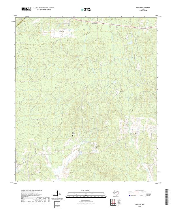 2022 Carmona2022 Print · USGSThe rural landscape of Polk County is mapped here in the early twenty-first century, showing the persistent patterns of East Texas creek-bottom settlement. Genealogists can locate family burial sites like Rowe - Dunham Family Cem and Holhausen - Darby Cem near the waters of Meadow Cr.
 - 2022 Map of Schwab City, 2022 Print
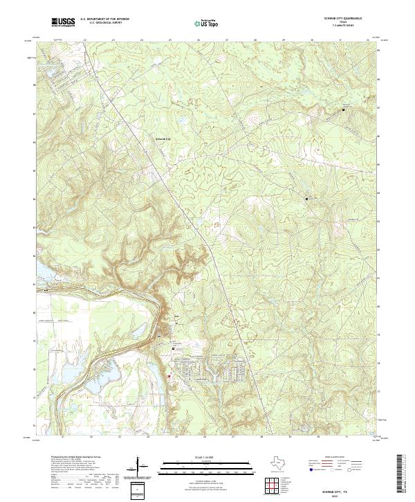 2022 Schwab City2022 Print · USGSThe Trinity River floodplain near Schwab City and Ace is shown in detail during this recent era of East Texas history. Genealogists and local historians can trace family locations near Menard Chapel Cem, Blue Water Cem, and the rural settlement of Atlanta.
 - 2022 Map of Hortense, 2022 Print
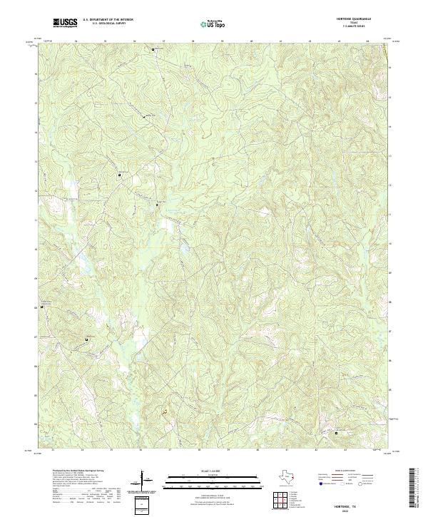 2022 Hortense2022 Print · USGSPolk County in the 2020s remains a landscape of quiet rural roads and ancestral family burial grounds. Local historians can trace early settlement patterns through numerous small cemeteries like Usher Cem, Massey Cem, and the crossing at Beard Xing.
 - 2022 Map of Corrigan, 2022 Print
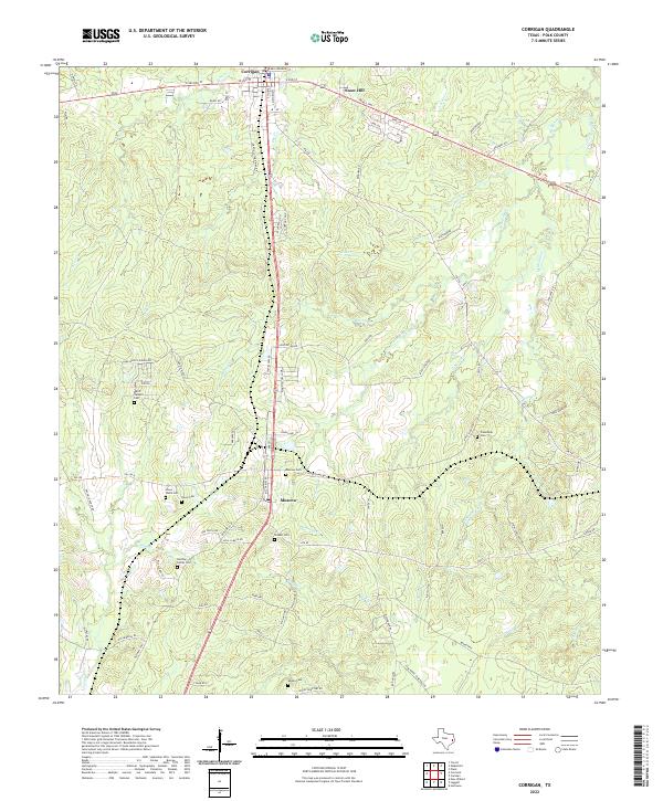 2022 Corrigan2022 Print · USGSThe Piney Woods of Polk County come alive in this recent survey of the corridor between Corrigan and Moscow. Local historians can trace the sites of the Hardin Hideout and numerous family burial grounds like the Jones Watts Cem and Adams Cem.
 - 2022 Map of New Willard, 2022 Print
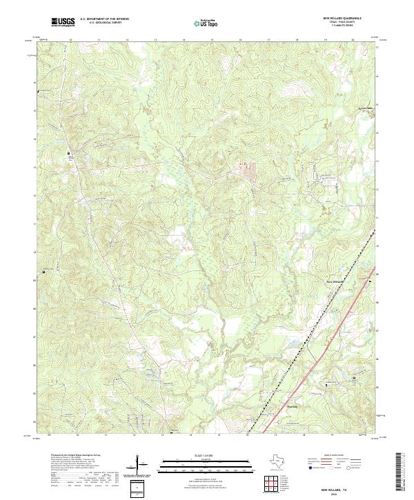 2022 New Willard2022 Print · USGSPolk County at the start of the 2020s shows a deeply rooted rural landscape of timberlands and creek-fed bottomlands. Researchers can locate numerous family and community burial grounds like Alexander Cem and Kibbie Field Cem tucked along the banks of Long Tom Creek.
 - 2022 Map of Colita, 2022 Print
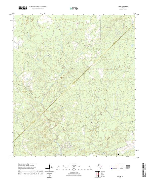 2022 Colita2022 Print · USGSThe Trinity and Polk County borderlands come into focus in this contemporary survey of the East Texas woods. Genealogists and local historians can trace family-named routes and landmarks like Bethel Cem, Carmona Lake, and Lumbermans Rd.
 - 2022 Map of Trevat, 2022 Print
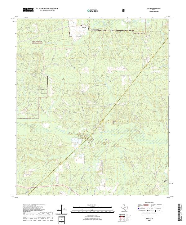 2022 Trevat2022 Print · USGSThe Trinity and Polk County line runs through this East Texas timberland in the early 2020s, centered on the community of Trevat. Genealogists can locate family landmarks like Trevat Cem and Wagner Hill Cem among the branches of Alabama Cr.
 - 2022 Map of Votaw, 2022 Print
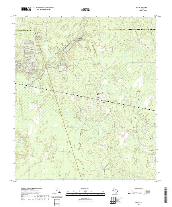 2022 Votaw2022 Print · USGSHardin and Liberty Counties come alive in this recent survey of the Big Thicket region. Researchers can trace family history at the Votaw Cem or locate the rural communities of Votaw, Fuqua, and Thicket among the winding bayous.
 - 2022 Map of Wolf Hill, 2022 Print
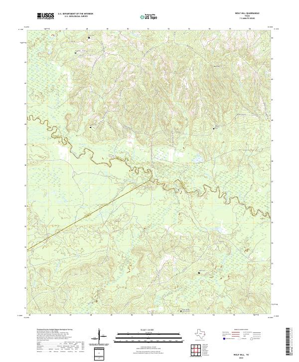 2022 Wolf Hill2022 Print · USGSThe Neches River valley at the junction of Angelina, Polk, and Tyler counties is shown here in the early twenty-first century. Genealogists can locate family burial sites across the river bottomlands, including Sulfur Springs Willson Cemetery, Weaver Cemetery, and Crain Cemetery.
 - 2022 Map of Wakefield, 2022 Print
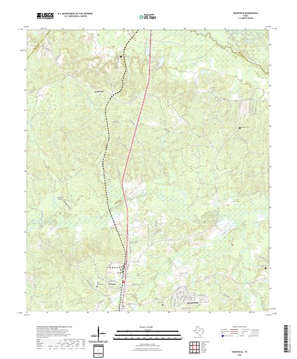 2022 Wakefield2022 Print · USGSThe Piney Woods of Polk County are documented here in the early 2020s, showing the intersection of river bottomlands and rural settlements. Researchers can locate family landmarks like Wheeler Cem, trace the Dollorhide Cutoff near the Neches River, or study the layout of Corrigan and Wakefield.
 - 2022 Map of Romayor, 2022 Print
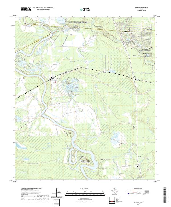 2022 Romayor2022 Print · USGSThe Trinity River bottomlands and the Big Thicket are captured here in the early twenty-first century. Researchers can trace family history at Romayor Cem or explore the geography of Big Thicket Lake Estates and the Chain-O-Lakes Resort.
 - 2022 Map of Pluck, 2022 Print
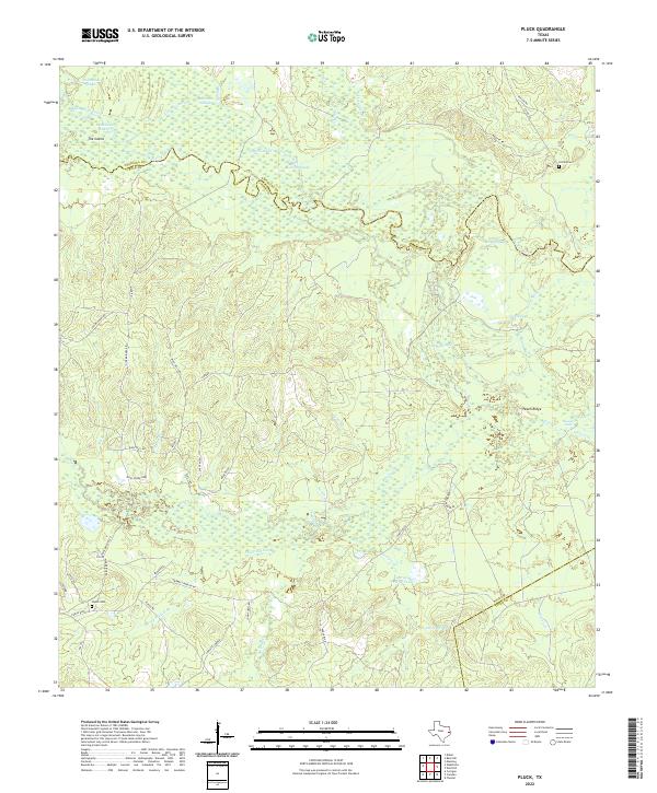 2022 Pluck2022 Print · USGSThe Neches River bottomlands of Polk and Angelina Counties are captured here in the early 2020s, showing a landscape of dense sloughs and winding creeks. Local researchers can locate family landmarks like Styker Cem, Conley's Corner, and the waters of Howell Lake.
 - 2022 Map of Livingston, 2022 Print
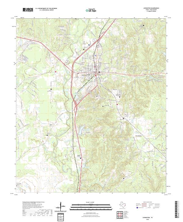 2022 Livingston2022 Print · USGSLivingston and the surrounding creek bottoms of Polk County appear in contemporary detail. Genealogists and local historians can trace family burial sites from Old City Cem to the Peebles Cem Old Israel Road and find the historic Polk County Courthouse.
 - 2022 Map of Goodrich, 2022 Print
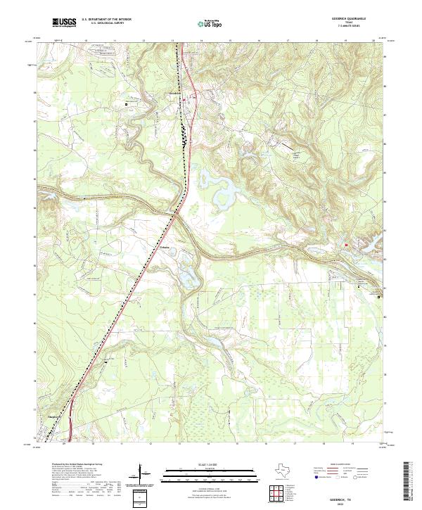 2022 Goodrich2022 Print · USGSThe Polk and San Jacinto county line follows the Trinity River in this 2022 survey of East Texas. Genealogists can locate family landmarks like Lake Station Baptist Church Cem, Lake Pool Cem, and the river crossing at Urbana.
 - 2022 Map of Leggett, 2022 Print
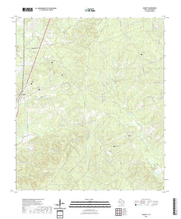 2022 Leggett2022 Print · USGSPolk County's deep piney woods are documented here in the early twenty-first century, showing a landscape of scattered settlements and ancestral landholdings. Researchers can locate numerous family burial sites including Pine Ridge Cem and Oats Cemetery near the banks of Big Sandy Cr.
Showing maps 1-25 of 30
Top cities of Polk County
- Livingston historical maps
- Corrigan historical maps
- Onalaska historical maps
- Goodrich historical maps
- Seven Oaks historical maps
Frequently asked questions
- What are the different types of historical maps available for Polk County?
- What is the oldest map of Polk County?
- Where can I purchase historical maps of Polk County for my home or office?
- Where can I download high-res historical maps of Polk County?
- Are there historical topographic maps available for Polk County?
- Is there historical aerial imagery available for Polk County?
- Where are historical maps of Polk County sourced from?