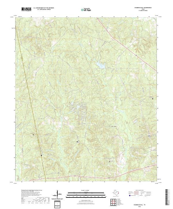
2022 Map of Chambliss Hill
USGS Topo · Published 2022About this map
Chambliss Hill dominates the terrain of this West Gulf Coastal Plain landscape along the border of Tyler and Polk Counties. The area is defined by a dense network of seasonal and perennial waterways, including Big Cypress Creek Jeko Lake, which feed into the larger Neches River basin. A notable concentration of cemeteries, such as Old Shiloh - Kirkland Cem and Shady Grove Cem, indicates a legacy of early family homesteads and rural church communities scattered through the piney woods.
Find a feature on this map
74 named features on this map. Tap any name to fly to it.
Don’t see what you’re looking for? This feature index may not catch every label — zoom into the map to look around manually.
Map Details
Editions of this 2022 Chambliss Hill Map
This is the sole edition of this map. No revisions or reprints were ever made.
Other maps of this area

1954 · Beaumont
USGS Topo · 1:250,000

1955 · Woodville
USGS Topo · 1:62,500

1955 · Camden
USGS Topo · 1:62,500

1957 · Beaumont
USGS Topo · 1:250,000

1958 · Segno
USGS Topo · 1:62,500

1958 · Warren
USGS Topo · 1:62,500

1984 · Hortense
USGS Topo · 1:24,000
1984 · Chester
USGS Topo · 1:24,000

1984 · Beaumont
USGS Topo · 1:250,000

1984 · Jacks Creek North
USGS Topo · 1:24,000