1970s Maps of Presidio County, Texas
Explore 35 historic maps of Presidio County from the 1970s. These maps offer a rare glimpse into what life looked like during the 1970s — showing old roads, neighborhoods, homes, and landmarks that have changed or disappeared over time.
Whether you're researching your family's past, planning a metal detecting trip, or studying how Presidio County's landscape evolved across the 1970s, these high-resolution maps are a powerful tool for exploring the history of this region.
- Focus on a specific era: All maps on this page are from the 1970s, giving you a focused view of this time period.
- See what’s changed: Compare century-old streets, trails, and buildings to today's modern landscape using overlays and satellite layers.
- Research with precision: Use these maps for genealogy, historical research, land use analysis, or educational projects.
- View, download, or print: Maps are fully viewable online in high resolution, and can be downloaded or printed for your own records.
Start exploring Presidio County's history through authentic maps from the 1970s. This is your window into the past.
Presidio County, TX maps
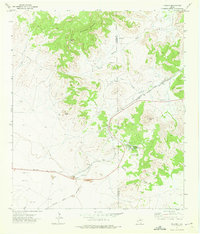
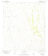
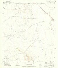
(35)- 1971 Map of Redford SE
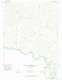
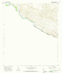 1971 Redford SE1971 Print · USGSThe Texas-Mexico borderlands come into sharp focus in the early 1970s along the winding Rio Grande. Researchers can trace the isolated Cem near the riverbank or navigate the deep drainage of Colorado Canyon and Closed Canyon.2 unique versions available
 - 1971 Map of The Solitario, 1974 Print
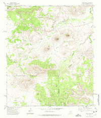
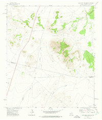
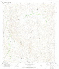 1971 The Solitario1974 Print · USGSThe Trans-Pecos high desert unfolds in the early seventies, centered on the massive geologic formation of The Solitario. Researchers can trace isolated ranching outposts like Burnt Camp and navigation points through the Righthand Shutup and Lower Shutup.
 - 1971 Map of Agua Adentro Mountain, 1974 Print
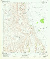
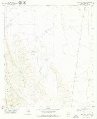
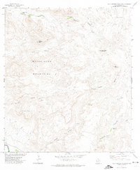 1971 Agua Adentro Mountain1974 Print · USGSThe high desert of Presidio County is shown in the early 1970s, a land of deep canyons and essential water holes. Researchers can trace remote ranching infrastructure like Alamito Dam and Corral, or locate springs such as Rancherias Spring and Oso Spring.2 unique versions available
 - 1971 Map of Sauceda Ranch, 1974 Print
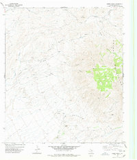
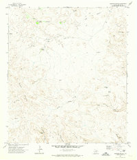 1971 Sauceda Ranch1974 Print · USGSPresidio County in the early seventies is a landscape of remote cattle outposts and vital desert water sources. Researchers can trace the layout of Sauceda Ranch and locate isolated landmarks like Madrid Falls or the Landing Strip.2 unique versions available
 - 1971 Map of Lajitas, 1974 Print
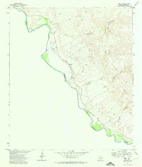
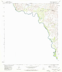
 1971 Lajitas1974 Print · USGSThe Chihuahuan Desert borderlands come to life in this early 1970s survey of the river country near the Brewster and Presidio county line. Researchers can trace remote mining operations at Whitroy Mine, old cattle landmarks like Madrid Ranch, and river crossings near Lajitas.3 unique versions available
 - 1971 Map of Redford, 1974 Print
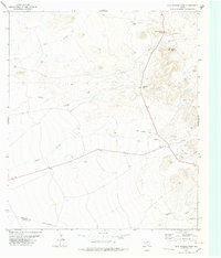
 1971 Redford1974 Print · USGSThe Texas-Mexico border comes into focus in the early seventies, showing the riverside settlement of Redford and the shifting channel of the Rio Grande. Genealogists and historians can trace local landmarks like Redford Cem, the PO, and the remote Jeep Trail through the Bofecillos highlands.2 unique versions available
 - 1971 Map of Santana Mesa, 1974 Print
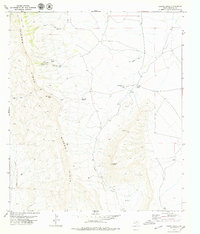
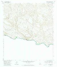 1971 Santana Mesa1974 Print · USGSPresidio County, Texas, meets the Mexican border in the early seventies along a jagged stretch of river and high desert. Researchers can trace remote ranching outposts at Madril, locate isolated water sources like Seep Spring, and follow the deep cuts of Madera Canyon.2 unique versions available
 - 1972 Map of Mesquite Spring, 1975 Print
 1972 Mesquite Spring1975 Print · USGSThe High Desert borderlands along the Rio Grande appear in detail in the early 1970s. Researchers can trace remote water sources like Mesquite Spring, isolated outposts at Sixty Six, and the winding path of the Green River.
 - 1972 Map of Paisano, 1975 Print
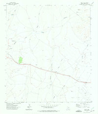
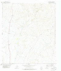
 1972 Paisano1975 Print · USGSThe high desert of West Texas is captured here in the early 1970s, focused on the strategic transit corridor of the Paisano Pass. Researchers can trace the shared rail lines of the Southern Pacific and Atchison Topeka and Santa Fe and locate landmarks like the Paisano Encampment.
 - 1972 Map of Mitre Peak, 1975 Print
 1972 Mitre Peak1975 Print · USGSThe high desert of Jeff Davis and Brewster counties is captured in the early 1970s as a land of dramatic summits and remote canyons. Researchers can trace the trails and water sources surrounding landmarks like Mitre Peak, Mitre Peak Camp, and the heights of the Twin Mountains.
 - 1972 Map of Nopal, 1975 Print
 1972 Nopal1975 Print · USGSPresidio County ranch lands and the outskirts of Marfa are captured here in the early seventies, centered on the SOUTHERN PACIFIC line. Local historians can trace the desert drainage systems of Colquitt Draw and find specific landmarks like the Rodeo Ground and Nopal Ranch.
 - 1972 Map of Soldier Spring, 1975 Print
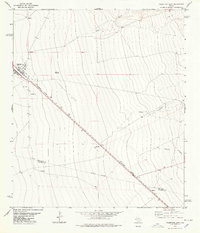
 1972 Soldier Spring1975 Print · USGSThe high desert of West Texas and the international border come into sharp focus in the early seventies. Trace the remnants of an Old Railroad Grade or locate remote ranching outposts like Ninetysix Camp and Soldier Spring.
 - 1972 Map of Mano Prieto Mountain, 1975 Print
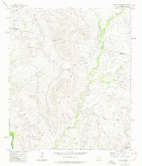
 1972 Mano Prieto Mountain1975 Print · USGSJeff Davis and Presidio Counties appear here in the early 1970s, showing a landscape defined by high peaks and long desert washes. Researchers can trace land boundaries across Puertacitas Mountains or locate landmarks like Musquiz Canyon and Ponder Draw.
 - 1972 Map of Bennett Ranch, 1975 Print
 1972 Bennett Ranch1975 Print · USGSThe high desert of Presidio County meets the international border in the early 1970s, where the river carves through a landscape of deep canyons. Researchers can locate remote infrastructure like the Bennett Ranch, its adjacent Landing Strip, and Ash Spring.
 - 1973 Map of Fort Stockton, 1974 Print
 1973 Fort Stockton1974 Print · USGSThe Trans-Pecos region of West Texas comes alive in the early seventies, from the desert flats of the Stockton Plateau to the heights of the Davis Mountains. Researchers can trace the legacy of frontier outposts and rail lines through Fort Davis Nat Hist Site, Alpine, and the Southern Pacific RR.
 - 1978 Map of La Boquilla
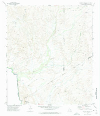
 1978 La Boquilla1978 Print · USGSThe Trans-Pecos desert of Presidio County is captured here in the late seventies, showing a land shaped by deep arroyos and remote ranching. Researchers can trace the path of the Escondido Trail or locate water sources like La Boquilla Springs and Twin Mills.
 - 1978 Map of Valentine East
 1978 Valentine East1978 Print · USGSThe high desert of Jeff Davis and Presidio counties comes to life in the late seventies as the rail line connects remote outposts. Trace ranching history through the Bell Place Windmill and family-named spots like Youngblood or Quebec.
 - 1978 Map of Gettysburg Peak
 1978 Gettysburg Peak1978 Print · USGSPresidio County was a remote frontier for ranching and mining during the late 1970s. Researchers can trace the industrial history of the Old R.R. Grade leading to the San Carlos Mine or locate water sources like Quemado Spring.
 - 1978 Map of Vieja Pass
 1978 Vieja Pass1978 Print · USGSThe high desert of West Texas is captured here in the late seventies, showing the remote ranching country straddling the county line. Researchers can trace the water infrastructure of the day, from Miller Ranch to Vieja Spring and the Bobcat Canyon Windmill.
 - 1978 Map of Sierra Parda
 1978 Sierra Parda1978 Print · USGSThe high peaks of the Chinati Mountains and Sierra Parda dominate this Presidio County landscape during the late seventies. Researchers can trace remote desert outposts like Nunez Ranch and locate historical mining sites including the Burney Mine and various prospects.
 - 1978 Map of San Antonio Pass
 1978 San Antonio Pass1978 Print · USGSJeff Davis County ranchlands are captured here in the late 1970s, showcasing the high-desert terrain of the Trans-Pecos. Researchers can locate established cattle operations like Gearhart Ranch and Kelly Ranch or trace the drainage of Bat Cave Canyon and Medley Draw.
 - 1978 Map of Valentine West
 1978 Valentine West1978 Print · USGSJeff Davis and Presidio Counties appear here in the late seventies, centered on the railroad hub of Valentine. Researchers can trace the ranching history of the Trans-Pecos through sites like Roosevelt Ranch, Conring Ranch, and the Southern Pacific line.
 - 1978 Map of Capote Peak, 1979 Print
 1978 Capote Peak1979 Print · USGSThe high Sierra Vieja and Presidio County ranch lands are documented here in the late 1970s. Trace remote desert outposts and water infrastructure from Rancho Cielo to the Lucky Strike Well and the prominent Capote Peak.
 - 1979 Map of Indio
 1979 Indio1979 Print · USGSThe Texas-Mexico border along the Rio Grande comes into focus in the late 1970s. Trace family roots at Spencer Cem and explore small border settlements such as Indio, El Ramireño, and Ochoa.
 - 1979 Map of Nancy Anne Ranch
 1979 Nancy Anne Ranch1979 Print · USGSPresidio County ranching life in the late seventies is centered on remote outposts and essential water infrastructure. Researchers can trace the layout of the Nancy Anne Ranch and Old Chilcote Ranch or locate desert water sources like Durazno Tank and Snyder Well.
Showing maps 1-25 of 35
Top cities of Presidio County
- Presidio historical maps
- Marfa historical maps
- Redford historical maps
- Candelaria historical maps
- Ruidosa historical maps
- Plata historical maps
See more
Frequently asked questions
- What are the different types of historical maps available for Presidio County?
- What is the oldest map of Presidio County?
- Where can I purchase historical maps of Presidio County for my home or office?
- Where can I download high-res historical maps of Presidio County?
- Are there historical topographic maps available for Presidio County?
- Is there historical aerial imagery available for Presidio County?
- Where are historical maps of Presidio County sourced from?