2000s (21st Century) Maps of Presidio County, Texas
Explore 385 historic maps of Presidio County from the 2000s (21st Century). These maps offer a rare glimpse into what life looked like during the 2000s — showing old roads, neighborhoods, homes, and landmarks that have changed or disappeared over time.
Whether you're researching your family's past, planning a metal detecting trip, or studying how Presidio County's landscape evolved across the 2000s, these high-resolution maps are a powerful tool for exploring the history of this region.
- Focus on a specific era: All maps on this page are from the 2000s, giving you a focused view of this time period.
- See what’s changed: Compare century-old streets, trails, and buildings to today's modern landscape using overlays and satellite layers.
- Research with precision: Use these maps for genealogy, historical research, land use analysis, or educational projects.
- View, download, or print: Maps are fully viewable online in high resolution, and can be downloaded or printed for your own records.
Start exploring Presidio County's history through authentic maps from the 2000s. This is your window into the past.
Presidio County, TX maps
(385)- 2010 Map of Smith Hills, 2010 Print
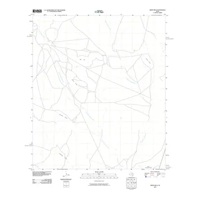 2010 Smith Hills2010 Print · USGSCovers Presidio County, including Jeff Davis County, United States, and other nearby areas
 - 2010 Map of Ryan SW, 2010 Print
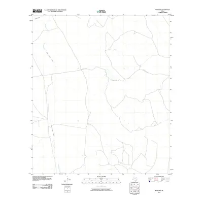 2010 Ryan SW2010 Print · USGSCovers Presidio County, including United States, Texas, and other nearby areas
 - 2010 Map of Tinaja NE, 2010 Print
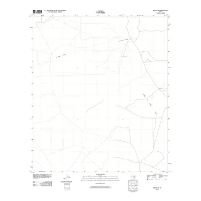 2010 Tinaja NE2010 Print · USGSCovers Presidio County, including Brewster County, United States, and other nearby areas
 - 2010 Map of The Solitario, 2010 Print
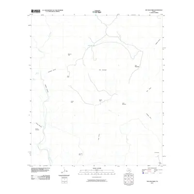 2010 The Solitario2010 Print · USGSCovers Presidio County, including Brewster County, United States, and other nearby areas
 - 2010 Map of Bandera Mesa South, 2010 Print
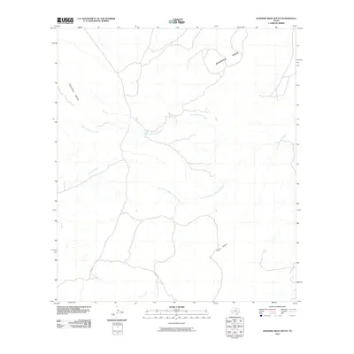 2010 Bandera Mesa South2010 Print · USGSCovers Presidio County, including Brewster County, United States, and other nearby areas
 - 2010 Map of Cerros Prietos, 2010 Print
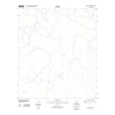 2010 Cerros Prietos2010 Print · USGSCovers Presidio County, including United States, Texas, and other nearby areas
 - 2010 Map of McKinney Mountain, 2010 Print
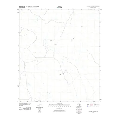 2010 McKinney Mountain2010 Print · USGSCovers Presidio County, including Brewster County, United States, and other nearby areas
 - 2010 Map of Jordan Gap, 2010 Print
 2010 Jordan Gap2010 Print · USGSCovers Presidio County, including United States, Texas, and other nearby areas
 - 2010 Map of Plata NE, 2010 Print
 2010 Plata NE2010 Print · USGSCovers Presidio County, including Plata, United States, and other nearby areas
 - 2010 Map of Sauceda Ranch, 2010 Print
 2010 Sauceda Ranch2010 Print · USGSCovers Presidio County, including Papalote Escondido - Destroyed, Papalote Llano, and other nearby areas
 - 2010 Map of Plata, 2010 Print
 2010 Plata2010 Print · USGSCovers Presidio County, including United States, Texas, and other nearby areas
 - 2010 Map of Chinati Peak, 2010 Print
 2010 Chinati Peak2010 Print · USGSCovers Presidio County, including Chaffin Place, United States, and other nearby areas
 - 2010 Map of La Mota Mountain, 2010 Print
 2010 La Mota Mountain2010 Print · USGSCovers Presidio County, including United States, Texas, and other nearby areas
 - 2010 Map of Cerro Orona, 2010 Print
 2010 Cerro Orona2010 Print · USGSCovers Presidio County, including United States, Texas, and other nearby areas
 - 2010 Map of Agua Adentro Mountain, 2010 Print
 2010 Agua Adentro Mountain2010 Print · USGSCovers Presidio County, including Papalotito Colorado, Ojinaga, and other nearby areas
 - 2010 Map of Manzanillo Canyon, 2010 Print
 2010 Manzanillo Canyon2010 Print · USGSCovers Presidio County, including United States, Texas, and other nearby areas
 - 2010 Map of Sierra Parda, 2010 Print
 2010 Sierra Parda2010 Print · USGSCovers Presidio County, including United States, Texas, and other nearby areas
 - 2010 Map of Horseshoe Mountains, 2010 Print
 2010 Horseshoe Mountains2010 Print · USGSCovers Presidio County, including United States, Texas, and other nearby areas
 - 2010 Map of Casa Piedra, 2010 Print
 2010 Casa Piedra2010 Print · USGSCovers Presidio County, including Casa Piedra, United States, and other nearby areas
 - 2010 Map of Puerto Potrillo, 2010 Print
 2010 Puerto Potrillo2010 Print · USGSCovers Presidio County, including United States, Texas, and other nearby areas
 - 2010 Map of Alamo Spring, 2010 Print
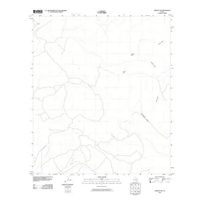
 2010 Alamo Spring2010 Print · USGSCovers Presidio County, including United States, Texas, and other nearby areas
 - 2010 Map of Paradise Draw, 2010 Print
 2010 Paradise Draw2010 Print · USGSCovers Presidio County, including Brewster County, United States, and other nearby areas
 - 2010 Map of Bandera Mesa North, 2010 Print
 2010 Bandera Mesa North2010 Print · USGSCovers Presidio County, including Brewster County, United States, and other nearby areas
 - 2010 Map of La Boquilla, 2010 Print
 2010 La Boquilla2010 Print · USGSCovers Presidio County, including Las Pampas Colonia, United States, and other nearby areas
 - 2010 Map of Cieneguita, 2010 Print
 2010 Cieneguita2010 Print · USGSCovers Presidio County, including United States, Texas, and other nearby areas
Showing maps 1-25 of 385
Top cities of Presidio County
- Presidio historical maps
- Marfa historical maps
- Redford historical maps
- Candelaria historical maps
- Ruidosa historical maps
- Plata historical maps
See more
Frequently asked questions
- What are the different types of historical maps available for Presidio County?
- What is the oldest map of Presidio County?
- Where can I purchase historical maps of Presidio County for my home or office?
- Where can I download high-res historical maps of Presidio County?
- Are there historical topographic maps available for Presidio County?
- Is there historical aerial imagery available for Presidio County?
- Where are historical maps of Presidio County sourced from?