2020s Maps of Presidio County, Texas
Explore 77 historic maps of Presidio County from the 2020s. These maps offer a rare glimpse into what life looked like during the 2020s — showing old roads, neighborhoods, homes, and landmarks that have changed or disappeared over time.
Whether you're researching your family's past, planning a metal detecting trip, or studying how Presidio County's landscape evolved across the 2020s, these high-resolution maps are a powerful tool for exploring the history of this region.
- Focus on a specific era: All maps on this page are from the 2020s, giving you a focused view of this time period.
- See what’s changed: Compare century-old streets, trails, and buildings to today's modern landscape using overlays and satellite layers.
- Research with precision: Use these maps for genealogy, historical research, land use analysis, or educational projects.
- View, download, or print: Maps are fully viewable online in high resolution, and can be downloaded or printed for your own records.
Start exploring Presidio County's history through authentic maps from the 2020s. This is your window into the past.
Presidio County, TX maps
(77)- 2022 Map of Manzanillo Canyon, 2022 Print
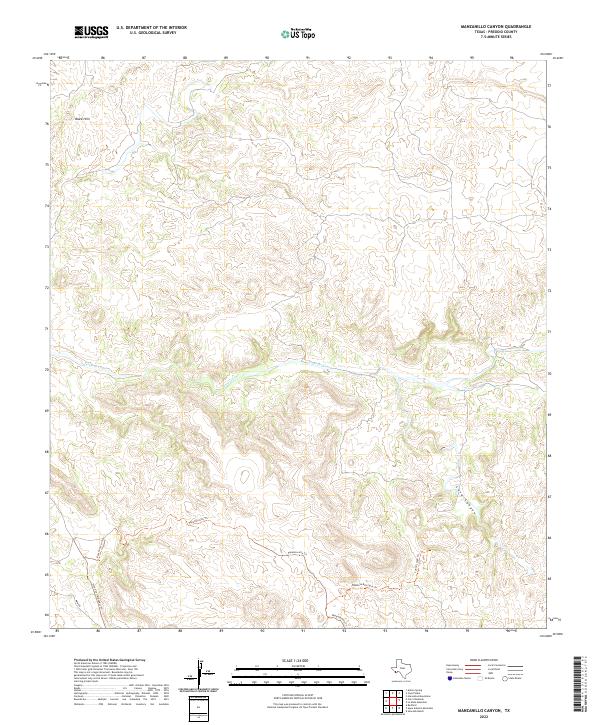 2022 Manzanillo Canyon2022 Print · USGSPresidio County's desert uplands are mapped here in the early twenty-first century, showing a remote landscape defined by seasonal water and high-country trails. Researchers can trace the path of Terneros Creek and locate routes like Rancho Viejo Trl and the Stone Coral Bypass Trl.
 - 2022 Map of Las Conchas, 2022 Print
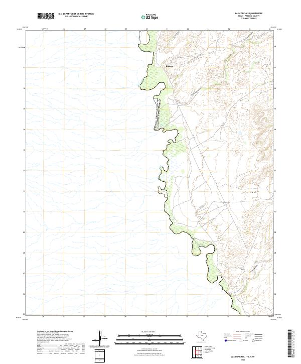 2022 Las Conchas2022 Print · USGSThe Rio Grande borderlands in Presidio County are captured here in the early twenty-first century. Researchers can trace the rugged approach to Ruidosa and follow the paths of Arroyo Escondido and Pinto Canyon Rd through the desert.
 - 2022 Map of Arroyo Melado, 2022 Print
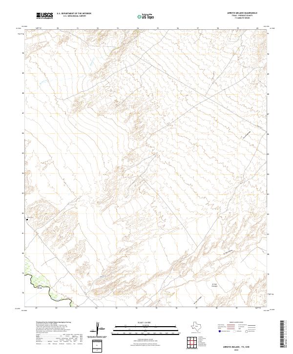 2022 Arroyo Melado2022 Print · USGSPresidio County's borderlands are mapped here at the start of the 2020s, where the winding Rio Grande meets the high desert. Genealogists and local historians can trace the area's geography through landmarks like Ochoa Cem and the drainages of Arroyo Melado and Arroyo Chillon.
 - 2022 Map of Redford SE, 2022 Print
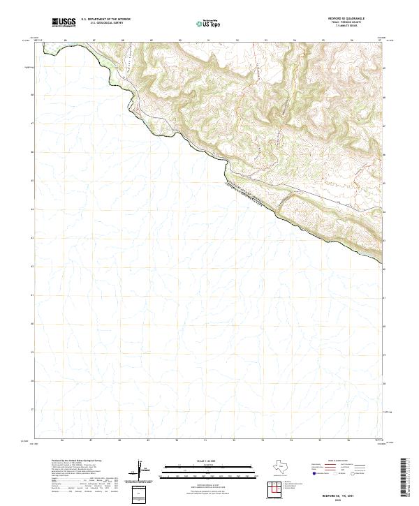 2022 Redford SE2022 Print · USGSThe international border along the Rio Grande in Presidio County is shown in the early twenty-first century. Researchers can trace the path of FM 170 and explore the natural drainage of Tapado Canyon, Rancherias Canyon, and Canyon Colorado.
 - 2022 Map of Sierra Parda, 2022 Print
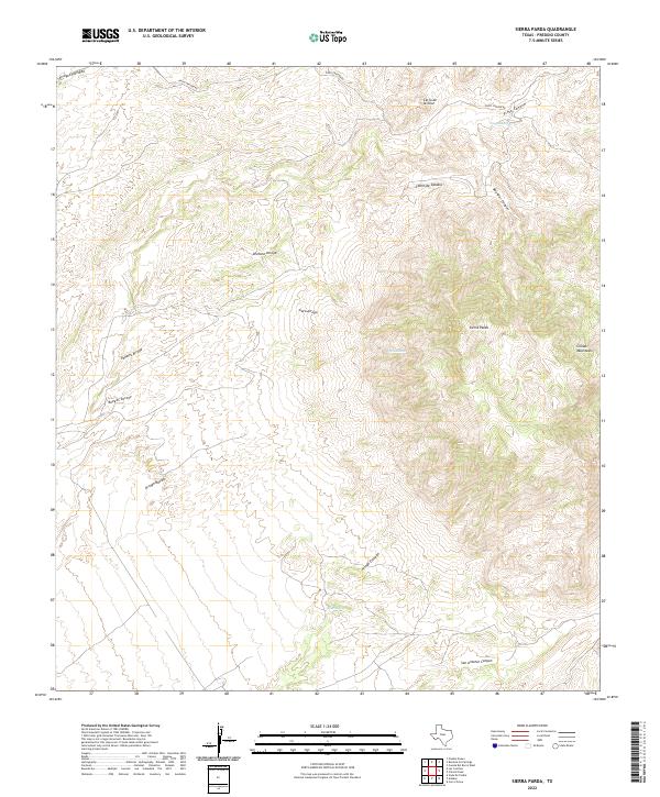 2022 Sierra Parda2022 Print · USGSPresidio County's high desert terrain is meticulously charted here in the early twenty-first century, showing the rugged reach of the Chinati Mountains. Researchers can locate historic water sources like Indian Spring and trace the paths of Arroyo Cienega and Ojo Alamito.
 - 2022 Map of Adobes, 2022 Print
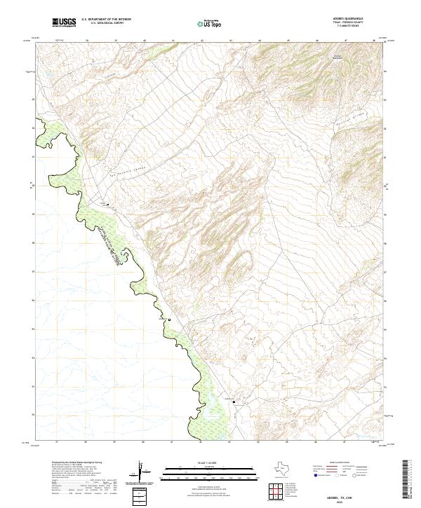 2022 Adobes2022 Print · USGSThe Texas-Mexico borderlands along the Rio Grande appear here in recent detail, showing the arid terrain south of the Chinati Mountains. Researchers can locate remote burial sites like Adobe Cem and Chinati Cem or trace the path of FM 170 through San Antonio Canyon.
 - 2022 Map of Plata NE, 2022 Print
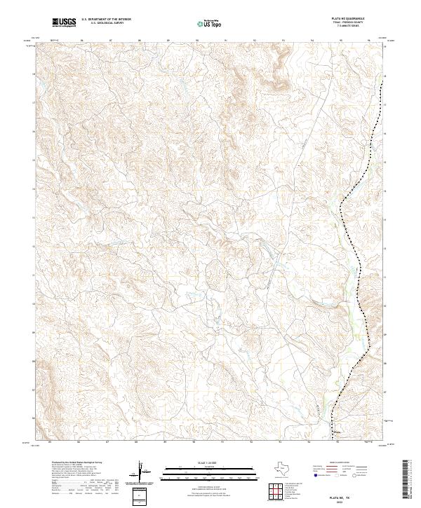 2022 Plata NE2022 Print · USGSPresidio County ranchlands are captured here in the early twenty-first century, showing the isolated settlement patterns of the high desert. Researchers can trace the winding paths of Matonoso Creek and Dunman Creek as they converge near Plata.
 - 2022 Map of Alamo Spring, 2022 Print
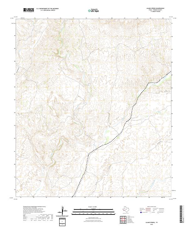 2022 Alamo Spring2022 Print · USGSPresidio County's desert interior is mapped in the modern era, showing the intersection of isolated transit routes and arid watercourses. Researchers can trace the paths of Alamito Cr and Cienega Cr alongside local thoroughfares like Casa Piedra Rd.
 - 2022 Map of Cerro Orona, 2022 Print
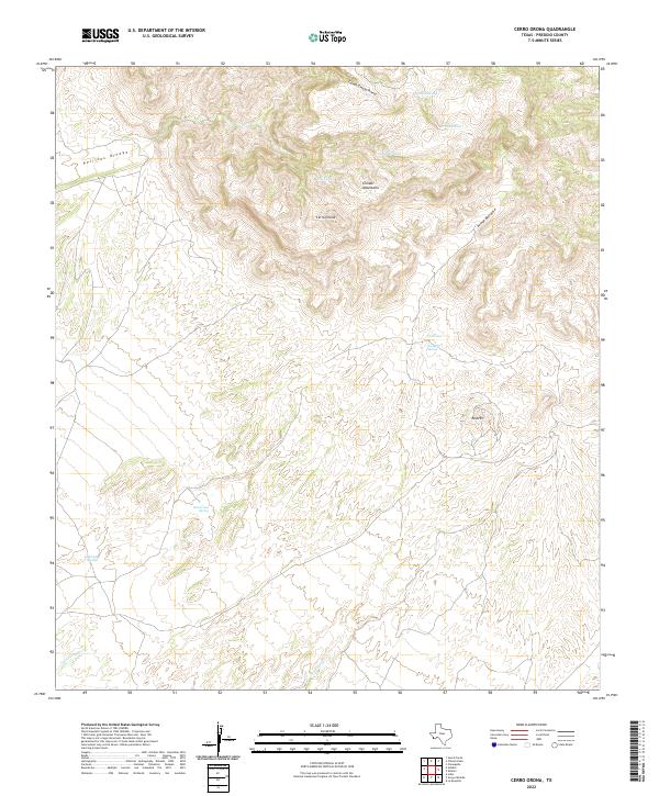 2022 Cerro Orona2022 Print · USGSPresidio County's high desert terrain is documented in this modern survey of the southern Chinati range. Researchers can trace historic water sources and landmarks including Jesusita Spring, Cerro Oróna, and the drainage of Arroyo Borracho.
 - 2022 Map of Indio, 2022 Print
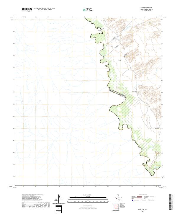 2022 Indio2022 Print · USGSPresidio County's borderlands appear here in the early twenty-first century, showing the remote ranching landscape along the river. Researchers can locate family landmarks like the Indio Ranch Cem, Spencer Cem, and the small settlements of Indio and Ochoa.
 - 2022 Map of Vado De Piedra, 2022 Print
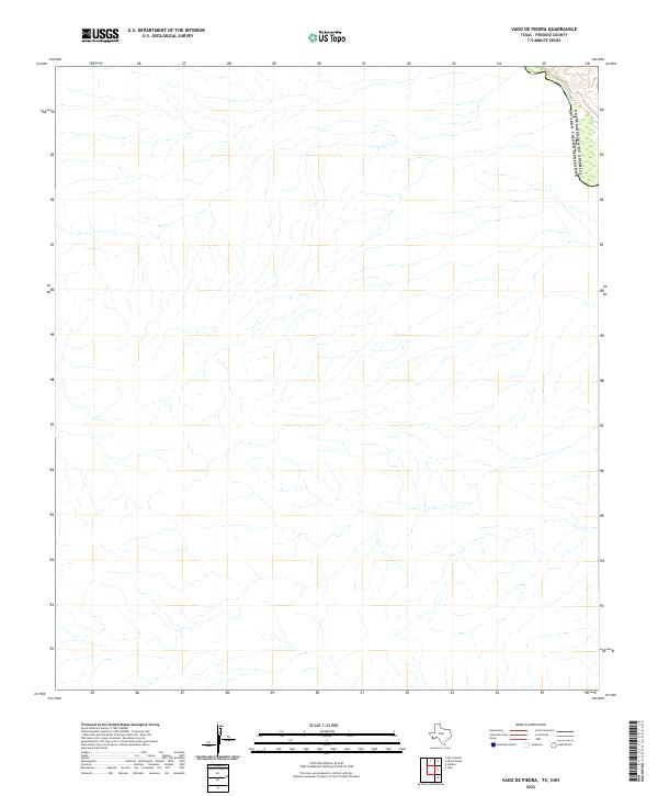 2022 Vado De Piedra2022 Print · USGSThe international border in Presidio County is traced in this 2022 survey, highlighting a remote desert reach of the river. Modern researchers can examine the exact boundary between the United States of America and Estados Unidos Mexicanos along the winding Rio Grande.
 - 2022 Map of Cerro Redondo, 2022 Print
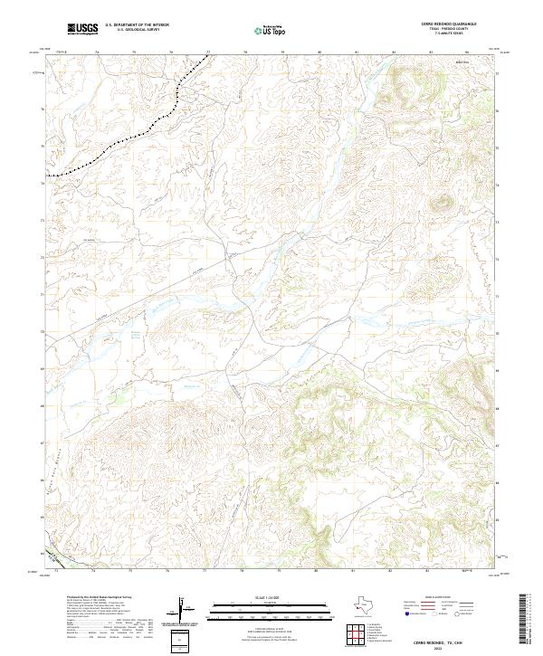 2022 Cerro Redondo2022 Print · USGSPresidio County ranching lands and the desert breaks above the Rio Grande are captured here in the early twenty-first century. Researchers can trace remote routes like Casa Piedra and Boficillos Rd to isolated landmarks such as San Marino and Rabago y Teran Springs.
 - 2022 Map of Agua Adentro Mountain, 2022 Print
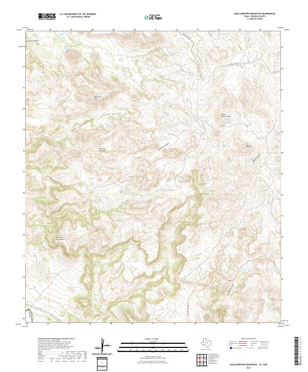 2022 Agua Adentro Mountain2022 Print · USGSHigh-desert terrain in the Bofecillos Mountains is captured here just as modern conservation efforts have preserved its backcountry character. Researchers can trace historic water sources like Agua Adentro Spring and primitive routes such as the Ojito Adentro Trl.
 - 2022 Map of Presidio West, 2022 Print
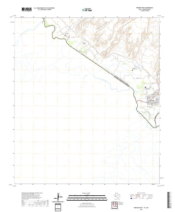 2022 Presidio West2022 Print · USGSPresidio and the international border along the Rio Grande are captured here in the early 2020s. Researchers can locate family sites like Haciendita Cem and the Santa Teresa Church Cem near the confluence of Cibolo Cr.
 - 2022 Map of Shafter, 2022 Print
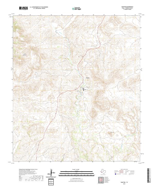 2022 Shafter2022 Print · USGSThe high desert of Presidio County is shown here in the 2020s, centered on the historic mining outpost of Shafter. Genealogists and local historians can locate family burial sites at Concordia Cem and Brooks - Fuentes Cem near the banks of Cibolo Cr.
 - 2022 Map of Chinati Peak, 2022 Print
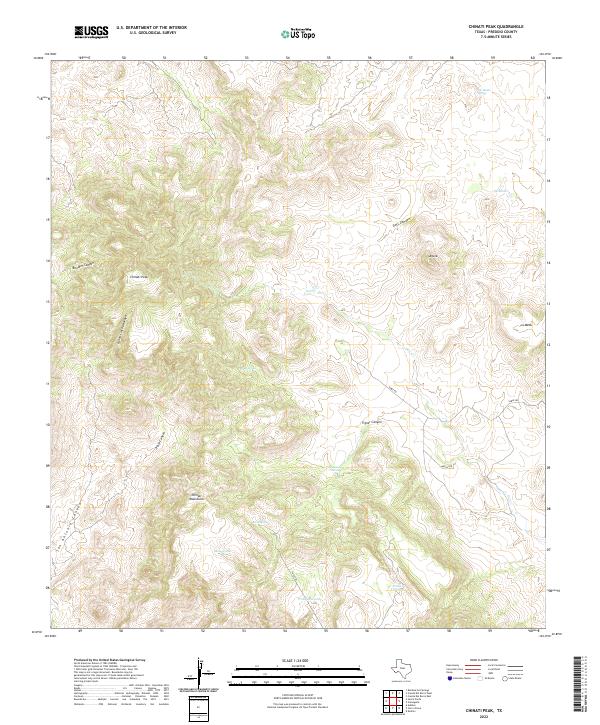 2022 Chinati Peak2022 Print · USGSPresidio County's high desert peaks and deep arroyos are mapped here during the early 2020s, showing the vital water sources of the Chinati Mountains. Trace the remote routes of Sable Rd and the Pack Trl to find named springs like Ojo Bonito Spring and Bull Spring.
 - 2022 Map of Redford, 2022 Print
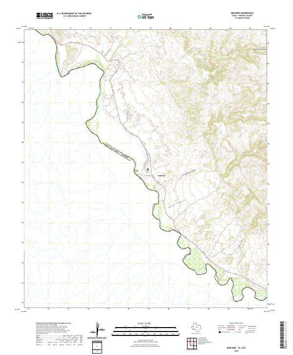 2022 Redford2022 Print · USGSThe Chihuahuan Desert meets the Rio Grande in this recent survey of the Texas-Mexico borderlands near Redford. Genealogists and local historians can trace the roads and landmarks of these river settlements, from Redford Cem to the old community at Polvo.
 - 2022 Map of Cieneguita, 2022 Print
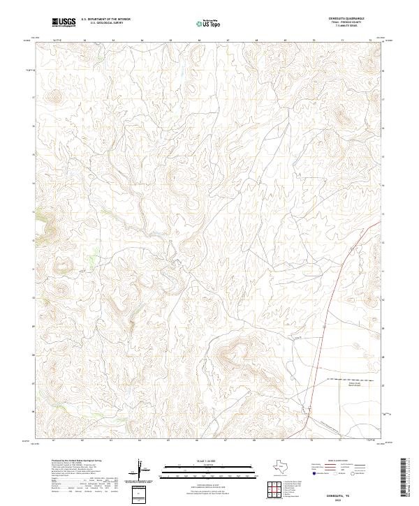 2022 Cieneguita2022 Print · USGSPresidio County's high-desert landscape appears in the early 2020s, centered on the deep drainages of the Trans-Pecos. Researchers can trace the rugged network of ranching roads like Sable Rd and Fryer Ranch Rd to the Cibolo Creek Ranch Airport.
 - 2022 Map of Casa Piedra, 2022 Print
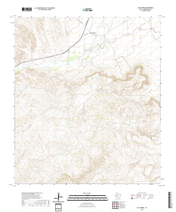 2022 Casa Piedra2022 Print · USGSDeep in Presidio County, the high desert terrain around Casa Piedra shows its character in the early 2020s through its remote road networks and seasonal watercourses. Researchers can trace the paths of Alamito Cr and find local landmarks like White Spring.
 - 2022 Map of Plata, 2022 Print
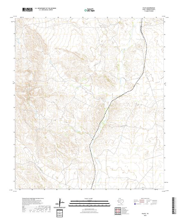 2022 Plata2022 Print · USGSPresidio County ranch lands and desert drainages are captured here in the contemporary era. Trace the paths of Alamito Cr and Kirby Cr alongside local ranching routes like Coffee Cup Ranch Rd and Ranch Rd 169.
 - 2022 Map of La Boquilla, 2022 Print
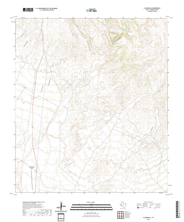 2022 La Boquilla2022 Print · USGSPresidio County's arid borderlands appear in sharp detail during the early 2020s, showing a landscape defined by desert drainages. Researchers can trace the rugged network of Cibolo Cr and its tributaries, including Arroyo Chillon and Arroyo Tinaja Escondido.
 - 2022 Map of Cerros Prietos, 2022 Print
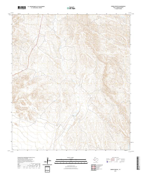 2022 Cerros Prietos2022 Print · USGSPresidio County's arid high-country terrain is documented in this contemporary survey of the Far West Texas landscape. Researchers can trace the path of Highway 67 and follow the drainage of Sauceda Creek and Dunman Creek through the desert.
 - 2022 Map of Presidio East, 2022 Print
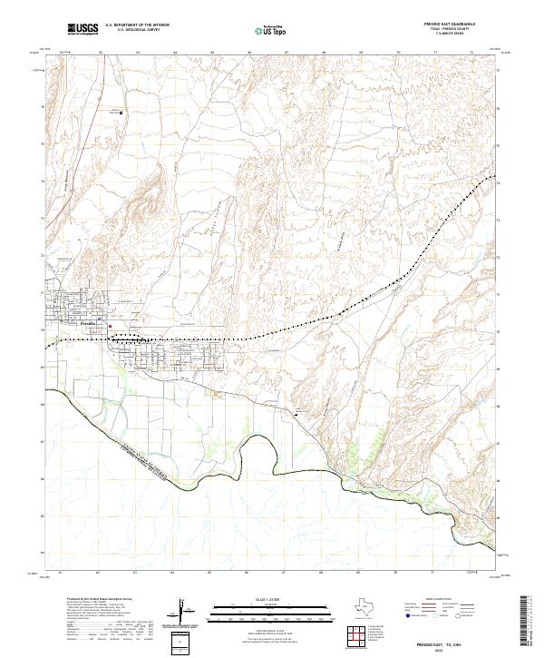 2022 Presidio East2022 Print · USGSPresidio sits at the international border in the early 2020s, where the desert floor meets the winding banks of the Rio Grande. Genealogists and local historians can locate Desert Hills Cemetery, trace the path of Alamito Creek, and study the residential layout of Presidio along FM 170.
 - 2022 Map of Cienega Mountains, 2022 Print
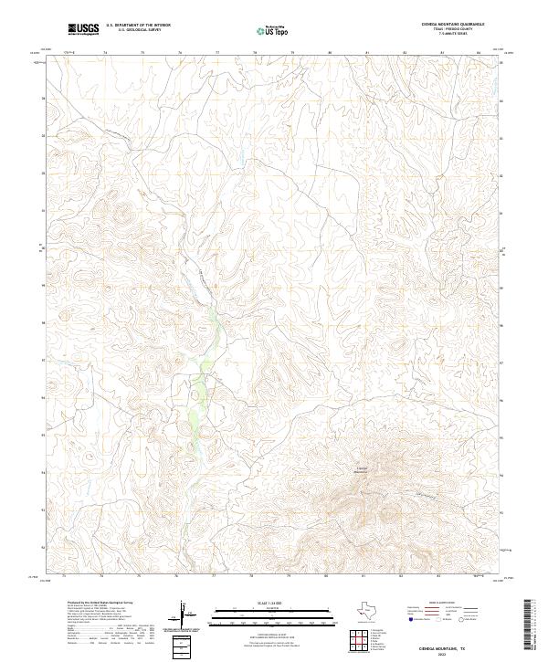 2022 Cienega Mountains2022 Print · USGSPresidio County in the early twenty-twenties is captured here as a landscape of high peaks and essential watercourses. Researchers can trace the rugged contours of the Cienega Mountains and find remote access via Charco Bracero Creek Rd and Cienega Mountain Rd.
 - 2022 Map of La Mota Mountain, 2022 Print
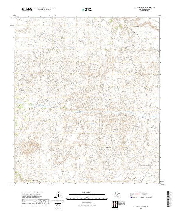 2022 La Mota Mountain2022 Print · USGSPresidio County in the early twenty-first century reveals a remote landscape of high mesas and desert springs. Researchers can trace historic movement through the Big Bend backcountry along the Upper Leyva Trl and near the prominent La Mota Mtn.
Showing maps 1-25 of 77
Top cities of Presidio County
- Presidio historical maps
- Marfa historical maps
- Redford historical maps
- Candelaria historical maps
- Ruidosa historical maps
- Plata historical maps
See more
Frequently asked questions
- What are the different types of historical maps available for Presidio County?
- What is the oldest map of Presidio County?
- Where can I purchase historical maps of Presidio County for my home or office?
- Where can I download high-res historical maps of Presidio County?
- Are there historical topographic maps available for Presidio County?
- Is there historical aerial imagery available for Presidio County?
- Where are historical maps of Presidio County sourced from?