2020s Maps of Starr County, Texas
Explore 32 historic maps of Starr County from the 2020s. These maps offer a rare glimpse into what life looked like during the 2020s — showing old roads, neighborhoods, homes, and landmarks that have changed or disappeared over time.
Whether you're researching your family's past, planning a metal detecting trip, or studying how Starr County's landscape evolved across the 2020s, these high-resolution maps are a powerful tool for exploring the history of this region.
- Focus on a specific era: All maps on this page are from the 2020s, giving you a focused view of this time period.
- See what’s changed: Compare century-old streets, trails, and buildings to today's modern landscape using overlays and satellite layers.
- Research with precision: Use these maps for genealogy, historical research, land use analysis, or educational projects.
- View, download, or print: Maps are fully viewable online in high resolution, and can be downloaded or printed for your own records.
Start exploring Starr County's history through authentic maps from the 2020s. This is your window into the past.
Starr County, TX maps
(32)- 2022 Map of Santa Elena SE, 2022 Print
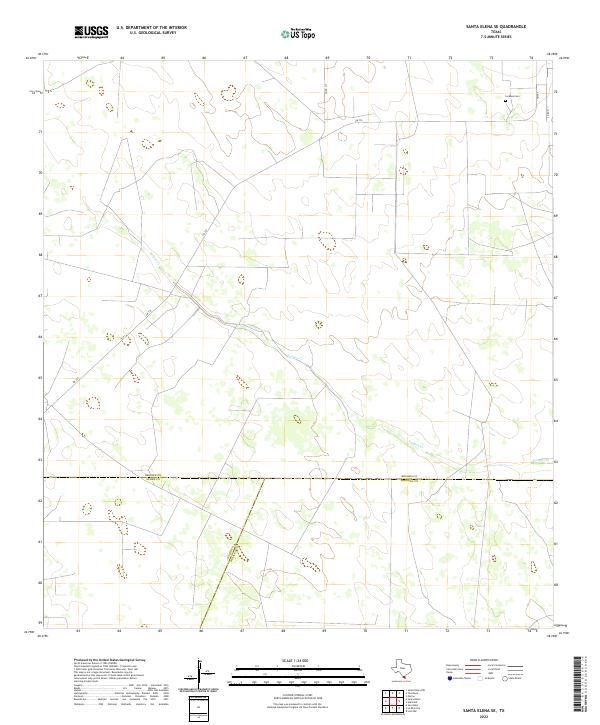 2022 Santa Elena SE2022 Print · USGSThe South Texas brush country at the meeting of Brooks, Starr, and Hidalgo counties is captured here in the early 2020s. Genealogists and researchers can locate La Mesa Cem or trace the path of Vargas Cr near the junction of FM 755.
 - 2022 Map of Rio Grande City South, 2022 Print
 2022 Rio Grande City South2022 Print · USGSThe Rio Grande frontier in South Texas comes into focus here, showing the growth of colonias near the border. Researchers can trace local lineage at Jose Marie Lopez Cem and explore family-named tracts like Garza-Salinas II and Las Lomas.
 - 2022 Map of El Sauz, 2022 Print
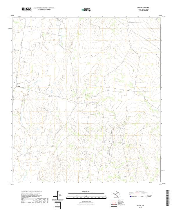 2022 El Sauz2022 Print · USGSThe ranching country of Starr County is captured here in the early twenty-first century, centered on the community of El Sauz. Genealogists and local historians can trace the rural road network including Old El Sauz Rd and locate the El Sauz Cem.
 - 2022 Map of Las Islas Ranch, 2022 Print
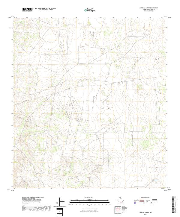 2022 Las Islas Ranch2022 Print · USGSSouthern Texas ranching country in the early 2020s remains a landscape of open space and utility roads. Researchers can trace the modern boundaries of large landholdings along Ranch Rd 2686 and follow the paths of San Blas Ranch Rd and Alaniz Rd.
 - 2022 Map of Borregos Ranch, 2022 Print
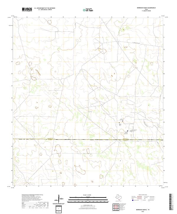 2022 Borregos Ranch2022 Print · USGSJim Hogg and Starr Counties are shown here during the early 2020s, a period defined by enduring family ranching traditions in South Texas. Researchers can locate family landmarks such as the Santiago Olivarez Family Cem and the Aurora Ranch Cem along FM 1017.
 - 2022 Map of La Grulla, 2022 Print
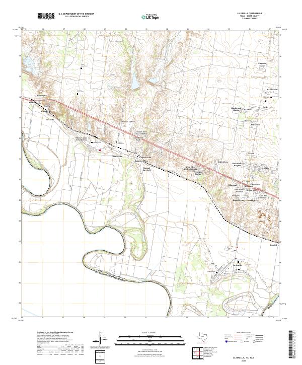 2022 La Grulla2022 Print · USGSStarr County settlements cluster along the Rio Grande corridor in this 2020s study of the Texas-Mexico borderlands. Family historians can trace local heritage through numerous burial sites like Longoria Cem and San Vicente Cem, alongside rural colonias like Garciasville.
 - 2022 Map of Santa Elena, 2022 Print
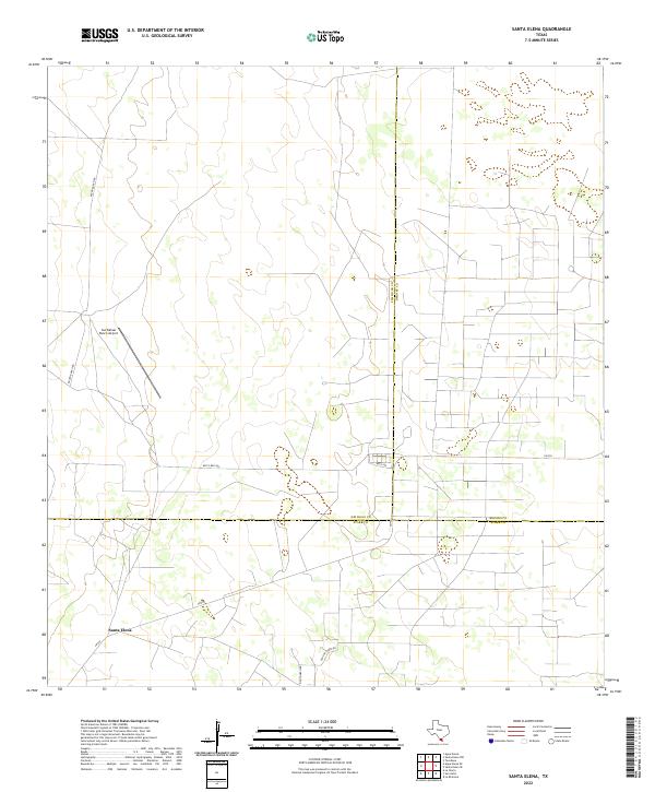 2022 Santa Elena2022 Print · USGSThe ranchlands of South Texas appear in this recent survey where three counties meet at the community of Santa Elena. Genealogists and local historians can trace family landholdings and rural routes like Bazon Ranch Rd and Old Church Rd.
 - 2022 Map of San Isidro, 2022 Print
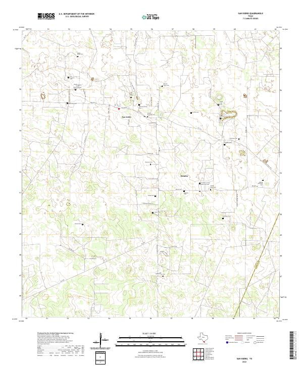 2022 San Isidro2022 Print · USGSThe ranching country of northern Starr County remains a landscape of deep family heritage in the early 2020s. Genealogists can trace numerous ancestral burial sites including Nieves Garcia Senior Memorial Cem, San Isidro Cem, and Delmita Cem.
 - 2022 Map of Camp Garcia, 2022 Print
 2022 Camp Garcia2022 Print · USGSStarr County ranch lands are captured here during a period of steady rural development in the early twenty-first century. Genealogists can locate the Santa Rosa Ranch Cem and the settlement of Elias-Fela Solis along FM 2360.
 - 2022 Map of Cuevitas SW, 2022 Print
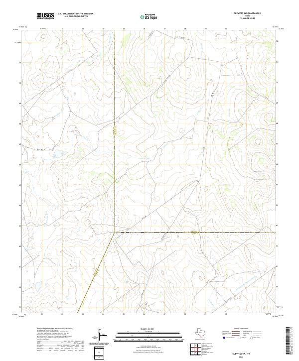 2022 Cuevitas SW2022 Print · USGSThe intersection of Jim Hogg, Zapata, and Starr Counties in the early 2020s reveals a landscape shaped by ranching and seasonal waterways. Researchers can trace the paths of San Juan Cr and Chico Cr alongside local routes like El Tecolote Ranch Rd and Loma Blanca Rd.
 - 2022 Map of Las Escobas Ranch, 2022 Print
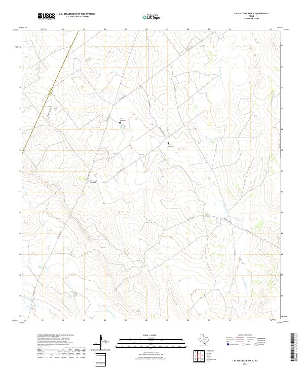 2022 Las Escobas Ranch2022 Print · USGSThe ranchlands of Starr and Zapata County are captured here in the early twenty-first century, showing the enduring rural layout of South Texas. Researchers can locate remote family burial sites like Agua Dulce Cem and Una De Gato Cem tucked along routes such as San Roman Rd.
 - 2022 Map of Agua Nueva SE, 2022 Print
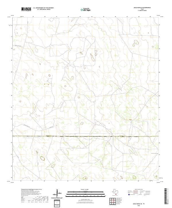 2022 Agua Nueva SE2022 Print · USGSThe South Texas brush country at the county line is captured in this recent survey of ranching territory. Genealogists and researchers can trace local land access via Borregos Ranch Rd, Ramirito Ranch Rd, and the isolated stretch of Jonquil.
 - 2022 Map of La Gloria SW, 2022 Print
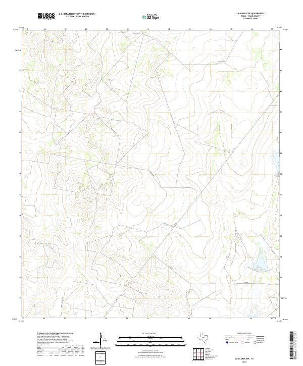 2022 La Gloria SW2022 Print · USGSStarr County ranching country is captured in this recent survey of the South Texas landscape. Researchers and land historians can trace rural routes and property access points like El Rucio Ranch Rd, La Morita Rd, and FM 755.
 - 2022 Map of Viboras, 2022 Print
 2022 Viboras2022 Print · USGSDeep in the Starr County brush country, this modern survey captures the ranching community of Viboras and its surrounding family lands. Trace local genealogy and heritage at Huisache Cem, San Carlos Cem, and along Alejandro Guerra Rch Rd.
 - 2022 Map of Cuevitas, 2022 Print
 2022 Cuevitas2022 Print · USGSThe South Texas brush country at the border of Jim Hogg and Starr Counties is documented here in the early twenty-first century. Researchers can trace land tracts such as San Roman Rch and follow the paths of Los Olmos Cr and Villarreal Rd.
 - 2022 Map of La Reforma, 2022 Print
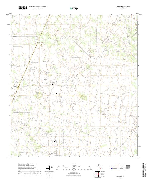 2022 La Reforma2022 Print · USGSThe South Texas brushland comes alive on this recent survey of the borderlands between Hidalgo and Starr counties. Genealogists can trace family heritage through a dense cluster of burial sites including Santa Rita Viejo Cem, Santos Valdez Cem, and Bazan Ranch Cem.
 - 2022 Map of La Gloria, 2022 Print
 2022 La Gloria2022 Print · USGSThe ranching country of Starr County is depicted here in the early twenty-first century, revealing a landscape of remote settlements and family heritage. Researchers can locate numerous historical burial sites like La Gloria Cem and Coyote Cem along routes such as Ranch Rd 2686.
 - 2022 Map of Los Garzas, 2022 Print
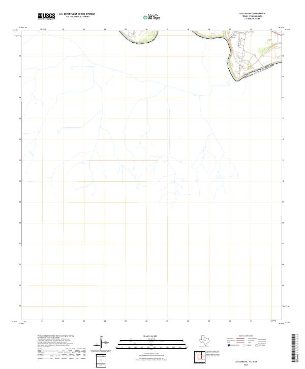 2022 Los Garzas2022 Print · USGSThe international boundary along the Rio Grande dominates this contemporary survey of Starr County. Genealogists and local historians can locate Los Garzas Cem and trace small-scale developments along S Midway Rd.
 - 2022 Map of Bentsen Ranch, 2022 Print
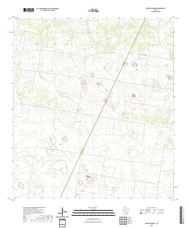 2022 Bentsen Ranch2022 Print · USGSThe South Texas brush country at the border of Starr and Hidalgo counties is captured here in its modern ranching state. Researchers can trace land boundaries and rural routes like La Guajolota Rd, Guasolota Ranch Rd, and FM 681.
 - 2022 Map of Rincon, 2022 Print
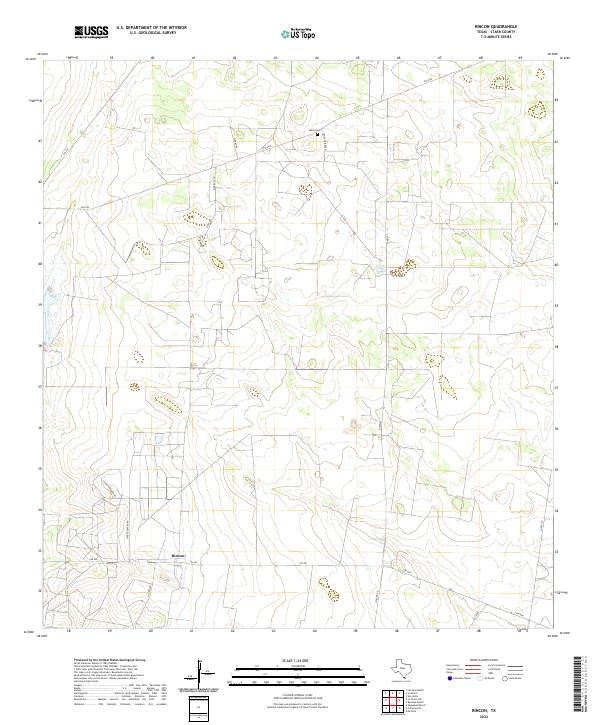 2022 Rincon2022 Print · USGSStarr County ranching country is documented here in the early 2020s, showing a landscape defined by cattle operations and rural road networks. Researchers can locate the Saenz Cem and trace routes like Starr Feedyard Rd near Rincon.
 - 2022 Map of El Chapote Creek, 2022 Print
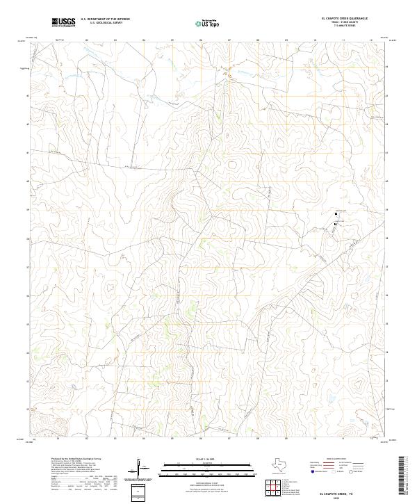 2022 El Chapote Creek2022 Print · USGSIn the arid ranchlands of southern Texas during the early 2020s, this area reveals the enduring presence of family-owned land and remote infrastructure. Genealogists and local historians can locate legacy burial sites like Elizondo Cem and Garcia Cem among the dry reaches of El Chapote Creek.
 - 2022 Map of McCook, 2022 Print
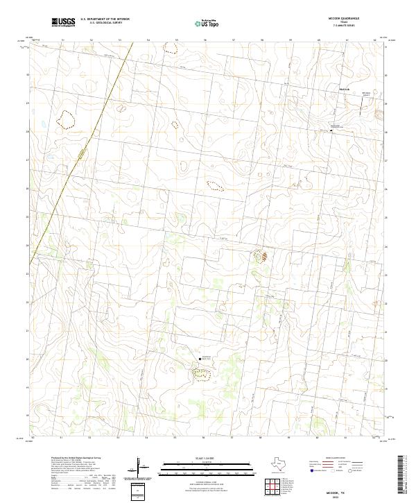 2022 McCook2022 Print · USGSThis South Texas landscape in the early 2020s shows the persistent agricultural and ranching patterns along the Hidalgo and Starr county line. Researchers can trace rural family roots at Jaraschinas Ranch Cem or locate regional landmarks like McCook and BFS West Airport.
 - 2022 Map of Roma-Los Saenz East, 2022 Print
 2022 Roma-Los Saenz East2022 Print · USGSThe Texas-Mexico borderlands along the Rio Grande show a unique pattern of colonial settlements and family-named landmarks in this recent survey. Researchers can locate specific sites like Los Saenz Cem, the Cementerio San Antonio de Escobares, and the community of Garceno.
 - 2022 Map of Lopeno, 2022 Print
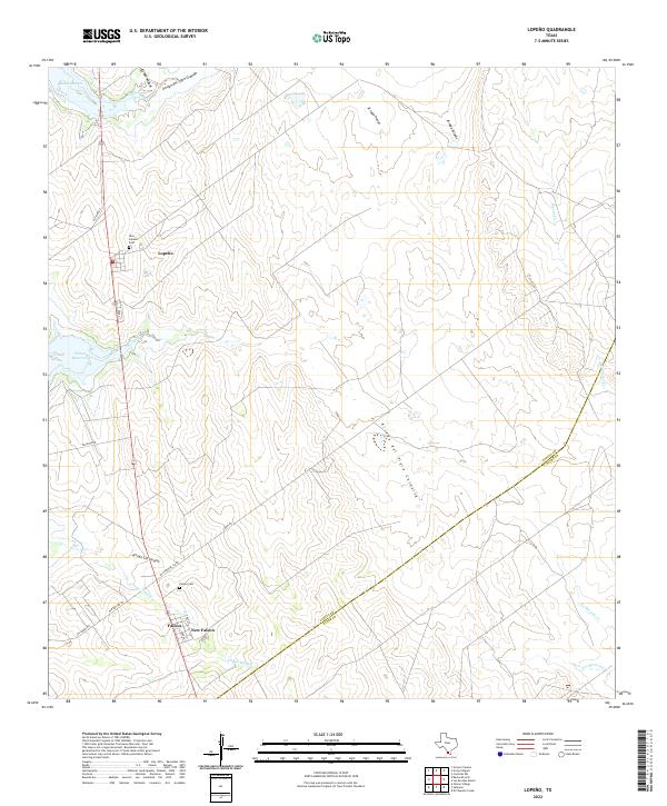 2022 Lopeno2022 Print · USGSZapata County ranching and reservoir life are captured here in the early 2020s, showing the modern layout of borderland settlements. Genealogists can locate New Lopeño Cem and Falcon Cem, while tracking water features like Beckwith Arm and Mexia Cr.
 - 2022 Map of Los Ebanos, 2022 Print
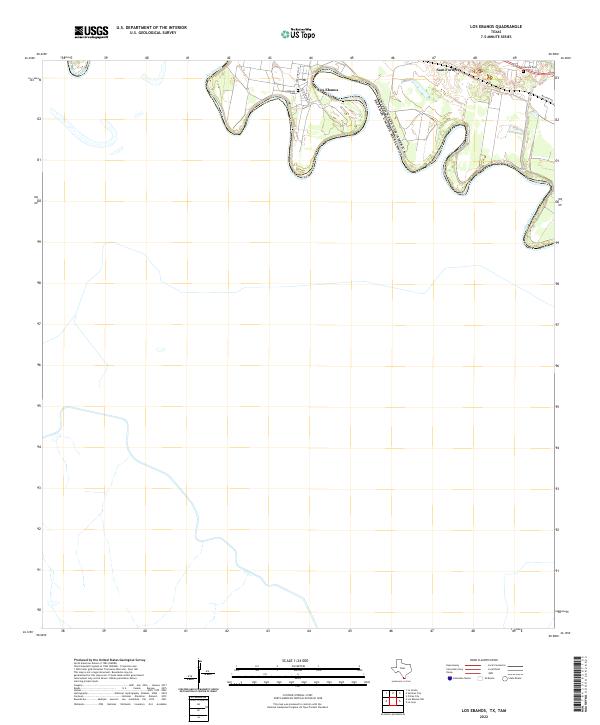 2022 Los Ebanos2022 Print · USGSThe Texas-Mexico border comes into focus along the winding Rio Grande in the early 2020s. Researchers can trace local lineage and land use through the Los Ebanos Cemetery, the settlement of Sam Fordyce, and the historic Military Rd.
Showing maps 1-25 of 32
Top cities of Starr County
- Rio Grande City historical maps
- Roma historical maps
- La Grulla historical maps
- San Isidro historical maps
Frequently asked questions
- What are the different types of historical maps available for Starr County?
- What is the oldest map of Starr County?
- Where can I purchase historical maps of Starr County for my home or office?
- Where can I download high-res historical maps of Starr County?
- Are there historical topographic maps available for Starr County?
- Is there historical aerial imagery available for Starr County?
- Where are historical maps of Starr County sourced from?