2000s (21st Century) Maps of Starr County, Texas
Explore 165 historic maps of Starr County from the 2000s (21st Century). These maps offer a rare glimpse into what life looked like during the 2000s — showing old roads, neighborhoods, homes, and landmarks that have changed or disappeared over time.
Whether you're researching your family's past, planning a metal detecting trip, or studying how Starr County's landscape evolved across the 2000s, these high-resolution maps are a powerful tool for exploring the history of this region.
- Focus on a specific era: All maps on this page are from the 2000s, giving you a focused view of this time period.
- See what’s changed: Compare century-old streets, trails, and buildings to today's modern landscape using overlays and satellite layers.
- Research with precision: Use these maps for genealogy, historical research, land use analysis, or educational projects.
- View, download, or print: Maps are fully viewable online in high resolution, and can be downloaded or printed for your own records.
Start exploring Starr County's history through authentic maps from the 2000s. This is your window into the past.
Starr County, TX maps
(165)- 2002 Map of Los Ebanos NW, 2003 Print
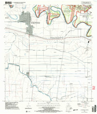
 2002 Los Ebanos NW2003 Print · USGSThe Lower Rio Grande Valley at the dawn of the millennium shows a landscape defined by international borders and vital irrigation. Trace family connections and land use through settlements like Santa Gertrudis and El Granjeno or the winding Canal Principal Guillermo Rode.
 - 2002 Map of Los Ebanos, 2003 Print
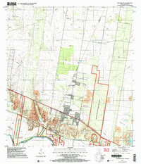
 2002 Los Ebanos2003 Print · USGSAlong the border at the turn of the millennium, this area features the unique International Ferry at Los Ebanos. Genealogists and historians can trace numerous named settlements like Venecia and San Juan del Rio alongside the complex Canal Principal Guillermo Rode.
 - 2002 Map of Sullivan City, 2003 Print
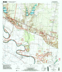
 2002 Sullivan City2003 Print · USGSSullivan City and the Rio Grande riverfront are captured here at the turn of the millennium, documenting the border landscape of Hidalgo County. Researchers can locate San Guillermo Ch, the Cemetery at Cuevitas, and the sprawling Garcia Oil Field.
 - 2002 Map of La Grulla, 2003 Print
 2002 La Grulla2003 Print · USGSThe Rio Grande Valley comes into sharp focus at the turn of the millennium, revealing a landscape defined by river meanders and historic cross-border settlements. Genealogists can trace family footprints through Solizes Cem, Longoria Cem, and the community hub at La Grulla.
 - 2002 Map of Rio Grande City South, 2003 Print
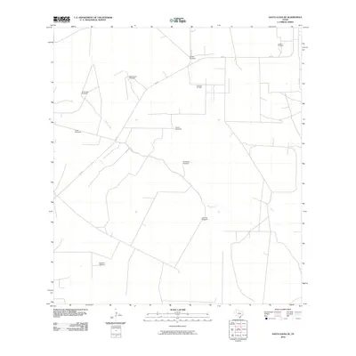
 2002 Rio Grande City South2003 Print · USGSThe Texas-Mexico borderlands come alive in this early 2000s survey of the Starr County riverfront. Researchers can trace the international crossing at Puente de Cuota Aduana or locate historical sites like Olmos Cem and the Monumento Batalla Santa Gertrudis.
 - 2010 Map of Rio Grande City South, 2010 Print
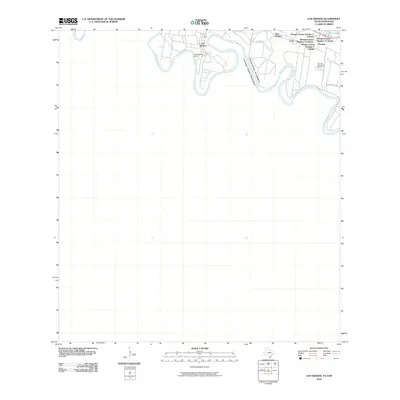
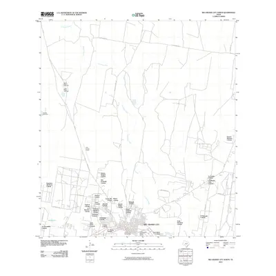
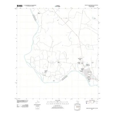
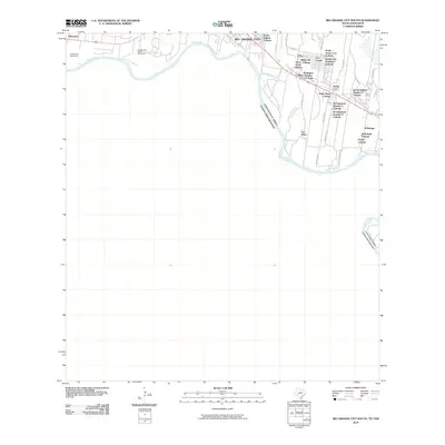 2010 Rio Grande City South2010 Print · USGSCovers Starr County, including Rio Grande City, Ciudad Camargo, and other nearby areas
 - 2010 Map of Falcon Village, 2010 Print
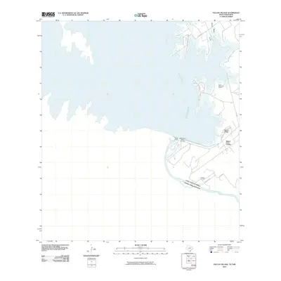 2010 Falcon Village2010 Print · USGSCovers Starr County, including Nueva Ciudad Guerrero, H Cuellar Estates Colonia, and other nearby areas
 - 2010 Map of El Sauz, 2010 Print
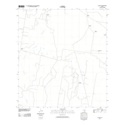 2010 El Sauz2010 Print · USGSCovers Starr County, including El Sauz, United States, and other nearby areas
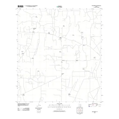
 - 2010 Map of Agua Nueva SE, 2010 Print
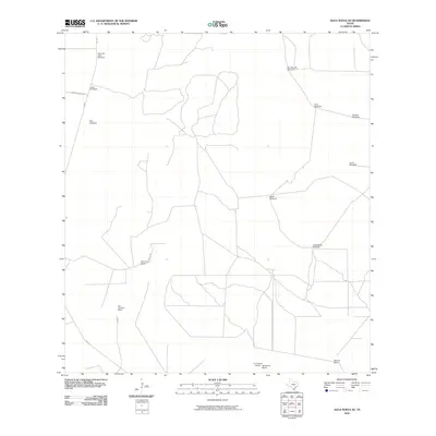 2010 Agua Nueva SE2010 Print · USGSCovers Starr County, including Jim Hogg County, United States, and other nearby areas
 - 2010 Map of Bentsen Ranch, 2010 Print
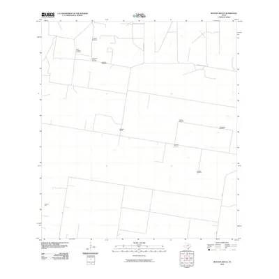 2010 Bentsen Ranch2010 Print · USGSCovers Starr County, including Hidalgo County, United States, and other nearby areas
 - 2010 Map of Santa Elena, 2010 Print
 2010 Santa Elena2010 Print · USGSCovers Starr County, including Santa Elena, Jim Hogg County, and other nearby areas
 - 2010 Map of McCook, 2010 Print
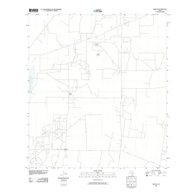
 2010 McCook2010 Print · USGSCovers Starr County, including McCook, Hidalgo County, and other nearby areas
 - 2010 Map of Santa Elena SE, 2010 Print
 2010 Santa Elena SE2010 Print · USGSCovers Starr County, including Hidalgo County, Brooks County, and other nearby areas
 - 2010 Map of Los Ebanos, 2010 Print
 2010 Los Ebanos2010 Print · USGSCovers Starr County, including Gustavo Díaz Ordaz, Venecia, and other nearby areas
 - 2010 Map of La Reforma, 2010 Print
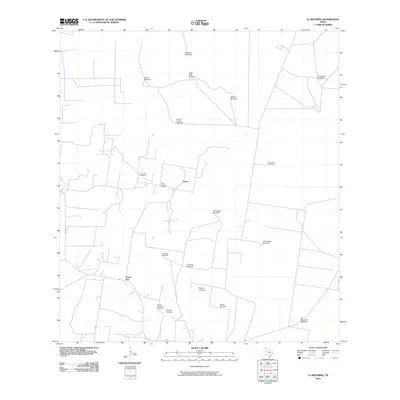 2010 La Reforma2010 Print · USGSCovers Starr County, including Puerto Rico, Cipres, and other nearby areas
 - 2010 Map of Las Islas Ranch, 2010 Print
 2010 Las Islas Ranch2010 Print · USGSCovers Starr County, including United States, Texas, and other nearby areas
 - 2010 Map of San Isidro, 2010 Print
 2010 San Isidro2010 Print · USGSCovers Starr County, including San Isidro, Gloria Colonia, and other nearby areas
 - 2010 Map of Camp Garcia, 2010 Print
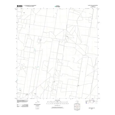 2010 Camp Garcia2010 Print · USGSCovers Starr County, including Hidalgo County, United States, and other nearby areas
 - 2010 Map of La Gloria, 2010 Print
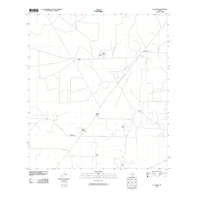 2010 La Gloria2010 Print · USGSCovers Starr County, including Santa Catarina, Robberson, and other nearby areas
 - 2010 Map of La Gloria SW, 2010 Print
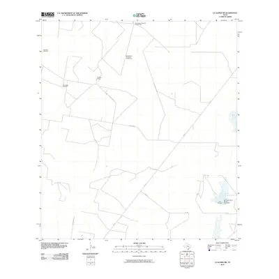 2010 La Gloria SW2010 Print · USGSCovers Starr County, including United States, Texas, and other nearby areas
 - 2010 Map of Rio Grande City North, 2010 Print
 2010 Rio Grande City North2010 Print · USGSCovers Starr County, including Rio Grande City, A T Martinez Colonia, and other nearby areas
 - 2010 Map of Borregos Ranch, 2010 Print
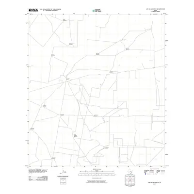
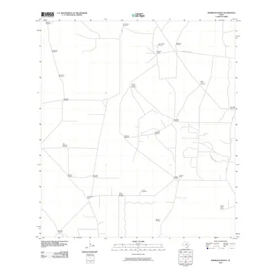 2010 Borregos Ranch2010 Print · USGSCovers Starr County, including Jim Hogg County, United States, and other nearby areas
 - 2010 Map of Rincon, 2010 Print
 2010 Rincon2010 Print · USGSCovers Starr County, including Rincon, United States, and other nearby areas
 - 2010 Map of Sagunada Ranch, 2010 Print
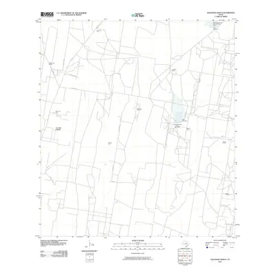 2010 Sagunada Ranch2010 Print · USGSCovers Starr County, including La Carla Colonia, United States, and other nearby areas
 - 2010 Map of Roma-Los Saenz West, 2010 Print
 2010 Roma-Los Saenz West2010 Print · USGSCovers Starr County, including Miguel Alemán, Roma, and other nearby areas
Showing maps 1-25 of 165
Top cities of Starr County
- Rio Grande City historical maps
- Roma historical maps
- La Grulla historical maps
- San Isidro historical maps
Frequently asked questions
- What are the different types of historical maps available for Starr County?
- What is the oldest map of Starr County?
- Where can I purchase historical maps of Starr County for my home or office?
- Where can I download high-res historical maps of Starr County?
- Are there historical topographic maps available for Starr County?
- Is there historical aerial imagery available for Starr County?
- Where are historical maps of Starr County sourced from?