2020s Maps of Travis County, Texas
Explore 30 historic maps of Travis County from the 2020s. These maps offer a rare glimpse into what life looked like during the 2020s — showing old roads, neighborhoods, homes, and landmarks that have changed or disappeared over time.
Whether you're researching your family's past, planning a metal detecting trip, or studying how Travis County's landscape evolved across the 2020s, these high-resolution maps are a powerful tool for exploring the history of this region.
- Focus on a specific era: All maps on this page are from the 2020s, giving you a focused view of this time period.
- See what’s changed: Compare century-old streets, trails, and buildings to today's modern landscape using overlays and satellite layers.
- Research with precision: Use these maps for genealogy, historical research, land use analysis, or educational projects.
- View, download, or print: Maps are fully viewable online in high resolution, and can be downloaded or printed for your own records.
Start exploring Travis County's history through authentic maps from the 2020s. This is your window into the past.
Travis County, TX maps
(30)- 2022 Map of Hammetts Crossing, 2022 Print
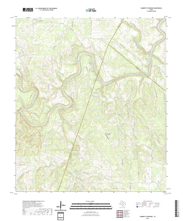 2022 Hammetts Crossing2022 Print · USGSThe Texas Hill Country at the meeting of Blanco, Travis, and Hays counties is defined by the winding Pedernales River. Researchers can trace the geography of unique landmarks like Dead Mans Hole and the historical path of Overland Stage Rd.
 - 2022 Map of Dripping Springs, 2022 Print
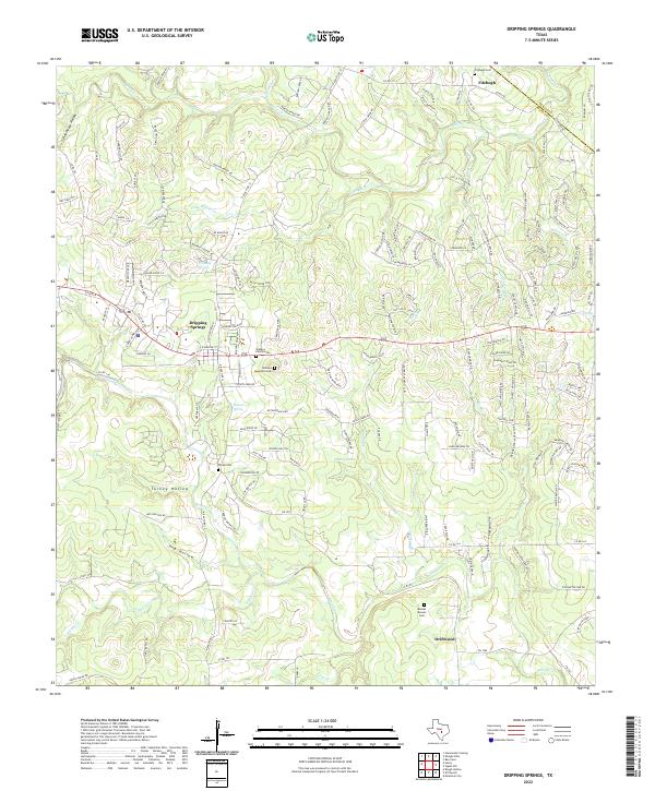 2022 Dripping Springs2022 Print · USGSHays County's eastern Hill Country is captured in this modern survey of Dripping Springs and Driftwood during a period of rapid growth. Family historians can locate specific legacy landmarks such as the Wallace Mountain Cem, Philips Cem, and Kirby Spring.
 - 2022 Map of Shingle Hills, 2022 Print
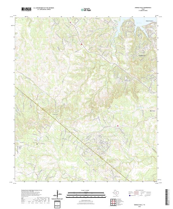 2022 Shingle Hills2022 Print · USGSWestern Travis County and the edges of the Texas Hill Country are captured here during a period of significant suburban growth. Researchers can locate family landmarks like Puryear Cem and Alexander Ranch Airport or trace the winding course of Lake Travis and Bee Cr.
 - 2022 Map of Pace Bend, 2022 Print
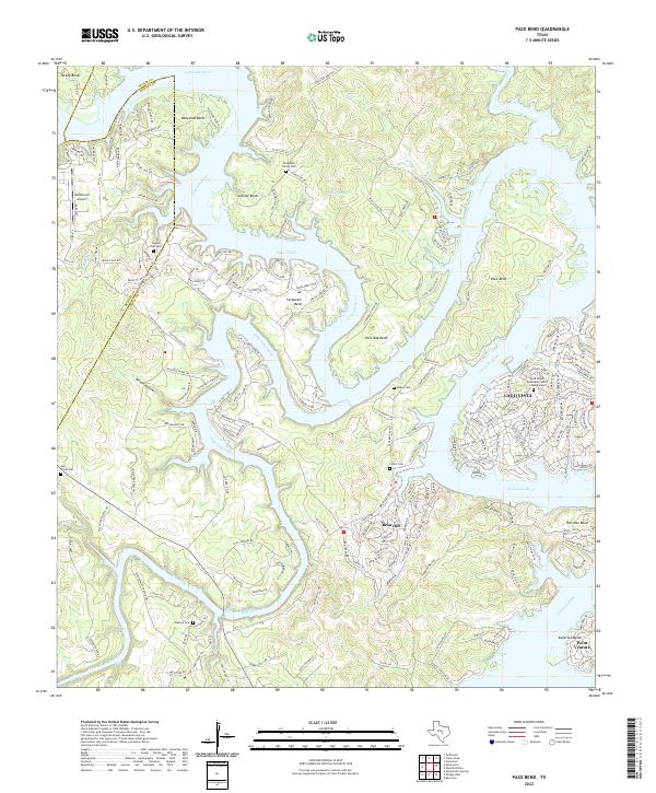 2022 Pace Bend2022 Print · USGSThe winding shores of Lake Travis and the Colorado River take center stage in this 2020s study of Travis and Burnet counties. Genealogists can locate several family burial grounds like Haynie Flat Cem and Singleton Family Cem tucked between the growing lakeside communities of Lago Vista and Briarcliff.
 - 2022 Map of Spicewood, 2022 Print
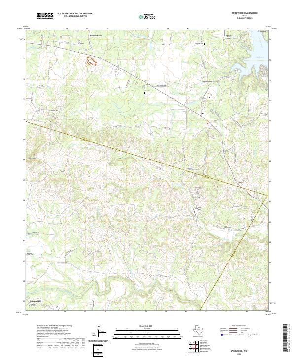 2022 Spicewood2022 Print · USGSThe Texas Hill Country at the borders of Burnet and Blanco counties comes alive on this 2022 survey. Genealogists can locate family landmarks like the Goeth-Wenmohs Family Cem and the Ross Family Cem, or trace the rugged terrain near Shovel Mtn.
 - 2022 Map of Bertram, 2022 Print
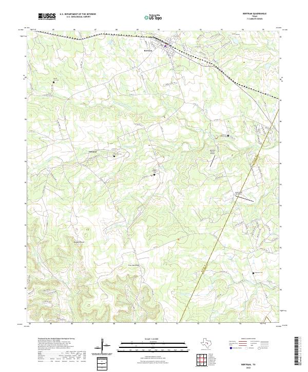 2022 Bertram2022 Print · USGSEastern Burnet County and the Williamson County line are captured here in the early twenty-first century as rural traditions meet modern growth. Genealogists can trace family heritage at Negro Stringtown Cem, the historic settlement of Oatmeal, and the winding S Fork San Gabriel River.
 - 2022 Map of Travis Peak, 2022 Print
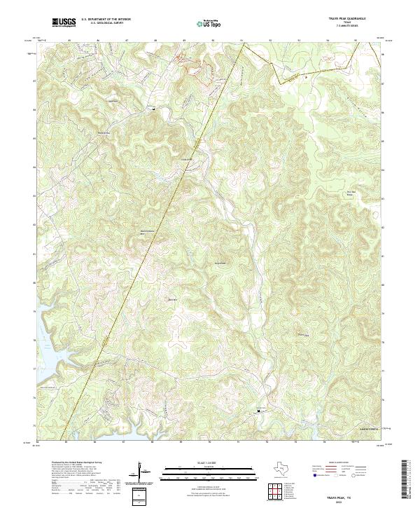 2022 Travis Peak2022 Print · USGSThe Balcones Escarpment of Central Texas is captured here in the early twenty-first century as suburban growth meets rural ranchland. Genealogists and historians can trace family burial sites at Heine Cem or locate old landmarks like Travis Peak and Boultinghouse Mtn.
 - 2022 Map of Lytton Springs, 2022 Print
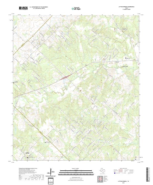 2022 Lytton Springs2022 Print · USGSThe Bastrop and Caldwell county line comes alive in this modern survey of the central Texas plains. Researchers can trace family history through numerous burial sites like Old Lytton Springs Cem and the Saint Marys Colony Baptist Church Cem.
 - 2022 Map of Pflugerville East, 2022 Print
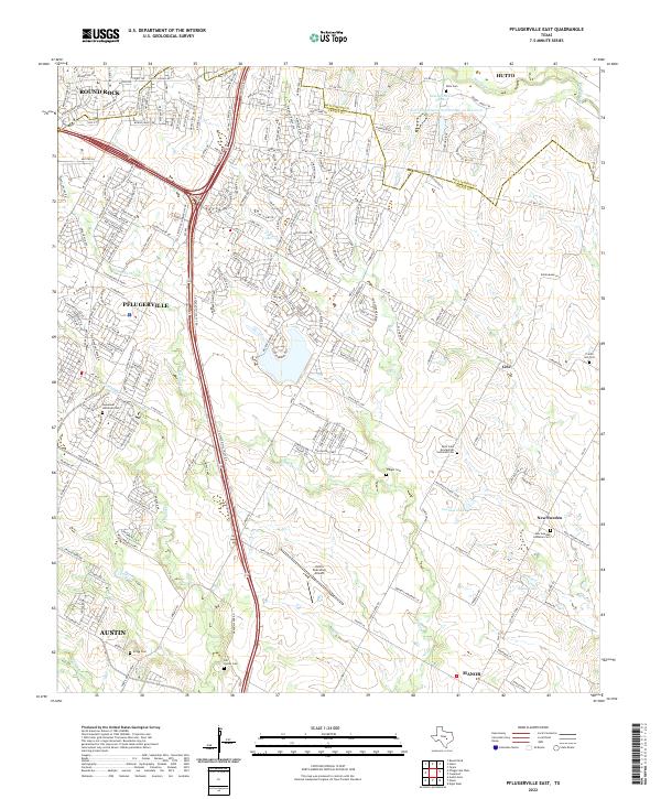 2022 Pflugerville East2022 Print · USGSThe rapid development of the Blackland Prairie east of Austin is documented here in the early 2020s. Researchers can trace family heritage at several historic sites including the New Sweden community, Pfluger Cem, and Prairie Hill Cem.
 - 2022 Map of Utley, 2022 Print
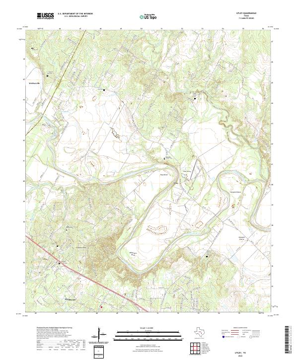 2022 Utley2022 Print · USGSThe Colorado River corridor east of Austin comes to life in this recent study of the river’s bends and prairies. Genealogists can trace family heritage through numerous rural sites like Coates Family Cem, Saint Paul Cem, and Walker Watson Cem.
 - 2022 Map of Elgin West, 2022 Print
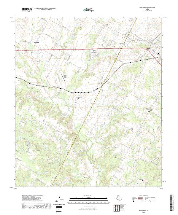 2022 Elgin West2022 Print · USGSCentral Texas settlements and family cemeteries are documented here as the corridor between Travis and Bastrop counties develops. Trace local roots at Littig Cem, Wilson Cem, and the historic community of Littig.
 - 2022 Map of Structure, 2022 Print
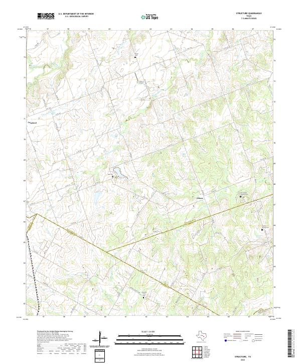 2022 Structure2022 Print · USGSThe rural crossroads of Williamson and Bastrop counties are captured here in the modern era, showing a landscape defined by creeks and family land. Genealogists can locate several historic burial grounds like Mager Cem and the community at Lawhon Springs.
 - 2022 Map of Liberty Hill, 2022 Print
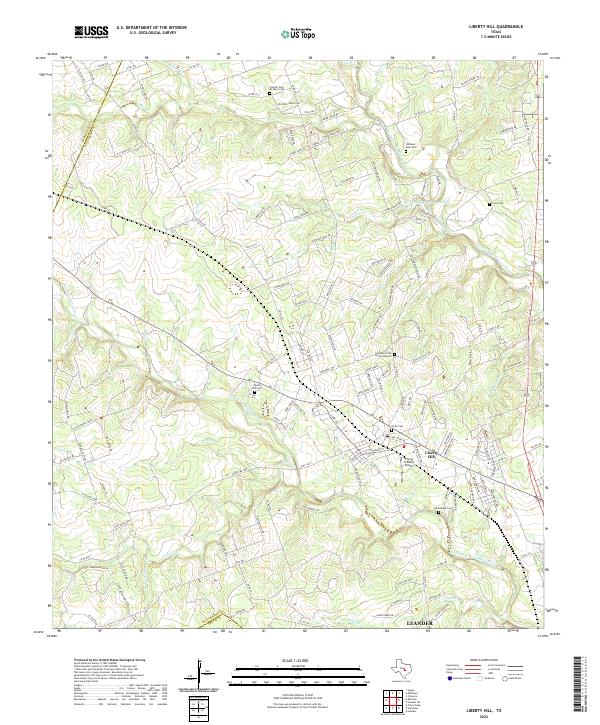 2022 Liberty Hill2022 Print · USGSLiberty Hill and the surrounding Texas Hill Country are captured here in a period of transition between its ranching roots and modern growth. Genealogists can locate several historic burial sites, including Williams-Buck Cem and Smith Cem, while aviators can find the Flying H Ranch Airport.
 - 2022 Map of Signal Hill, 2022 Print
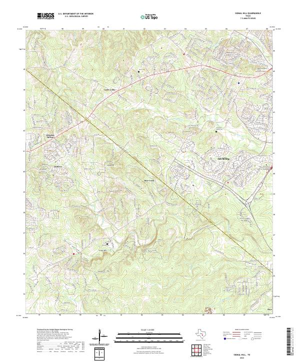 2022 Signal Hill2022 Print · USGSThe Travis and Hays county line near Austin shows a landscape of suburban growth intermingled with historic family roots in the 2020s. Genealogists can trace local legacies at Oliver Cem or Johnson Cem while exploring the hills near Friday Mtn.
 - 2022 Map of Coupland, 2022 Print
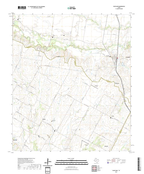 2022 Coupland2022 Print · USGSThis Williamson County prairie landscape preserves a network of rural settlements and family burial grounds in the early twenty-first century. Genealogists and local historians can trace the foundations of Manda, Lund, and Coupland while locating sites like Rices Crossing Cemetery and Wells School Road Cemetery.
 - 2022 Map of Hutto, 2022 Print
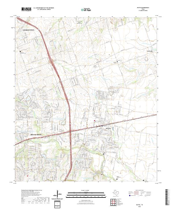 2022 Hutto2022 Print · USGSHutto and the blackland prairies of Williamson County appear in high detail during this recent era of rapid growth. Researchers can locate numerous family and community burial sites like Monadale Cem and Saul Cem along the banks of Boggy Cr.
 - 2022 Map of Pflugerville West, 2022 Print
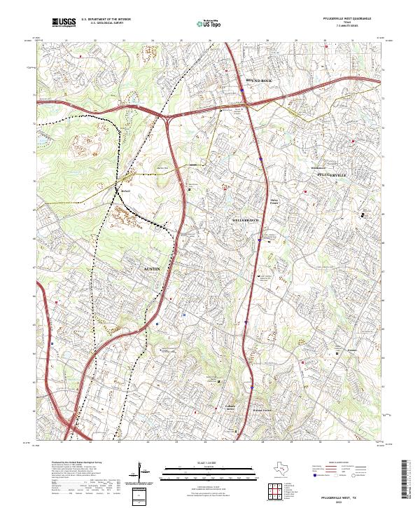 2022 Pflugerville West2022 Print · USGSThe northern edge of Austin meets the growth of Williamson County during a period of rapid suburban development. Genealogists and local historians can trace legacy sites like Merrilltown Cem, Dessau Lutheran Cem, and the settlement of McNeil.
 - 2022 Map of Austin West, 2022 Print
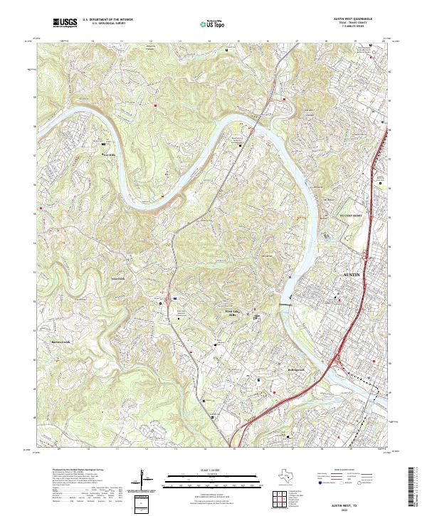 2022 Austin West2022 Print · USGSThe hill country west of Austin comes into focus in this recent survey of the Colorado River corridor. Genealogists can trace family landmarks at Austin Memorial Park Cem and Brown Cem, or locate historic water sources like Deep Eddy Spring and Barton Springs.
 - 2022 Map of Manor, 2022 Print
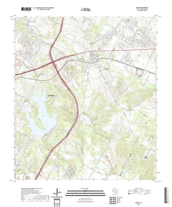 2022 Manor2022 Print · USGSNortheastern Travis County at the edge of the Texas state capital shows a landscape of modern transit corridors intersecting old rural foundations. Trace family history through numerous small burial sites like Hornsby Bend Cemetery and Easley Cemetery near the waters of Walter E. Long Lake.
 - 2022 Map of Mansfield Dam, 2022 Print
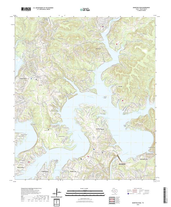 2022 Mansfield Dam2022 Print · USGSThe Texas Hill Country and the winding bends of the Colorado River are captured here in the early twenty-first century. Researchers can trace the development of lakeside communities like Jonestown and Hudson Bend or locate historic sites such as Simpson Cem.
 - 2022 Map of Bee Cave, 2022 Print
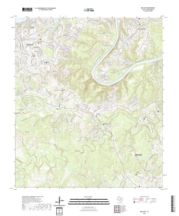 2022 Bee Cave2022 Print · USGSTravis County’s western hills and river bends are captured here during a period of modern growth. Researchers can find deep family roots at White Rock Cem, Patterson Cem, and the historic Bohls Ranch Cemetery North.
 - 2022 Map of Leander, 2022 Print
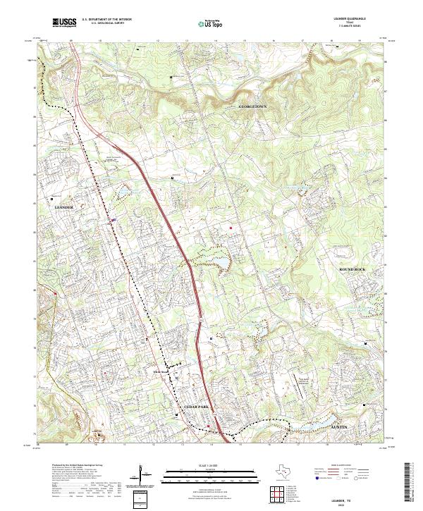 2022 Leander2022 Print · USGSThe rapid growth of the Austin metropolitan corridor in Williamson County is documented here during the early twenty-first century. Genealogists and local historians can locate numerous family burial sites like Wells Cem, Upchurch Cem, and Bagdad Cem.
 - 2022 Map of Creedmoor, 2022 Print
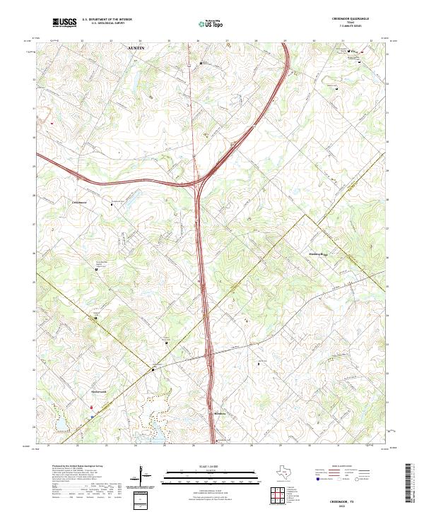 2022 Creedmoor2022 Print · USGSSoutheast of the Austin metropolitan area in the early 2020s, this landscape shows the convergence of four counties and their rural history. Genealogists can trace Swedish and Mexican heritage through sites like Moline Swedish Lutheran Cem and Elroy Mexican Baptist Church Cem.
 - 2022 Map of Jollyville, 2022 Print
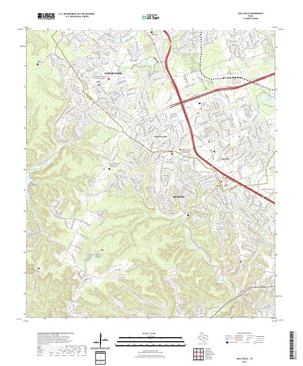 2022 Jollyville2022 Print · USGSGreater Austin and Cedar Park appear in detail as they cross the county line during a period of rapid suburban growth. Researchers can locate several historic burial sites like Hill Top Baptist Cem and Rhodes Cem alongside the natural landmarks of the Jollyville Plateau.
 - 2022 Map of Buda, 2022 Print
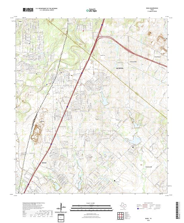 2022 Buda2022 Print · USGSThe corridor between Buda and Kyle comes into sharp focus during this era of Central Texas growth. Genealogists can trace early settler history at Winters Cem and Antioch Cem or follow the historic route of the Old San Antonio Rd.
Showing maps 1-25 of 30
Top cities of Travis County
- Austin historical maps
- Pflugerville historical maps
- Lakeway historical maps
- Manor historical maps
- Lago Vista historical maps
- Bee Cave historical maps
See more
Frequently asked questions
- What are the different types of historical maps available for Travis County?
- What is the oldest map of Travis County?
- Where can I purchase historical maps of Travis County for my home or office?
- Where can I download high-res historical maps of Travis County?
- Are there historical topographic maps available for Travis County?
- Is there historical aerial imagery available for Travis County?
- Where are historical maps of Travis County sourced from?