2010s Maps of Travis County, Texas
Explore 120 historic maps of Travis County from the 2010s. These maps offer a rare glimpse into what life looked like during the 2010s — showing old roads, neighborhoods, homes, and landmarks that have changed or disappeared over time.
Whether you're researching your family's past, planning a metal detecting trip, or studying how Travis County's landscape evolved across the 2010s, these high-resolution maps are a powerful tool for exploring the history of this region.
- Focus on a specific era: All maps on this page are from the 2010s, giving you a focused view of this time period.
- See what’s changed: Compare century-old streets, trails, and buildings to today's modern landscape using overlays and satellite layers.
- Research with precision: Use these maps for genealogy, historical research, land use analysis, or educational projects.
- View, download, or print: Maps are fully viewable online in high resolution, and can be downloaded or printed for your own records.
Start exploring Travis County's history through authentic maps from the 2010s. This is your window into the past.
Travis County, TX maps
(120)- 2010 Map of Nameless, 2010 Print
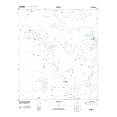 2010 Nameless2010 Print · USGSThe rural Hill Country outside Cedar Park is captured here during a period of modern ranching and residential growth. Genealogists can trace family footprints through Fairview Cemetery and Miller Cemetery or locate the uniquely named settlement of Nameless.
 - 2010 Map of Liberty Hill, 2010 Print
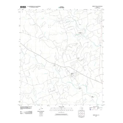 2010 Liberty Hill2010 Print · USGSLiberty Hill and the surrounding Texas Hill Country are shown here during a period of transition between rural ranching and suburban growth. Genealogists and local historians can locate specific sites including Buck Cemetery, Liberty Hill Cemetery, and the Cementerio de las Tres Marias.
 - 2010 Map of Bertram, 2010 Print
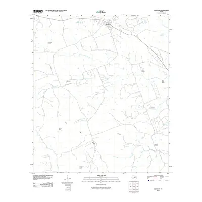 2010 Bertram2010 Print · USGSBertram and the surrounding Burnet County ranch lands are captured here during a period of steady rural character. Genealogists and local historians can locate Oatmeal, trace the South Fork San Gabriel River, and find several sites including Mount Zion Cemetery and Hopewell Cemetery.
 - 2010 Map of Leander, 2010 Print
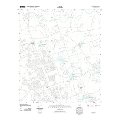 2010 Leander2010 Print · USGSTexas hill country suburbanization is in full swing here at the start of the century. Genealogists and local historians can trace family plots at Bagdad Cemetery or Bonnet Cemetery while exploring the evolving landscapes of Leander and Cedar Park.
 - 2010 Map of Manor, 2010 Print
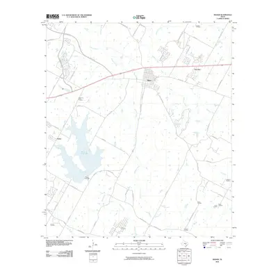 2010 Manor2010 Print · USGSManor and its surrounding Travis County ranch lands are captured here in the early twenty-first century as the area continued its transition from rural to suburban. Genealogists and historians can trace many family legacy sites, from Rosehill Cemetery and Decker Free Church to the small settlement of New Katy.
 - 2010 Map of Montopolis, 2010 Print
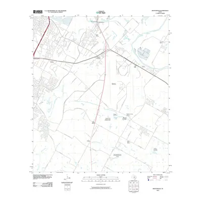 2010 Montopolis2010 Print · USGSSoutheast Austin and the Colorado River bottomlands are captured here in the early 21st century, showing a mix of historic homesteads and major infrastructure. Trace family roots at the Burdett Prairie Cemetery or explore landmarks like Moores Crossing and Pilot Knob.
 - 2010 Map of Jollyville, 2010 Print
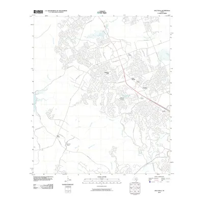 2010 Jollyville2010 Print · USGSThe Northwest Austin suburbs were undergoing rapid growth a decade ago, as modern subdivisions filled the spaces between historic crossroads. Researchers can find long-standing local landmarks like Pond Springs Cemetery, Anderson Mill, and the Jollyville Plateau.
 - 2010 Map of Spicewood, 2010 Print
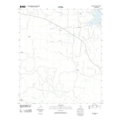 2010 Spicewood2010 Print · USGSSpicewood and the Hill Country of Burnet County are captured here just after the turn of the millennium. Researchers can trace rural lineages through Holloway Cemetery or follow the path of Fall Creek from the hills down to Lake Travis.
 - 2010 Map of Hammetts Crossing, 2010 Print
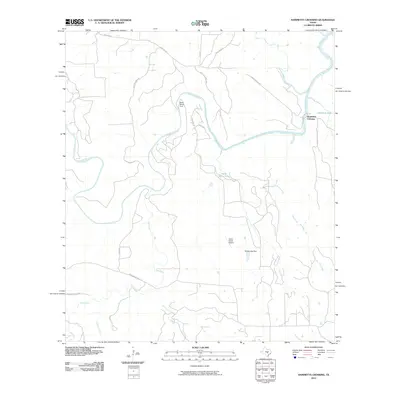 2010 Hammetts Crossing2010 Print · USGSTravis County ranch land and the winding Pedernales River are captured here in the early twenty-first century. Genealogists and local historians can trace family land via Corky Cox Ranch Rd or visit Dead Mans Ford and Hamilton Pool.
 - 2010 Map of Austin East, 2010 Print
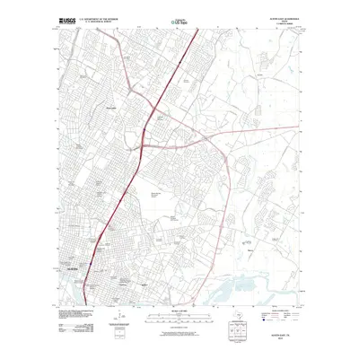 2010 Austin East2010 Print · USGSAustin at the dawn of the 2010s shows a complex urban landscape where historic districts and major university infrastructure meet expanding suburban outskirts. Genealogists and historians can trace significant burial sites like Oakwood Cemetery and Plummers Cemetery or explore the boundaries of the Hyde Park Historic District.
 - 2010 Map of Pace Bend, 2010 Print
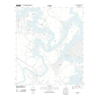 2010 Pace Bend2010 Print · USGSThe Colorado River and Lake Travis define this Central Texas landscape in the early 2000s as it evolved into a recreational hub. Researchers can trace local history through Post Oak Bend Cemetery, Fall Creek Cemetery, and the grounds of Camp Texlake.
 - 2010 Map of Hutto, 2010 Print
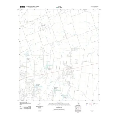 2010 Hutto2010 Print · USGSHutto and the surrounding Williamson County blackland prairie are captured here during a period of modern expansion. Researchers can trace the rural roots of the area through landmarks like Bell Gin and the extensive water management system including Soil Conservation Service Site 18 Reservoir.
 - 2010 Map of Signal Hill, 2010 Print
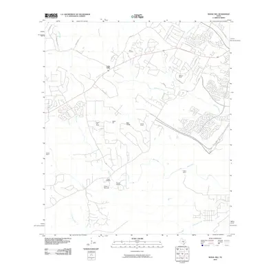 2010 Signal Hill2010 Print · USGSSouthwest Austin was undergoing a steady transition from historic ranchlands to suburban communities at the start of the millennium. Researchers can locate family landmarks like Heissner Ranch and Spillar Ranch, or visit the quiet grounds of Oliver Cemetery.
 - 2010 Map of Travis Peak, 2010 Print
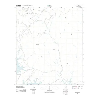 2010 Travis Peak2010 Print · USGSThe northern reaches of the Colorado River and Lake Travis are captured here during a period of transition in the Texas Hill Country. Genealogists and local historians can locate Hensel Cemetery and trace family-named landmarks like Boultinghouse Mountain and Tater Hill.
 - 2010 Map of Coupland, 2010 Print
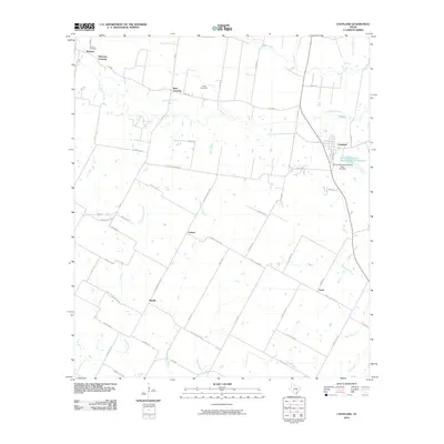 2010 Coupland2010 Print · USGSEastern Travis County and its agricultural heartland are detailed here in the early twenty-first century. Genealogists and local historians can trace the foundations of rural life through historic community centers like Coupland, Normans Crossing, and the Kimbro Cemetery.
 - 2010 Map of Elgin West, 2010 Print
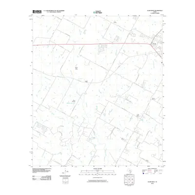 2010 Elgin West2010 Print · USGSWest of Elgin in the early 2000s, this area reflects the transition from established family farms to a growing rural-suburban corridor. Researchers can locate several historic burial sites like Schiller Cemetery and Speir Cemetery, or trace the paths of Wilbarger Creek and Littig Rd.
 - 2010 Map of Structure, 2010 Print
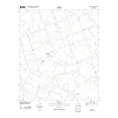 2010 Structure2010 Print · USGSThe rural Williamson County landscape is captured here in the early twenty-first century, showing a network of ranch roads and winding creeks. Researchers can locate family landmarks such as Mager Cemetery and Lawhon Springs Cemetery or the small settlements of Structure and Siloam.
 - 2010 Map of Lytton Springs, 2010 Print
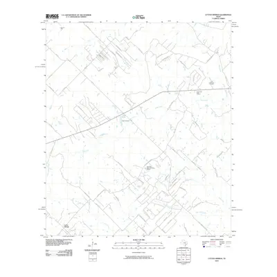 2010 Lytton Springs2010 Print · USGSBastrop County’s rural landscape at the start of the decade shows a unique mix of residential expansion and long-standing industry. You can locate family history at Lower Cedar Creek Cemetery or trace energy development at the Elroy Oil Field.
 - 2010 Map of Oak Hill, 2010 Print
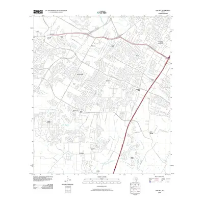 2010 Oak Hill2010 Print · USGSSouthwest Austin and Travis County are captured here during a period of rapid suburban growth. Genealogists and local historians can trace legacy sites like Kincheonville, Oak Hill Cemetery, and the Brown Cemetery.
 - 2010 Map of Shingle Hills, 2010 Print
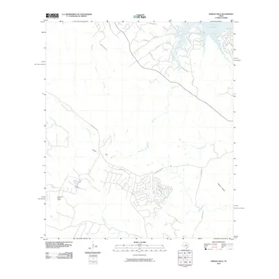 2010 Shingle Hills2010 Print · USGSTravis County ranching heritage meets residential growth near the shores of Lake Travis in the early twenty-first century. Researchers can locate family landmarks like the Peryear Cemetery or trace aviation history at Alexander Ranch Airport.
 - 2010 Map of Pflugerville West, 2010 Print
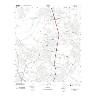 2010 Pflugerville West2010 Print · USGSNorth of Austin during a period of rapid suburban growth, this area shows the shift from family land to established neighborhoods. Genealogists can find the Edward H Rogers Homestead and the McNeil Cemetery near the Austin Executive Airpark.
 - 2010 Map of Creedmoor, 2010 Print
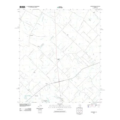 2010 Creedmoor2010 Print · USGSTexas ranching country and growing communities south of Austin are captured here just after the turn of the millennium. Researchers can locate family landmarks like the Vasquez Cemetery and Carl Cemetery or trace the drainage of Maha Creek.
 - 2010 Map of Pflugerville East, 2010 Print
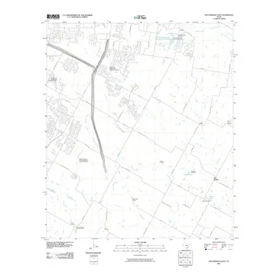 2010 Pflugerville East2010 Print · USGSNortheast Travis County is captured here during a pivotal shift from historic farming communities to suburban expansion. Genealogists can locate several family-named burial sites including Shiloh and Pfluger Cemetery, or trace the heritage of New Sweden and Cele.
 - 2010 Map of Buda, 2010 Print
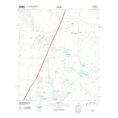 2010 Buda2010 Print · USGSThe Buda area south of Austin shows a landscape of suburban growth and traditional ranchland during the early 2000s. Genealogists and historians can trace local family roots through sites like Antioch Cemetery, the Science Hall school site, and the historic Old San Antonio Rd.
 - 2010 Map of Utley, 2010 Print
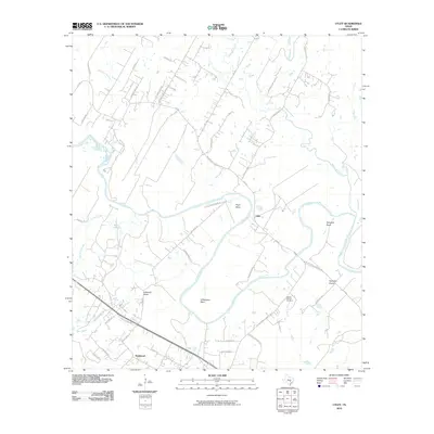 2010 Utley2010 Print · USGSThe Colorado River meanders through central Texas at the start of the 21st century, revealing a landscape defined by its deep bends and river-bottom prairies. Genealogists and local historians can locate the Walker-Watson Cemetery and trace early routes like the Old Bastrop Hwy near Utley.
Showing maps 1-25 of 120
Top cities of Travis County
- Austin historical maps
- Pflugerville historical maps
- Lakeway historical maps
- Manor historical maps
- Lago Vista historical maps
- Bee Cave historical maps
See more
Frequently asked questions
- What are the different types of historical maps available for Travis County?
- What is the oldest map of Travis County?
- Where can I purchase historical maps of Travis County for my home or office?
- Where can I download high-res historical maps of Travis County?
- Are there historical topographic maps available for Travis County?
- Is there historical aerial imagery available for Travis County?
- Where are historical maps of Travis County sourced from?