2010s Maps of Washington County, Texas
Explore 80 historic maps of Washington County from the 2010s. These maps offer a rare glimpse into what life looked like during the 2010s — showing old roads, neighborhoods, homes, and landmarks that have changed or disappeared over time.
Whether you're researching your family's past, planning a metal detecting trip, or studying how Washington County's landscape evolved across the 2010s, these high-resolution maps are a powerful tool for exploring the history of this region.
- Focus on a specific era: All maps on this page are from the 2010s, giving you a focused view of this time period.
- See what’s changed: Compare century-old streets, trails, and buildings to today's modern landscape using overlays and satellite layers.
- Research with precision: Use these maps for genealogy, historical research, land use analysis, or educational projects.
- View, download, or print: Maps are fully viewable online in high resolution, and can be downloaded or printed for your own records.
Start exploring Washington County's history through authentic maps from the 2010s. This is your window into the past.
Washington County, TX maps
(80)- 2010 Map of Burton, 2010 Print
 2010 Burton2010 Print · USGSThe community of Burton and its surrounding farmstead landscape are captured here in the early twenty-first century. Researchers can trace local heritage through numerous burial sites like Oak Hill Cemetery and industry markers such as the Burton Farmers Gin.
 - 2010 Map of Ledbetter, 2010 Print
 2010 Ledbetter2010 Print · USGSLedbetter and the surrounding Fayette County ranch lands are documented here in the early twenty-first century. Researchers can trace family history at the Atkinson Cemetery and Wolf Cemetery or locate landmarks like the Bar S Ranch Airport and Goerlitz Lake.
 - 2010 Map of Chappell Hill, 2010 Print
 2010 Chappell Hill2010 Print · USGSWashington County at the turn of the millennium shows a landscape where historic Texas settlements and early family legacy remain deeply etched into the land. Genealogists can locate numerous burial sites like Saint Stanislaus Cemetery and Cress Cemetery, or trace the historic limits of Chappell Hill.
 - 2010 Map of Flag Pond, 2010 Print
 2010 Flag Pond2010 Print · USGSThe rural expanses near Somerville Lake come into focus during the early 2000s, showing a landscape shaped by water and wood. Researchers can locate family landmarks like Birch Cemetery, Flat Prairie Cemetery, and several private reservoirs including Schindler Lake.
 - 2010 Map of Somerville, 2010 Print
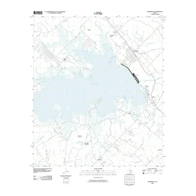 2010 Somerville2010 Print · USGSSomerville and its surrounding lakefront are captured here in the early twenty-first century, showing the intersection of major water management and rural Texas life. Researchers can find numerous family and community burial sites such as Schoppe Cemetery and Oak Lawn Cemetery, or trace the shoreline near Green Mountain.
 - 2010 Map of Independence, 2010 Print
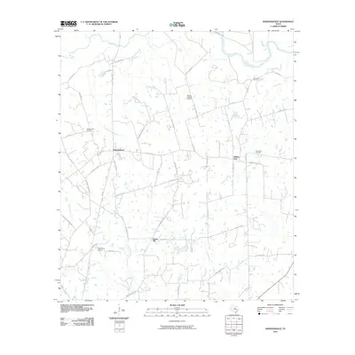 2010 Independence2010 Print · USGSSettled rural Washington County comes into focus in the early twenty-first century, showcasing a landscape of legacy plantations and historic transit corridors. Genealogists and historians can trace family locations near Independence, William Penn, and Good Hope Cemetery.
 - 2010 Map of Clay, 2010 Print
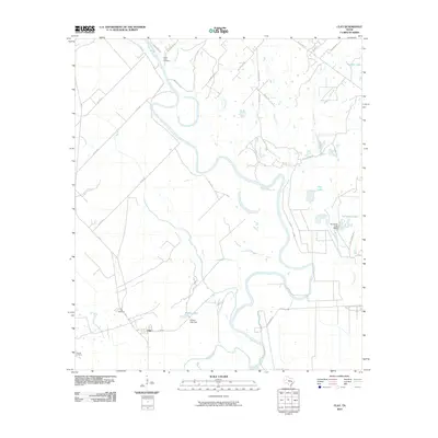 2010 Clay2010 Print · USGSThis rural Burleson County landscape was documented in the early twenty-first century as the Brazos River carved its path through the Texas bottomlands. Genealogists and researchers can locate family sites near Botts Ferry Cemetery, Clay Cemetery, or the banks of Wilkins Lake.
 - 2010 Map of Carmine, 2010 Print
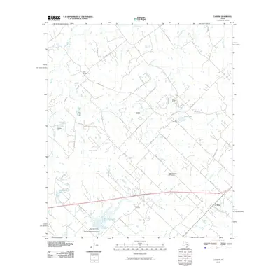 2010 Carmine2010 Print · USGSThe rural landscape of Fayette County is captured in this 2010 survey, centered on the community of Carmine and the historic area of La Bahia. Family historians can trace ancestral lands and local landmarks like Hartstack Cemetery, Homeymeyer Mountain, and Schoenberg Lake.
 - 2010 Map of Gay Hill, 2010 Print
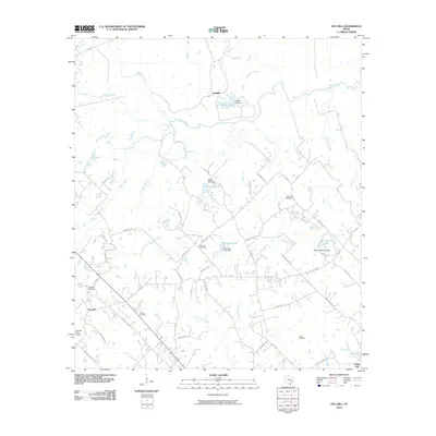 2010 Gay Hill2010 Print · USGSWashington County at the start of the 21st century remains a landscape of sprawling creeks and quiet rural settlements. Genealogists and local historians can trace family roots through Frieden Cemetery and locate early industry at the Clay Creek Oil Field.
 - 2010 Map of Brenham, 2010 Print
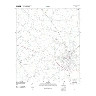 2010 Brenham2010 Print · USGSBrenham and its outlying Washington County settlements appear here in the early twenty-first century as the rail and agricultural heritage of the region persists. Genealogists can trace family burial sites across the landscape, from the Yellow Fever Cemetery to the Camptown Cemetery and the Lehmann Cemetery.
 - 2010 Map of Washington, 2010 Print
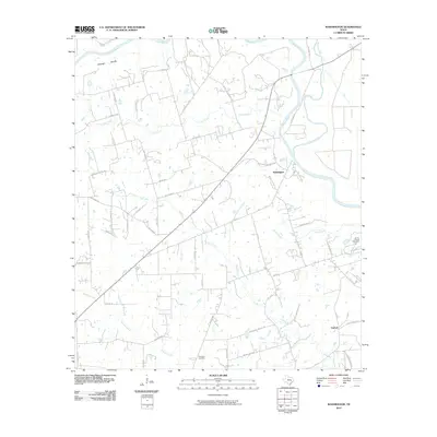 2010 Washington2010 Print · USGSWashington County at the start of the 2010s shows a landscape still deeply tied to the confluence of the Brazos River and Navasota River. Genealogists can trace family footprints across several rural burial sites, including Tennyson Cemetery, Evans Prairie Cemetery, and the historic community of Graball.
 - 2010 Map of Millican, 2010 Print
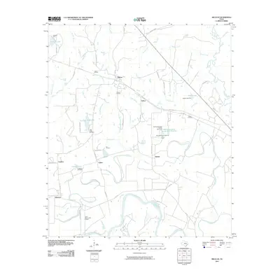 2010 Millican2010 Print · USGSBrazos County in the early twenty-first century remains a landscape of river-bottom farms and small rural settlements near the Navasota and Brazos confluence. Trace family roots at Weaver Cemetery or Millican Cemetery, and locate vanished rail stops like Nelleva and Dinkins.
 - 2010 Map of Buckhorn, 2010 Print
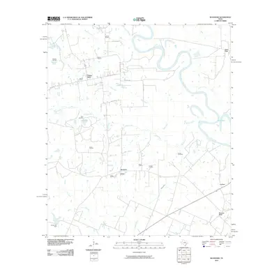 2010 Buckhorn2010 Print · USGSAustin County ranching and river lands are documented here during the first decade of the millennium. Genealogists and local researchers can locate numerous family burial sites like Washam Cemetery and Henson Cemetery or trace the winding course of the Brazos River.
 - 2010 Map of Greenvine, 2010 Print
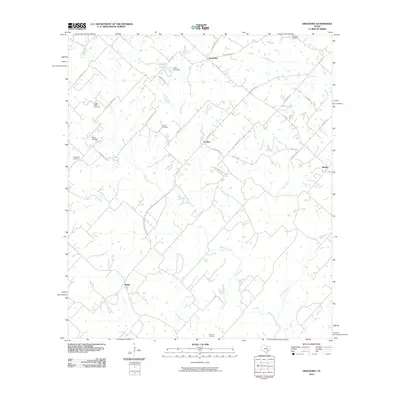 2010 Greenvine2010 Print · USGSThe rural communities of Latium and Greenvine are depicted here during the first decade of the 21st century. Genealogists can trace family heritage through numerous burial grounds including the Jaeger-Witte Cemetery, Burkhardt Cemetery, and Bethlehem Cemetery.
 - 2010 Map of Kenney, 2010 Print
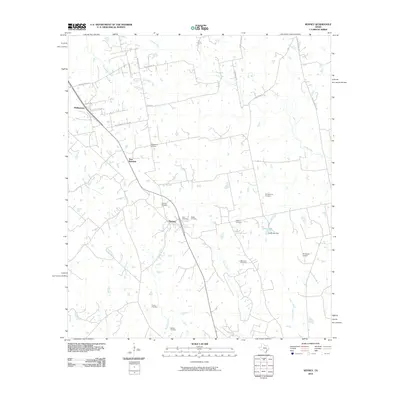 2010 Kenney2010 Print · USGSPhillipsburg and Kenney appear here in the early twenty-first century, preserving a landscape of deep-rooted family history. Researchers can locate numerous local burial sites like Concord Cemetery and Travis Cemetery alongside the waters of Caney Creek.
 - 2010 Map of Welcome, 2010 Print
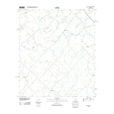 2010 Welcome2010 Print · USGSRural Austin and Washington Counties come into focus during this early twenty-first century survey of the land around Welcome. Genealogists and local historians can trace family ties through Germania Cemetery, Randle Hill Cemetery, and the historic Brenham Oil Field.
 - 2010 Map of Round Top, 2010 Print
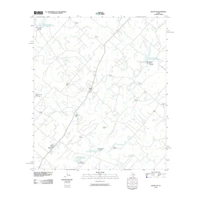 2010 Round Top2010 Print · USGSFayette County at the turn of the 21st century remains a landscape of deep Texas roots and historic homesteads. Genealogists can locate numerous small family burial sites such as Florida Chapel Cemetery and Kraus Cemetery, or trace the William Neese Senior Homestead near Warrenton.
 - 2010 Map of Courtney, 2010 Print
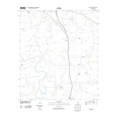 2010 Courtney2010 Print · USGSGrimes County at the start of the 2010s shows a landscape deeply tied to the meandering Brazos River and its many tributaries. Genealogists and local historians can trace family locations near several burial grounds including Evans Prairie Cemetery and the settlement of Courtney.
 - 2010 Map of Daniels, 2010 Print
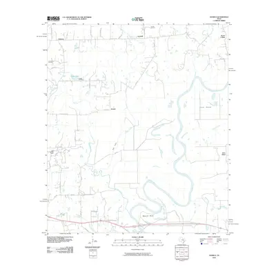 2010 Daniels2010 Print · USGSWashington County at the dawn of the twenty-first century reveals a landscape defined by the winding Brazos River and established rural settlements. Genealogists and local historians can trace family-named roads and landmarks like Brown College, Campground Cemetery, and the community of Goodwill.
 - 2010 Map of Howth, 2010 Print
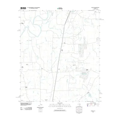 2010 Howth2010 Print · USGSHowth and the Brazos River valley are captured in this Waller County survey from the early twenty-first century. Genealogists and historians can trace the locations of several local burial sites, including Salem and Rock Island Cemetery, alongside landmarks like Brown College and the Hempstead Gliderport.
 - 2013 Map of Somerville, 2013 Print
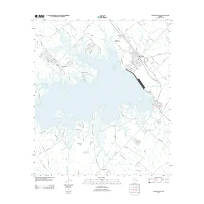 2013 Somerville2013 Print · USGSThe rail-and-water geography of Burleson County is on full display here in the early 2010s. Genealogists and historians can locate family landmarks like Schoppe Cem and Williams Cem, or trace the BNSF Railway through Somerville.
 - 2013 Map of Ledbetter, 2013 Print
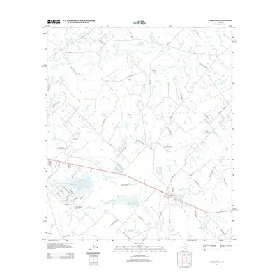 2013 Ledbetter2013 Print · USGSThe community of Ledbetter and its surrounding ranch lands are captured here during the early twenty-first century. Researchers can trace family history at Atkinson Cem and Rost Cem or locate rural landmarks like Goerlitz Lake and the Bar S Ranch Airport.
 - 2013 Map of Howth, 2013 Print
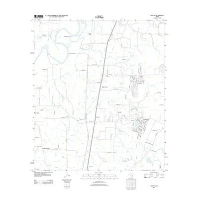 2013 Howth2013 Print · USGSWaller County in the early twenty-first century retains its rural character alongside the Brazos River. Local historians can trace family roots through numerous burial sites like Salem Cem and Lawrence Key Cem, or explore settlements such as Howth and Rock Island.
 - 2013 Map of Gay Hill, 2013 Print
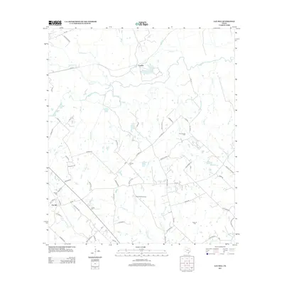 2013 Gay Hill2013 Print · USGSWashington County ranchlands and creek bottoms come into focus in this early twenty-first-century survey of the Gay Hill area. Researchers can trace local lineage through several rural burial sites, including Frieden Cem and Oak Rest Cem, while locating landmarks like the Clay Creek Oil Field.
 - 2013 Map of Carmine, 2013 Print
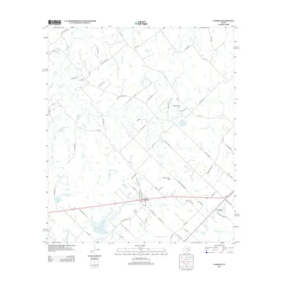 2013 Carmine2013 Print · USGSCarmine and the surrounding Fayette County prairie are captured in detail during the early twenty-first century. Family researchers can locate ancestral markers at White Union Cem and Hartstack Cem or trace the geography of Homeymeyer Mtn.
Showing maps 1-25 of 80
Top cities of Washington County
Frequently asked questions
- What are the different types of historical maps available for Washington County?
- What is the oldest map of Washington County?
- Where can I purchase historical maps of Washington County for my home or office?
- Where can I download high-res historical maps of Washington County?
- Are there historical topographic maps available for Washington County?
- Is there historical aerial imagery available for Washington County?
- Where are historical maps of Washington County sourced from?