Old Maps of Laredo, Texas for Metal Detecting
Plan your next treasure hunt with 71 historic maps of Laredo. Find old homesites, ghost towns, trails, and gathering spots that may be lost to time — perfect for identifying promising metal detecting locations.
- Locate forgotten sites: Uncover places like long-lost settlements, abandoned rail lines, or gathering spots.
- Plan better hunts: Use map overlays combined with LiDAR or satellite views to narrow in on historically rich areas.
- Made for detectorists: Thousands of hobbyists use these maps to discover relics, coins, and hidden history.
Use these historic maps to boost your research and find new opportunities beneath the surface of Laredo.
Laredo, TX maps
(71)- 1933 Map of Becerra Creek, 1956 Print
 1933 Becerra Creek1956 Print · USGSSouth Texas ranching country along the border comes into focus in the early twentieth century. Genealogists and local historians can trace family landholdings like the Dario Sanchez Pasture or search for roots near the Johnson Settlement and Mann Ranch.
 - 1956 Map of Islitas
 1956 Islitas1956 Print · USGSThe riverfront north of Laredo was a hub of early twentieth-century industry and ranching along the Rio Grande. Genealogists and historians can trace family-named holdings like Tordillo Settlement and the industrial infrastructure of the Rio Grande and Eagle Pass Railroad.
 - 1956 Map of Laredo East
 1956 Laredo East1956 Print · USGSEastern Webb County is documented here as a vast network of cattle ranches and rail sidings during the mid-twentieth century. Family researchers can locate legacy holdings like the Pool Ranch and L.R. Ortiz Ranch, or trace the Texas Mexican Railway past Milo Siding.
 - 1956 Map of Laredo, 1960 Print
 1956 Laredo1960 Print · USGSSouth Texas in the mid-fifties reveals a landscape shaped by border commerce, military aviation, and a booming oil industry. Trace the historic Texas and Mexican RR line through Hebbronville or locate the sprawling Mirando City Oil Field and Laredo AFB.3 unique versions available
 - 1965 Map of Laredo West, 1967 Print
 1965 Laredo West1967 Print · USGSLaredo thrived as a vital international gateway in the mid-sixties, centered on the river crossing and the Missouri Pacific rail line. Genealogists and local historians can trace the foundations of the community through Fort Mc Intosh, Santa Maria Ch, and the Holding Institute.3 unique versions available
 - 1965 Map of Orvil, 1967 Print
 1965 Orvil1967 Print · USGSWebb County ranch lands in the mid-sixties are defined here by the intersection of traditional cattle infrastructure and modern industry. Researchers can trace the Missouri Pacific rail line through Orvil or locate the sprawling Tire Proving Ground.3 unique versions available
 - 1965 Map of Cuervo Creek, 1967 Print
 1965 Cuervo Creek1967 Print · USGSMid-century ranching life in Webb County is captured here as cattle operations relied on the brushy drainages north of the border. Researchers can find the Tordillo Cem, the Retama Ranch, and remnants of an Old Railroad Grade tracing through the landscape.
 - 1965 Map of Dolores Ranch, 1967 Print
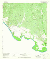 1965 Dolores Ranch1967 Print · USGSThe Texas-Mexico borderlands come into focus in the mid-sixties, capturing the ranching landscape along the Rio Grande. Trace family history at Darwin Cemetery or explore the infrastructure of Dolores Ranch and the Old Railroad Grade.2 unique versions available
 - 1965 Map of Laredo East, 1967 Print
 1965 Laredo East1967 Print · USGSLaredo was a hub of military and civic growth in the mid-1960s, centered around its strategic airfield and expanding urban grid. Genealogists and historians can trace the footprints of Ursuline Academy, the sprawling City Cem, and the operations at Laredo Air Force Base.2 unique versions available
 - 1979 Map of Isla Mesteno
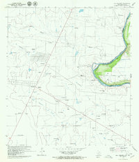 1979 Isla Mesteno1979 Print · USGSThe Texas-Mexico borderlands come into focus in the late 1970s as the Rio Grande winds past remote ranching settlements and gas fields. Researchers can trace family-named sites like Las Josefinas, the abandoned San Pablo, and the Aduana at La Rivereña.
 - 1979 Map of Laredo South, 1980 Print
 1979 Laredo South1980 Print · USGSThe international border at the end of the 1970s shows the twin cities of Laredo and Nuevo Laredo flanking the Rio Bravo Grande. Researchers can trace rural settlements like Santa Maria (Angelica) and community landmarks like Masterson Sch.2 unique versions available
 - 1979 Map of O'Keefe Lake, 1981 Print
 1979 O'Keefe Lake1981 Print · USGSThe Texas-Mexico borderlands along the Webb and Zapata county lines come into focus in this late-seventies survey. Genealogists and historians can trace small ranching outposts such as Las Josefinas and El Porvenir near the banks of the Falcon Reservoir.
 - 1980 Map of Blancas Creek North
 1980 Blancas Creek North1980 Print · USGSWebb County ranch land in the 1970s is documented here as a landscape of brush and resource extraction. Researchers can trace the paths of Dolores Creek and Blancas Creek or locate ranching infrastructure like the isolated well.
 - 1983 Map of Fort McIntosh 3 NE
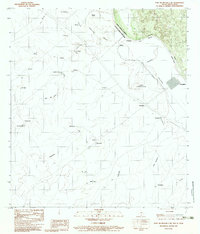 1983 Fort McIntosh 3 NE1983 Print · USGSThe Texas-Mexico borderlands along the Rio Grande are captured here in the early eighties as a network of rural ranchos and river crossings. Researchers can trace the layout of international boundary markers and local sites like Colombia, Rancho Nuevo, and San Vicente.2 unique versions available
 - 1985 Map of Laredo
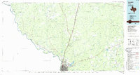 1985 Laredo1985 Print · USGSThe Rio Grande border and the expanding city of Laredo are captured in the mid-eighties as a major international transit hub. Trace the development of Del Mar, the routes of the Texas Mexican railroad, and outlying settlements like Islitas and Las Tiendas.3 unique versions available
 - 1985 Map of San Ygnacio
 1985 San Ygnacio1985 Print · USGSThe Rio Grande borderlands and South Texas ranch country are captured here in the mid-eighties as the energy industry expanded inland. Researchers can trace historic river settlements like San Ygnacio or the industrial footprints of Mirando City and the Jennings West Oil and Gas Field.3 unique versions available
 - 2010 Map of Laredo East, 2010 Print
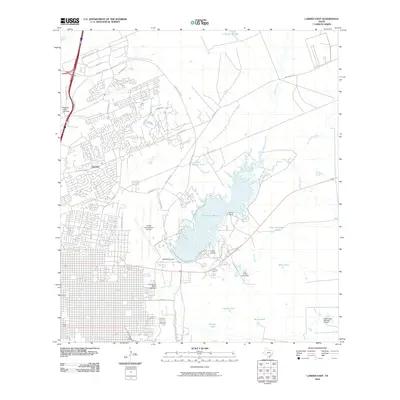 2010 Laredo East2010 Print · USGSLaredo at the start of the decade showcases a blend of rapid urban expansion and deep-rooted ranching heritage. Researchers can trace the development of Del Mar, the footprint of Laredo International Airport, and water features like Lake Casa Blanca and Killam Ranch.
 - 2010 Map of Cuervo Creek, 2010 Print
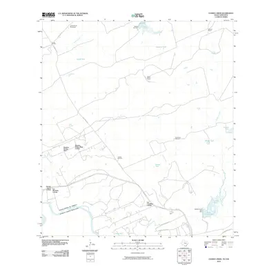 2010 Cuervo Creek2010 Print · USGSThe Webb County ranchlands and the international border along the Rio Grande are shown here during a period of residential growth. Genealogists and local historians can locate early settlements and landmarks like Tordillo Cemetery, Santa Elena Ranch, and Los Corralitos Colonia.
 - 2010 Map of South of San Pedro Hill, 2010 Print
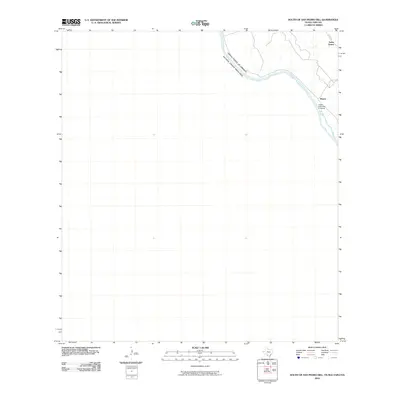 2010 South of San Pedro Hill2010 Print · USGSThe Texas-Mexico borderlands along the Rio Grande appear here in the early twenty-first century, capturing a sparsely settled but strategically vital region. Researchers can trace the path of Mines Rd as it connects Santo Tomas and Minera near the Upper Columbia Crossing.
 - 2010 Map of Dolores Ranch, 2010 Print
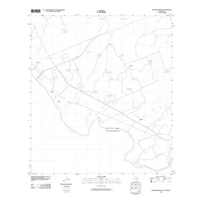 2010 Dolores Ranch2010 Print · USGSThe Texas borderlands north of Laredo come into focus here during the early twenty-first century, centered on the riverfront ranching culture. Researchers can locate family landmarks like Dolores Ranch, the Darwin Cemetery, and the settlement at Islitas.
 - 2010 Map of Orvil, 2010 Print
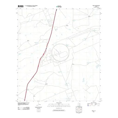 2010 Orvil2010 Print · USGSThe ranchlands of Webb County are documented here in the early twenty-first century, showing a landscape of traditional water engineering. Genealogists and researchers can trace local landmarks like Orvil Windmill, La Coma Windmill, and the settlement of Orvil.
 - 2010 Map of Laredo West, 2010 Print
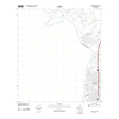 2010 Laredo West2010 Print · USGSLaredo and the Texas borderlands are captured here in the early twenty-first century, showing a city expanding westward along the river. Researchers can trace the grounds of Fort McIntosh, the path of Mines Rd, and the rural character of El Pico and La Bota Ranch.
 - 2010 Map of Laredo West OE S, 2010 Print
 2010 Laredo West OE S2010 Print · USGSThe international border along the Rio Grande is the focus of this study in the early twenty-first century. Researchers can trace the exact path of the boundary between the United States of America and Estados Unidos Mexicanos.
 - 2010 Map of Blancas Creek North, 2010 Print
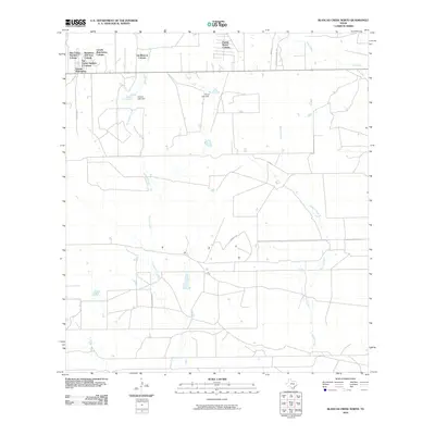 2010 Blancas Creek North2010 Print · USGSWebb County settlement patterns are on full display in this 2010 survey of the ranchlands east of Laredo. Researchers can trace the development of numerous residential clusters like Las Blancas Colonia and find landmarks such as Trevino Lake Dam.
 - 2010 Map of Laredo South, 2010 Print
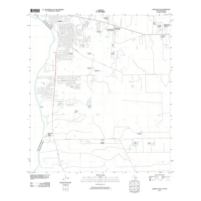 2010 Laredo South2010 Print · USGSLaredo and the surrounding borderlands of Webb County are captured here in the early twenty-first century as the city expanded southward. Researchers can trace the development of numerous settlements like La Presa Colonia and the irrigation network of San Ildefonso Creek.
Showing maps 1-25 of 71
Top cities near Laredo
- Rio Bravo historical maps
- El Cenizo historical maps
- La Presa historical maps
- Los Veteranos II historical maps
Top neighborhoods of Laredo
- Los Altos Colonia historical maps
- One River Place Colonia historical maps
- Orvil historical maps
- Las Blancas Colonia historical maps
- Larga Vista Colonia historical maps
- Larga Vista historical maps
See more
Frequently asked questions
- What are the different types of historical maps available for Laredo?
- What is the oldest map of Laredo?
- Where can I purchase historical maps of Laredo for my home or office?
- Where can I download high-res historical maps of Laredo?
- Are there historical topographic maps available for Laredo?
- Is there historical aerial imagery available for Laredo?
- Where are historical maps of Laredo sourced from?