1940s Maps of Utah
Explore 30 historic maps of Utah from the 1940s. These maps offer a rare glimpse into what life looked like during the 1940s — showing old roads, neighborhoods, homes, and landmarks that have changed or disappeared over time.
Whether you're researching your family's past, planning a metal detecting trip, or studying how Utah's landscape evolved across the 1940s, these high-resolution maps are a powerful tool for exploring the history of this region.
- Focus on a specific era: All maps on this page are from the 1940s, giving you a focused view of this time period.
- See what’s changed: Compare century-old streets, trails, and buildings to today's modern landscape using overlays and satellite layers.
- Research with precision: Use these maps for genealogy, historical research, land use analysis, or educational projects.
- View, download, or print: Maps are fully viewable online in high resolution, and can be downloaded or printed for your own records.
Start exploring Utah's history through authentic maps from the 1940s. This is your window into the past.
Utah maps
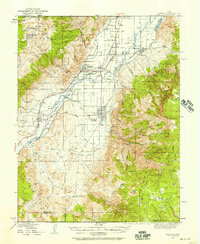
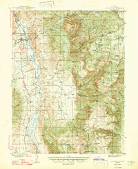
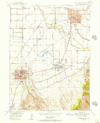
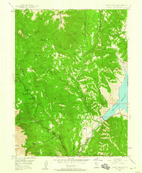
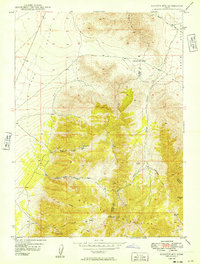
(30)- 1940 Map of Elk Ridge
 1940 Elk Ridge1940 Print · USGSCovers Utah, including Blanding, San Juan County, and other nearby areas2 unique versions available
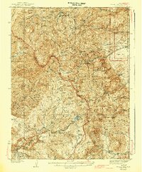
 - 1940 Map of Monroe, 1957 Print
 1940 Monroe1957 Print · USGSCovers Utah, including Richfield, Monroe, and other nearby areas2 unique versions available
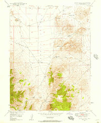
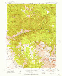
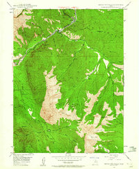
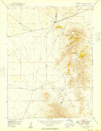
 - 1942 Map of Soldier Summit
 1942 Soldier Summit1942 Print · USGSCovers Utah, including Gilluly, Sky View, and other nearby areas2 unique versions available
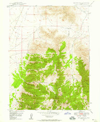
 - 1943 Map of Delano Peak
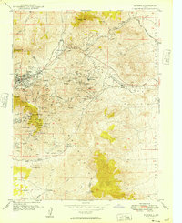
 1943 Delano Peak1943 Print · USGSCovers Utah, including Marysvale, Junction, and other nearby areas2 unique versions available
 - 1944 Map of Monroe
 1944 Monroe1944 Print · USGSCovers Utah, including Richfield, Monroe, and other nearby areas
 - 1945 Map of Marysvale, 1956 Print
 1945 Marysvale1956 Print · USGSCovers Utah, including Marysvale, Junction, and other nearby areas3 unique versions available
 - 1947 Map of Marysvale
 1947 Marysvale1947 Print · USGSCovers Utah, including Marysvale, Junction, and other nearby areas3 unique versions available
 - 1947 Map of Fivemile Pass, 1953 Print
 1947 Fivemile Pass1953 Print · USGSCovers Utah, including Eagle Mountain, Fairfield, and other nearby areas
 - 1947 Map of Allens Ranch, 1958 Print
 1947 Allens Ranch1958 Print · USGSCovers Utah, including Utah County, United States, and other nearby areas3 unique versions available
 - 1947 Map of Boulter Peak, 1958 Print
 1947 Boulter Peak1958 Print · USGSCovers Utah, including Utah County, Tooele County, and other nearby areas2 unique versions available
 - 1947 Map of Goshen Pass, 1970 Print
 1947 Goshen Pass1970 Print · USGSCovers Utah, including Eagle Mountain, Fairfield, and other nearby areas2 unique versions available
 - 1948 Map of Spanish Fork, 1956 Print
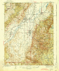
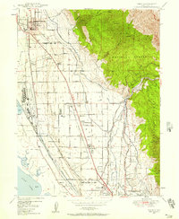
 1948 Spanish Fork1956 Print · USGSCovers Utah, including Spanish Fork, Payson, and other nearby areas3 unique versions available
 - 1948 Map of Timpanogos Cave, 1957 Print
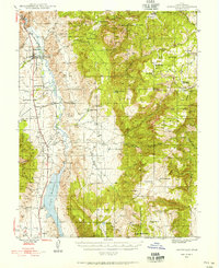
 1948 Timpanogos Cave1957 Print · USGSCovers Utah, including Pleasant Grove, Highland, and other nearby areas4 unique versions available
 - 1948 Map of Orem, 1957 Print
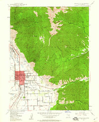
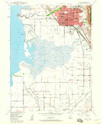
 1948 Orem1957 Print · USGSCovers Utah, including Provo, Orem, and other nearby areas4 unique versions available
 - 1948 Map of Orem, 1959 Print
 1948 Orem1959 Print · USGSCovers Utah, including Provo, Orem, and other nearby areas2 unique versions available
 - 1948 Map of Springville, 1959 Print
 1948 Springville1959 Print · USGSCovers Utah, including Provo, Spanish Fork, and other nearby areas4 unique versions available
 - 1948 Map of Aspen Grove, 1960 Print
 1948 Aspen Grove1960 Print · USGSCovers Utah, including Aspen Grove, Riverbend Trailer Park, and other nearby areas3 unique versions available
 - 1948 Map of Provo, 1960 Print
 1948 Provo1960 Print · USGSCovers Utah, including Provo, Spanish Fork, and other nearby areas3 unique versions available
 - 1948 Map of Bridal Veil Falls, 1960 Print
 1948 Bridal Veil Falls1960 Print · USGSCovers Utah, including Provo, Springdell, and other nearby areas4 unique versions available
 - 1948 Map of Woodside, 1960 Print
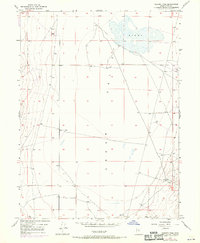
 1948 Woodside1960 Print · USGSCovers Utah, including Horse Canyon, Carbon County, and other nearby areas
 - 1949 Map of Eureka
 1949 Eureka1949 Print · USGSCovers Utah, including Eureka, Diamond, and other nearby areas
 - 1949 Map of Boulter Mts
 1949 Boulter Mts1949 Print · USGSCovers Utah, including Cache County, United States, and other nearby areas
 - 1949 Map of Allens Ranch
 1949 Allens Ranch1949 Print · USGSCovers Utah, including Utah County, United States, and other nearby areas
 - 1949 Map of Fivemile Pass
 1949 Fivemile Pass1949 Print · USGSCovers Utah, including Fairfield, Utah County, and other nearby areas2 unique versions available
 - 1949 Map of Goshen Pass
 1949 Goshen Pass1949 Print · USGSCovers Utah, including Eagle Mountain, Fairfield, and other nearby areas
Showing maps 1-25 of 30
Top cities of Utah
- Salt Lake City historical maps
- West Valley City historical maps
- West Jordan historical maps
- Provo historical maps
- Orem historical maps
- Sandy historical maps
See more
Top counties of Utah
- Salt Lake County historical maps
- Utah County historical maps
- Davis County historical maps
- Weber County historical maps
- Washington County historical maps
- Cache County historical maps
See more
Frequently asked questions
- What are the different types of historical maps available for Utah?
- What is the oldest map of Utah?
- Where can I purchase historical maps of Utah for my home or office?
- Where can I download high-res historical maps of Utah?
- Are there historical topographic maps available for Utah?
- Is there historical aerial imagery available for Utah?
- Where are historical maps of Utah sourced from?