Old Maps of Corinne, Utah for Hiking & Exploration
Hike through history with 19 historic maps of Corinne. Explore old trails, ghost towns, and forgotten backroads — perfect for outdoor adventurers and local explorers.
- Rediscover forgotten places: Map out old mining camps, roads, and footpaths that no longer exist on modern maps.
- Layer with modern tools: Combine with LiDAR or satellite views to plan hikes through historical terrain.
- Made for exploration: Popular among hikers, overlanders, and local history lovers.
Use these maps to find adventure and explore the hidden past of Corinne.
Corinne, UT maps
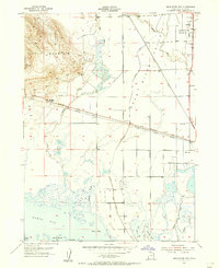
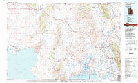
(19)- 1954 Map of Brigham City, 1968 Print
 1954 Brigham City1968 Print · USGSNorthern Utah and the edges of the Great Salt Lake are captured here during the mid-fifties, showing the region's transition from pioneer rail hubs to modern military ranges. Researchers can find old sidings like Lemay Siding, the Golden Spike Monument, and settlements like Washakie.4 unique versions available
 - 1955 Map of Bear River City, 1956 Print
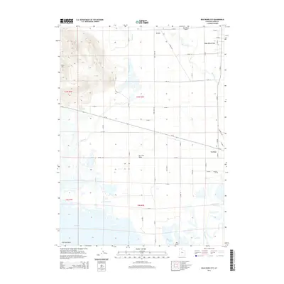
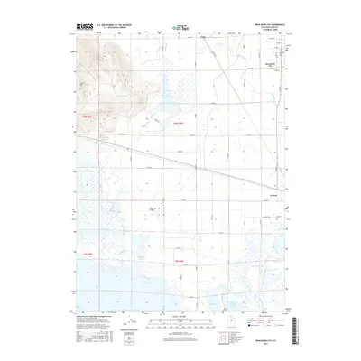
 1955 Bear River City1956 Print · USGSBox Elder County at mid-century reveals a valley shaped by the intersection of the historic railroad and vital irrigation networks. Genealogists and historians can trace the family-named Stanley McGraw Bay, locate local burials at the Cem, and follow the path of the Union Pacific Railroad.
 - 1955 Map of Brigham City, 1957 Print
 1955 Brigham City1957 Print · USGSBrigham City and the surrounding Box Elder valley are captured in the mid-fifties during a period of steady civic growth. Genealogists and historians can trace neighborhood developments around Lincoln School or follow the old Union Pacific lines out to Corinne and the Baker Mine.2 unique versions available
 - 1958 Map of Brigham City
 1958 Brigham City1958 Print · USGSNorthern Utah in the late fifties shows a landscape of extremes, from the salt flats to the bustling Bear River Valley. Trace historical routes like the Old Immigrant Trail and locate local landmarks such as the Brigham Sugar Mill and Booth Valley School.
 - 1962 Map of Brigham City
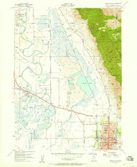
 1962 Brigham City1962 Print · USGSNorthern Utah in the early sixties reveals a landscape of vast salt flats and growing towns along the Wasatch Front. Researchers can trace the Southern Pacific line past the Golden Spike Monument or locate landmarks like Indian Cave and Donner-Reed Pass.
 - 1972 Map of Bear River City, 1973 Print
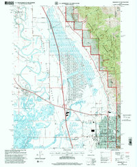
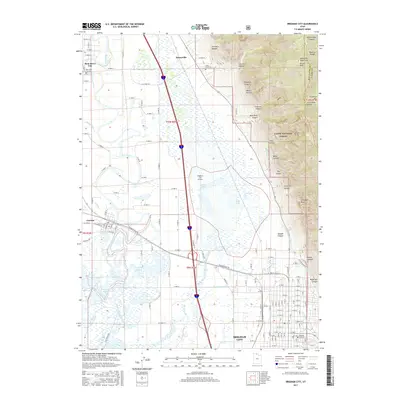
 1972 Bear River City1973 Print · USGSBox Elder County at the edge of the Great Salt Lake is shown in the early seventies, detailing the marshy delta and farm systems. Genealogists and historians can locate the Cemetery near Corinne, trace the Union Pacific line, and find landmarks like Stinking Springs.2 unique versions available
 - 1988 Map of Brigham City
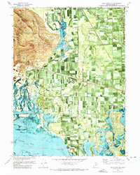
 1988 Brigham City1988 Print · USGSBrigham City and the Bear River Valley are shown during the late 1980s as a bustling hub of civic life and agricultural infrastructure. Genealogists and historians can trace the street grids of Corinne, Bear River City, and Brigham City, or locate the Harper Ward Cem and the Historical Monument at Calls Fort.
 - 1989 Map of Tremonton
 1989 Tremonton1989 Print · USGSNorthern Utah and the Idaho borderlands appear here in the late eighties, centered on the historic rail corridor and the fertile Bear River valley. Genealogists and historians can trace the legacy of settlements from Washakie to Honeyville and the Golden Spike National Historic Site.2 unique versions available
 - 1998 Map of Brigham City, 2001 Print
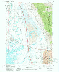
 1998 Brigham City2001 Print · USGSBrigham City and the surrounding Bear River Valley are shown here in the late nineties, balancing a growing urban center with vast wetlands. Researchers can trace family sites at Harper Ward Cemetery or locate historic landmarks like the Calls Fort Monument.
 - 2011 Map of Bear River City, 2011 Print
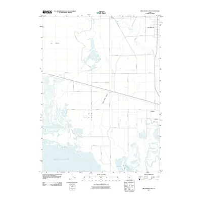 2011 Bear River City2011 Print · USGSCovers Corinne, including Bear River City, Evans, and other nearby areas
 - 2011 Map of Brigham City, 2011 Print
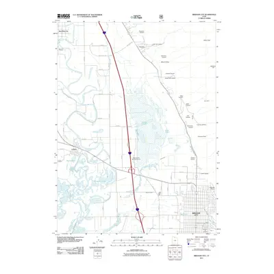 2011 Brigham City2011 Print · USGSCovers Corinne, including Brigham City, Honeyville, and other nearby areas
 - 2014 Map of Bear River City, 2014 Print
 2014 Bear River City2014 Print · USGSCovers Corinne, including Bear River City, Evans, and other nearby areas
 - 2014 Map of Brigham City, 2014 Print
 2014 Brigham City2014 Print · USGSCovers Corinne, including Brigham City, Honeyville, and other nearby areas
 - 2017 Map of Brigham City, 2017 Print
 2017 Brigham City2017 Print · USGSCovers Corinne, including Brigham City, Honeyville, and other nearby areas
 - 2017 Map of Bear River City, 2017 Print
 2017 Bear River City2017 Print · USGSCovers Corinne, including Bear River City, Evans, and other nearby areas
 - 2020 Map of Brigham City, 2020 Print
 2020 Brigham City2020 Print · USGSCovers Corinne, including Brigham City, Honeyville, and other nearby areas
 - 2020 Map of Bear River City, 2020 Print
 2020 Bear River City2020 Print · USGSCovers Corinne, including Bear River City, Evans, and other nearby areas
 - 2023 Map of Bear River City, 2023 Print
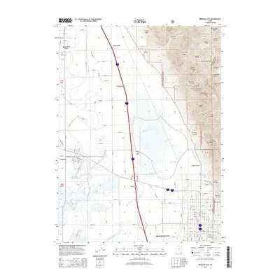
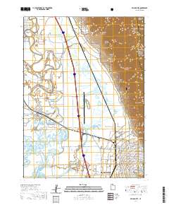
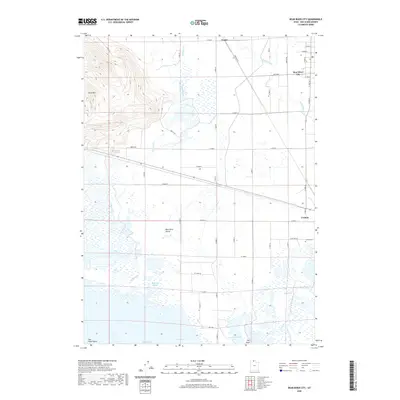
 2023 Bear River City2023 Print · USGSThe Bear River delta and the northern reaches of the Great Salt Lake marshlands are captured in this contemporary survey of Box Elder County. Researchers can trace the water-driven history of the valley through features like the Corinne Canal, Stinking Springs, and Corinne Cem.
 - 2023 Map of Brigham City, 2023 Print
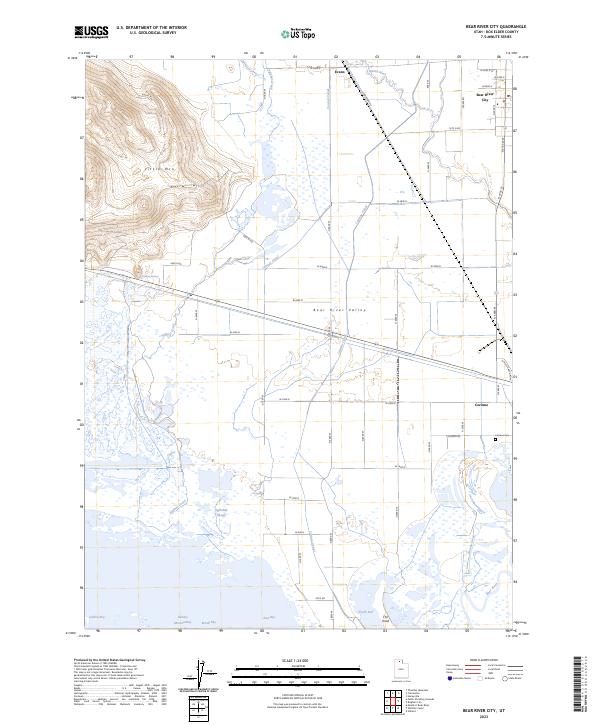
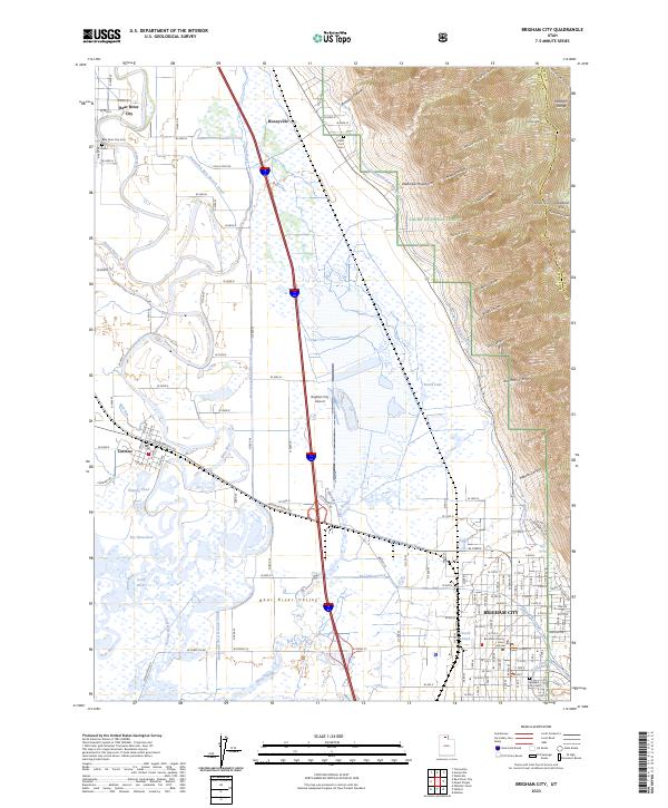 2023 Brigham City2023 Print · USGSBrigham City and the Bear River Valley are shown in the 2020s, capturing the area between the bird refuge and the high Wasatch peaks. Genealogists can trace early landmarks like Call's Fort, the Box Elder County Court House, and several local cemeteries including Bear River City Cem.
End of results
Showing maps 1-19 of 19
Top cities near Corinne
- Logan historical maps
- North Ogden historical maps
- Brigham City historical maps
- Pleasant View historical maps
- Tremonton historical maps
- Farr West historical maps
See more
Frequently asked questions
- What are the different types of historical maps available for Corinne?
- What is the oldest map of Corinne?
- Where can I purchase historical maps of Corinne for my home or office?
- Where can I download high-res historical maps of Corinne?
- Are there historical topographic maps available for Corinne?
- Is there historical aerial imagery available for Corinne?
- Where are historical maps of Corinne sourced from?