1950s Maps of Garfield County, Utah
Explore 70 historic maps of Garfield County from the 1950s. These maps offer a rare glimpse into what life looked like during the 1950s — showing old roads, neighborhoods, homes, and landmarks that have changed or disappeared over time.
Whether you're researching your family's past, planning a metal detecting trip, or studying how Garfield County's landscape evolved across the 1950s, these high-resolution maps are a powerful tool for exploring the history of this region.
- Focus on a specific era: All maps on this page are from the 1950s, giving you a focused view of this time period.
- See what’s changed: Compare century-old streets, trails, and buildings to today's modern landscape using overlays and satellite layers.
- Research with precision: Use these maps for genealogy, historical research, land use analysis, or educational projects.
- View, download, or print: Maps are fully viewable online in high resolution, and can be downloaded or printed for your own records.
Start exploring Garfield County's history through authentic maps from the 1950s. This is your window into the past.
Garfield County, UT maps
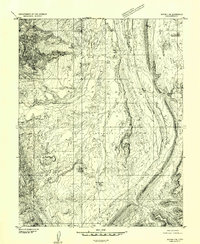
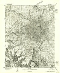
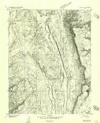
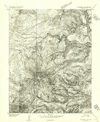
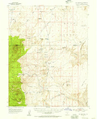
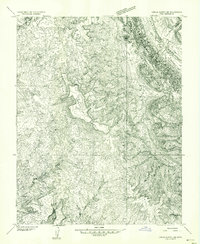
(70)- 1952 Map of Notom 3 SW, 1954 Print
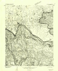 1952 Notom 3 SW1954 Print · USGSBoulder Mountain and the surrounding high plateaus are captured here in the early fifties during a period of active resource management. Researchers can trace historic land use through several named grazing sites like Kings Pasture and locate industrial landmarks such as the local Sawmill near Oak Draw.
 - 1952 Map of Mt Pennell 1 SW, 1954 Print
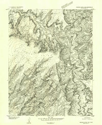
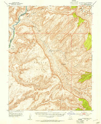
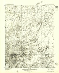
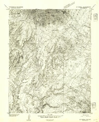 1952 Mt Pennell 1 SW1954 Print · USGSGarfield County's high desert landscape comes into sharp focus during the early 1950s, revealing a terrain shaped by mining and cattle trails. Modern researchers can trace the isolated Del Mont Mine and the historic Hoskininni Road across the Copper Benches.
 - 1952 Map of Mouth of Dark Canyon, 1954 Print
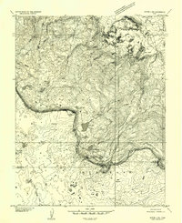
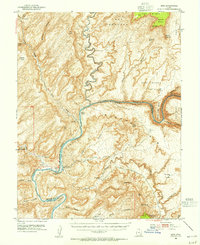
 1952 Mouth of Dark Canyon1954 Print · USGSCataract Canyon and the Colorado River dominate this San Juan County landscape in the early fifties. Researchers can trace remote desert landmarks like Indian Head Pass, find Freddies Cistern, and locate the Dark Canyon Rapids.3 unique versions available
 - 1952 Map of Notom 3 NW, 1954 Print
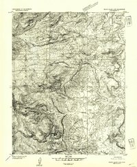
 1952 Notom 3 NW1954 Print · USGSThe high plateau of Wayne County is captured in the early 1950s, documenting a remote landscape of alpine lakes and grazing lands. Researchers can trace historic water sources and stock routes through Donkey Meadows, Blind Lake, and Stink Flats.
 - 1952 Map of Notom 4 SE, 1954 Print
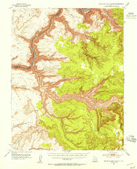
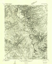
 1952 Notom 4 SE1954 Print · USGSThe high plateaus of Garfield County come alive in the early fifties, showing a remote landscape of canyons and working ranches. Researchers can trace the water systems of Sandy Ranch, the steep walls of Cedar Mesa, and the path of the Bitter Spring Trail.
 - 1952 Map of Orange Cliffs 3 SW, 1954 Print
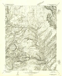
 1952 Orange Cliffs 3 SW1954 Print · USGSGarfield County's canyonlands are captured in detail during the early fifties, showcasing the intricate drainage of the Dirty Devil River. Researchers can trace the elevation changes from the flat top of Bert Mesa to the depths of Poison Spring Canyon.
 - 1952 Map of Mount Ellen 4 SW, 1954 Print
 1952 Mount Ellen 4 SW1954 Print · USGSThe Henry Mountains in Garfield County are captured here in the early 1950s, showing a high-altitude wilderness before extensive modern development. Researchers can trace remote features like Pysents Hole, a lone Prospect, and the spring-fed waters of Crescent Creek.
 - 1952 Map of Notom 4 NW, 1954 Print
 1952 Notom 4 NW1954 Print · USGSThe high desert canyons and cattle ranching territory of south-central Utah are documented here in the early fifties. Local historians can trace the bounds of the Dixie National Forest and identify landmarks like Pleasant Creek Ranch, Hanks Tower, and Ferns Nipple.
 - 1952 Map of Mt Pennell 2 NE, 1954 Print
 1952 Mt Pennell 2 NE1954 Print · USGSGarfield County in the early fifties is captured here as a remote landscape of high peaks and deep incisions. Researchers can trace the rugged drainage of Bullfrog Creek and Scratch Canyon, or locate landmarks like Mt Pennell and the isolated No Man Mesa.
 - 1952 Map of Mancos Mesa, 1954 Print
 1952 Mancos Mesa1954 Print · USGSSan Juan and Garfield counties appear as a wilderness of deep canyons and mesas in the early fifties before major regional developments. Trace the course of the Colorado River past Monte Cristo Island and the remote Landing Strip near Ticaboo No 1 Rapids.3 unique versions available
 - 1952 Map of Mt Pennell 1 NE, 1954 Print
 1952 Mt Pennell 1 NE1954 Print · USGSGarfield County's remote canyon country is captured here in the early fifties, centering on the lonely outpost at Trachyte Ranch. Trace the remnants of an Abandoned Ditch or locate vital water sources like Maidenwater Spring among the formations of Black Table.
 - 1952 Map of Notom 4 SW, 1954 Print
 1952 Notom 4 SW1954 Print · USGSGarfield County’s high desert landscape is captured here in the early fifties during a period of preliminary topographic mapping. Researchers can trace the drainage of Tantalus Creek and find family-named landmarks like Yergy Flat and the Circle Cliffs.
 - 1952 Map of Notom 4 NE, 1954 Print
 1952 Notom 4 NE1954 Print · USGSSoutheast Utah at the start of the fifties reveals a world of desert outposts and livestock routes along the base of the mesas. Trace the seasonal drainages of Burro Wash and the landmarks at Tenison Flats or the remote Bloody Hands Gap.
 - 1952 Map of Notom 3 SE, 1954 Print
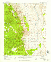
 1952 Notom 3 SE1954 Print · USGSGarfield County high country in the early fifties shows a remote landscape of forest service outposts and high-altitude pastures. Researchers can trace the water and grazing network of the Aquarius Plateau through Wildcat Ranger Sta, Bowns Reservoir, and Wildcat Pasture.
 - 1952 Map of Mt Hillers, 1954 Print
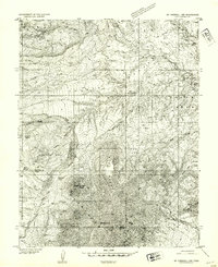
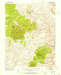 1952 Mt Hillers1954 Print · USGSThe Henry Mountains stand as a formidable landmark in Garfield County during the early 1950s, a time of remote ranching and mining prospects. Researchers can trace isolated outposts like Trachyte Ranch, the Del Monte Mine, and a lonely Landing Strip set among high peaks.4 unique versions available
 - 1952 Map of Mt. Ellen 4 NW, 1954 Print
 1952 Mt. Ellen 4 NW1954 Print · USGSThe high desert of Wayne and Garfield counties comes into focus in the early 1950s before modern development reached these remote canyons. Trace early ranching footprints at Fairview Ranch and follow rugged routes like Sawmill Road past Bull Mountain.
 - 1952 Map of Mt Pennell 1 SE, 1954 Print
 1952 Mt Pennell 1 SE1954 Print · USGSIn the early 1950s, this portion of Garfield County was undergoing systematic topographical study. Researchers can trace the elevation of Mt Holmes and Mt Ellsworth alongside early water improvements like Woodruff Spring and the Reservoir.
 - 1952 Map of Notom 3 NE, 1954 Print
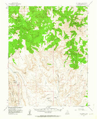
 1952 Notom 3 NE1954 Print · USGSThe southern Utah highlands in the early fifties are shown here at high resolution, detailing the isolated settlements and cattle country of the plateau. Researchers can trace the water sources at Larb Hollow Spring and remote outposts like Grover and Happy Valley.
 - 1952 Map of Mt Pennell 1 NW, 1954 Print
 1952 Mt Pennell 1 NW1954 Print · USGSGarfield County high country in the early fifties reveals a remote landscape of canyons and high ridges. Researchers can trace early tracks and landmarks like Stanton Pass, Bulldog Hole, and the peaks of Mt Millers.
 - 1952 Map of Hite, 1955 Print
 1952 Hite1955 Print · USGSThe river canyon country of southeastern Utah is documented here in the early fifties, before the landscape was altered by massive reservoirs. Researchers can locate the river outpost of Hite, trace the Dandy Crossing (Ferry), and find the isolated Happy Jack Mine near White Canyon.3 unique versions available
 - 1952 Map of Bull Mountain, 1956 Print
 1952 Bull Mountain1956 Print · USGSGarfield County ranching and mining country are documented here in the early fifties, along the rugged border of the Burr Desert. Researchers can trace the layout of the Granite Ranch (Site), locate a high-elevation Mine, and follow the Granite Trail through the Henry Mountains.4 unique versions available
 - 1952 Map of Grover, 1957 Print
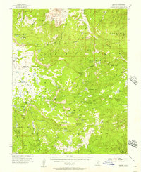 1952 Grover1957 Print · USGSSouthern Utah's high plateau country in the early fifties is captured here during a period of active timbering and grazing. Local history researchers can trace the roads to the Wildcat Ranger Sta, the old Sawmill, and numerous cattle ranges like Haws Pasture.3 unique versions available
 - 1952 Map of Notom, 1958 Print
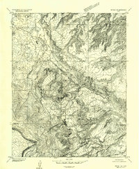
 1952 Notom1958 Print · USGSWayne and Garfield Counties were still a frontier of dirt tracks and remote cattle outposts in the early fifties. You can locate vanished ranching infrastructure and landmarks like Pleasant Creek Ranch, Notom, and the Pioneer Register along the massive Waterpocket Fold.3 unique versions available
 - 1953 Map of Mt Pennell
 1953 Mt Pennell1953 Print · USGSThe Henry Mountains and the Waterpocket Fold dominate this mid-century survey of the Utah desert. Researchers can trace the remote Stanton Mine, find water at Muley Tanks, and locate the oddly-named Eggnog camp.3 unique versions available
 - 1953 Map of Circle Cliffs 1 SE, 1954 Print
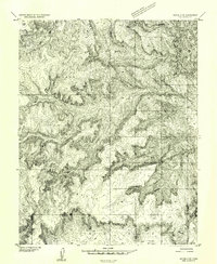
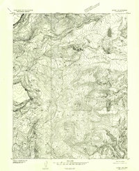
 1953 Circle Cliffs 1 SE1954 Print · USGSGarfield County in the early 1950s is a study in isolation and geologic complexity, where water and stone dictate the geography. Researchers can trace the winding paths of Muley Twist Canyon and Hall Creek, or locate landmarks like The Post and Swap Mesa.
Showing maps 1-25 of 70
Top cities of Garfield County
- Panguitch historical maps
- Escalante historical maps
- Tropic historical maps
- Bryce Canyon City historical maps
- Henrieville historical maps
- Cannonville historical maps
See more
Frequently asked questions
- What are the different types of historical maps available for Garfield County?
- What is the oldest map of Garfield County?
- Where can I purchase historical maps of Garfield County for my home or office?
- Where can I download high-res historical maps of Garfield County?
- Are there historical topographic maps available for Garfield County?
- Is there historical aerial imagery available for Garfield County?
- Where are historical maps of Garfield County sourced from?