2000-2009 Maps of Garfield County, Utah
Explore 52 historic maps of Garfield County from 2000-2009. These maps offer a rare glimpse into what life looked like during the 2000s — showing old roads, neighborhoods, homes, and landmarks that have changed or disappeared over time.
Whether you're researching your family's past, planning a metal detecting trip, or studying how Garfield County's landscape evolved across the 2000s, these high-resolution maps are a powerful tool for exploring the history of this region.
- Focus on a specific era: All maps on this page are from the 2000s, giving you a focused view of this time period.
- See what’s changed: Compare century-old streets, trails, and buildings to today's modern landscape using overlays and satellite layers.
- Research with precision: Use these maps for genealogy, historical research, land use analysis, or educational projects.
- View, download, or print: Maps are fully viewable online in high resolution, and can be downloaded or printed for your own records.
Start exploring Garfield County's history through authentic maps from the 2000s. This is your window into the past.
Garfield County, UT maps
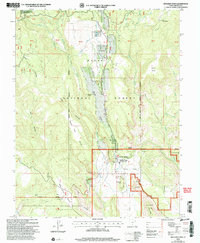
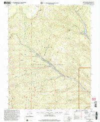
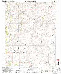
(52)- 2001 Map of Circleville Mountain, 2003 Print
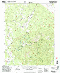
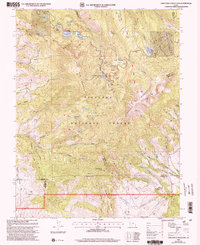 2001 Circleville Mountain2003 Print · USGSHigh in the Fishlake National Forest at the turn of the millennium, this area shows a landscape of mountain reservoirs and summer retreats. Researchers can trace historic grazing lands at Buck Pastures or locate remote camps like Fullmers Cabins and Kents Lake Campground.
 - 2001 Map of Circleville, 2003 Print
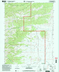
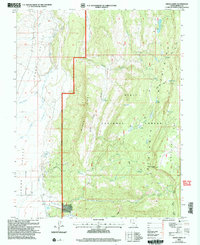
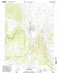
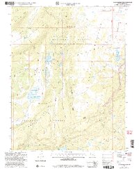
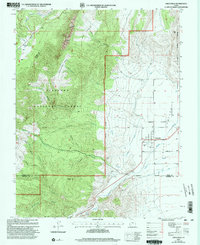 2001 Circleville2003 Print · USGSCircleville and the surrounding valley floor are shown at the start of the twenty-first century, revealing a landscape shaped by the Sevier River. Genealogists and local historians can trace the Cem and irrigation networks like the West Canal and Aqueduct.
 - 2002 Map of Sweetwater Creek, 2005 Print
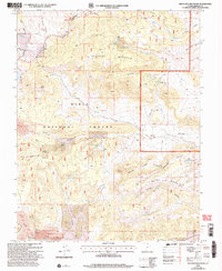
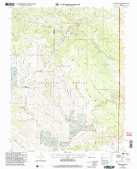
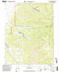 2002 Sweetwater Creek2005 Print · USGSThe high plateau and valley floor of Garfield County appear here at the start of the millennium, showing the remote settlement of Widtsoe. Researchers can trace old 4WD routes through the Dixie National Forest and locate the Cem and Escalante Canyon.
 - 2002 Map of George Mountain, 2005 Print
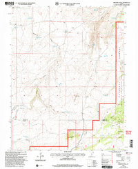
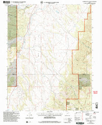 2002 George Mountain2005 Print · USGSGarfield and Kane Counties are captured here at the turn of the millennium within the high plateaus of the Dixie National Forest. Trace the path of the Sevier River and locate remote infrastructure like the Landing Strip and Panguitch Fish Hatchery.
 - 2002 Map of Boulder Town, 2005 Print
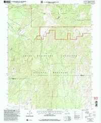
 2002 Boulder Town2005 Print · USGSBoulder Town and its surrounding plateaus appear here at the turn of the millennium, framed by federal forest and monument lands. Researchers can trace local landmarks like Anasazi State Park, Balancing Rock, and the remote route of the Burr Trail.
 - 2002 Map of Cow Creek, 2005 Print
 2002 Cow Creek2005 Print · USGSGarfield County's high forest and valley floor are captured here at the start of the millennium as federal land management shaped the local landscape. Genealogists and historians can trace old water sources and ranching markers like Mountain Spring Reservoir, Beebe Spring, and the isolated Corral in Johns Valley.
 - 2002 Map of Escalante, 2005 Print
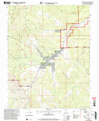
 2002 Escalante2005 Print · USGSEscalante and the surrounding plateaus are captured here at the turn of the century as the town solidified its role as a regional hub. Researchers can trace the town’s development near the Escalante River, find the local High Sch, and locate the Escalante Municipal Airport.
 - 2002 Map of Canaan Peak, 2005 Print
 2002 Canaan Peak2005 Print · USGSGarfield and Kane counties are mapped here at the turn of the millennium, showing the transition from national forest to national monument. Trace backcountry routes through The Cockscomb or follow the Horse Spring Canyon Loop Trail past Canaan Peak.
 - 2002 Map of Griffin Point, 2005 Print
 2002 Griffin Point2005 Print · USGSThe Escalante Mountains high country comes into focus at the start of the twenty-first century, showing the rugged management of the Dixie National Forest. Researchers can trace old resource sites like the Corn Creek Mine and look for historic grazing areas such as Marts Pasture.
 - 2002 Map of Grass Lakes, 2005 Print
 2002 Grass Lakes2005 Print · USGSThe high plateaus and river valleys of Garfield County are captured here at the turn of the millennium. Researchers can trace the drainage of the East Fork Sevier River or locate remote landmarks like Mud Springs Point and Bug Lake.
 - 2002 Map of Haycock Mountain, 2005 Print
 2002 Haycock Mountain2005 Print · USGSHigh-plateau terrain in the Dixie National Forest during the early 2000s reveals a landscape of volcanic fields and vital water sources. Researchers can trace remote forest access routes and name points like Haycock Mountain, White Bridge, and the Lava flows of Black Rock Valley.
 - 2002 Map of Smooth Knoll, 2005 Print
 2002 Smooth Knoll2005 Print · USGSHigh desert plateaus on the Wayne and Garfield County border come to life in this early 2000s survey of the Dixie National Forest. Trace a network of high-country water features from Mutts Reservoir to Blackburn Reservoir and the timbered heights of Smooth Knoll.
 - 2002 Map of Panguitch, 2005 Print
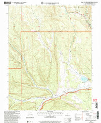
 2002 Panguitch2005 Print · USGSPanguitch and the Sevier River valley are captured here at the turn of the millennium, showing a high-desert community shaped by water and ranching. Trace local history through the High Sch, Cem, and the irrigation network of the Old State Ditch.
 - 2002 Map of Panguitch Lake, 2005 Print
 2002 Panguitch Lake2005 Print · USGSHigh-altitude water management and mountain ranching define this portion of the Dixie National Forest at the turn of the century. Researchers can trace the development of Panguitch Lake and locate family landmarks such as Miller Knoll or Cameron Troughs.
 - 2002 Map of Junction, 2005 Print
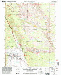
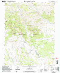
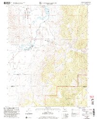 2002 Junction2005 Print · USGSPiute County at the start of the millennium remains a landscape of high-mountain ranching and river-fed agriculture. Genealogists and local historians can trace the foundations of Junction and Kingston, locating landmarks like the Piute High Sch and the Cem near the canyon mouth.
 - 2002 Map of Lower Bowns Reservoir, 2005 Print
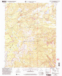 2002 Lower Bowns Reservoir2005 Print · USGSGarfield County's high-plateau wilderness is mapped here just after the millennium, showing a landscape defined by forest management and water storage. Trace old livestock grazing patterns and modern backcountry routes through Sunflower Flat, Lower Bowns Reservoir, and the Great Western Trail.
 - 2002 Map of Roger Peak, 2005 Print
 2002 Roger Peak2005 Print · USGSGarfield County’s high plateaus and ranching outposts are meticulously documented here in the early 2000s. Researchers can trace historic grazing lands around King Ranch or follow the route of the Great Western Trail past Roger Peak.
 - 2002 Map of Barker Reservoir, 2005 Print
 2002 Barker Reservoir2005 Print · USGSThe high plateaus of Garfield County come alive in this early 2000s survey of the Dixie National Forest. Trace the intricate network of upland water storage at Barker Reservoir and Joe Lay Reservoir, or locate the historic Clayton Spring Guard Station (Site).
 - 2002 Map of Jacobs Reservoir, 2005 Print
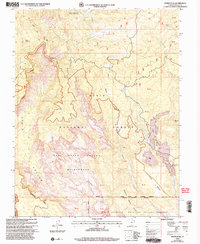
 2002 Jacobs Reservoir2005 Print · USGSGarfield County in the early 2000s reveals a high-altitude backcountry of the Aquarius Plateau before modern landscape shifts. Researchers can trace historic routes like the Great Western Trail and Burr Trail past Jacobs Reservoir and Purple Lake.
 - 2002 Map of Flake Mountain West, 2005 Print
 2002 Flake Mountain West2005 Print · USGSThe Paunsaugunt Plateau of southern Utah is shown here at the turn of the millennium, following decades of forest management. Trace high-country trails and essential water sources like Adams Head Trail, Berry Spring, and Casto Bluff.
 - 2002 Map of Fivemile Ridge, 2005 Print
 2002 Fivemile Ridge2005 Print · USGSThe high backcountry of the Garfield and Iron County line is captured here during the late twentieth century. Researchers can trace the drainage patterns of Panguitch Creek or locate landmarks like Billy Spring and the Gaging Station.
 - 2002 Map of Flossie Knoll, 2005 Print
 2002 Flossie Knoll2005 Print · USGSHigh-altitude Utah backcountry is mapped here during the early 2000s, showing the intersection of Wayne, Piute, and Garfield counties. Researchers can trace historic water sources and landmarks like Death Hollow Reservoir, The Buttes, and Tri Corner Pond.
 - 2002 Map of Upper Valley, 2005 Print
 2002 Upper Valley2005 Print · USGSThe high-desert terrain of Garfield County is shown here just after the turn of the millennium. Researchers can trace the path of All American Road Highway 12 past Liston Flat and the headwaters of Henrieville Creek.
 - 2002 Map of Wide Hollow Reservoir, 2005 Print
 2002 Wide Hollow Reservoir2005 Print · USGSGarfield County ranching and water management come into focus at the dawn of the new millennium. Researchers can trace historic family holdings like Heaps Ranch and Roundy Ranch alongside the Wide Hollow Reservoir.
 - 2002 Map of Bryce Point, 2005 Print
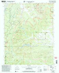 2002 Bryce Point2005 Print · USGSAs the new millennium began, this Garfield and Kane County survey recorded the converging borders of three protected Utah landscapes. Trace ranching history at Johnson Ranch (Site) or locate geological landmarks like the Fairy Castle and Silent City.
Showing maps 1-25 of 52
Top cities of Garfield County
- Panguitch historical maps
- Escalante historical maps
- Tropic historical maps
- Bryce Canyon City historical maps
- Henrieville historical maps
- Cannonville historical maps
See more
Frequently asked questions
- What are the different types of historical maps available for Garfield County?
- What is the oldest map of Garfield County?
- Where can I purchase historical maps of Garfield County for my home or office?
- Where can I download high-res historical maps of Garfield County?
- Are there historical topographic maps available for Garfield County?
- Is there historical aerial imagery available for Garfield County?
- Where are historical maps of Garfield County sourced from?