2020s Maps of Garfield County, Utah
Explore 240 historic maps of Garfield County from the 2020s. These maps offer a rare glimpse into what life looked like during the 2020s — showing old roads, neighborhoods, homes, and landmarks that have changed or disappeared over time.
Whether you're researching your family's past, planning a metal detecting trip, or studying how Garfield County's landscape evolved across the 2020s, these high-resolution maps are a powerful tool for exploring the history of this region.
- Focus on a specific era: All maps on this page are from the 2020s, giving you a focused view of this time period.
- See what’s changed: Compare century-old streets, trails, and buildings to today's modern landscape using overlays and satellite layers.
- Research with precision: Use these maps for genealogy, historical research, land use analysis, or educational projects.
- View, download, or print: Maps are fully viewable online in high resolution, and can be downloaded or printed for your own records.
Start exploring Garfield County's history through authentic maps from the 2020s. This is your window into the past.
Garfield County, UT maps
(240)- 2020 Map of Bowdie Canyon West, 2020 Print
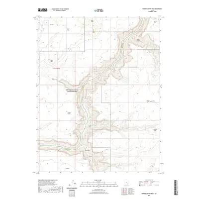 2020 Bowdie Canyon West2020 Print · USGSThe Colorado River corridor near the Garfield and San Juan county line is captured here in the modern era. Trace the intersection of high-desert plateaus and deep water at Lake Powell, Dark Canyon, and the remote Freddies Cistern.
 - 2020 Map of Knowles Canyon, 2020 Print
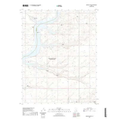 2020 Knowles Canyon2020 Print · USGSSan Juan County’s canyon country is documented here in the early twenty-first century, centered on the Colorado River corridor. Researchers can trace historic river sites like Olympia Bar and significant geological features such as the Tapestry Wall and Moki Stairs.
 - 2020 Map of Cave Flat, 2020 Print
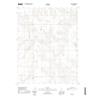 2020 Cave Flat2020 Print · USGSGarfield County in the early twenty-first century remains a wilderness of mesas and deep canyons. Researchers can trace the rugged drainage of Muley Cr and locate high-elevation landmarks like Tarantula Mesa and Cave Flat.
 - 2020 Map of Stevens Canyon North, 2020 Print
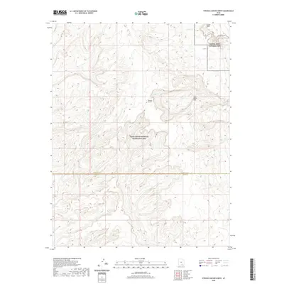 2020 Stevens Canyon North2020 Print · USGSThe high desert of southern Utah comes into focus in this 2020 study of the geological transition between two major federal preserves. Researchers can trace the complex drainage through Stevens Canyon and the notable Halls Creek and Narrows along the Water Pocket Fold.
 - 2020 Map of Mount Pennell, 2020 Print
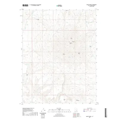 2020 Mount Pennell2020 Print · USGSThe Garfield County high country is documented here in the early twenty-first century. Geographic researchers can trace the intricate drainages of Bullfrog Cr and identify landmarks like Mt Pennell, No Man Mesa, and The Horn.
 - 2020 Map of Bullfrog, 2020 Print
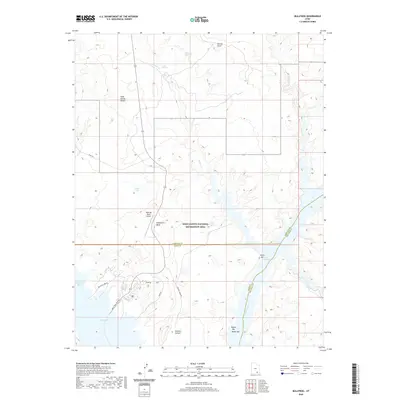 2020 Bullfrog2020 Print · USGSThe recreation and desert landscapes of Kane County are documented in the modern era as the waters of Lake Powell meet the high mesas. Trace the roads and water access at Bullfrog, the Bullfrog Marina, and remote landmarks like Hoskinnini Mesa.
 - 2020 Map of Sewing Machine, 2020 Print
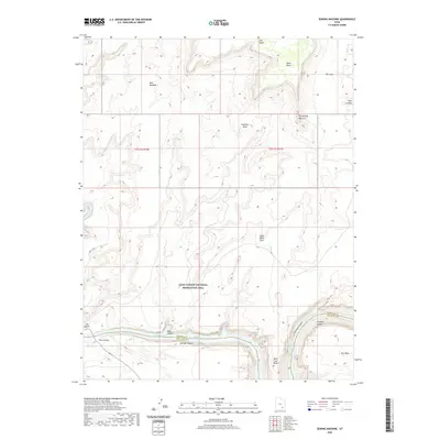 2020 Sewing Machine2020 Print · USGSThe Colorado River canyonlands are captured here in the contemporary era at the intersection of San Juan and Garfield counties. Researchers can trace the water levels of Lake Powell near the Hite Crossing and identify landmarks like The Sewing Machine or Mille Crag Bend.
 - 2020 Map of Lost Spring, 2020 Print
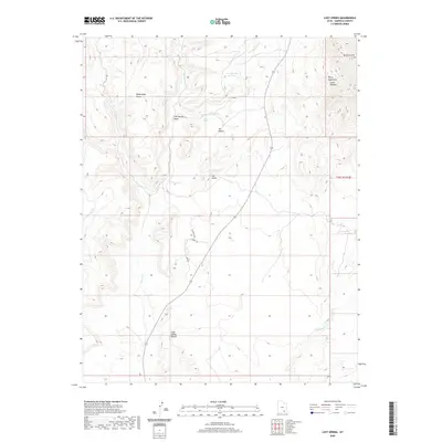 2020 Lost Spring2020 Print · USGSGarfield County's high desert reaches into the southern Henry Mountains during this modern era. Map collectors and geologists can trace water sources across the Cane Spring Desert and locate landmarks like Shootaring Point or Ant Knolls.
 - 2020 Map of Clay Point, 2020 Print
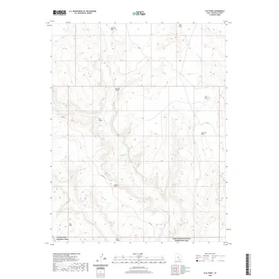 2020 Clay Point2020 Print · USGSGarfield County at the turn of the decade reveals a landscape of high mesas and deep drainages. Researchers can trace the path of the Burr Trl as it winds between Hall Mesa and Saleratus Point through federal parklands.
 - 2020 Map of Mount Holmes, 2020 Print
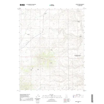 2020 Mount Holmes2020 Print · USGSGarfield County’s high desert peaks and canyon lands are captured in this modern survey of the southern Henry Mountains. Trace the rugged drainages of Ticaboo Cr and Milk Cr between landmarks like Mt Holmes and the Hoskinnini Monument.
 - 2020 Map of Black Table, 2020 Print
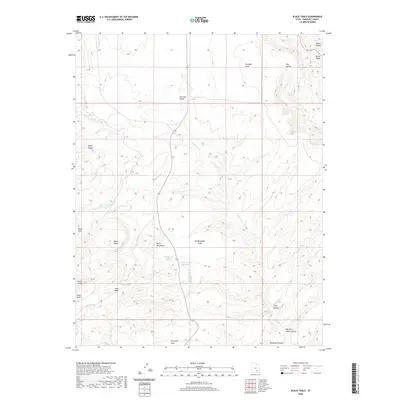 2020 Black Table2020 Print · USGSGarfield County's high desert is captured here in the early twenty-first century, showing the isolated drainages of the Henry Mountains. Researchers and explorers can trace the remote paths of Trachyte Cr, identify landmarks like the Black Table, and find localized water sources including Maidenwater Spring.
 - 2020 Map of Copper Point, 2020 Print
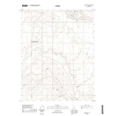 2020 Copper Point2020 Print · USGSThe northern edge of San Juan County is defined here by the confluence of canyons and the reservoir shoreline in the late 2010s. Researchers can trace the winding paths of White Canyon and locate distinctive landmarks such as Copper Point and Wingate Mesa.
 - 2020 Map of Hite South, 2020 Print
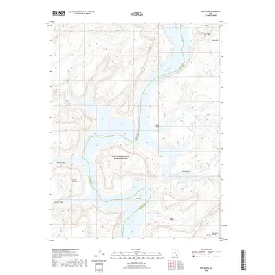 2020 Hite South2020 Print · USGSThe canyons of San Juan County meet the rising waters of the Colorado River system in this modern topographic study. Outdoor enthusiasts and researchers can trace the rugged access roads like Farley Rd and find landmarks such as The Horn and Red Monument.
 - 2020 Map of Ant Knoll, 2020 Print
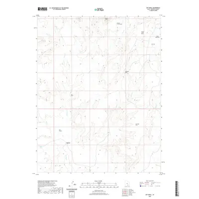 2020 Ant Knoll2020 Print · USGSGarfield County’s high desert comes to life in this recent survey of the area surrounding Eggnog. Researchers can trace the varied terrain of the Henry Mountains and identify local landmarks like Ant Knoll, Jackass Spring, and No Man Mesa.
 - 2020 Map of Bowdie Canyon East, 2020 Print
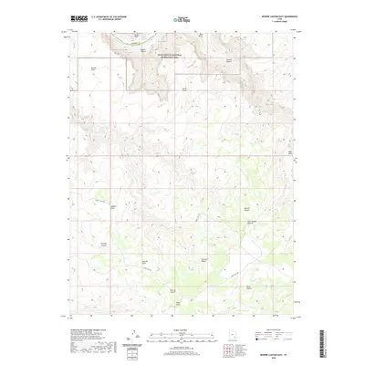 2020 Bowdie Canyon East2020 Print · USGSSan Juan County’s high plateau and canyon country are shown here in the years following the turn of the millennium. Modern researchers can trace the course of Sweet Alice Rd across the Dark Canyon Plateau to landmarks like Lean-To Point and Fable Valley.
 - 2020 Map of Ticaboo Mesa, 2020 Print
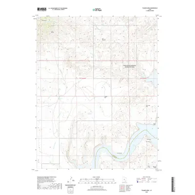 2020 Ticaboo Mesa2020 Print · USGSSan Juan and Garfield counties appear here in the modern era, showing the rugged intersection of the Henry Mountains and the canyons of Lake Powell. Researchers can trace remote water sources like Ticaboo Shelf Spring and landmark features including Ticaboo Mesa and The Rincon.
 - 2020 Map of Cass Creek Peak, 2020 Print
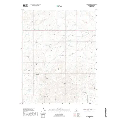 2020 Cass Creek Peak2020 Print · USGSThe southern Henry Mountains appear in fine detail in this modern survey of the high desert of Garfield County. Researchers can trace remote routes like Bull Creek Pass Rd past prominent landmarks such as Mt Hillers and the Cocks Comb.
 - 2020 Map of Hall Mesa, 2020 Print
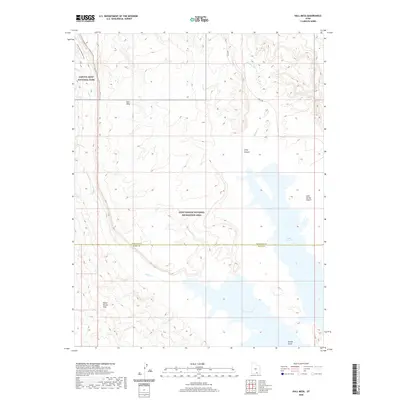 2020 Hall Mesa2020 Print · USGSThe high desert of Kane and Garfield counties meets the rising waters of the Colorado River system in this contemporary survey. Geologists and hikers can trace the Burr Trl as it approaches the Water Pocket Fold and the remote Halls Creek and Narrows.
 - 2020 Map of Deer Point, 2020 Print
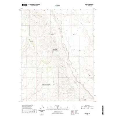 2020 Deer Point2020 Print · USGSGarfield County's high desert reveals its complex topography in this modern survey of the canyonlands. Trace the path of the Burr Trl as it winds near the Water Pocket Fold and the dramatic Halls Creek And Narrows.
 - 2020 Map of Good Hope Bay, 2020 Print
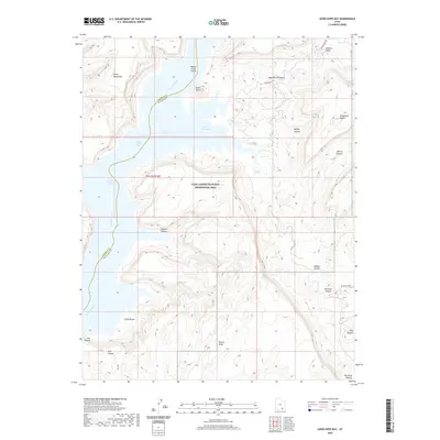 2020 Good Hope Bay2020 Print · USGSSan Juan and Garfield Counties meet at the junction of Lake Powell and the Colorado River in this modern survey. Researchers can trace the dramatic elevation changes from the waters of Good Hope Bay up to the expansive Mancos Mesa and The Rincon.
 - 2020 Map of Hite North, 2020 Print
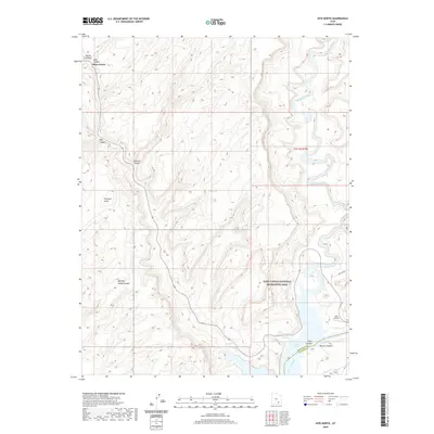 2020 Hite North2020 Print · USGSSan Juan and Garfield Counties come together at the junction of two great rivers in this modern survey. Researchers can trace the desert landscape from the Hite settlement and Hite Airport up to the remote confluence at Three Forks.
 - 2020 Map of The Post, 2020 Print
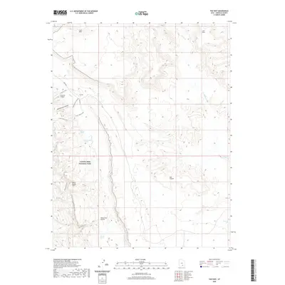 2020 The Post2020 Print · USGSGarfield County's high desert plateaus and deep canyons are documented here in the early twenty-first century. Researchers can trace remote desert routes like the Burr Trail and locate vital water sources such as Cottonwood Tanks and Thompson Seep.
 - 2020 Map of Copper Creek Benches, 2020 Print
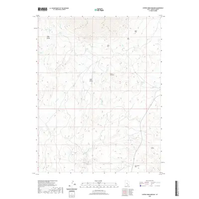 2020 Copper Creek Benches2020 Print · USGSGarfield County’s high-desert terrain is mapped here in the modern era, showing the relationship between the Henry Mountains and the Little Rockies. Researchers can trace vital water sources and landmarks like the Milk Cr Reservoir, Ghost Ridge, and Copper Creek Benches.
 - 2020 Map of Barker Reservoir, 2020 Print
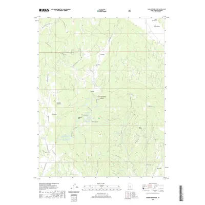 2020 Barker Reservoir2020 Print · USGSGarfield County’s high backcountry in the Dixie National Forest is captured here in the contemporary era, highlighting a complex network of upland water storage and trails. Researchers can trace the routes of the Great Western Trail and locate isolated landmarks like Joe Lay Reservoir and Griffin Spring.
 - 2020 Map of King Bench, 2020 Print
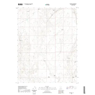 2020 King Bench2020 Print · USGSGarfield County’s high desert plateaus and canyon systems are captured here in the early twenty-first century. Researchers can trace the winding path of the Burr Trl and locate remote landmarks like Durffey Mesa and the Escalante River.
Showing maps 1-25 of 240
Top cities of Garfield County
- Panguitch historical maps
- Escalante historical maps
- Tropic historical maps
- Bryce Canyon City historical maps
- Henrieville historical maps
- Cannonville historical maps
See more
Frequently asked questions
- What are the different types of historical maps available for Garfield County?
- What is the oldest map of Garfield County?
- Where can I purchase historical maps of Garfield County for my home or office?
- Where can I download high-res historical maps of Garfield County?
- Are there historical topographic maps available for Garfield County?
- Is there historical aerial imagery available for Garfield County?
- Where are historical maps of Garfield County sourced from?