2000s (21st Century) Maps of Antimony, Utah
Explore 23 historic maps of Antimony from the 2000s (21st Century). These maps offer a rare glimpse into what life looked like during the 2000s — showing old roads, neighborhoods, homes, and landmarks that have changed or disappeared over time.
Whether you're researching your family's past, planning a metal detecting trip, or studying how Antimony's landscape evolved across the 2000s, these high-resolution maps are a powerful tool for exploring the history of this region.
- Focus on a specific era: All maps on this page are from the 2000s, giving you a focused view of this time period.
- See what’s changed: Compare century-old streets, trails, and buildings to today's modern landscape using overlays and satellite layers.
- Research with precision: Use these maps for genealogy, historical research, land use analysis, or educational projects.
- View, download, or print: Maps are fully viewable online in high resolution, and can be downloaded or printed for your own records.
Start exploring Antimony's history through authentic maps from the 2000s. This is your window into the past.
Antimony, UT maps
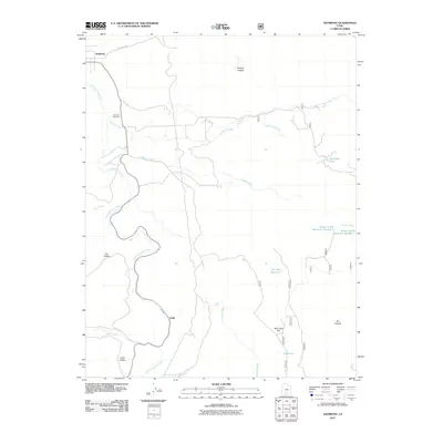
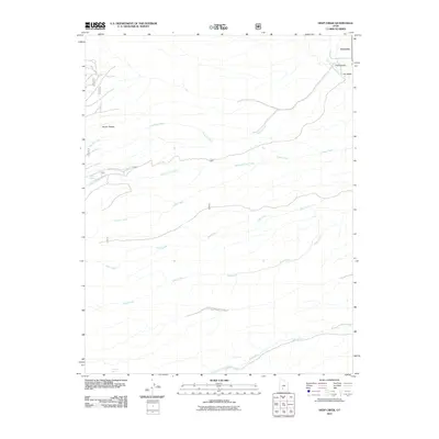
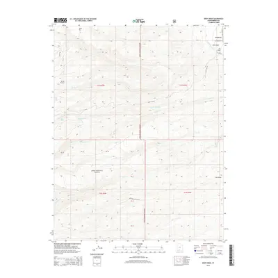
(23)- 2002 Map of Deep Creek, 2005 Print
 2002 Deep Creek2005 Print · USGSGarfield County's high plateau country is documented here at the turn of the millennium, showing a landscape defined by forest management and mountain hydrology. Researchers can trace the path of the Antimony Canal and identify landmarks like Mount Dutton and Table Mountain.
 - 2002 Map of Angle, 2005 Print
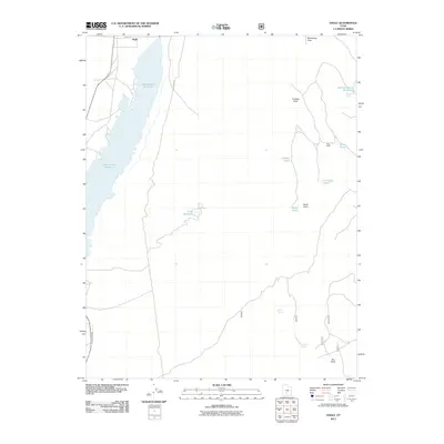
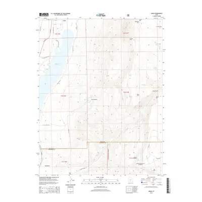
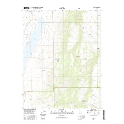
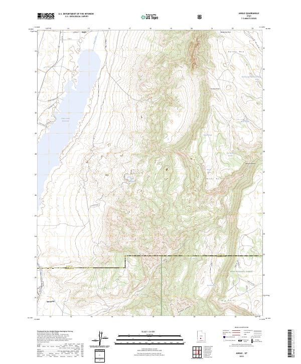
 2002 Angle2005 Print · USGSCentral Utah's high plateau country is captured here during the turn of the millennium. Genealogists and historians can trace family-named sites like Nicks Cabin, find the Antimony Airstrip, and locate the small community of Angle.
 - 2002 Map of Phonolite Hill, 2005 Print
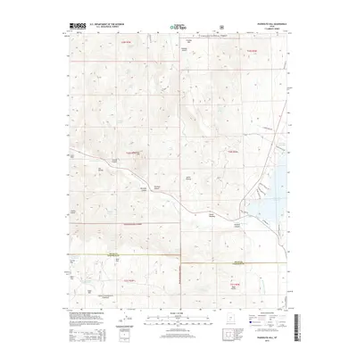
 2002 Phonolite Hill2005 Print · USGSHigh mountain forests and river canyons define the border of Piute and Garfield counties at the turn of the millennium. Genealogists and historians can trace high-country life through Sams Cabin, the Hodge Ranch Spring, and the grazing lands of Corral Flat.
 - 2011 Map of Antimony, 2011 Print
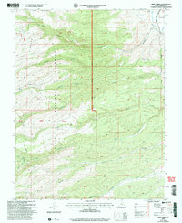
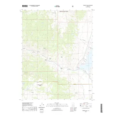
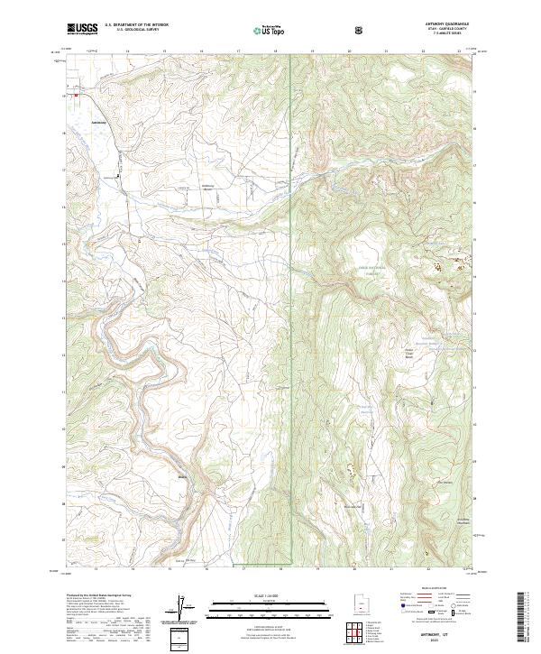
 2011 Antimony2011 Print · USGSCovers Antimony, including Garfield County, United States, and other nearby areas
 - 2011 Map of Angle, 2011 Print
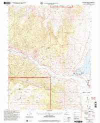
 2011 Angle2011 Print · USGSCovers Antimony, including Piute County, Garfield County, and other nearby areas
 - 2011 Map of Phonolite Hill, 2011 Print
 2011 Phonolite Hill2011 Print · USGSCovers Antimony, including Piute County, Garfield County, and other nearby areas
 - 2011 Map of Deep Creek, 2011 Print
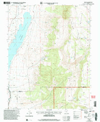
 2011 Deep Creek2011 Print · USGSCovers Antimony, including Garfield County, United States, and other nearby areas
 - 2014 Map of Angle, 2014 Print
 2014 Angle2014 Print · USGSCovers Antimony, including Piute County, Garfield County, and other nearby areas
 - 2014 Map of Phonolite Hill, 2014 Print
 2014 Phonolite Hill2014 Print · USGSCovers Antimony, including Piute County, Garfield County, and other nearby areas
 - 2014 Map of Deep Creek, 2014 Print
 2014 Deep Creek2014 Print · USGSCovers Antimony, including Garfield County, United States, and other nearby areas
 - 2014 Map of Antimony, 2014 Print
 2014 Antimony2014 Print · USGSCovers Antimony, including Garfield County, United States, and other nearby areas
 - 2017 Map of Angle, 2017 Print
 2017 Angle2017 Print · USGSCovers Antimony, including Piute County, Garfield County, and other nearby areas
 - 2017 Map of Antimony, 2017 Print
 2017 Antimony2017 Print · USGSCovers Antimony, including Garfield County, United States, and other nearby areas
 - 2017 Map of Phonolite Hill, 2017 Print
 2017 Phonolite Hill2017 Print · USGSCovers Antimony, including Piute County, Garfield County, and other nearby areas
 - 2017 Map of Deep Creek, 2017 Print
 2017 Deep Creek2017 Print · USGSCovers Antimony, including Garfield County, United States, and other nearby areas
 - 2020 Map of Angle, 2020 Print
 2020 Angle2020 Print · USGSCovers Antimony, including Piute County, Garfield County, and other nearby areas
 - 2020 Map of Antimony, 2020 Print
 2020 Antimony2020 Print · USGSCovers Antimony, including Garfield County, United States, and other nearby areas
 - 2020 Map of Phonolite Hill, 2020 Print
 2020 Phonolite Hill2020 Print · USGSCovers Antimony, including Piute County, Garfield County, and other nearby areas
 - 2020 Map of Deep Creek, 2020 Print
 2020 Deep Creek2020 Print · USGSCovers Antimony, including Garfield County, United States, and other nearby areas
 - 2023 Map of Antimony, 2023 Print
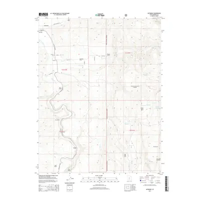
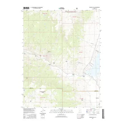
 2023 Antimony2023 Print · USGSGarfield County's high-plateau terrain is captured here in the early twenty-first century, showing the remote ranching and forest landscapes of the Sevier River drainage. Researchers can locate Antimony Cem, trace the settlement at Osiris, and explore the high-elevation reaches of the Dixie National Forest.
 - 2023 Map of Deep Creek, 2023 Print
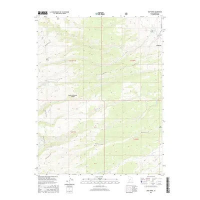
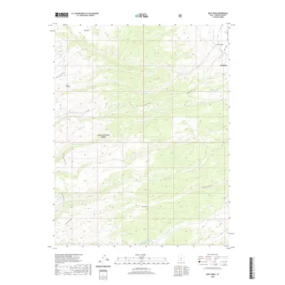
 2023 Deep Creek2023 Print · USGSAntimony and the surrounding Garfield County highlands are shown in great detail during the early 2020s. Researchers can trace the rugged livestock routes and water sources of the Sevier Plateau, from Jones Corral to the Deer Creek Black Canyon.
 - 2023 Map of Phonolite Hill, 2023 Print
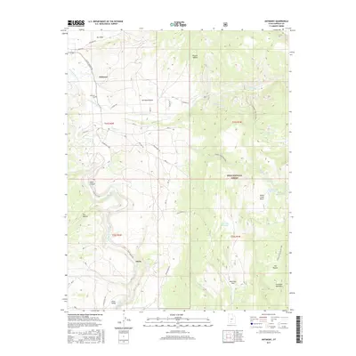
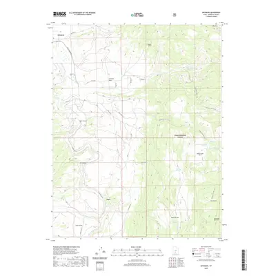
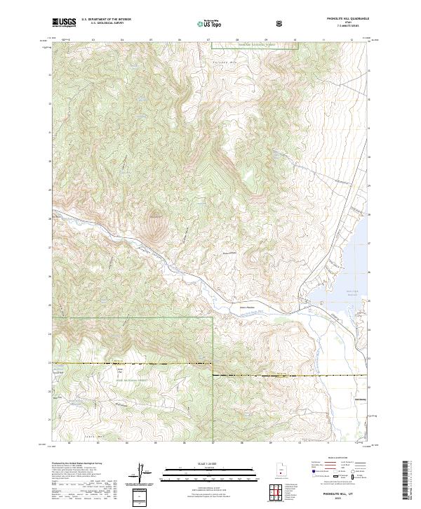 2023 Phonolite Hill2023 Print · USGSThe high plateau country along the Piute and Garfield county line is captured here as it appeared in 2023. Genealogists and researchers can trace the roads near Antimony, old water sources like Hodge Ranch Spring, and the reach of the East Fork Canal.
 - 2023 Map of Angle, 2023 Print
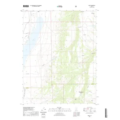
 2023 Angle2023 Print · USGSThe high plateau country of Piute County is captured here in the 2020s, showing the intersection of agricultural valleys and forest lands. Researchers can trace the water systems around Otter Creek Reservoir and remote landmarks like Bedspring Pass or Antimony.
End of results
Showing maps 1-23 of 23
Top cities near Antimony
Frequently asked questions
- What are the different types of historical maps available for Antimony?
- What is the oldest map of Antimony?
- Where can I purchase historical maps of Antimony for my home or office?
- Where can I download high-res historical maps of Antimony?
- Are there historical topographic maps available for Antimony?
- Is there historical aerial imagery available for Antimony?
- Where are historical maps of Antimony sourced from?