1970s Maps of Millard County, Utah
Explore 49 historic maps of Millard County from the 1970s. These maps offer a rare glimpse into what life looked like during the 1970s — showing old roads, neighborhoods, homes, and landmarks that have changed or disappeared over time.
Whether you're researching your family's past, planning a metal detecting trip, or studying how Millard County's landscape evolved across the 1970s, these high-resolution maps are a powerful tool for exploring the history of this region.
- Focus on a specific era: All maps on this page are from the 1970s, giving you a focused view of this time period.
- See what’s changed: Compare century-old streets, trails, and buildings to today's modern landscape using overlays and satellite layers.
- Research with precision: Use these maps for genealogy, historical research, land use analysis, or educational projects.
- View, download, or print: Maps are fully viewable online in high resolution, and can be downloaded or printed for your own records.
Start exploring Millard County's history through authentic maps from the 1970s. This is your window into the past.
Millard County, UT maps
(49)- 1971 Map of Red Pass, 1974 Print
 1971 Red Pass1974 Print · USGSIn the high desert of western Utah during the early seventies, the landscape was defined by mountain passes and dry lakebeds. Researchers can trace historic routes through Johnson Pass and Red Pass or locate the remote Corral in Sage Valley.
 - 1971 Map of Smelter Knolls East, 1974 Print
 1971 Smelter Knolls East1974 Print · USGSMillard County's desert landscape in the early 1970s reveals a mix of wartime history and arid-land industry. Researchers can locate the Topaz Camp (Site) and trace water infrastructure like the Abraham Canal and Abraham Reservoir.2 unique versions available
 - 1971 Map of Baker Hot Springs, 1974 Print
 1971 Baker Hot Springs1974 Print · USGSThe desert border of Juab and Millard County is captured here in the early 1970s, showcasing a landscape of ancient drainage and thermal activity. Researchers can trace the winding Old River Bed and locate isolated water sources like Baker Hot Springs and several Flowing Wells.
 - 1971 Map of Clay Knoll, 1974 Print
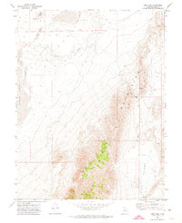
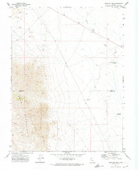
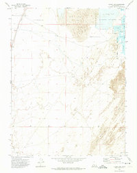
 1971 Clay Knoll1974 Print · USGSMillard County's high desert landscape is captured here in the early 1970s, showing a remote world of seasonal washes and mountain springs. Researchers can trace the water-scarce geography through features like Little Drum Spring, the Old Bed River, and several remote catchments including Clay Knoll Reservoir.
 - 1971 Map of Pavant Butte North, 1974 Print
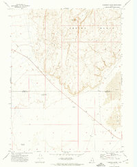
 1971 Pavant Butte North1974 Print · USGSMillard County's high desert landscape is captured here in the early seventies, centered on the stark geological profile of the Sevier Desert. Researchers can locate remote water sources like Mud Springs and the protected marshes of the Clear Lake Waterfowl Management Area.3 unique versions available
 - 1971 Map of Rocky Knoll, 1974 Print
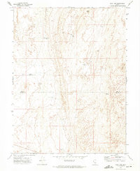
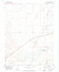
 1971 Rocky Knoll1974 Print · USGSMillard County's arid basin landscape is captured here in the early seventies, showing a detailed network of water management and desert landmarks. Researchers can trace the Old Channel Sevier River and locate vital points like Rocky Knoll Spring and Soda Well.
 - 1971 Map of Mountain Home Pass, 1974 Print
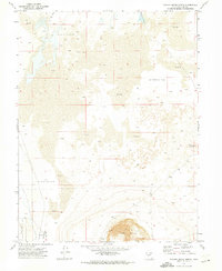
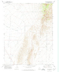
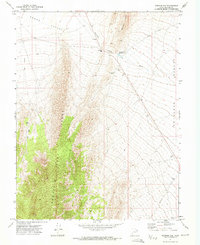
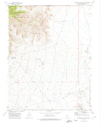
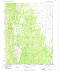 1971 Mountain Home Pass1974 Print · USGSHigh-desert rangeland and isolated peaks define this corner of Beaver and Millard Counties in the early 1970s. Researchers can trace remote water sources like Sand Spring and Cobb Spring or locate landmarks such as the Sheep Dip Trough and Mountain Home Pass.
 - 1971 Map of Neels, 1974 Print
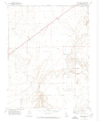
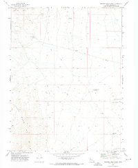
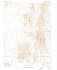
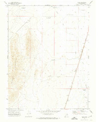 1971 Neels1974 Print · USGSMillard County in the early seventies shows a remote desert landscape shaped by the Union Pacific railroad and the Beaver River. Genealogists and historians can trace the isolated settlement of Neels and a network of desert basins like West Neels Reservoir.
 - 1971 Map of Rain Lake, 1974 Print
 1971 Rain Lake1974 Print · USGSThe high desert of Juab and Millard counties is captured here in the early seventies, showing a landscape of shifting sands and critical water infrastructure. Trace the locations of the Nooning Ground (Site), CCC Reservoir, and Rain Lake.
 - 1971 Map of Sunstone Knoll, 1974 Print
 1971 Sunstone Knoll1974 Print · USGSMillard County's arid basin and volcanic landmarks are captured here in the early seventies, just as modern water management shaped the desert. Trace the Union Pacific rail line past Sunstone Knoll and into the Clear Lake Waterfowl Management Area.
 - 1971 Map of Halfway Summit, 1974 Print
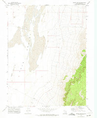
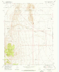 1971 Halfway Summit1974 Print · USGSSouthern Utah's high desert reaches are captured here in the early 1970s, showcasing the intersection of scientific land study and the rugged basin-and-range geography. Researchers and locals can trace remote water sources like Beers Tunnel Spring and landmarks such as Five Points or The Toad.
 - 1971 Map of Drum Mts Well, 1974 Print
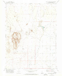
 1971 Drum Mts Well1974 Print · USGSJuab and Millard counties in the early 1970s reveal a landscape of desert water management and mountain exploration. Trace the locations of critical resources like the Drum Mts Well, the Picture Rock Wash Reservoir, and small mining sites like a Prospect.
 - 1971 Map of Tunnel Spring, 1974 Print
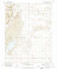
 1971 Tunnel Spring1974 Print · USGSMillard County's high-desert research lands are captured here in the early seventies as the federal government managed arid ecosystems. Researchers and local historians can trace specific Experimental Plot sites, the route of Cowboy Road, and the location of Tunnel Spring.
 - 1971 Map of Pot Mountain, 1974 Print
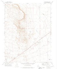
 1971 Pot Mountain1974 Print · USGSMillard County's high desert reveals its complex water history in the early 1970s as rivers wind through ancient beds and salt marshes. Researchers can locate remote landmarks like the Headquarters Well, a lonely Grave, and the volcanic expanse of Black Rock.
 - 1971 Map of Clear Lake, 1974 Print
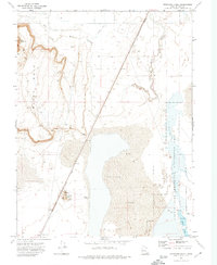
 1971 Clear Lake1974 Print · USGSThe Millard County desert comes alive in the early 1970s where rail and water intersect at a remote outpost. Trace the Union Pacific line as it passes Clear Lake and the managed wetlands of the Clear Lake Waterfowl Management Area.
 - 1971 Map of Pavant Butte South, 1974 Print
 1971 Pavant Butte South1974 Print · USGSMillard County's volcanic and desert landscape is meticulously detailed in the early 1970s, showing the intersection of managed wetlands and lava fields. Researchers can locate the Clear Lake Waterfowl Management Area and trace geological landmarks from Pavant Butte to the Devils Kitchen.2 unique versions available
 - 1971 Map of Fumarole Butte, 1974 Print
 1971 Fumarole Butte1974 Print · USGSJuab and Millard counties appear in the early 1970s as a remote desert landscape defined by ancient volcanic and water features. Collectors and geologists can trace the Old River Bed and locate isolated water sources like Swasey Hardpan Reservoir and Crater Reservoir.
 - 1971 Map of Crafts Lake, 1974 Print
 1971 Crafts Lake1974 Print · USGSMillard County's arid basin is captured here in the early seventies, showing a landscape shaped by historical events and irrigation. Researchers can locate the Gunnison Massacre Monument and trace water routes like Old River Bed and Crafts Lake.
 - 1971 Map of Mormon Gap, 1974 Print
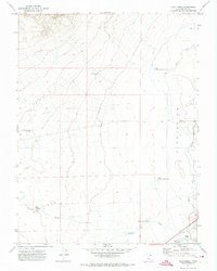
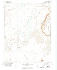
 1971 Mormon Gap1974 Print · USGSThe high-desert terrain of Millard County is captured here in the early seventies, centered on the natural pass of Mormon Gap. Local historians can trace early infrastructure like Cowboy Road, the Mormon Gap Reservoir, and industrial markers like the Storage Bin.
 - 1971 Map of Smelter Knolls West, 1974 Print
 1971 Smelter Knolls West1974 Print · USGSMillard County's high desert landscape is documented here during the early seventies, showing a rugged network of interior trails and water catchments. Researchers can locate remote sites like the Old Smelter Well, the Greener Reservoir, and the Little Drum Mts mineral prospects.2 unique versions available
 - 1972 Map of Whirlwind Valley SW, 1974 Print
 1972 Whirlwind Valley SW1974 Print · USGSMillard County's high desert terrain is captured here in the early seventies, showing a land defined by water management and mineral extraction. Trace the isolation of the Swasey Mountain wilderness or locate remote points like Tin Well and Antelope Spring Reservoir.
 - 1972 Map of Headlight Mtn, 1974 Print
 1972 Headlight Mtn1974 Print · USGSThe high desert of Millard County meets the eastern edge of Sevier Lake in the early 1970s. You can trace movement through the Cricket Mountains via family-named landmarks like Petes Knoll, Cys Pass, and Lone Cedar Pass.
 - 1972 Map of Swasey Peak SW, 1974 Print
 1972 Swasey Peak SW1974 Print · USGSMillard County's high desert reaches are captured here in the early seventies, showcasing the transition from basin floors to mountain peaks. Researchers can locate the isolated Parto settlement and trace the primitive tracks skirting the Sand Dunes and Smelter Hills.2 unique versions available
 - 1972 Map of Long Ridge, 1974 Print
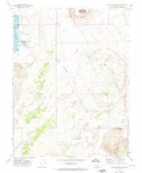
 1972 Long Ridge1974 Print · USGSMillard County, Utah, is shown in the early seventies as a landscape of resource management and desert navigation. Water-seekers and local historians can trace infrastructure such as Pony Express Reservoir, Styler Reservoir, and the intermittent course of Soap Wash.
 - 1972 Map of Needle Point, 1974 Print
 1972 Needle Point1974 Print · USGSThe arid shores of western Utah come into focus in the early seventies, detailing the intersection of high desert terrain and the Sevier Lake bed. Researchers can trace remote water improvements like Madsen Reservoir and the primitive Jeep Trail winding past Coyote Knolls.
Showing maps 1-25 of 49
Top cities of Millard County
- Delta historical maps
- Fillmore historical maps
- Hinckley historical maps
- Oak City historical maps
- Kanosh historical maps
- Holden historical maps
See more
Frequently asked questions
- What are the different types of historical maps available for Millard County?
- What is the oldest map of Millard County?
- Where can I purchase historical maps of Millard County for my home or office?
- Where can I download high-res historical maps of Millard County?
- Are there historical topographic maps available for Millard County?
- Is there historical aerial imagery available for Millard County?
- Where are historical maps of Millard County sourced from?